Maryland Roads - I-695 - Outer Loop
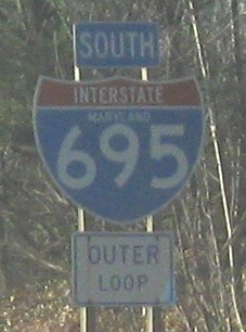
Older signs in need of arranging.
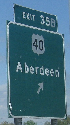
What's odd about this button copy is that it suggests a single exit for US 40 once upon a time, but looking back through Historic Aerials, there has always been a cloverleaf here. So I suppose both ramps were once signed as a single exit using just this one since-erased sign.
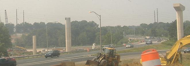

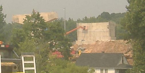
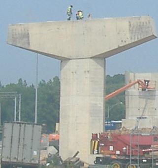
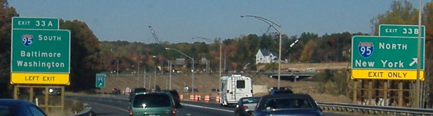
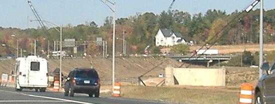
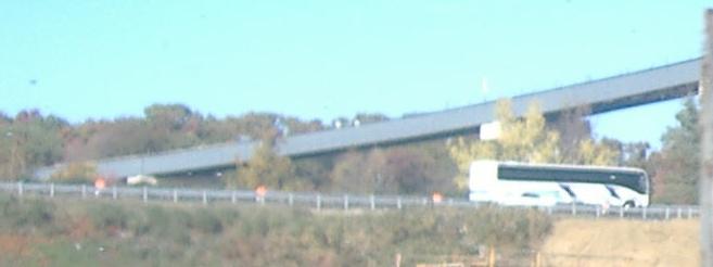
Ongoing work to untangle the tangled interchange with I-95 at Exit 33 - currently, the opposing roadways of each highway cross each other so that all eight ramps head straight from one highway to the other. You can see I-695 EB crossing the WB side in the first photo. These photos are of the future I-95 NB flyover ramp to I-695 WB, taken from the SB-WB ramp in August 2007.
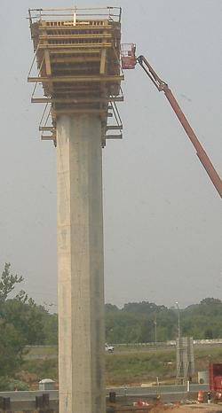
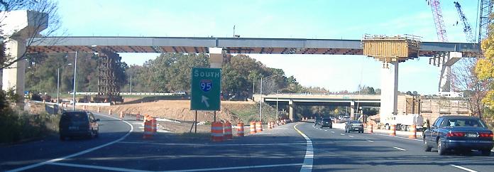
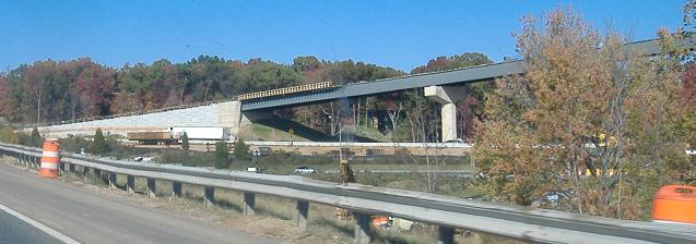
In April 2008, the NB-WB flyover ramp is starting to look like a road instead of a modern Concretehenge.
A November 2007 run from northbound to westbound along I-695 (this is basically where it switches).
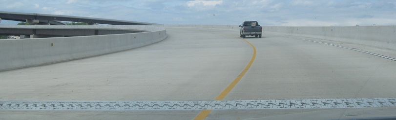
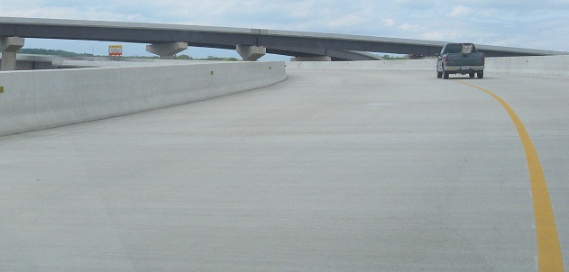
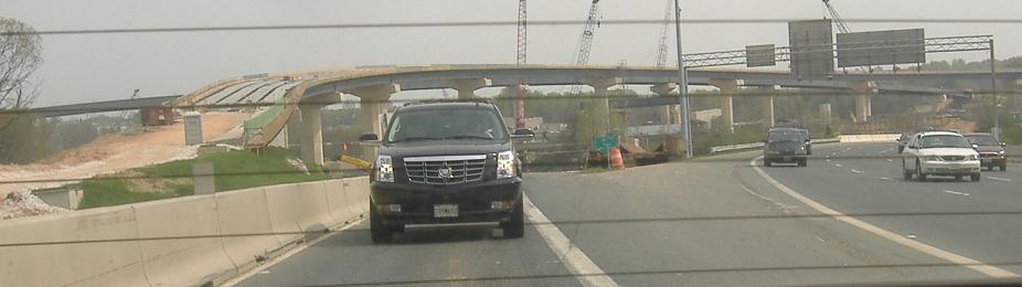
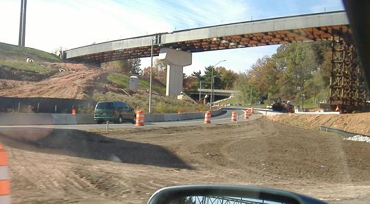
In April 2010, in plenty of time for the Baltimore Road Meet, the NB-WB flyover was open to travel, but still incomplete. The I-95 HOV lane is still under construction, but even after it opens, this ramp still won't connect to it. The final connections have been delayed indefinitely due to budget, so the green patches and stub ends will sit out here for many years and could become quasi-permanent. Not like Baltimore's never had stubs before.
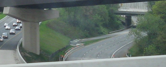
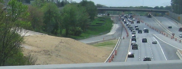
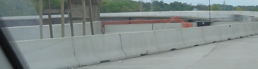
Speaking of stubs, here are the original I-95 through roadways that used to cross over each other. Both photos look south, the first at the former SB lanes with a truncated left merge from I-695 WB, and the second along modern I-95 SB at the site of the former crossover with the I-95 NB bridge still on top. The roadways are still used for contractor staging during construction, and will probably be gone by the end of construction. But you never know. The HOV lane construction keeps I-95 traffic shifting all over the place as it heads toward I-895.
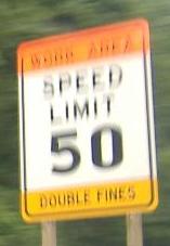
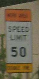
Construction speed limits don't need to be MUTCD compliant, but the fonts were laughable in this summer 2005 zone.
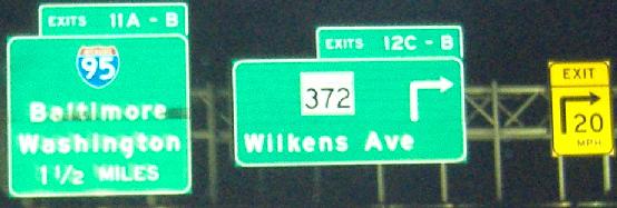
The sign on the right is too narrow, squeezing shields and text and making it unclear which lane goes where. Other agencies would use two signs.
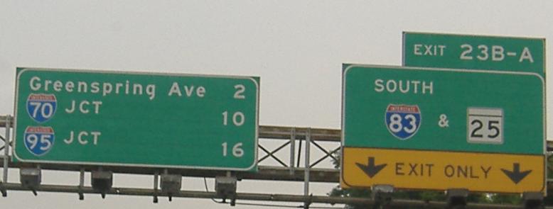
The ampersand sees occasional use around Maryland, which is far more often than in most states.
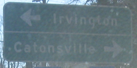
Creative uses of right arrows. As sharp as these turns may be, considering that one is exiting an Interstate, the arrows should not be pointing hard right (though it is attention-getting).
 Button copy on the Exit 13 ramp.
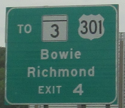
EB at Exit 4 to I-97. If you're going to use the type of signs that are for assemblies, why put them on a green sign?
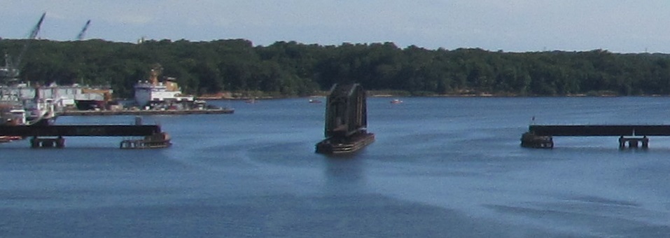
I-695 and the parallel CSX railroad to the south both cross Curtis Creek on a drawbridge. The difference is that Interstates aren't supposed to, which is why this is technically MD 695.
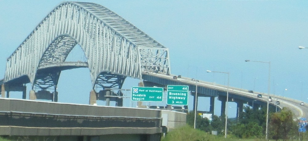
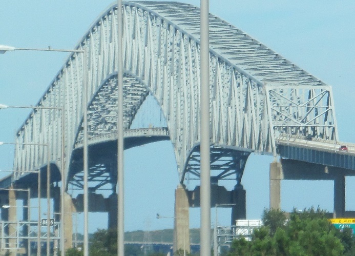
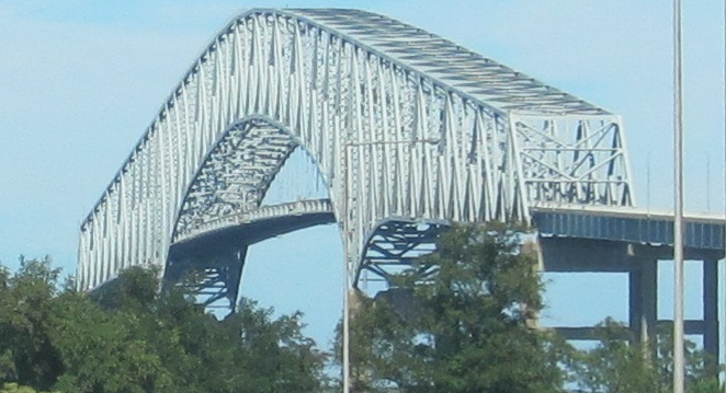
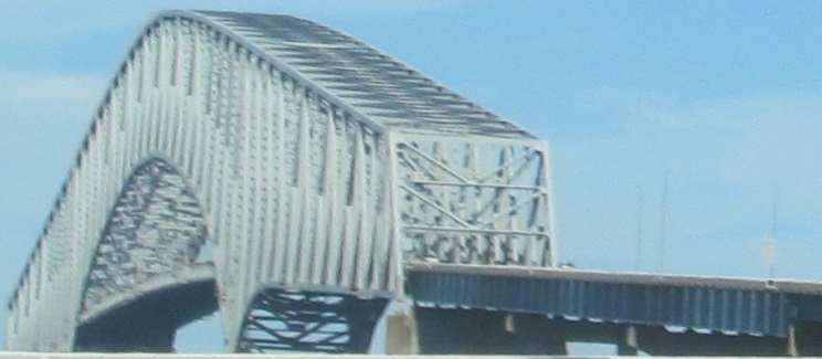
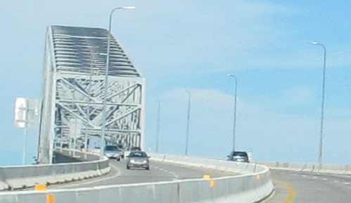
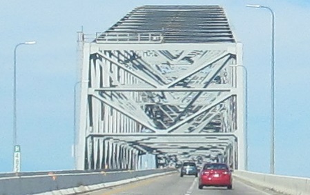
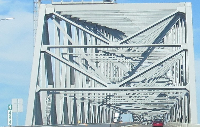
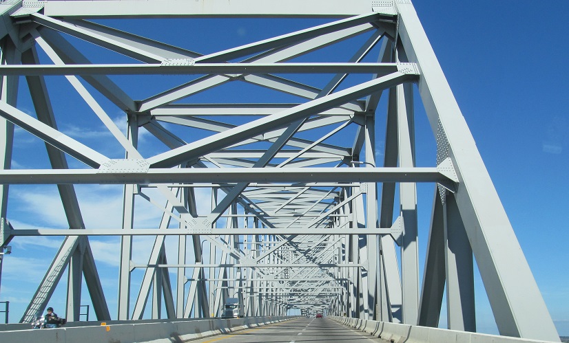
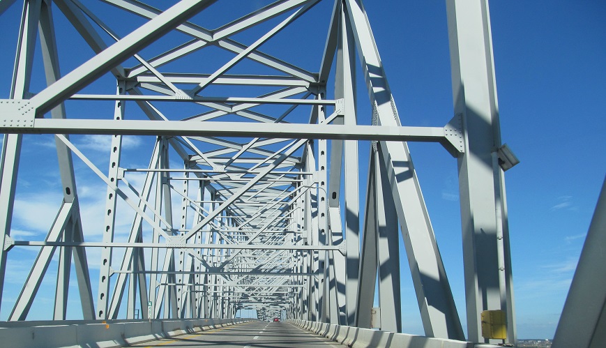
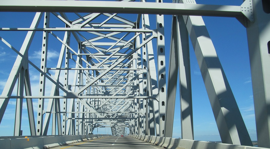
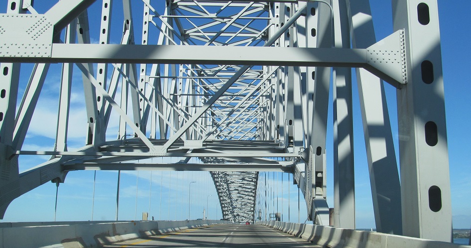
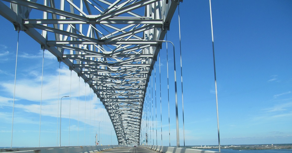
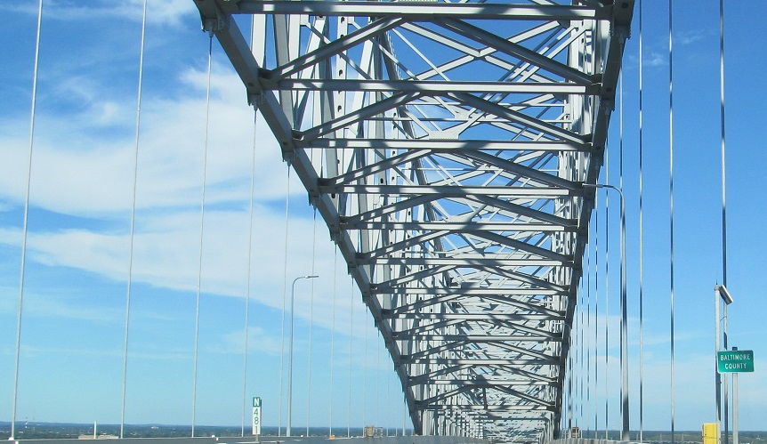
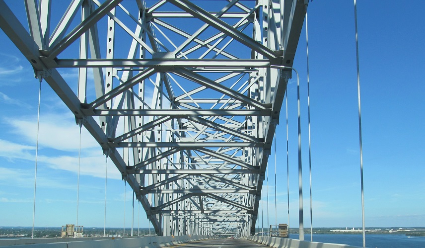
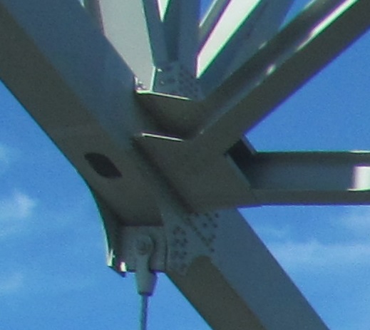
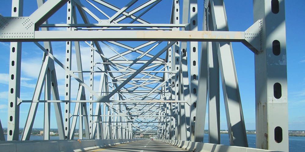
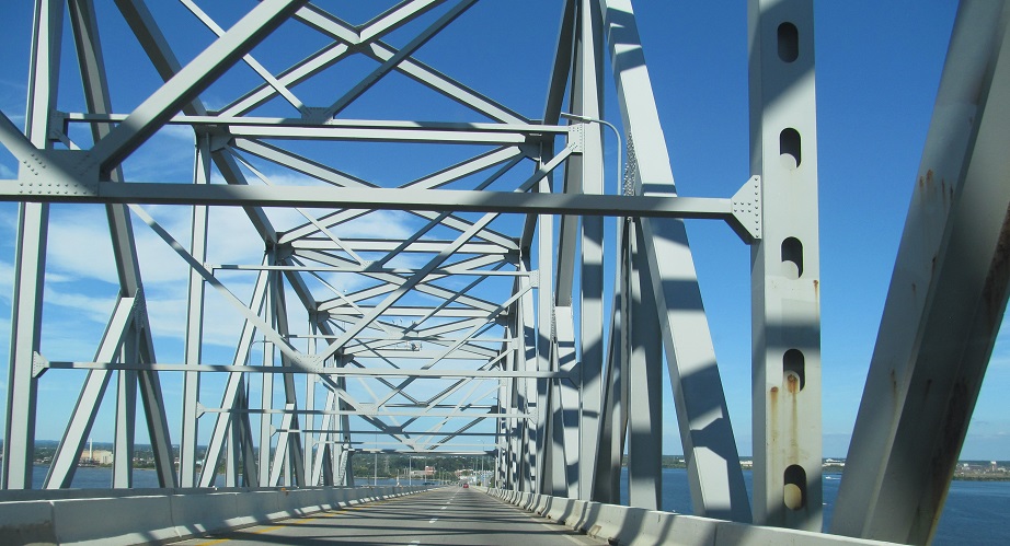
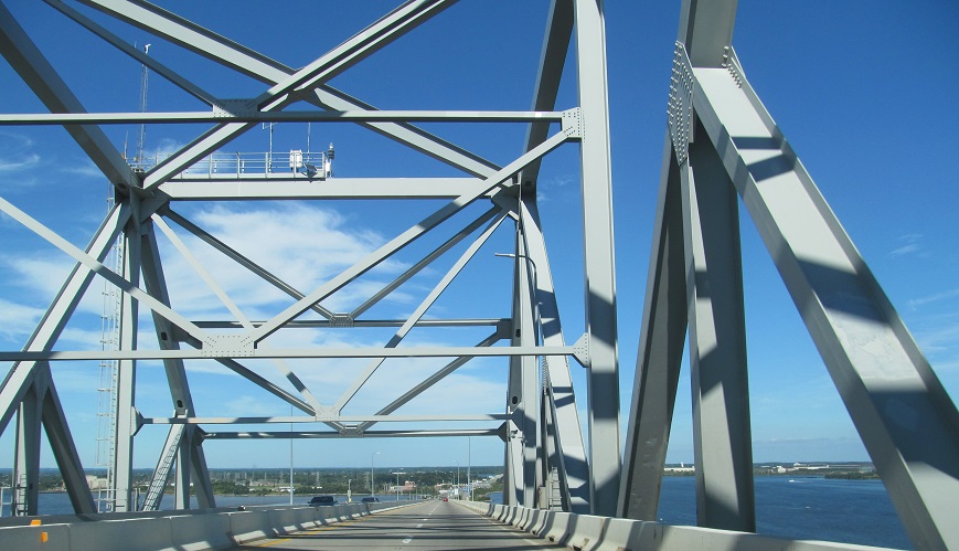
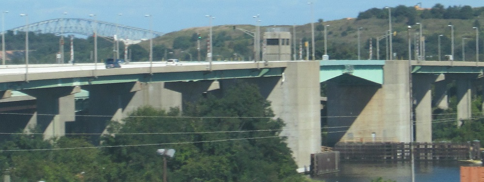
The (Francis Scott) Key Bridge carries I-695 across the Patapsco River at the exit to Baltimore Harbor. It opened in 1977, a critical link in the Beltway.
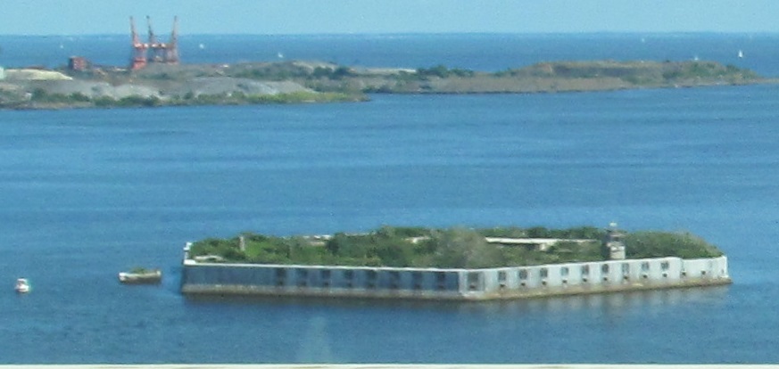
Looking south at Fort Carroll, which defended Baltimore from 1850-1921.
Over to the Inner Loop and intersecting roads
Back to I-695 main page
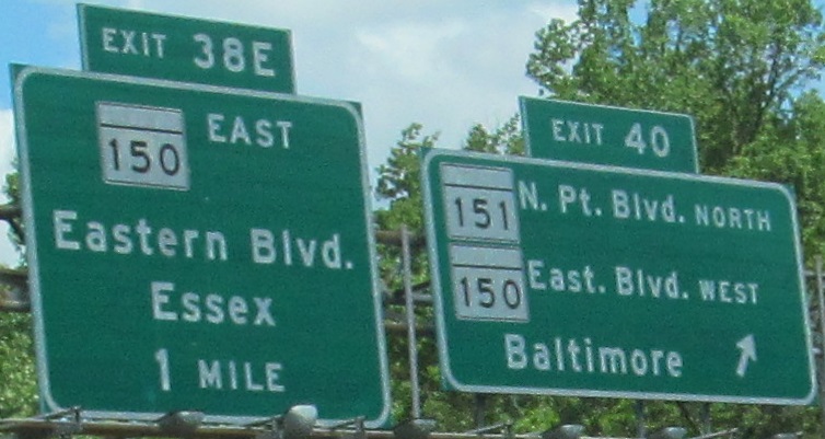
Exits 38E/40 to MD 150
Exit 40 to MD 151
Exit 35B to US 40
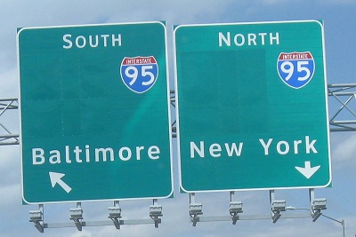
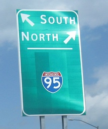
Exit 33 or 11 to I-95
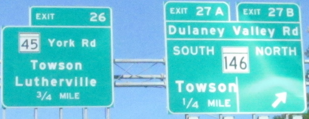
Exit 27 to MD 146
Exit 26 to MD 45
Exit 23 to I-83
Exit 23 to MD 25
(Exit 22 to) Greenspring Ave.
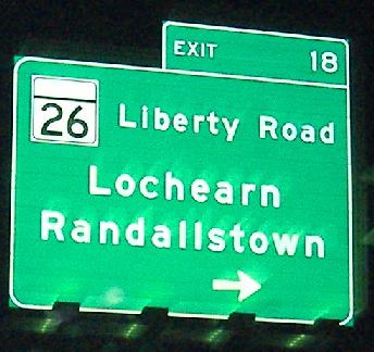
Exit 18 to MD 26
Exit 16 to I-70
Exit 4 to I-97
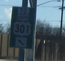
Exit 4 to US 301
Exit 4 to MD 3
The April 2010 Baltimore Road Meet
See more of Baltimore County
Back to Maryland Roads
Back to Roads