Massachusetts Roads - US 20 EB
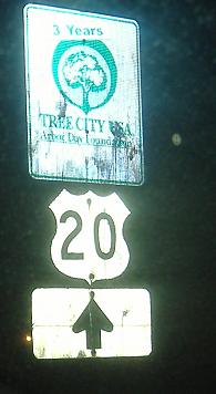
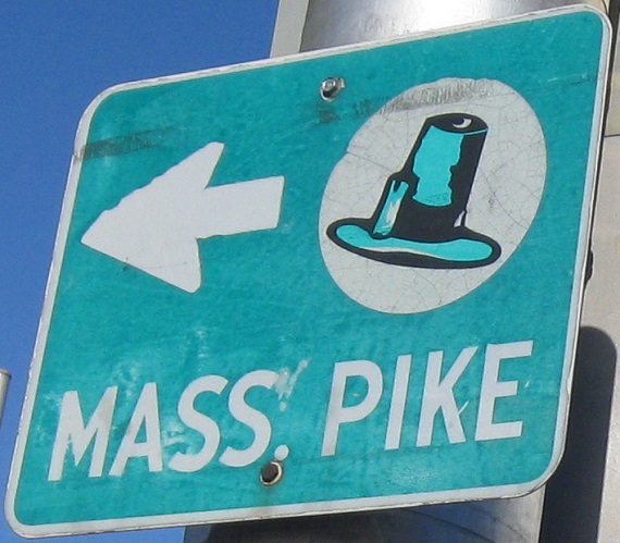
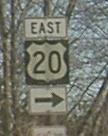
Old Mass Pike trailblazer at the first route junction entering the state.
Long multiplex begins here in Pittsfield, and heads nearly 10 miles south. This is an overhead LGS, something I've never seen in Massachusetts before.
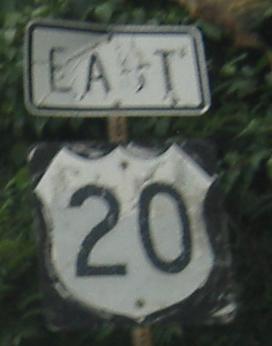
Both routes had old signs in Westfield, courtesy Doug Kerr, but these are gone now. The only old shield remaining in Westfield has a black background about the width of that old arrow, visible if it were daylight.
Oldish signs inside the rotary above the US 5 freeway.
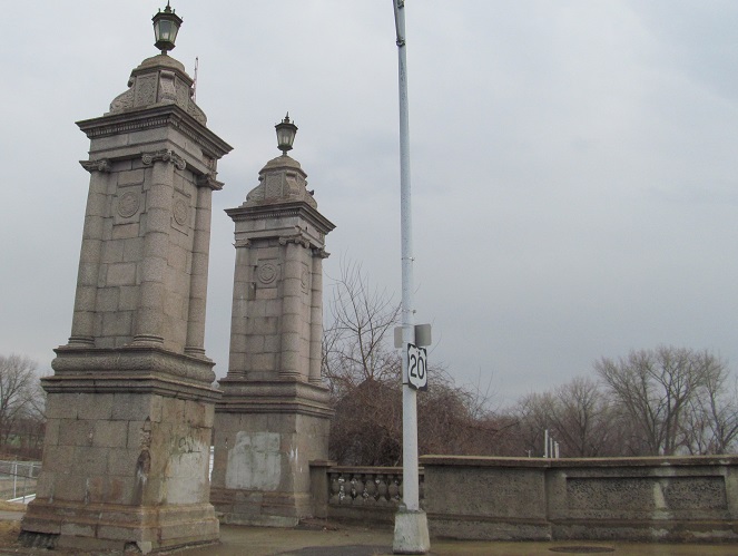
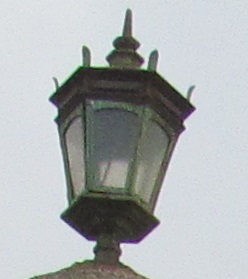
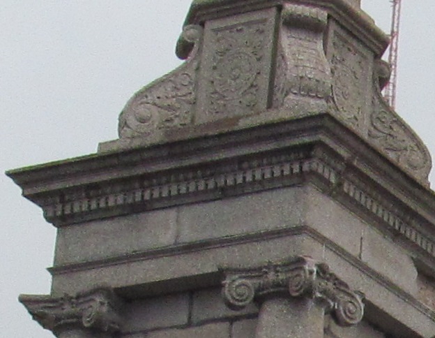
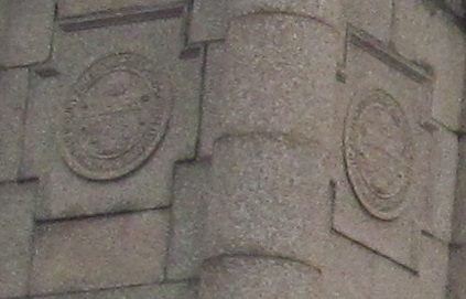
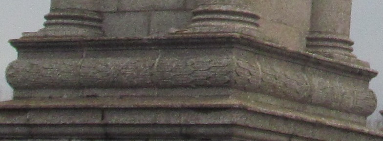
This representative photo of the 1924 North End Bridge (with various details) is at the southeast corner of the span as US 20 crosses the Connecticut River into Springfield. I believe the 4th photo is the city seal.
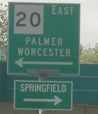
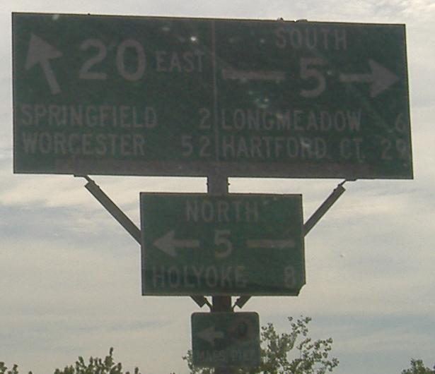
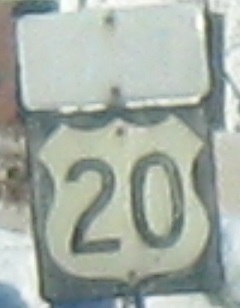
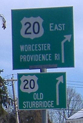
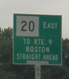
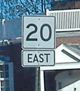
I got a comment from someone out of state that he wasn't sure whether MA had both a US 20 and a MA 20, that's how many square shields there are. This one is where US 20 EB turns from Pasco Rd. onto Boston Rd. east of Springfield.
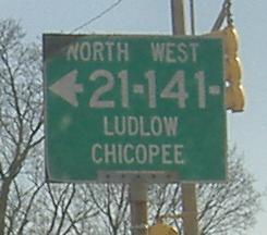
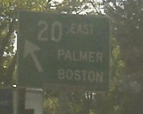
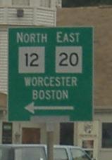
Old signs at and past MA 21/141 into Wilbraham and Palmer.
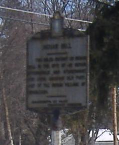
Contuining eastward toward Sturbridge, historic site sign and slightly unnecessary duplication.
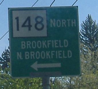 MA 148, not CT 148. Still eastbound.
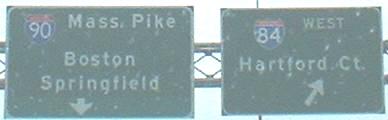
At I-84 Exit 3. Notice that I-84 EB is simply signed as I-90, since there are no other exits before you get to the Mass. Pike tollbooths. These signs are gone now.
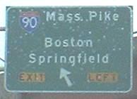
Olllllld button-copy.
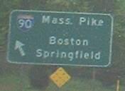
Hand painted and misshapen.
This stretch has a lot of confusion over exactly how to make a US shield. Hint: it has more than four corners. And curves. Oh, and do tell me when it became necessary to tell people to continue straight ahead to stay on the route, when the cross street is narrow and meets at a 90 degree angle?
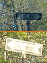
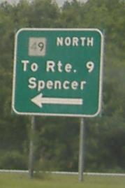
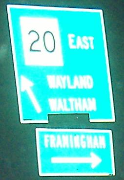
Passing Route 9, and coming to old one-way signs on the divided Gore St. in Waltham.
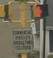
EB at Vernon St., entering Waltham; Vernon is used as a cutoff to South St. (Brandeis University) and Moody St. (the vibrant downtown area), but obviously not for 5001-lb. trucks.
Not done with the squares yet!
Old signs on the eastbound side (the first sign faces north).
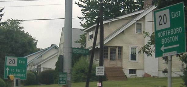
Okay, that hopefully does it for every single square US 20 shield I'll ever see in my life. These are just east of MA 16. This is another rare case of an old sign I don't mind disappearing, though I've never seen the rounded-corner white border before in MA.
US 20 has many medians across Massachusetts. This restricted one is between Soldiers Field Road and Leo M. Birmingham Boulevard. Guess where I shot the photo from.
Imaginative but wrong, at the western end of Birmingham Blvd.
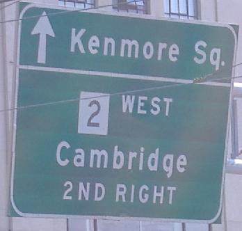
Approaching the BU Bridge and MA 2. MA 2 EAST technically makes the first right, but since it comes back to Kenmore Square and takes Comm. Ave. away from US 20 in a needless loop, traffic may as well go straight (there's a nice EAST sign dangling at Kenmore to "help" you).
This sign, dating from 1976, is at the west side of the southern BU Bridge circle (see the MA 2 page, linked below). It once encouraged US 20 EB bridge traffic to use the reverse inner loop (which is like a jughandle), rather than the counter-clockwise outer loop that all other traffic uses, although EB bridge traffic could just as easily use the outer loop. The sign, which has been functionally replaced by a "CAMBRIDGE NEXT RIGHT" sign below it, says:
^ BU BRIDGE
| CAMBRIDGE
| NEXT RIGHT
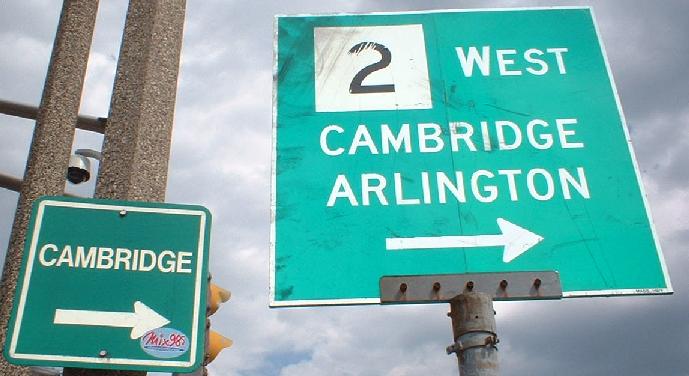
At the east side of the circle, at the inner loop itself. The MassHighway LGS is somewhat newer than the other signs around the rotary, and the CAMBRIDGE sign is probably city signage.
 In Brookline, just west of where US 20 ends at MA 2.
Over to US 20 WB
Onto US 20/I-291
Back to US 20 main page
Follow US 20 into New York
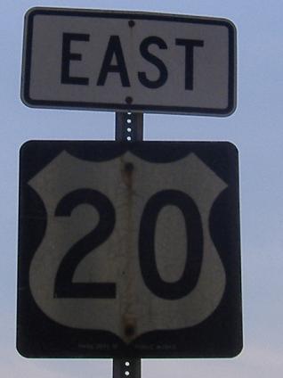
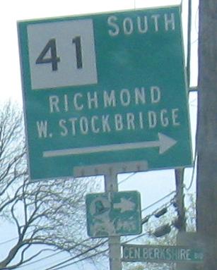
Onto MA 41
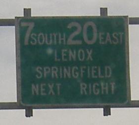
Onto US 7
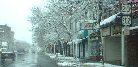
Onto US 5
Onto MA 21
Onto MA 141
Onto MA 148
Onto I-84
Onto I-90
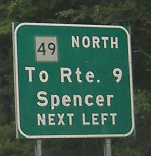
Onto MA 49
Onto MA 12
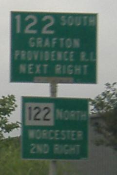
Onto MA 122
Onto MA 9
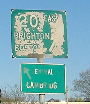
Toward Cambridge
Onto the BU Bridge, MA 2
Onto MA 2 east of the BU Bridge
Back to Massachusetts Roads
Back to Roads