Massachusetts Roads - MA 28 - Cape Cod
 on Cape Cod
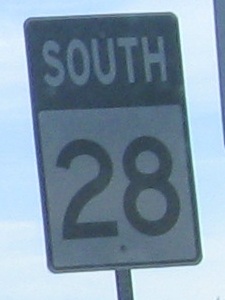
Photos progress southward, in my predominant direction of travel.
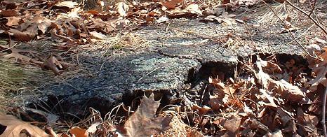
My next MA 28 page north (linked at bottom) has a cool old bridge abutment on Perry Ave. in Buzzards Bay from before the Bourne Bridge was constructed. The southern approach in Bourne is much harder to spot, and hasn't been maintained nearly as well (though I don't really believe the northern approach is being maintained per se). Besides the name of Perry Ave., the only other clues you get that this was once part of a bridge approach are the grading under the trees and little bits of pavement in the leaves that no one cares to pick up. You can look straight across to the northern side and see the old abutment there.
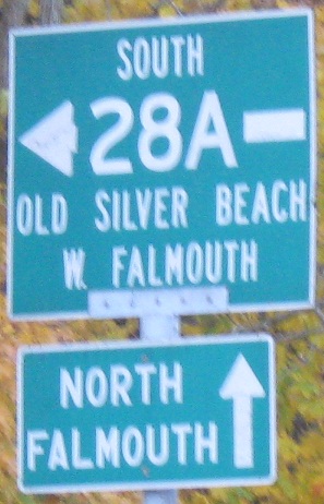
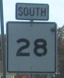
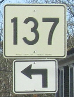
SB at Sandwich Rd. The signs are very much in the wrong order, but at least all the parts are there. They're just... Sandwiched together.
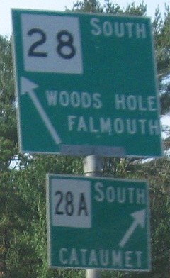
The second photo is at the end of MA 151. The first photo begs the question, just how does Massachusetts decide the sizes of each paddle sign and each shield?
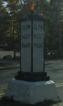
Ancient traffic control in Falmouth.
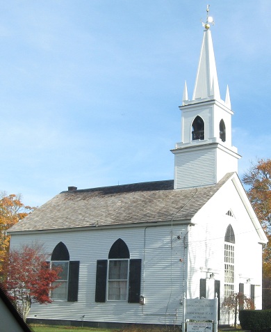
SB to the Waquoit Congregational Church.
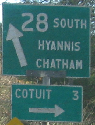
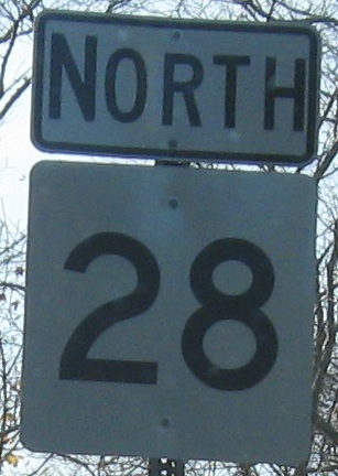
SB at and beyond Quinaquisset Ave. MA 28 won't be heading south anymore, and should probably have changed directions to east/west across Cape Cod. The LGS is rare because even the smaller sign is in the old Mass. font.
 MA 149 SB, ending.
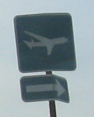
Inside the rotary with Barnstable Rd. and MA 132; the Barnstable Municipal Airport entrance is the north leg.
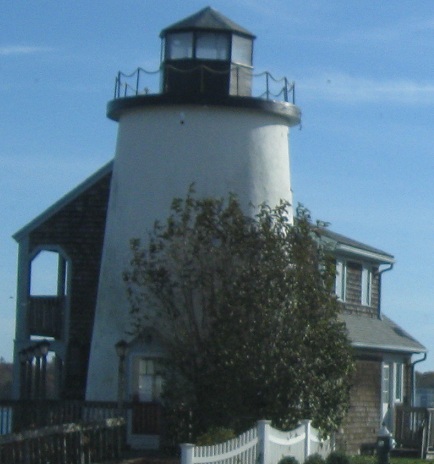
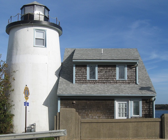
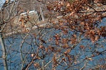
I'm not sure how useful an inland lighthouse is, guarding the entrance to Grand Cove at a bridge far too low to allow marine traffic past it.
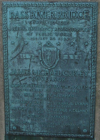
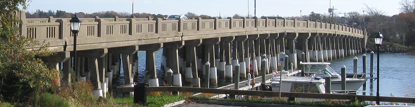
The Bass River Bridge (1935) crosses from the lighthouse in South Yarmouth to West Dennis.
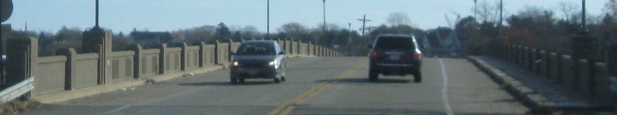
Looking east (MA 28 SB).
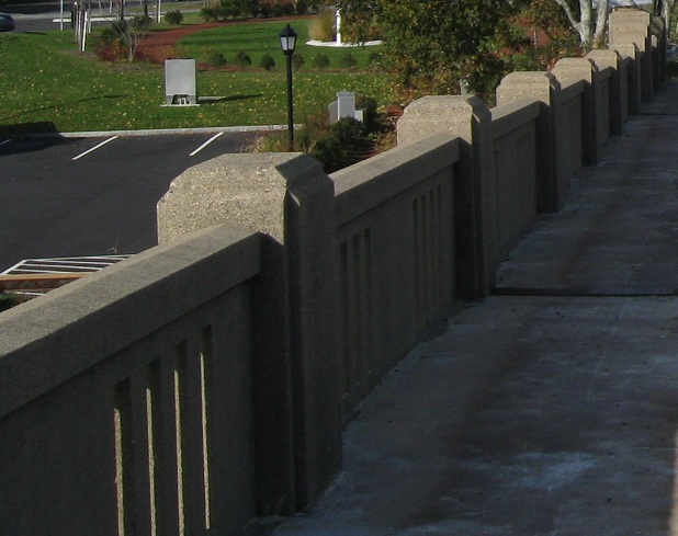
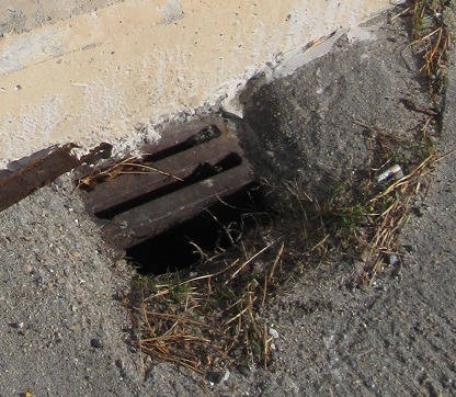
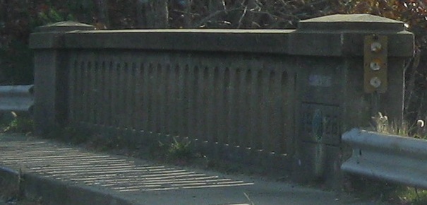
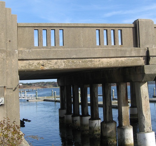
Details of the southern parapet, with a miniature storm grate.
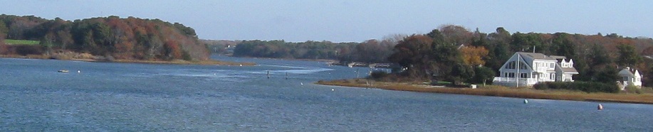
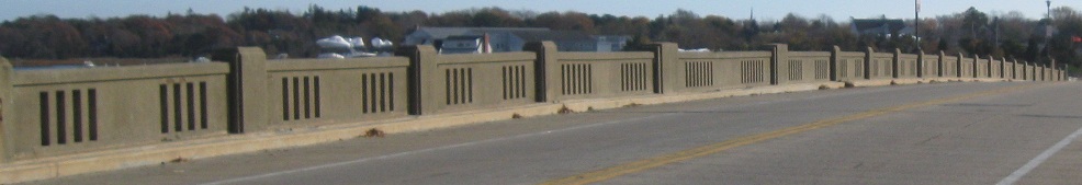
Looking north at Grand Cove.
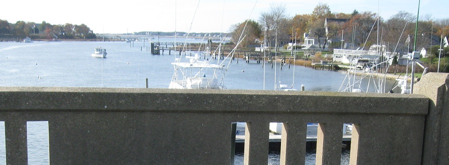
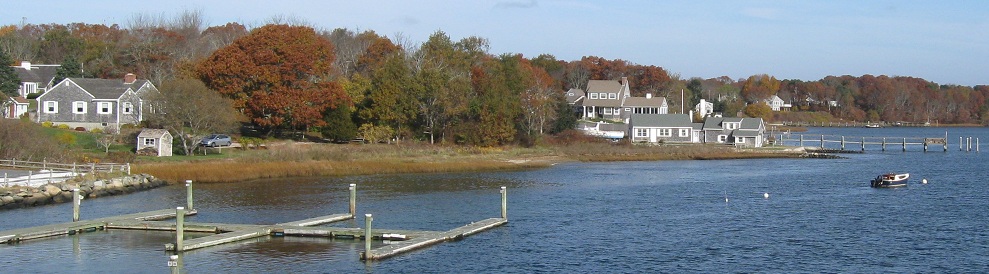
Looking south at the South Yarmouth marina, with no more obstructions before the open ocean of Nantucket Sound.
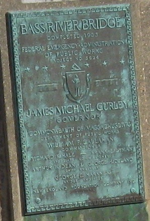
The Bass River Bridge (1933) crosses from West Dennis to South Yarmouth. What, did half the bridge open before the other half?
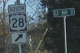
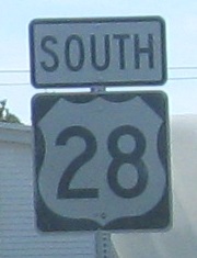
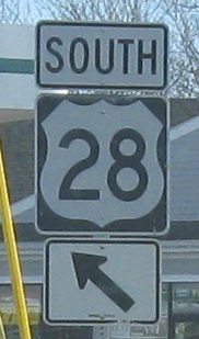
US 28 has never existed outside Oregon and hasn't been seen in 60 years. Until now. And it even violates the US highway numbering scheme of evens east-west, odds north-south.
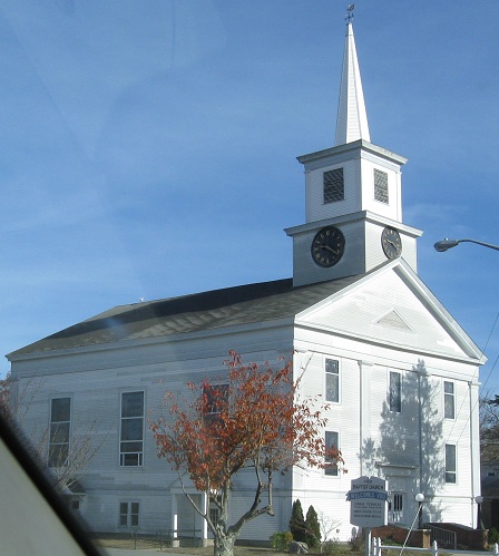 First Baptist Church of Harwich.
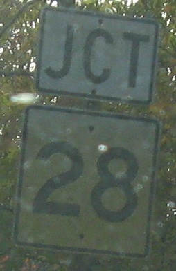
NB in that area, stealing a sign meant for mounting on a BGS (but there are none nearby).
More SB old signage, ending up heading north by the last couple of signs. MassHighway has gone so far as to remove directional designations from signs in this area to avoid confusing people who think north is, well, north.
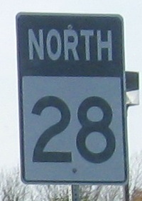
Continue north on MA 28
Back to MA 28 main page
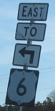
To US 6
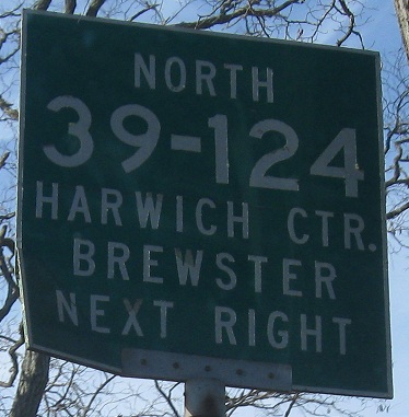
Onto MA 39
Onto MA 124
See more of Barnstable County (Cape Cod)
Bourne Bridge on Steve Anderson's bostonroads.com
Back to Massachusetts Roads
Back to Roads