Massachusetts Roads - MA 1A/MA 133 - Salem and north
 , Salem and north
and MA 1A/133
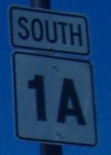
We start in Salem, where the above off-font shield was taken (on the bridge from Beverly).
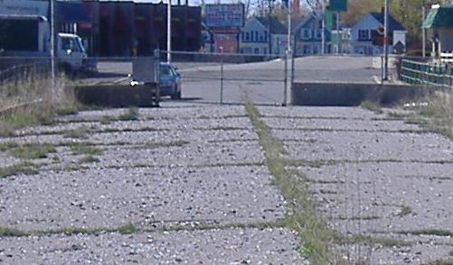
Looking north from the end of Thorndike Street toward the new bridge, which clearly has a constructed approach not in use. This approach extends a few hundred feet along the railroad before ending. It was originally planned as an I-95 spur, back when I-95 was to use the Northeast Freeway (now just US 1 and only partially completed), then was cancelled entirely, and now is modified as a highway to run straight into Washington Street. I would think most of the traffic is there in the center of town, not along the northern leg of Bridge St. that MA 1A currently uses, but what the hey. For more history of the I-95 spur, visit the Beverly-Salem Connector link to Steve Anderson's page, at bottom.
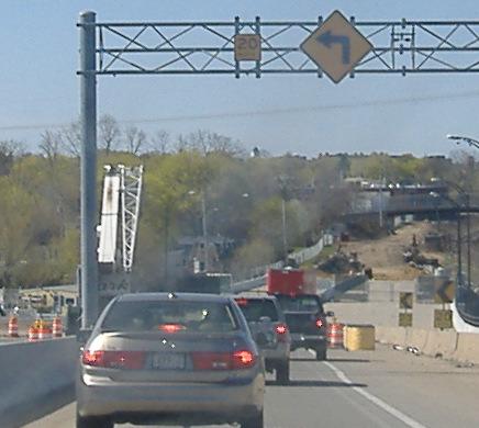
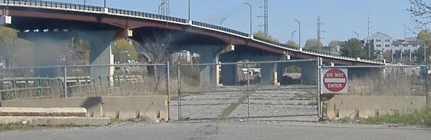
The current stub end of the Salem Bypass, and a peek up on top of it.
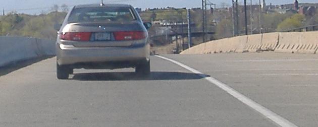
Coming down MA 1A SB across the bridge. Bridge St. will intersect the bridge-bypass route in a partially channelized T intersection. It appears that all approaches will have four lanes, with one through and one turn lane for the bridge-bypass route.
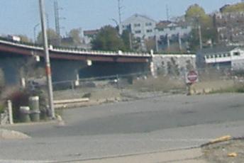
Looking down the end of old Bridge Street, which went into (gee whiz!) an old bridge, now gone. Well, mostly...
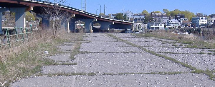
Walking north along the old Bridge St., onto the old bridge approach, and, well, I doubt that bridge ever had wooden planks. My guess is that when the old bridge was removed, the end was planked over as a fishing pier, though there certainly are no signs or railings at the very end warning you of the sudden 20-foot drop.
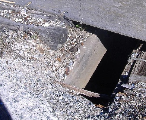
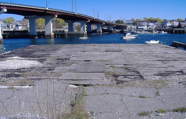
First of all, MassHighway and/or Salem did a terrible job planking, because there are holes everywhere, many big enough to swallow your child, your dog, or even you. Second of all, while there aren't railings where they're most desperately needed, even those railings left over on the approach are in miserable condition. Since the new bridge is relatively new, I can only imagine the old bridge was really in this bad a condition.
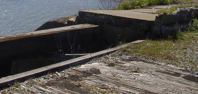
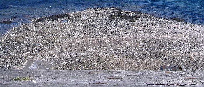
A look at the connection between (pier?) and approach, and some of the old concrete used in the approach.
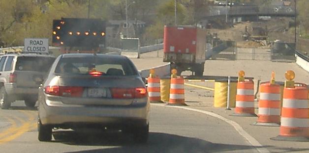
Heading back along old Bridge St. Wave hi to my Taurus!
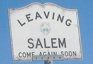
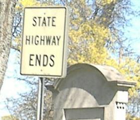
We sure will! This is the only case of a standard MA town line sign saying "LEAVING" that I know of, let alone giving you a parting message.
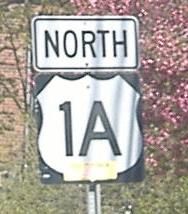
Jumping to Ipswich and the MA 1A/MA 133 multiplex, a couple of old NB/WB signs.
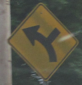
Two more signs on the multiplex, including a nice old arrow that amazingly is still on state-maintained highway. (Judging from Vermont, town-maintained highways would seem likelier to have old signs.)
Well, at least this town-maintained section of highway has an incorrect sign. Swap this one with one on MA 1A near Rhode Island (which becomes US 1A across the border).
Two more old signs, heading out of Ipswich and crossing the railroad tracks. MA 1A and 133 are still duplexed.
Now on just MA 1A again.
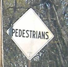
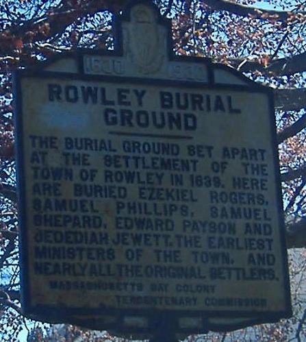
This faces the old route of MA 1A between Rowley and Newbury, which is a car-width west of the current route. It's now in use to serve the driveways of a strip of houses, and isn't really paved. I'm not in the habit of taking photos of non-street signs, but this one's age and peelingness jumped out at me.
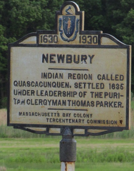
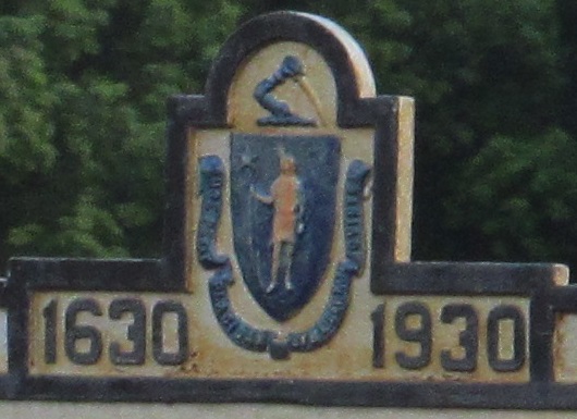
Heading south from Newbury.
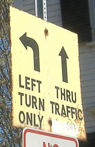
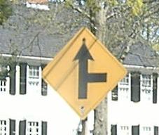
Very old version of lane arrow signage, NB in Newburyport at State St.
Continue south on MA 1A
Back to MA 1A main page
Onto US 1 and the US 1/MA 1A duplex
Onto MA 133 alone
North into New Hampshire on 1A
See more of Essex County
Back to Massachusetts Roads
Back to Roads