Massachusetts Roads - MA 1A - Revere-Lynn
MA 1A in Revere and Lynn
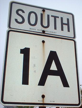
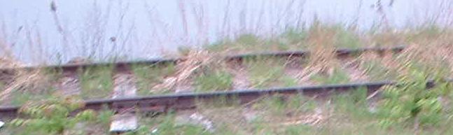
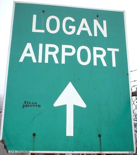
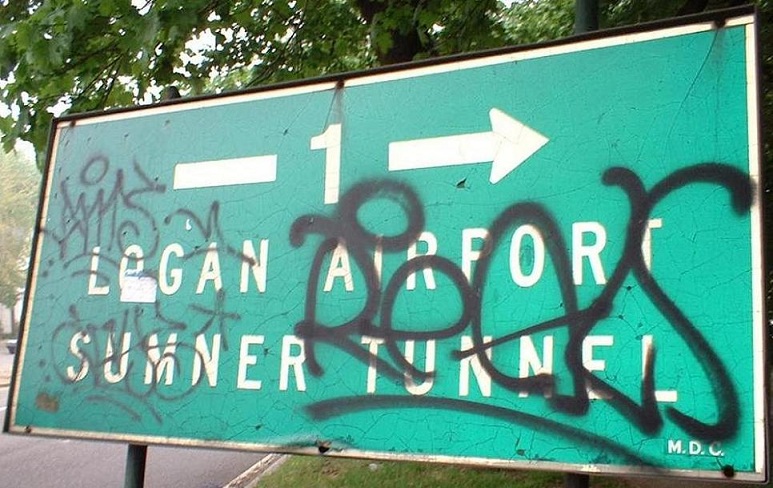
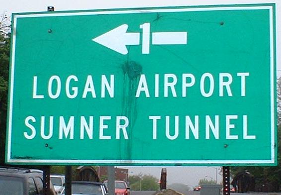
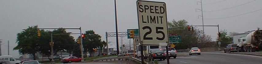
Passing the time between interchanges. The SOUTH banner on the 1A shield clearly reads "MASS. D.P.W. - WELLESLEY". Hey, maybe I should stick around for that maintenance crew. (Wellesley is an all-girl college frequently pilfered from by MIT men who don't have enough resources here.) The second photo shows the abandoned Conrail line that shows up on the Boston page - it's been proposed for being part of a north-south Amtrak connection, and currently is becoming part of the East Boston Greenway and the Chelsea Truck Bypass further south (click on that Boston page link to read more about it). This is about the only place I found actual rails left over, though. Finally, there are numerous SB Logan Airport signs of this persuasion, starting as far back as MA 60 (which, along with 1A, was US 1 when the Northeast Expressway was I-95).
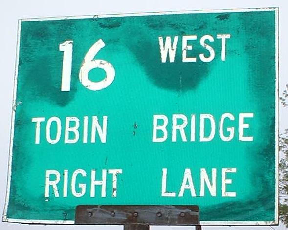
This is the northern end of the MA 145 loop, and the eastern end of MA 16 is just ahead (to go from MA 1A NB to MA 16 WB, just make a left here and another left). Clearly, there is old signage here...
...but did you expect it to be THIS old? Yup, this predates the movement of US 1 northward onto the Northeast Expressway, meaning it's at least 30 years old by now - and looks it. Well, at least the EB sign (the first one) looks old enough - the second might have been an MDC or similarly misguided replacement for an original.
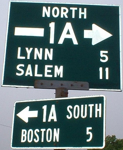
SB at the beginning of WB MA 16, a N-S route way back in the day, which explains the signs on MA 2 and US 3 in Cambridge.
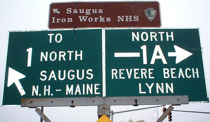
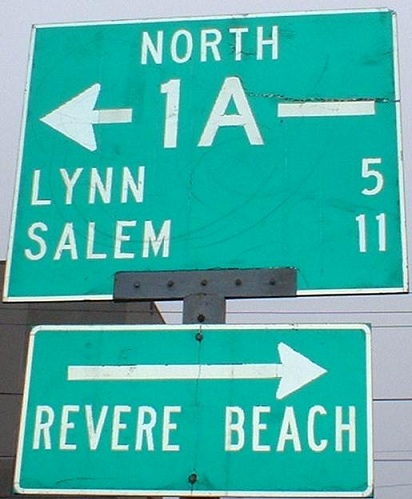
Yeah, you'd better slow down entering this intersection. To the extreme right is entering MA 16 EB traffic. Next to that is 1A NB, splitting into 1A and MA 60 WB. When US 1 followed MA 1A's current path, this is where it diverged, at a rotary that had the US 1 through path splitting it (now the 1A-60 movement). MA 1A began here instead, right at the end of MA 16, and MA 60 followed a more northerly road straight into Revere Beach that today is no route at all. After that road met current 60/then 1, the two multiplexed to the Lynn rotary, where US 1 took over its current Jersey freeway alignment, and 60 continued as it does today. I-95 was meant to cross the two there, but today it's part of US 1, which turns the rotary into a simple four-way intersection, two directions of which are just on/off ramps for US 1.
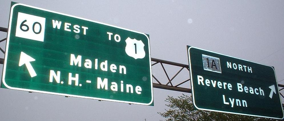
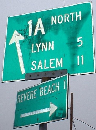
NB traffic gets these three goodies, including the only overhead of the circle (probably because MA 16 traffic needs to see it). While MA 1A NB traffic to MA 60 WB can proceed as I described above, cutting through the heart of the circle (the second sign), MA 16 EB traffic to 60 needs to go around the north side of the circle.
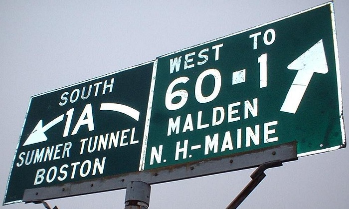
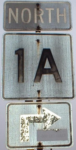
The only old SB sign, entering the rotary (as SB traffic must do to get anywhere). Curiously, the 1A and curved arrow look shinier than the rest of the signage, but the TO above the 1 looked to be the same age as the other lettering. If the 1A LGS had in fact been for 1 long ago, the 60 LGS should also have been.
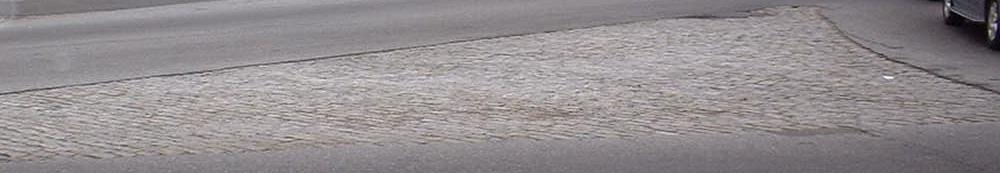
Cobblestone gores, you know I love them, but to see them in a circle is extra-special. This particular one is where MA 1A SB diverges.
This is NB on the short undivided section of MA 1A just north of the rotary. The divided highway followed MA 60 through the circle instead.
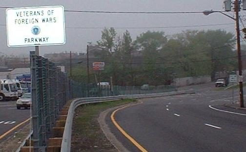
The divided highway begins again here, at the second VFW Parkway in the Boston area (the first is former US 1 south of the city).
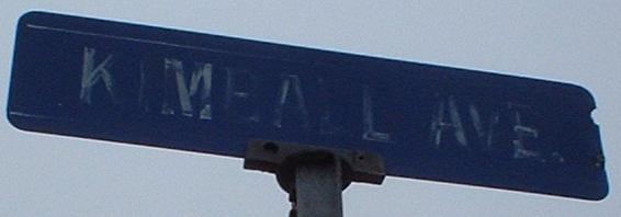
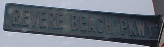
All along the VFW Parkway, and probably in toward the center of Revere Beach as well, are these seemingly hand-painted, badly faded blue street signs.
Yet another rotary, just north of the Wonderland area and just south of the Wonderland T station (the northern terminus of the Blue Line).
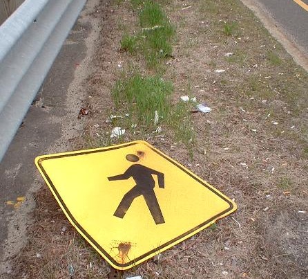
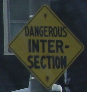
Why hasn't anyone reported this hit and run?! A man is lying in the median and he's clearly been knocked down by a car - or worse, a truck!
 Take care when MA 129 EB departs MA 1A NB in Lynn.
 SB leaving Salem.
Continue south on MA 1A
Continue north on MA 1A
Back to MA 1A main page
Onto US 1
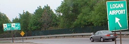
To Logan Airport
Onto MA 145
Onto MA 16
Onto MA 60
Back to Massachusetts Roads
Back to Roads