Massachusetts Roads - I-95 Lynn Stub
Lynn Stub: Proposed I-95
There are three bits of walkable roadway that were once I-95; this and Peabody are the two that were never open to traffic. The backstory to this part is at the top of the I-95 page (link below), so all you need to know here is that this stub branches off of US 1 at the MA 60 rotary, petering out before the wetlands, fully graded while it exists but mostly unpaved save bridge decks and a bit of the SB roadway.
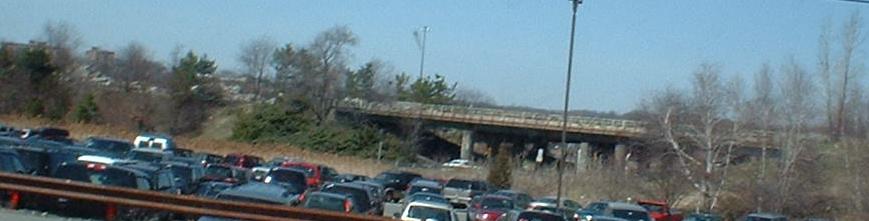
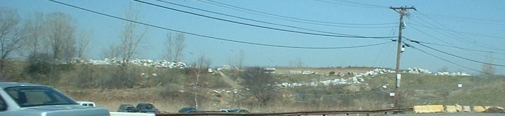
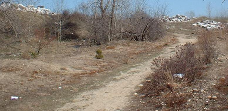
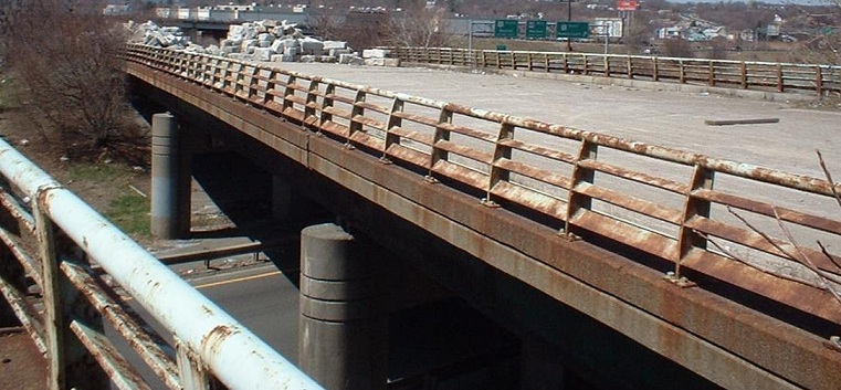
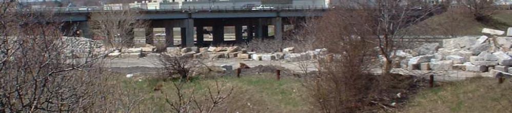
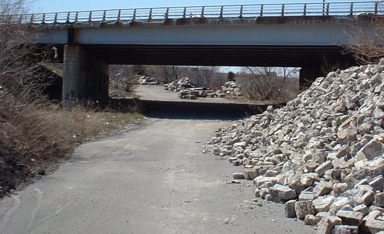
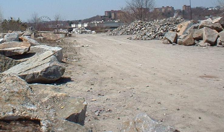
Far shots of most of the right of way; the bridges are intact, and the rest of the roadway is used to store roadway rubble.
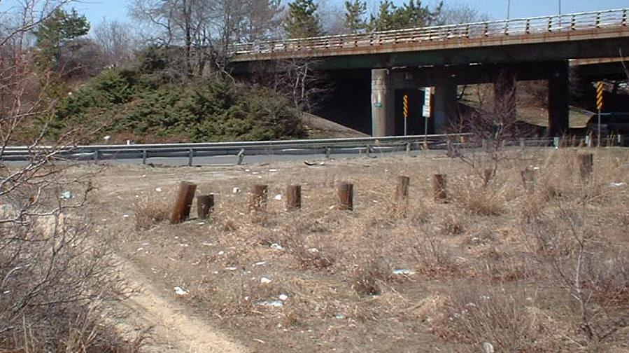
The onramp from the rotary to what would have been I-95 NB.
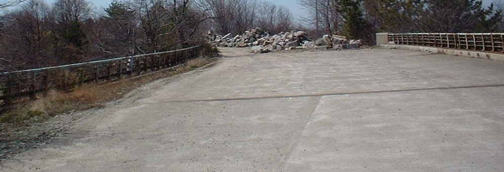
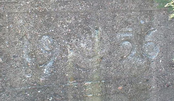
The NB bridge over the rotary, including the date of creation in 1956. US 1 and I-95 both fly over the rotary; after flying over MA 60, I-95 SB would have ducked underneath US 1 in the middle of the rotary, to come up the other side and start the multiplex into Boston. The only direct movements would have been NB-NB and SB-SB.
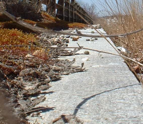
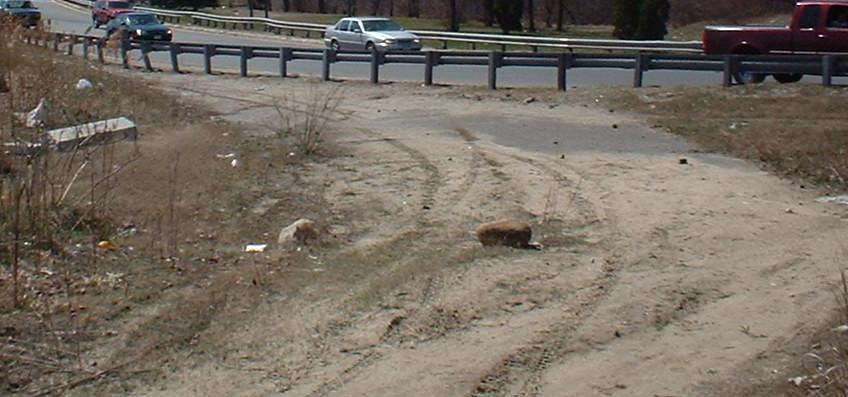
Now on the SB side, including a look at the still-pristine granite curb and a shot of the SB offramp to the rotary from ground level.
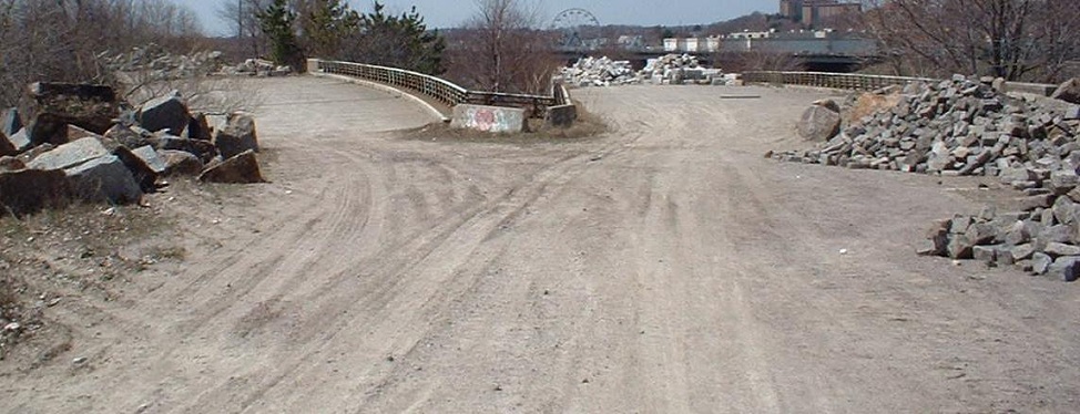
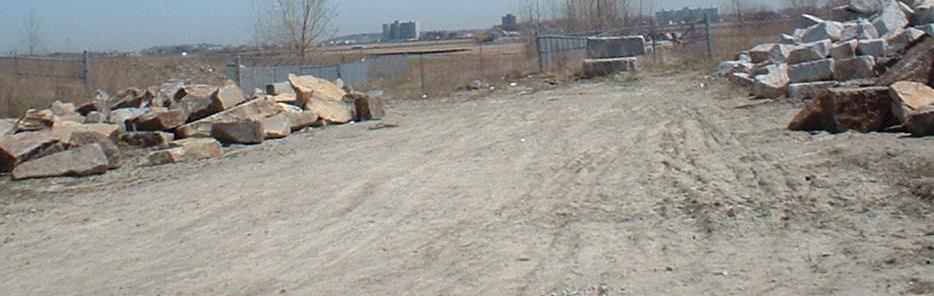
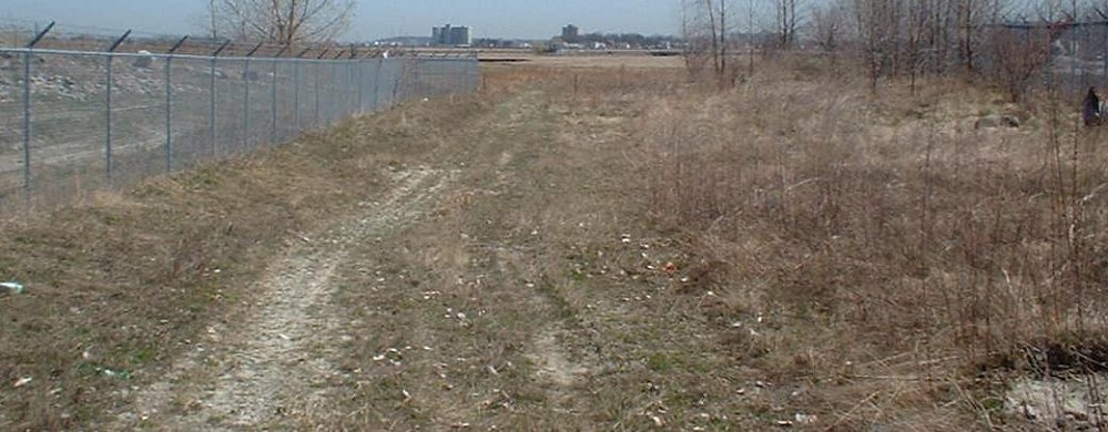
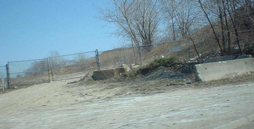
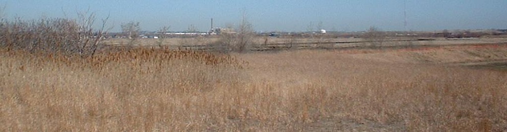
After the two bridges come together, there is but one I-95 roadway (it would have been four lanes, as the six lanes of US 1/I-95 would have split evenly between the two). After a fence, the graded dirt fades into graded grass, and arbitrary fencing runs down the middle of the right of way. After a short distance, the grade curves gently to the north and fades down into the ground, burying the ill-fated I-95 with it:
Back to I-95 main page
Onto US 1
Onto MA 60
See more of Essex County
The Northeast Expwy. on Steve Anderson's bostonroads.com
Back to Massachusetts Roads
Back to Roads