Indiana Roads - I-69 - S. of Indy
I-69 south of Indianapolis
All photos were taken in July of 2012 until the very end. The road opened well north of Evansville as of 2013.
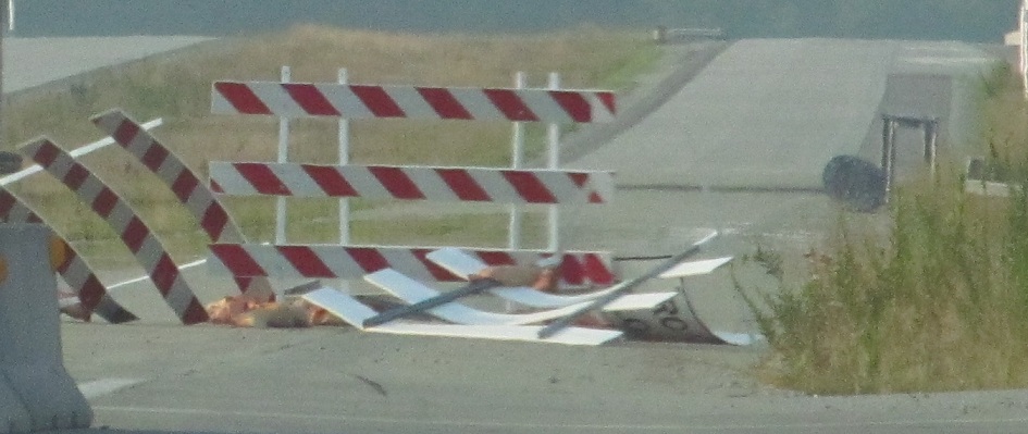
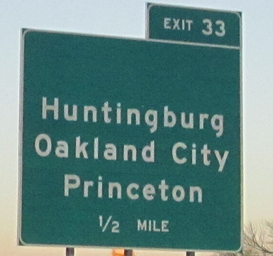
This is now Exit 22, and continues the exit numbering progression from I-164, so why not just sign it from the start? (Maybe because Indiana had yet to renumber existing Exit 22 north of Indianapolis to Exit 222. Adding 200 is a lot easier than predicting the mileage and adding about 183, throwing all of the current numbers out of whack.) I wonder what was wrong with the advance signs that they already have panels tacked on underneath. Maybe that's for "Next Exit"? There's no reason to sign I-69 in 2012 before it's open past the first exit; this is why we have black plastic bags.
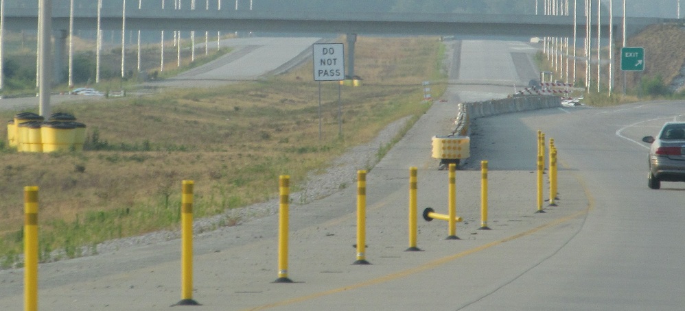
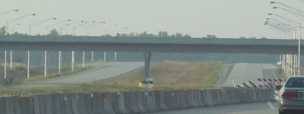
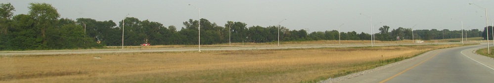
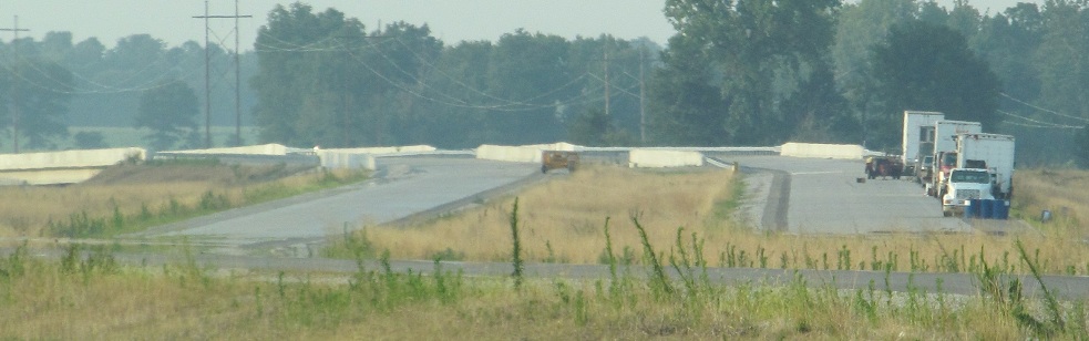
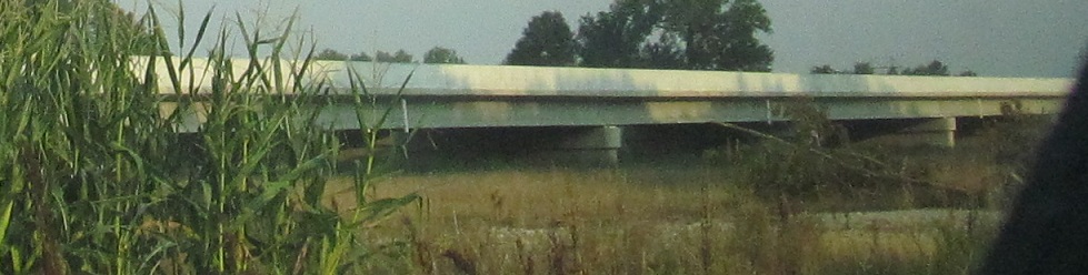
The future roadway and NB onramp beyond where traffic is currently (as of 2012, not as of the time you read this) forced off.
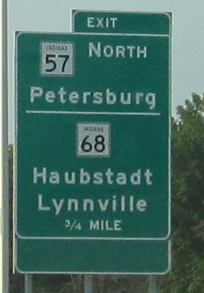
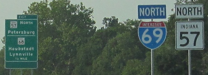
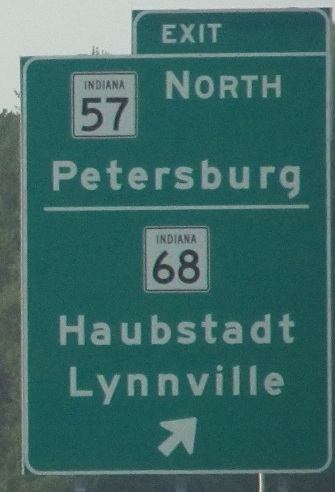
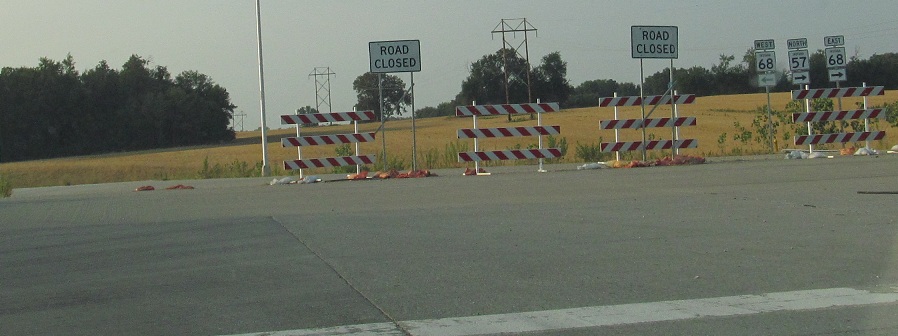
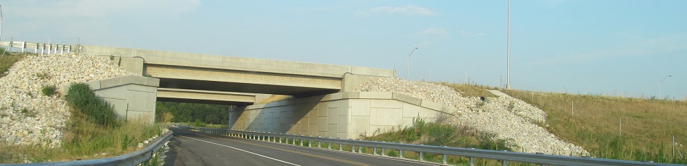
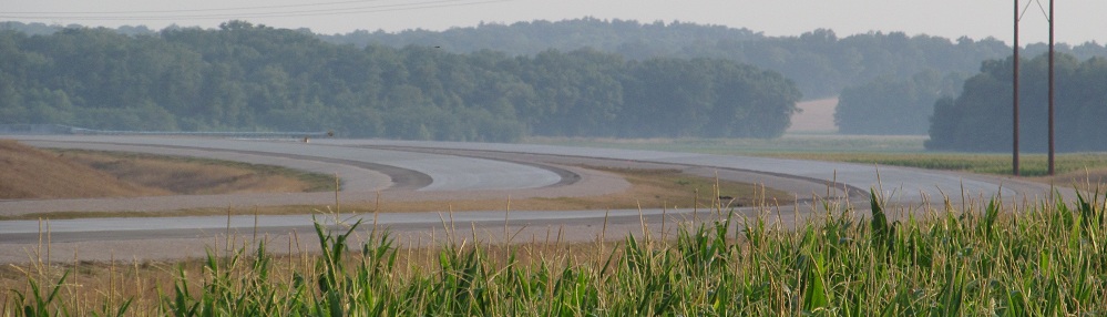
SR 57 SB turns off SR 68 WB and ghost merges with the beginning (and nearly the end) of the southern segment of I-69 SB.
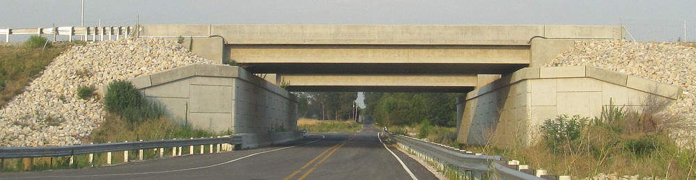
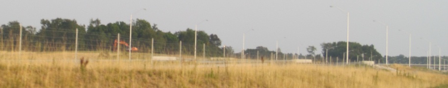
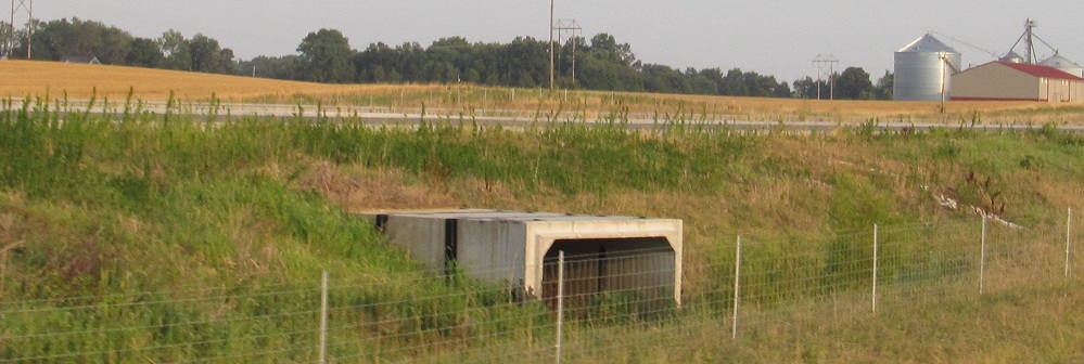
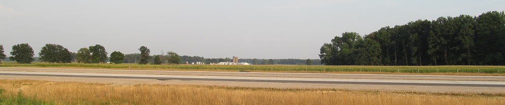
The first crossroad to the north, County Rd. 1050 S, looking east.
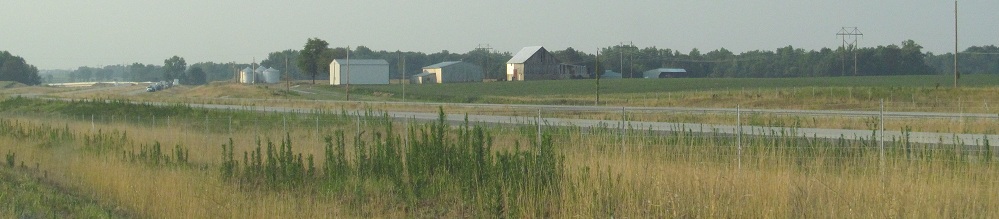
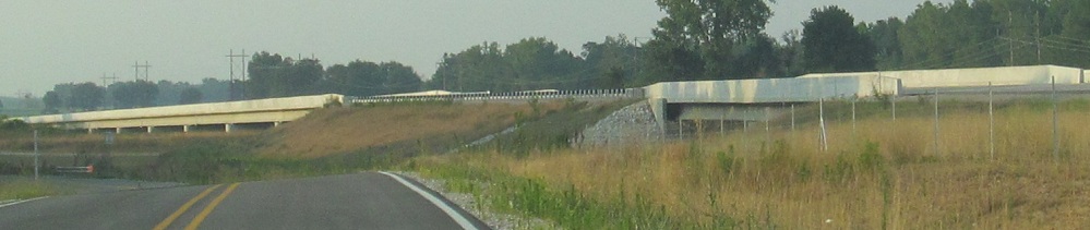
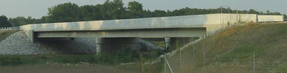
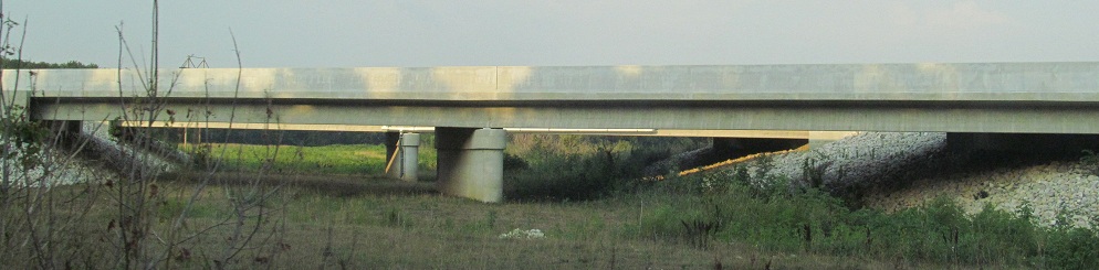
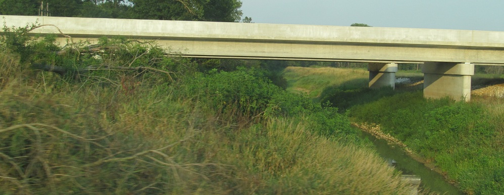
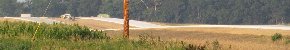
Driving north up the west frontage road from there. All views have I-69 to the east, so that will tell you whether I'm facing north or south. (In the first photo, you can see the SR 68 overpass in the background and the Rd. 1050 S underpass in the middle, for reference.)
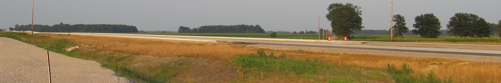
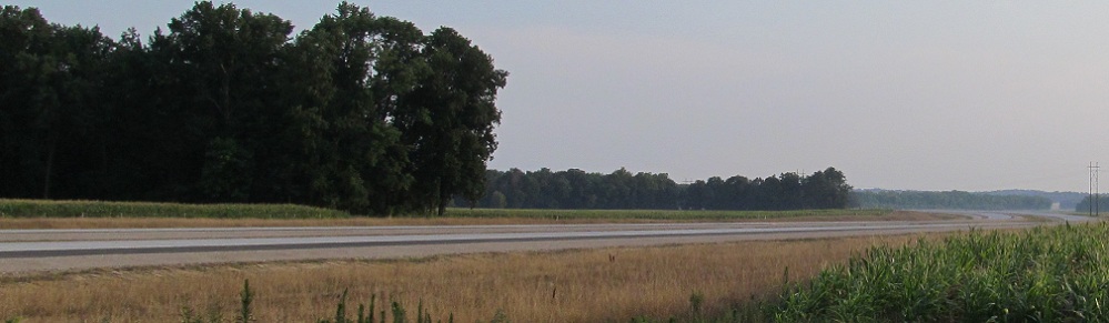
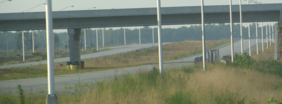
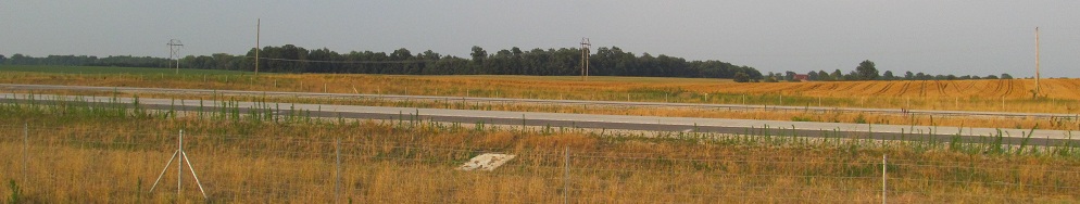
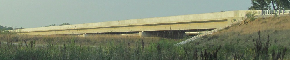
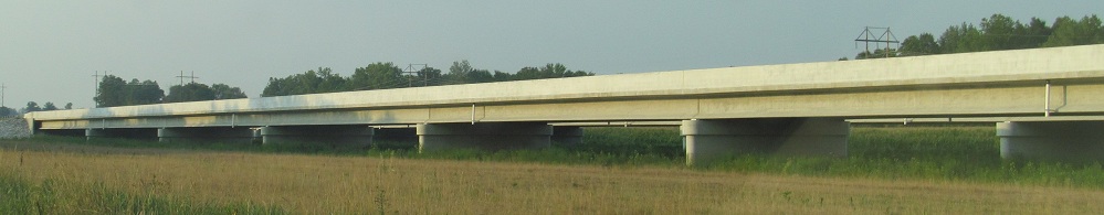
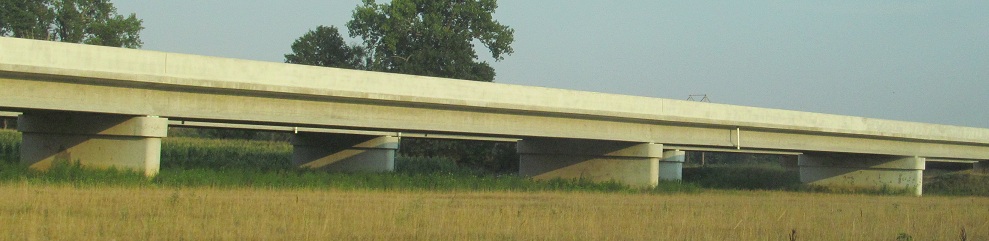
There's a temporary construction access at the newly dead-ended County Rd. 825 S, just north of the first significant curve on future I-69, so I stop there and take a panorama from north to south. All in all, I've only made it 5 miles from SR 68, but I'm also running out of daylight.
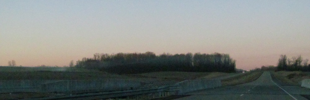

SB on the new section in 2014. Despite its age, the sign has already lost its SR 64 shield. SR 64 parallels I-64 a few miles to the north, which seems like a bad idea for wayfinding.
Onto SR 68 for more construction photos
Continue south on I-164
Back to Indiana Roads
Back to Roads