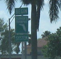
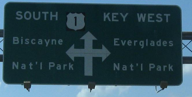
Florida City has three interesting SB signs in a row. For starters, see the beginning of the southernmost freeway in the (mainland) United States, the Homestead Extension of Florida's Turnpike. Then see an old overhead sign with a black-background shield and huge arrows. Those huge arrows are for the highest-numbered Florida state highway, now Everglades access. Can anyone tell me why it's not just FL 906 (the original route number west of FL 997, which was once 27)?
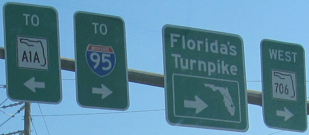
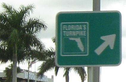
The northbound direction is just as interesting. The BGS's are the first style to debut in Florida after button copy, where the exit arrow is conspicuously separated from the rest of the sign legend. The Florida's Turnpike shields are also an older style.
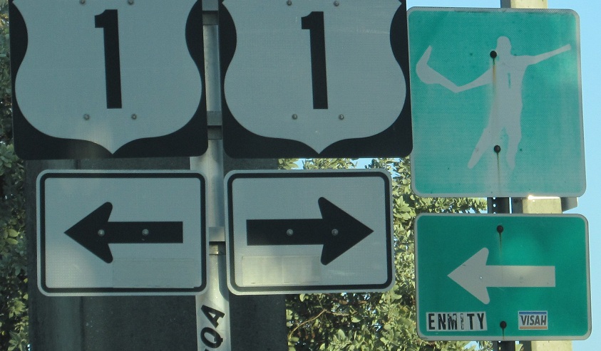
Old SB sign approaching FL 953, 42nd Ave./Le Jeune Rd. I don't think the road warrants two designations at once.
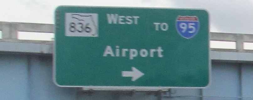
SB in 1975 courtesy Michael Summa, Biscayne Blvd. in Miami approaching the MacArthur Causeway (US 41, FL A1A, and I-395 to FL 836).
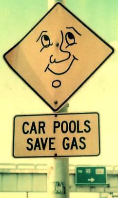
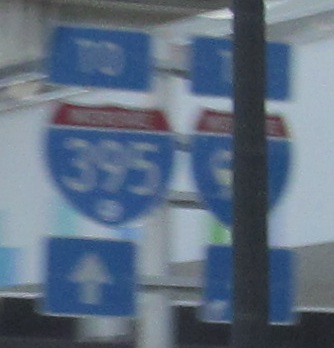
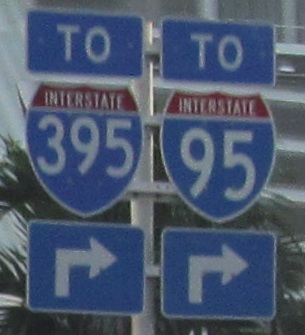
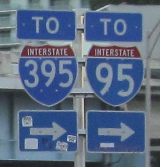
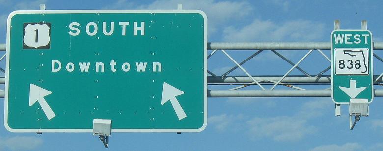
SB in modern times, the cool carpool sign is gone, and the overhead sign has changed from correct to wrong. 12th St. is correctly signed as leading to I-95 and FL 836, because the onramp joins I-395 before its interchange with those routes (395 becoming 836). As short as it is, I-395 may as well not exist if it's going to be signed as FL 836.
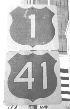
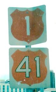
Biscayne Blvd. SB and Brickell Ave. NB in Miami, respectively, again courtesy Michael Summa and taken in 1973 and 1983. The 1973 photo predates when Michael had color film, and they both predate when US 41 was truncated to the end of the Tamiami Trail instead of US 41 East continuing with US 1 North to the aforementioned MacArthur Causeway into Miami Beach.
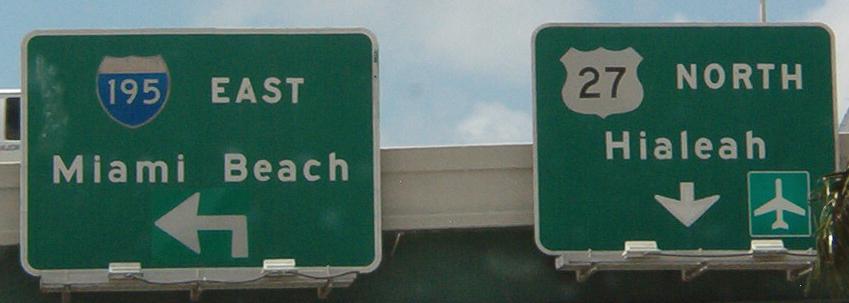
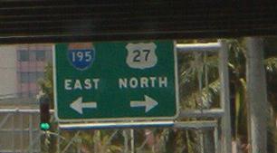
Button copy signs SB at the southern beginning of US 27, taken and submitted by Costa Ioannidis. I-195 WB was a left turn just before these signs.
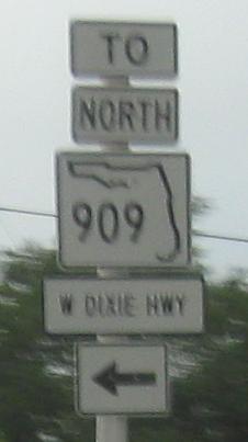
FL 909 NB at FL 915. FL 909 is part of the Dixie Highway, old US 1 before Federal Highway was built. It was cut off at this intersection to prevent a 6-way intersection - but there's still a 5-way intersection with the northeastern leg of FL 909, so this didn't do a whole lot. FL 909 heads left with 915 for two blocks, so the "TO" is unneeded. And the "DIXIE HWY." is non-standard.
NB up to FL 820 at Young Circle. It flows very well, but circles are out of vogue nowadays what with the roundabout craze. A roundabout would not work on US 1.
Only Floridians would have seen this FL 848 EB sign before, as it's a custom FDOT symbol. It's not an oversized baseball hat, it's a xistera, and this is for a jai alai fronton.
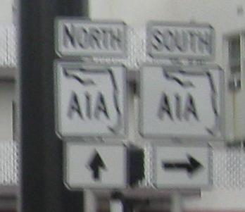
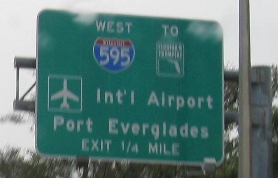
More NB signs, including a rare signed multiplex with FL A1A at Dania Beach Blvd. Most other multiplexes are implied and not even legislated, so I'll forgive that FDOT posted two shields of different widths right next to each other. The I-595 shield is one of the hated bubble variety.
More button copy from Costa Ioannidis, southbound at FL 818 in Dania Beach (basically opposite the NB I-595 sign).
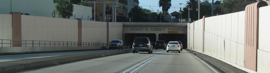
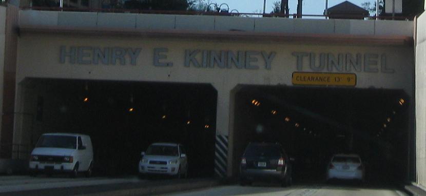
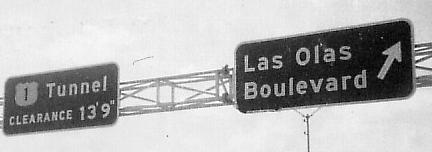
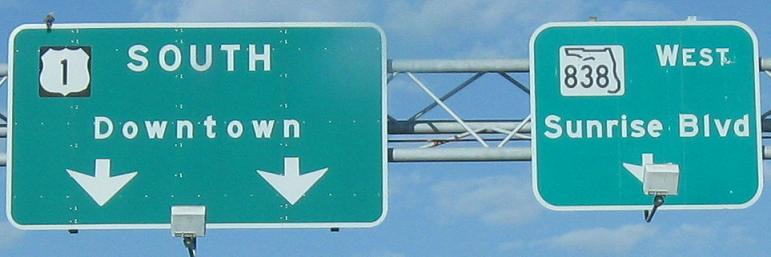
Southbound through the Kinney Tunnel in Fort Lauderdale, under the New River and Las Olas Boulevard. This is the only tunnel in Florida - for some reason, US 1 is too good to simply take a bridge over the inlet. Click the last "photo" to watch a video under the river.
Taken southbound in 1973 at the tunnel by Michael Summa.
US 1 brings down some New Jersey style.
Northbound in Pompano Beach in 1975, courtesy Michael Summa.
The oldest photo on the US 1 pages (and another one from Michael Summa), taken in 1971 southbound at FL 814. That's to FL A1A, not the actual route.
Modern SB signage at FL 814 does not measure up at all.
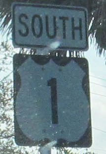
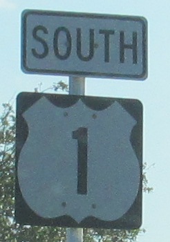
These shields are so ugly, I can't even put them at the top of the page. No one would recognize this as US 1.
SB past US 98 (second photo) to FL 802 (third photo), and then somewhere 16 minutes south (could be about 3 miles, given late afternoon weekday traffic). Those outline shields are reminiscent of old button copy designs.
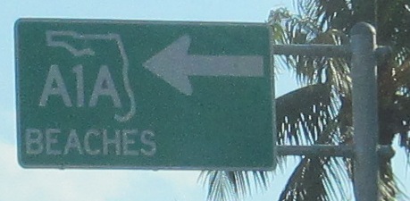
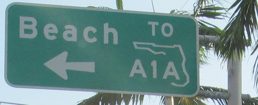
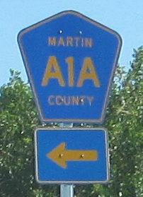
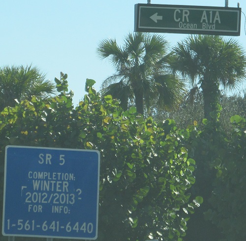
Everyone knows A1A as the Florida highway that's even slower than US 1, but actually not all of it is state-maintained. The first sign is south of Hobe Sound at the southern end of the Dixie Highway segment of A1A, pointing back north, and the second is at Ocean Blvd. in Jupiter (Palm Beach County), also SB. SR 5 is the secret highway that follows US 1 from top to bottom, but apparently it's not always a secret. Florida's delays also aren't always a secret thanks to a poor patch job.
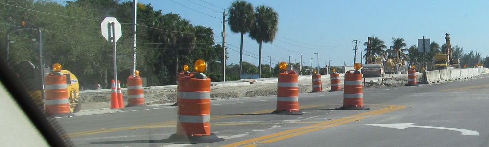
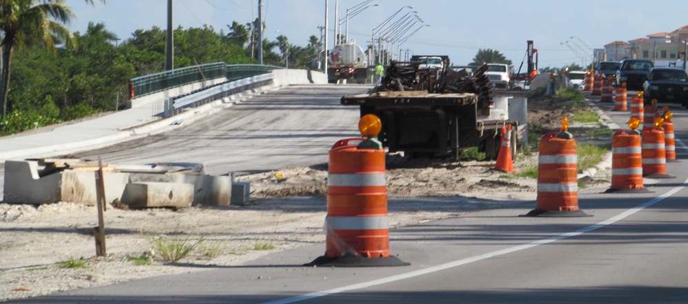
I guess December 2012 was too ambitious for this bridge construction.
 Northbound in Pompano Beach in 1975, courtesy Michael Summa.
 Modern SB signage at FL 814 does not measure up at all.