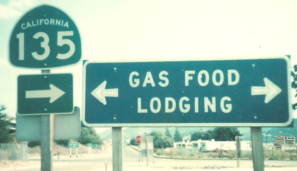
California Roads - US 101 - Santa Maria-Sunnyvale
US 101, Santa Maria to Sunnyvale
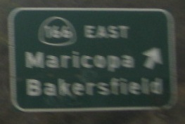
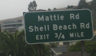
The first photo is at the bottom of what is now Exit 173. Both are courtesy Michael Summa and southbound, and date to 1976.
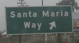
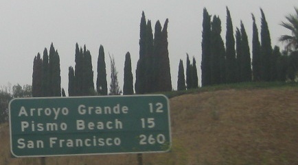
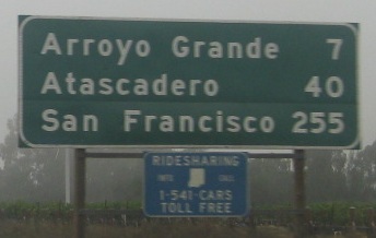
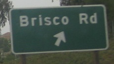
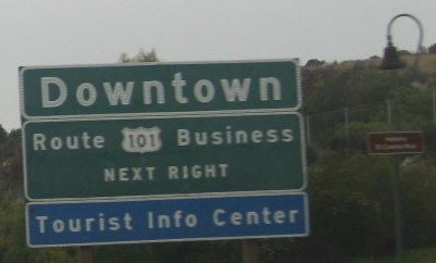
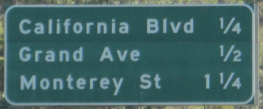
Courtesy Lou Corsaro and northbound, Santa Maria Way is old US 101 in Santa Maria. Why would the middle destination change between two consecutive distance signs? Why is there no area code on the ridesharing sign? There are enough new area codes floating around California that even given the sign's obviously local audience, it ought to be shown. (Except that the MUTCD now prohibits phone numbers from being shown on roadway signs. Whatever is Caltrans to do?)

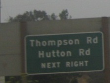
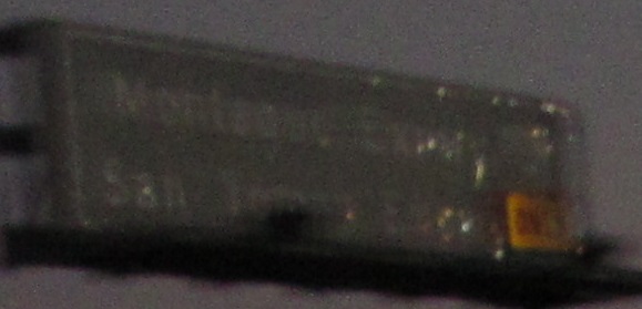
Continuing NB with Lou's photos, obviously Route 101 Business is old US 101. This alignment (Exit 190) is El Camino Real in Bell. In general, anything named El Camino Real is old 101, although more precisely, US 101 was originally designated along the trail already known as El Camino Real for well over a century. There's a fairly good chance Thompson Rd. (Exit 182) is also part of old 101.
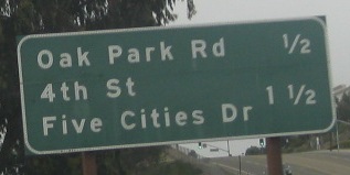
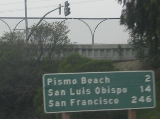
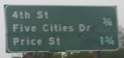
From the first three NB signs (courtesy Lou Corsaro) to the last two signs (my own photos) is a gap of about 12 miles. This gap is taken up by the CA 1 concurrency, which you can see by clicking on the big link at bottom.
The next 6 photos are once again courtesy Michael Summa, and once again date from 1976.
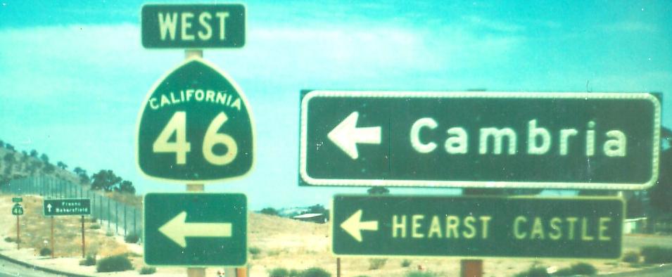
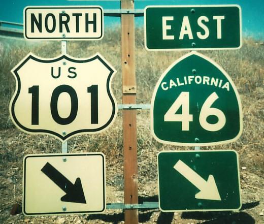
At the top of the NB ramp to CA 46, and then EB on CA 46 where it joins US 101 NB.
Sanborn Rd. WB at the Monterey interchange in Salinas (now Exit 326C).
In the foreground, California's old-style cutout sign, fashionable even in 1976. In the background, the right BGS is for Sanborn Rd.
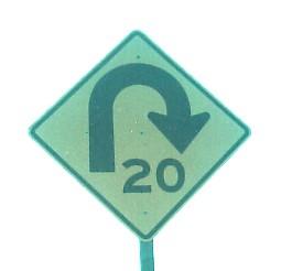
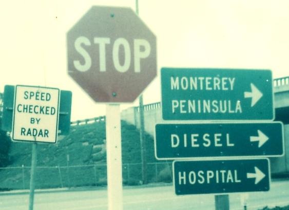
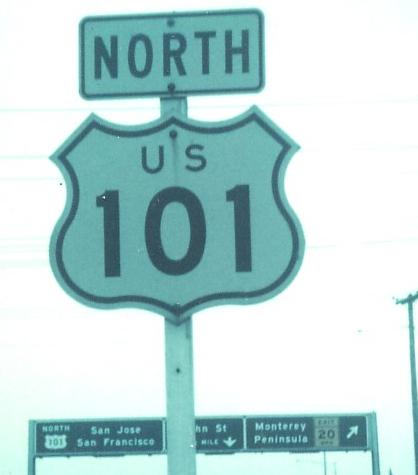
If you took that exit in 1976, you would first come to the hairpin sign, and then these other signs at the bottom of the ramp.
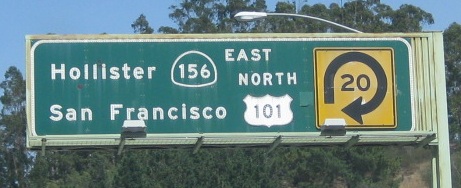
Lou returns to US 101 on CA 156 EB.
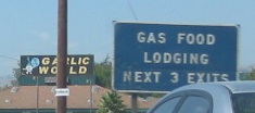
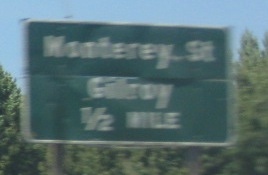
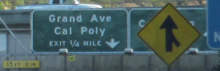
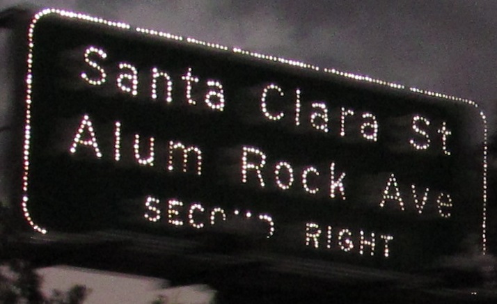
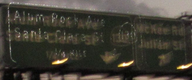
NB through Gilroy, courtesy Lou Corsaro.
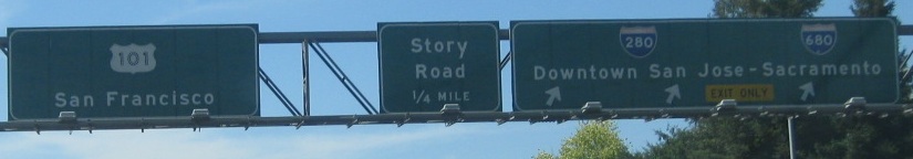
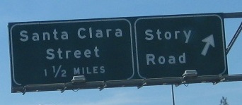
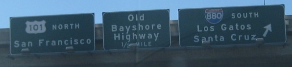
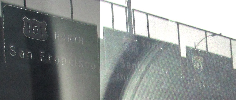
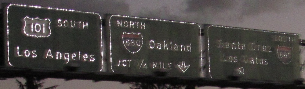
Up to the Bayshore Freeway in San Jose, still heading north, courtesy Lou Corsaro. I-280 and I-680 end at each other here, forming a full loop in conjunction with I-80 around the entire bay. (I-880 forms a somewhat more succinct loop.) The newer interchange overlaid the Story Rd. interchange, which became Exit 385. Based on the location of milepost 385, though, Caltrans numbered the northbound 280/680 exit as 384, but the southbound exit as 385B! (That makes Story Rd. Exit 385A when traveling southbound, instead of 385.) This violates the principle that exits in both directions should have the same numbers, but Caltrans is only very grudgingly using exit numbers in the first place. The southern ramps of the stack (101 NB offramp, 101 SB onramp) fly over the Story Rd. cloverleaf with no connection between the two interchanges.
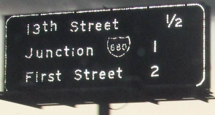
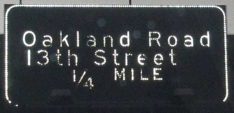
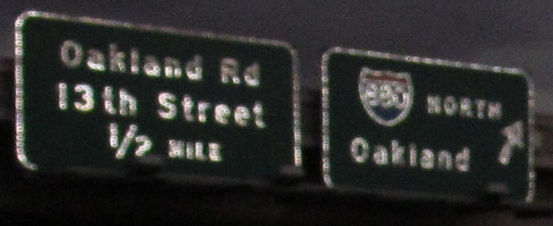
13th St. was always on the advance sign in the 3rd photo, which makes the crammed alignment in the 4th photo all the more unusual. (I-880 was not, as it began life as CA 17.) CA was generally consistent in how it signed its exits from sign to sign.
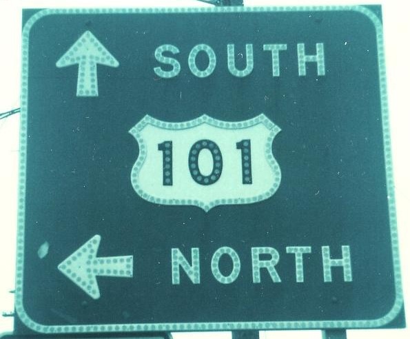
Two more from Lou, and the one I took at night that shows why I still have both of his here. I drove US 101 twice in 3 days, both times northbound, both times at sundown.
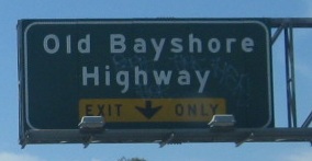
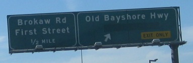
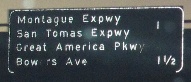
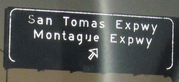
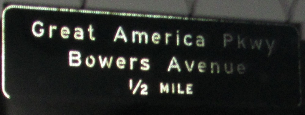
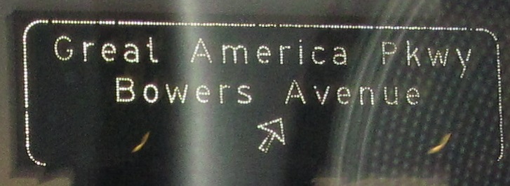
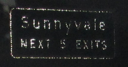
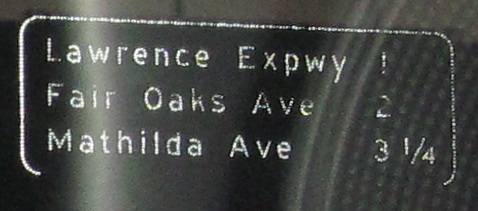
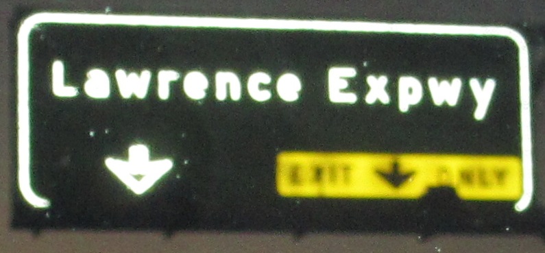
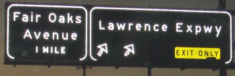
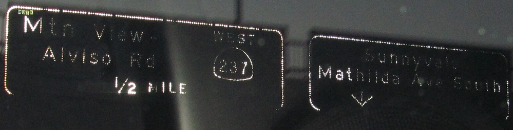
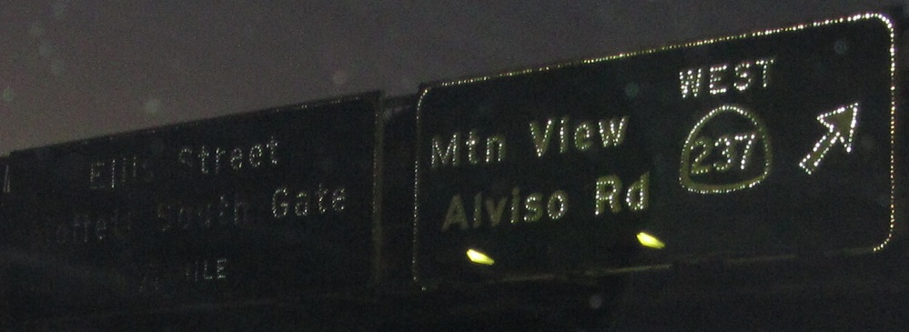
Finishing the NB run through Sunnyvale, the first two photos are Lou's and the rest are my own. The loop ramp to Mathilda Ave. has been removed now, so there is no South exit.
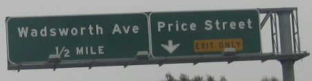
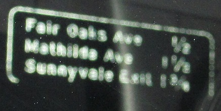
All the SB signs that came out at night. It's not easy taking reverse photos without sunlight.
US 101/CA 1, Pismo Beach-San Luis Obispo and south to Santa Barbara
Continue north on US 101
Back to the US 101 main page
Exit 384 to I-280
Exit 384 to I-680
Exit 386A to CA 130
Exits 388B-C to I-880
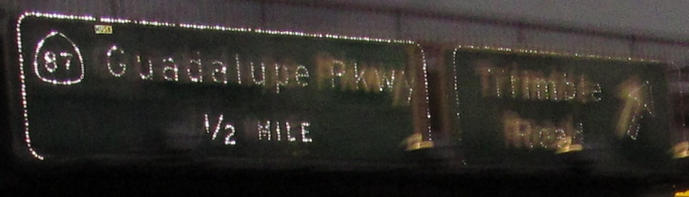
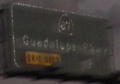
Exit 390 to CA 87
Exit 396C to CA 237
Back to California Roads
Back to Roads