California Roads - US 101/CA 1 - Santa Barbara-SLO
US 101/CA 1, Santa Barbara to San Luis Obispo
One exit north of Santa Barbara and we're already in trouble. Warning signs should be diamonds. There's a Stop Ahead sign for this very scenario; just replace the "ahead" arrow with a curve.


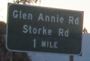
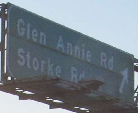
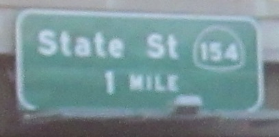
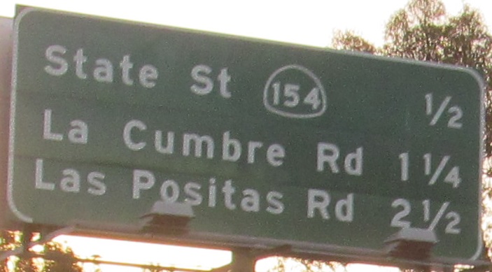
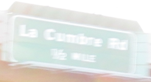
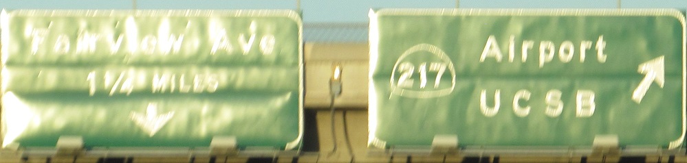
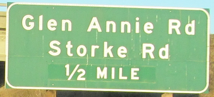
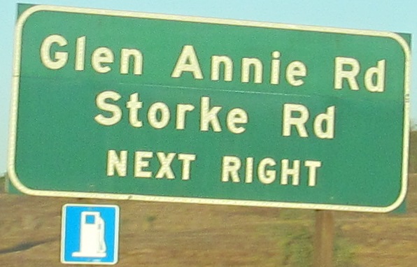
Back on the freeway, the last two photos are left and right on the same gantry.
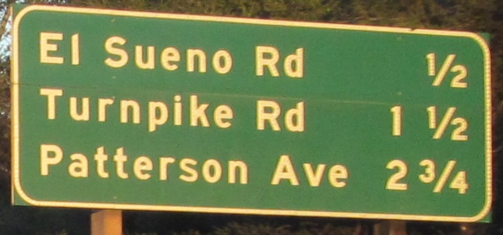
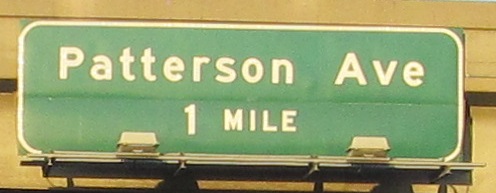
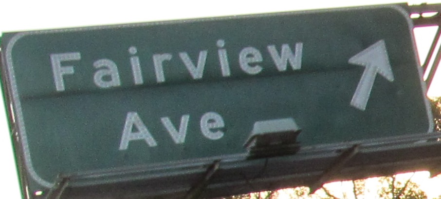
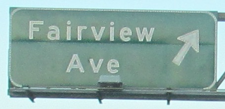
While I'm paused, this is on Patterson Ave. NB from US 101/CA 1.
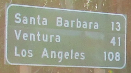
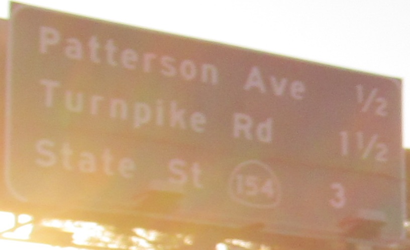
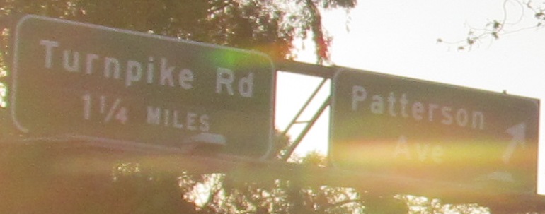
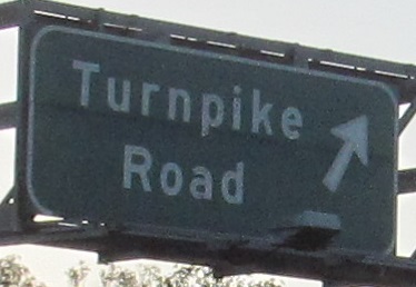
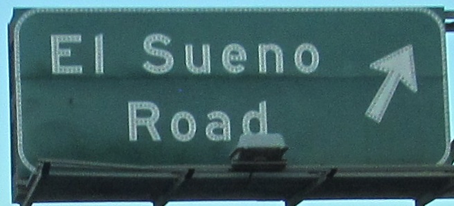
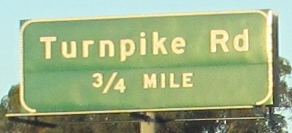
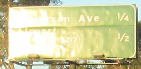
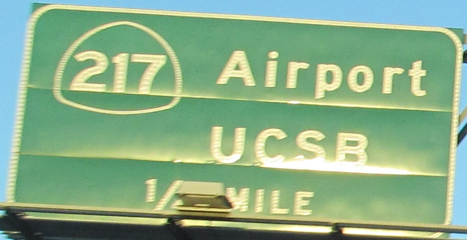
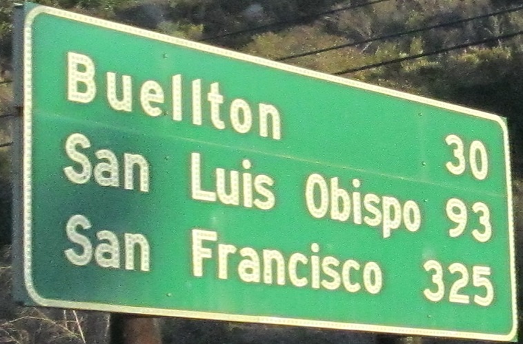
A full run of "not Santa Barbara" SB signs that I photographed, down to the city line.

Back NB again, I had to get a photo of a non-button copy "new" sign because that definitely does not look new at all.
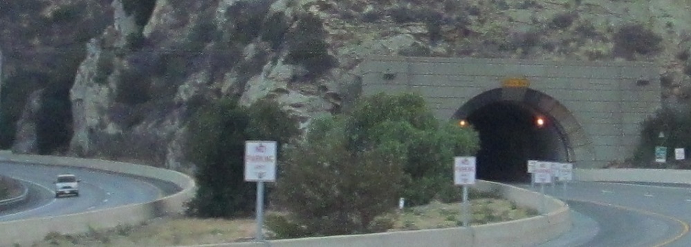
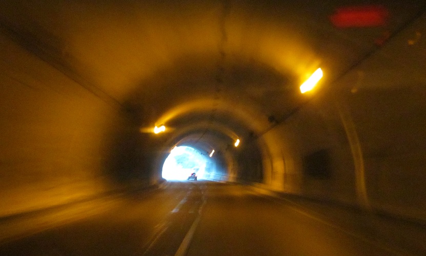
US 101/CA 1 NB goes through the Gaviota Tunnel under the Santa Ynez Mountains. The SB road follows the original route through Gaviota Pass and has no tunnel. It was decided to dig instead of blast away the mountain, which I support.
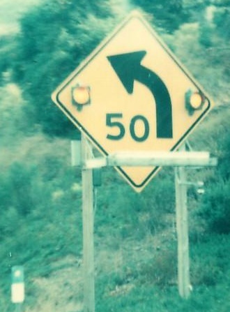
Nearing Gaviota Pass in the Las Cruces area, SB in 1976, courtesy Michael Summa. The warning speed has now dropped to 45 mph.
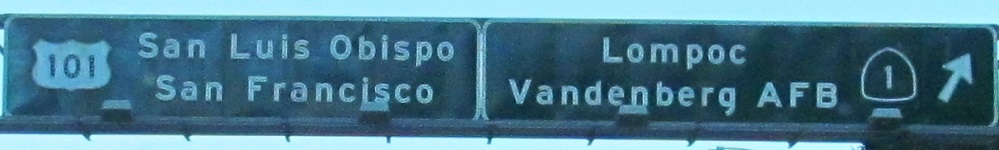
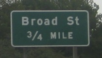
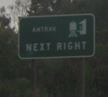
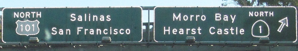
The first photo ends the concurrency in Las Cruces, but CA 1 can't help but come back again at Pismo Beach for the remaining photos.

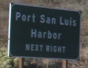
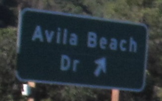
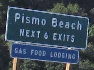
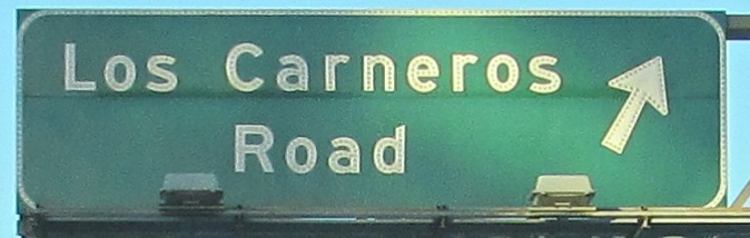
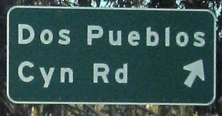
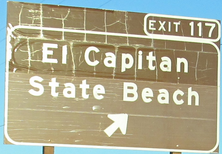
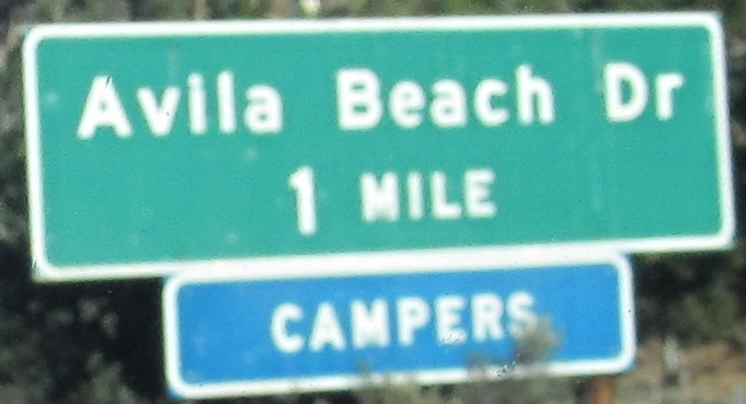
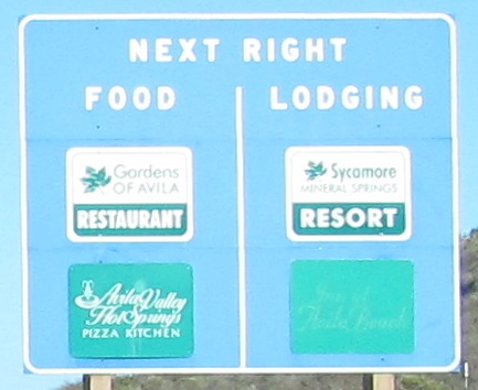
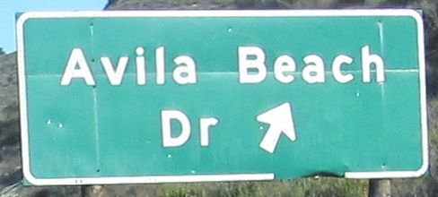
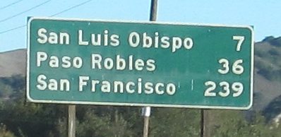
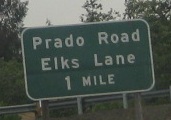
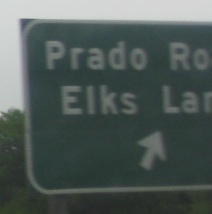
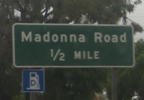
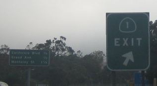
SB photos in the Pismo/SLO area.
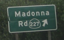
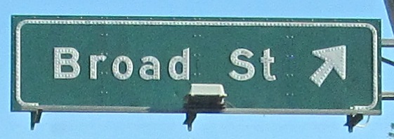
Hm, might CA 227 have been rerouted sometime after the creation of this sign? It formerly ended at Marsh and Higuera Streets in downtown San Luis Obispo, which are former CA 1/US 101. All of these are NB courtesy Lou Corsaro, replaced before I got there in 2014.
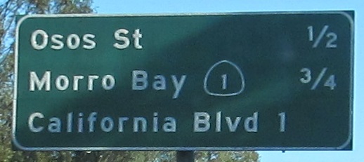
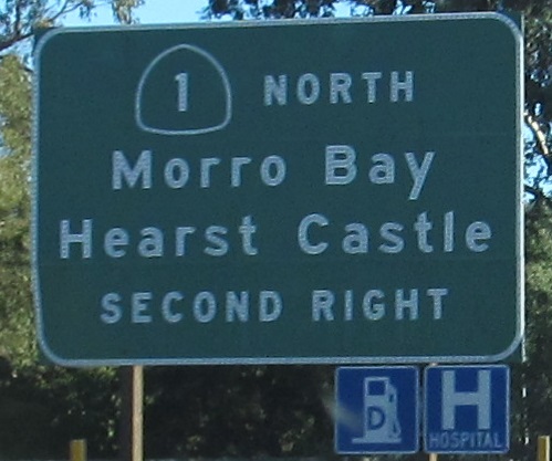
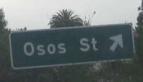
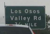
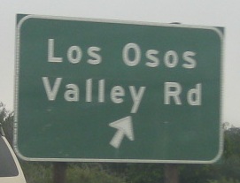
Continuing north to the end of this CA 1/US 101 concurrency. Photos #1, 4, 6, and 8 are courtesy Lou Corsaro. There are quite a lot of exits in a short distance, an obvious sign that this is an old freeway. (As if the signs didn't give it away.) Spanish lesson for the day: "Osos" means "Bears." The bear is the official state animal.
Back south on US 101/CA 1
Onto US 101 alone
Onto CA 1 alone
South into Santa Barbara
Back to California Roads
Back to Roads