California Roads - Old US 101 - L.A.-Agoura Hills
Former US 101, Los Angeles to Agoura Hills
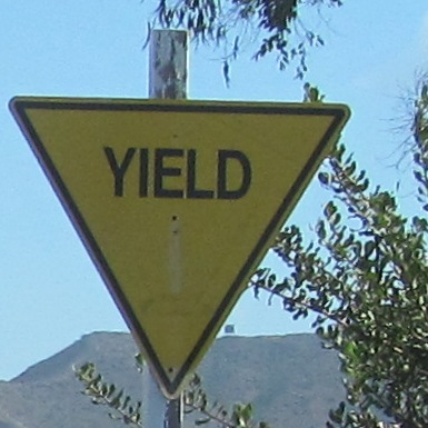
Exit to San Onofre Beach from I-5 (Exit 71) and you will find yourself on Old Pacific Highway. It crosses San Onofre Creek on this 1925 bridge, widened in 1937, and then in comes a road named El Camino Real from the other side of I-5 at this yellow yield. I know Old Pacific Hwy. was US 101, but what was El Camino Real? Well, up here, nothing at all, but farther south it was the original US 101 alignment, cut off from the later one by I-5.
Back north across the bridge into Basilone Rd. at Exit 71.
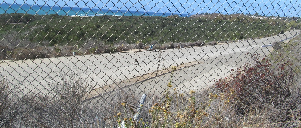
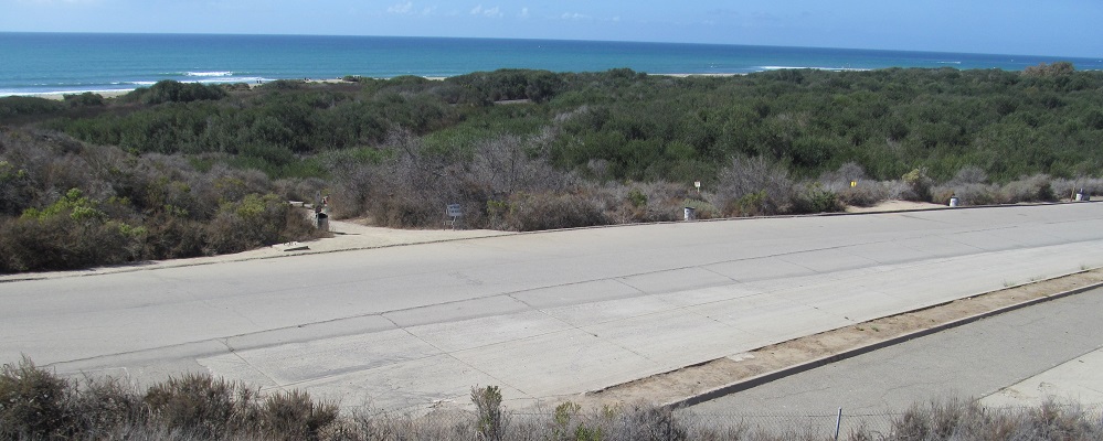
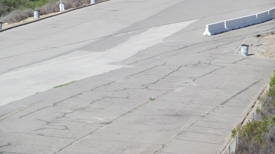
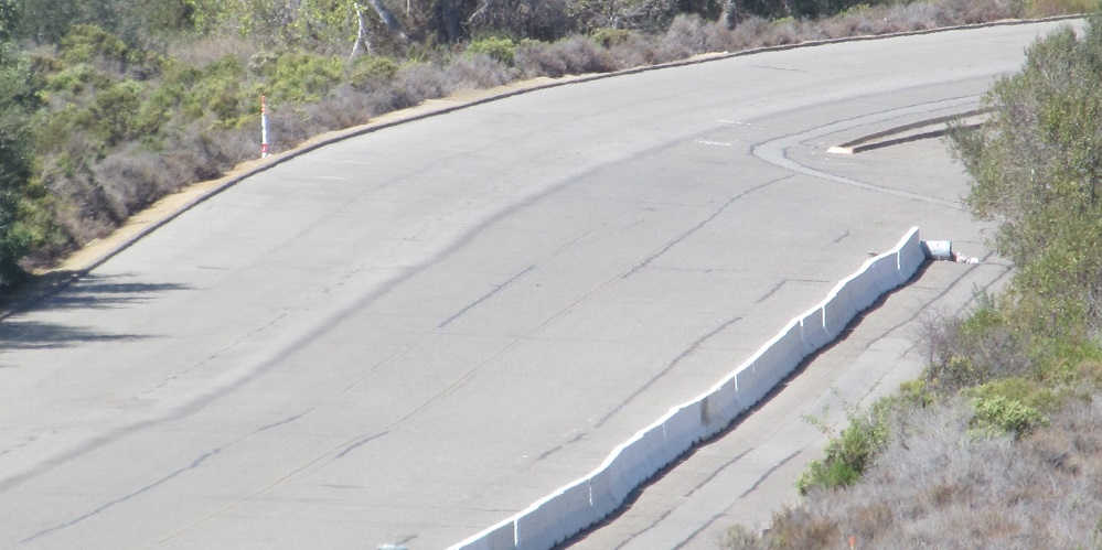
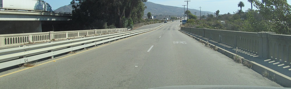
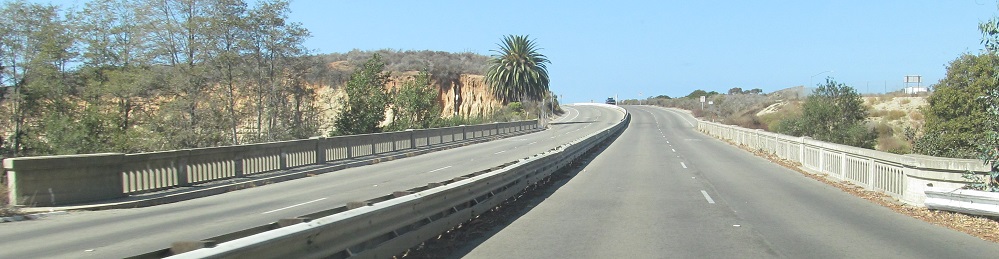
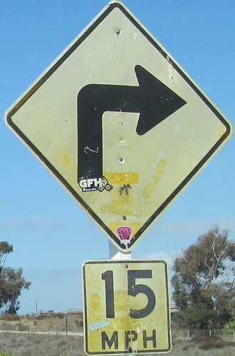
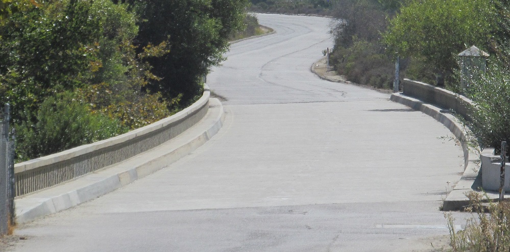
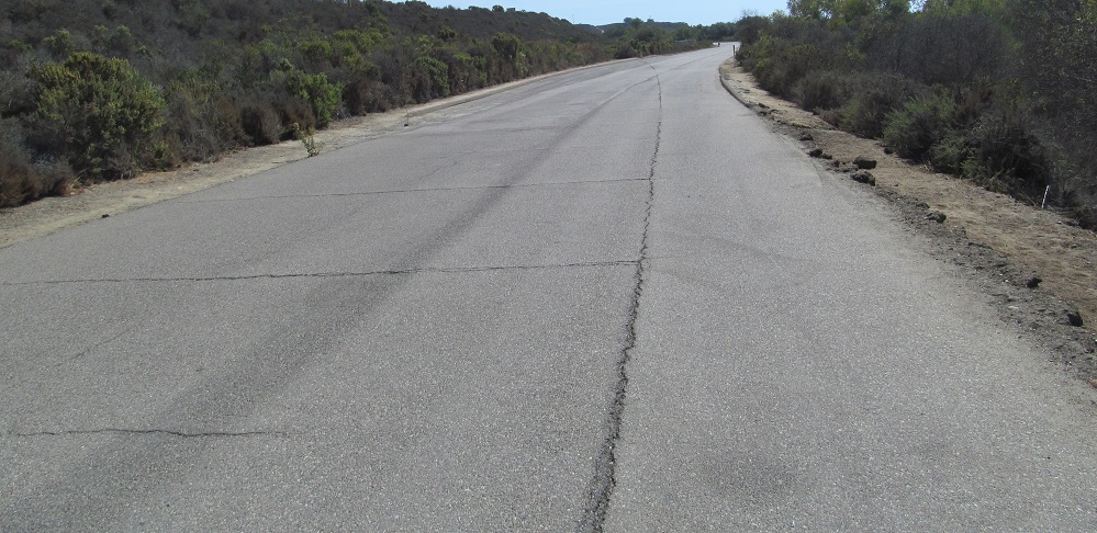
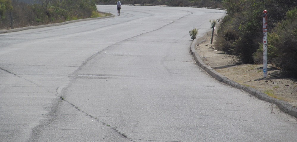
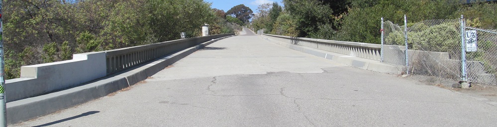
There, the intrigue intensifies. Traffic being forced to curve right at 15 MPH from a former major highway is a dead giveaway of a stub, so if you look north from that point, you will find the highway continuing north. It gets even more interesting than that, because you can the outlines of old pavement in the 3rd photo that clearly aren't following the road beyond. Until the early 1960s or so, US 101 was a four-lane highway whose old pavement curved right as shown, briefly into the alignment now used by I-5. Once I-5 construction began, US 101 had to be rerouted out of the work zone, so additional pavement was laid to the west and that's the smoother alignment that you see in the last photo. You can see that divides in the far background, and at that point it went back into what's now I-5. That's because US 101 was already a freeway north of that point, so it was just the San Onofre Beach area being newly constructed.
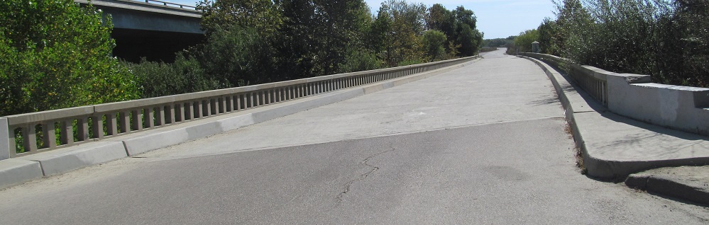
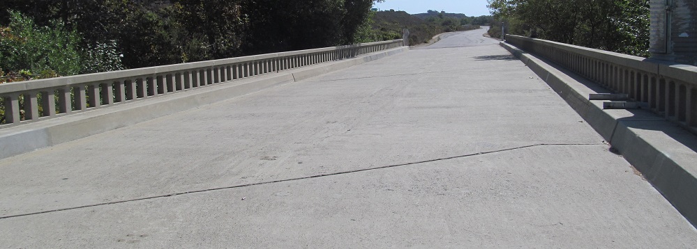
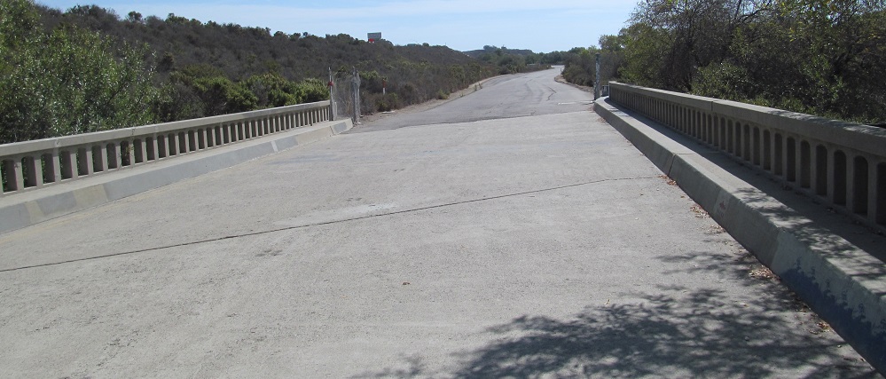
Fortunately for you, both ends of this stub are accessible! Take Exit 72, park, and walk a bit and you'll come to the north end of the 1946 bridge over San Mateo Creek. You'll again see the outlines of old pavement veer left under the new pavement, and that's where I'd mentioned that US 101 only "briefly" followed the alignment used by I-5. US 101 SB used this bridge for over 20 years, tying into I-5 to the north as a freeway and the Old Pacific Highway to the south as an expressway. Around the bend in the last photo is pretty much at the farthest viewpoint from Exit 71.
Back north across the bridge to where it's been overrun by I-5.
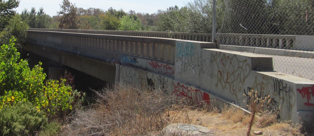
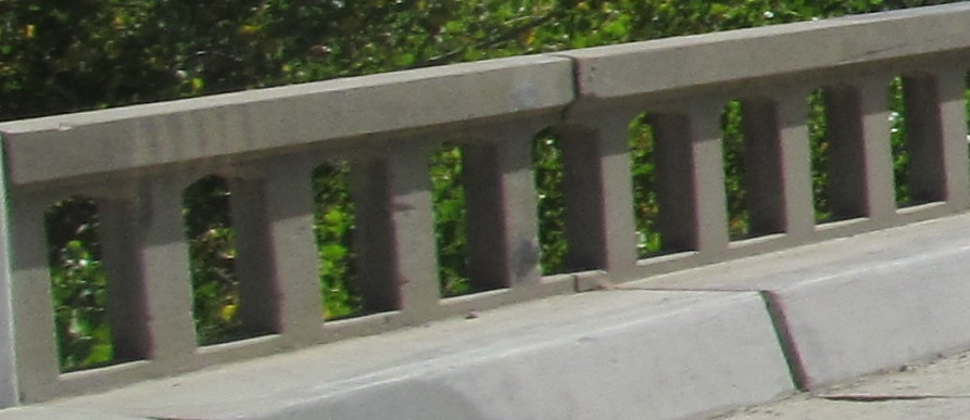
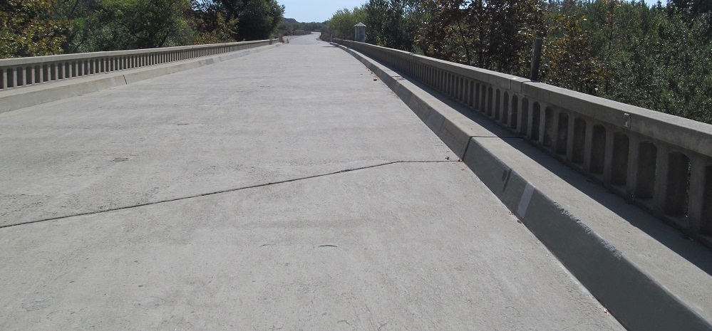
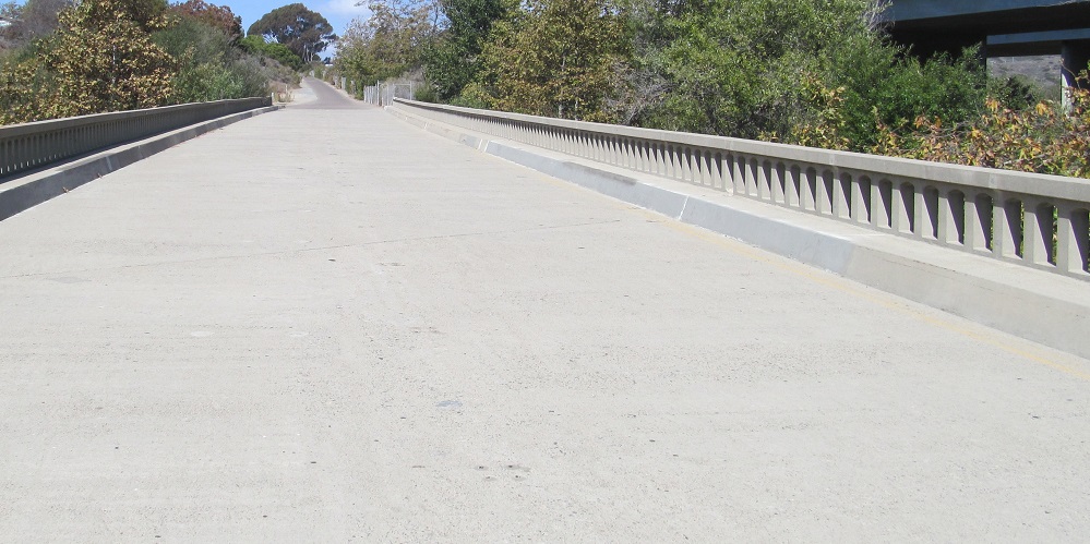
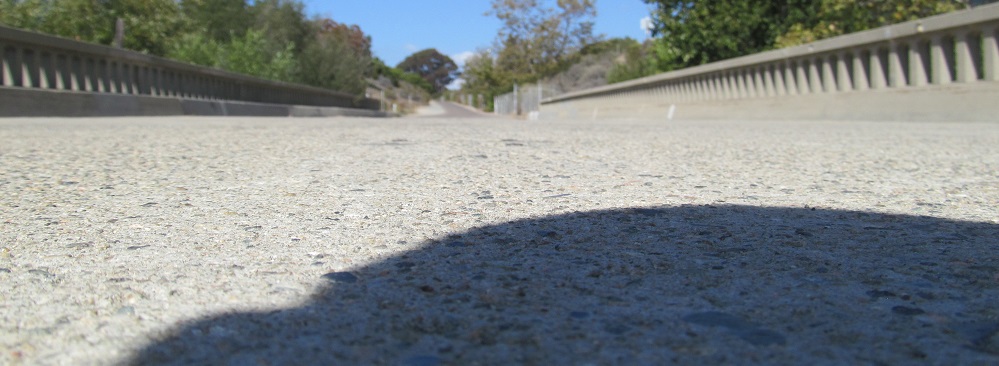
Last licks: photos looking east and southwest at the bridge.
Up next along I-5, Exit 73, and button copy on El Camino Real NB on either side of Ave. Mendocino.
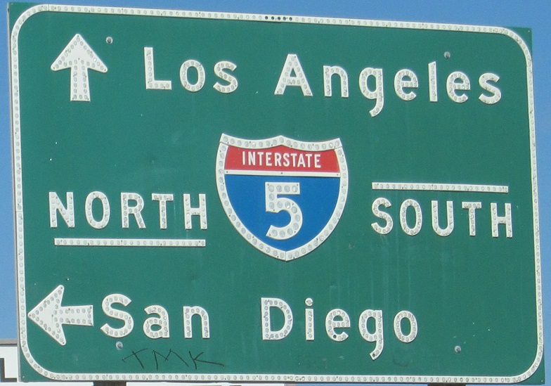
Still NB in San Clemente, this sign wants to make sure you don't go up the I-5 NB exit ramp.
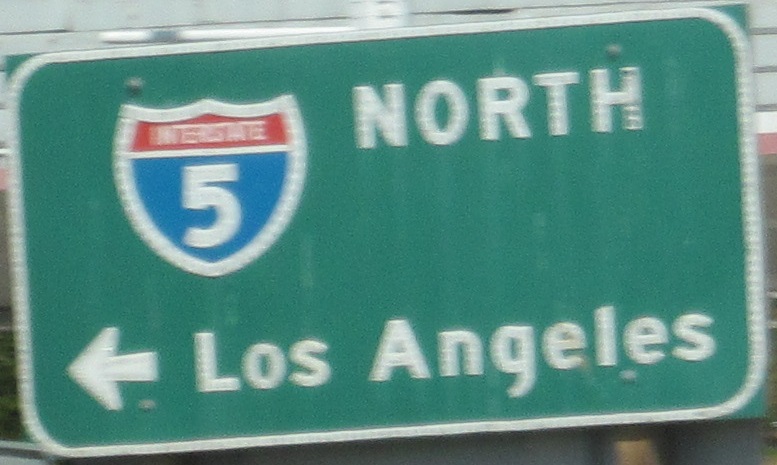
El Camino Real breaks away from I-5 for a bit, finally, and becomes Coast Hwy. It meets CA 1 just north of its southern beginning, which is why it's only signed to the NORTH here. Or north. Very unusual to see inconsistent capitalization on old button copy, which hints that it was patched over something older. The "something older" may have been Alt. US 101, the pre-1964 designation for CA 1. That seems older than this sign, so I'm not convinced it didn't just say "P C H" or similar.

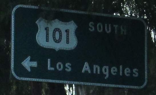
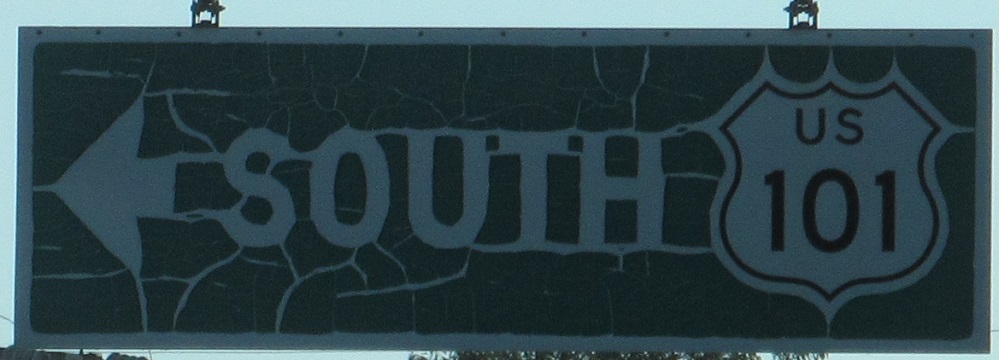
Skipping Ventura Blvd. (see big link below), Calabasas Rd. takes over as old US 101 as it leaves Los Angeles. This is at US 101 Exit 29 just inside the western extents of the city, NB and 2 photos SB. The last one is on the signal mast arm.
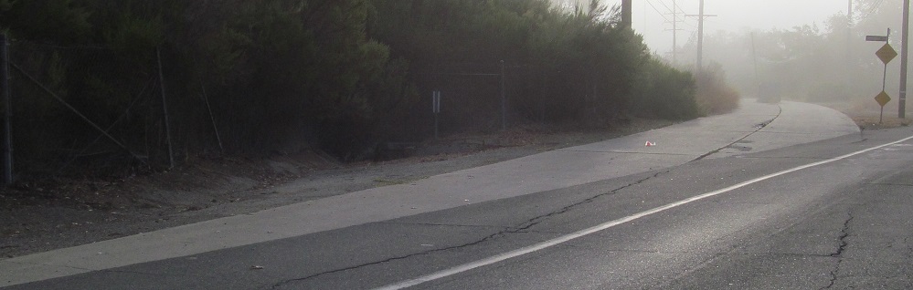
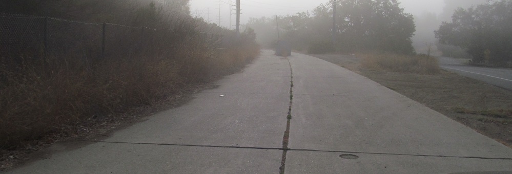
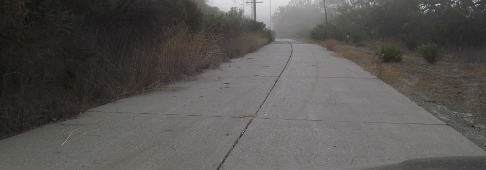
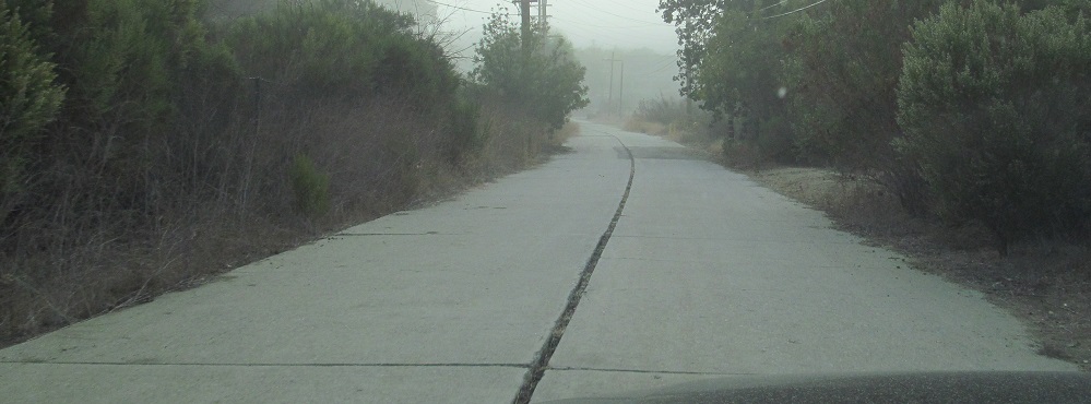
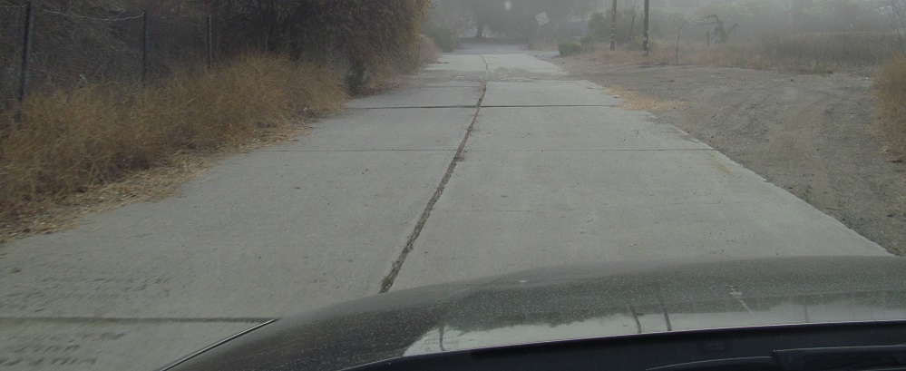
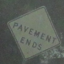
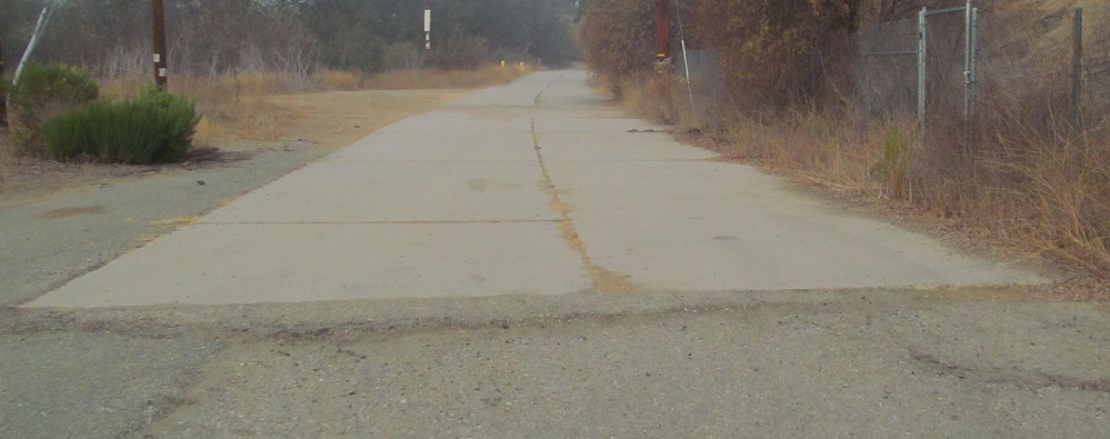
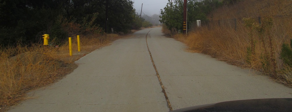
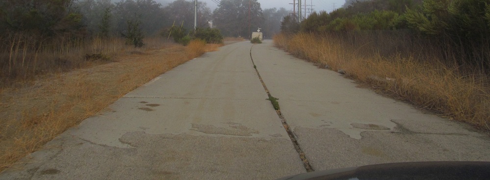
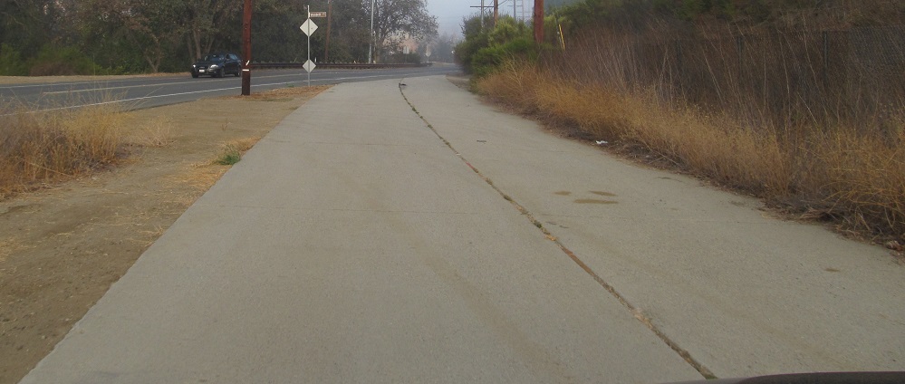
Travel east on Agoura Rd. in Agoura Hills and you will be on old US 101 - until this point. You need to bear left on Vendell Rd. to stay on old US 101, and this original pavement will reward you. It's not that the pavement ends, it's that you can't hop over the berm into the parking lot to follow it.
Back west, old US 101 NB.
Ventura Blvd.
Continue north on old US 101
Back south on old US 101 to San Diego CR S21
Back to old US 101 main page
Onto modern US 101
Onto I-5
Onto CA 1
Old US 101 Non-Roads
Back to California Roads
Back to Roads