California Roads - I-80 - San Francisco
I-80 in San Francisco
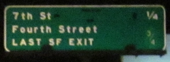
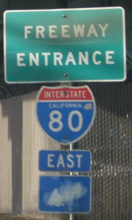
The first sign on I-80 EB already screams LAST SF EXIT!! (without the exclamation points). It's elevated but needs to take off even higher to get across the San Francisco-Oakland Bay Bridge. I note the fractions are different sizes and "St" is only abbreviated in one place, but it had "TO US 101 NORTH" after it, patched over sometime between 2011-2013 once reconstruction of the Central Freeway (from which I-80 is birthed) concluded. US 101 never moved from its current route, but as the western part of Central Fwy. was turned into what's now Octavia Blvd., San Francisco didn't want to dump US 101 NB onto Mission St. and rely on them to figure out the turn onto Van Ness Ave. My understanding is that is still the official route of US 101, but Octavia Blvd. provides an alternative routing that may be easier to follow. Things are still fluid as of 2021.
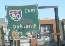
6th St. NB at Bryant St. and onto I-80 EB at 5th St.
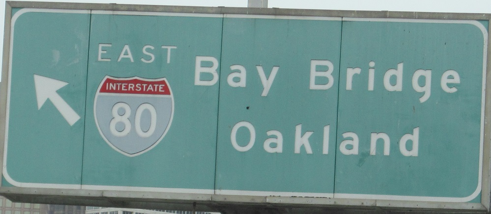
3rd St. NB and onto I-80 EB at Exit 2, courtesy Lou Corsaro.
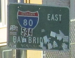
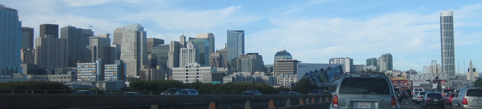
One button copy sign for the page, WB approaching what's now Exit 1C.
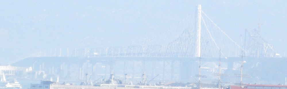
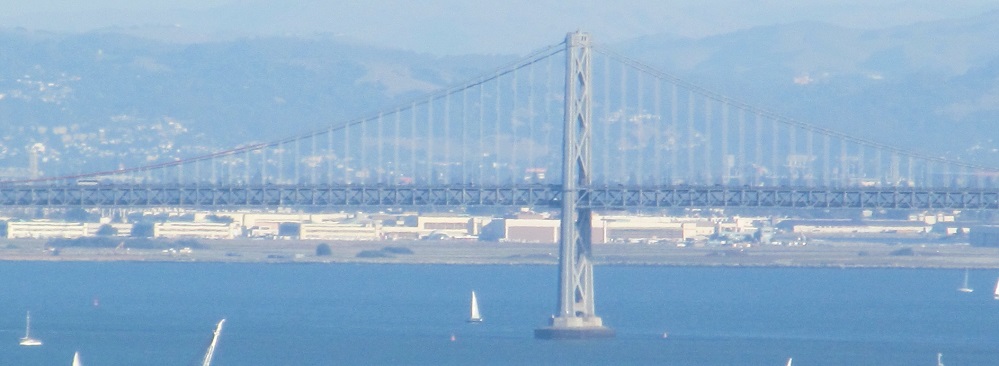
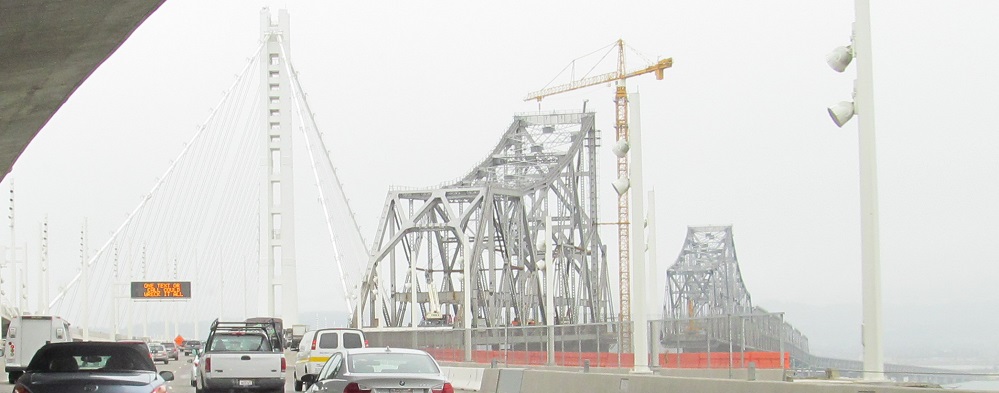
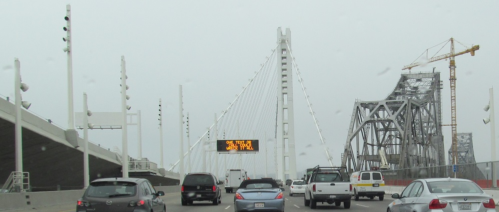
Sausalito views of the two halves of the Bay Bridge. The western bridge is a long, graceful suspension bridge built in 1936 over the deep waters of the Bay, with Alcatraz Island in front. The eastern bridge was, until 2013, a truss bridge over much shallower waters. It was determined to be easier to meet seismic requirements by building a new bridge for that vs. retrofitting on the western span, so it's now cable-stayed. Fortunately, I got there while most of the truss was hanging around.
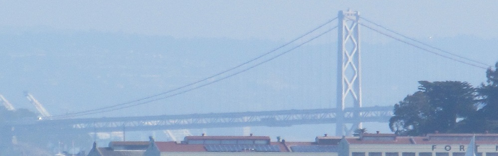
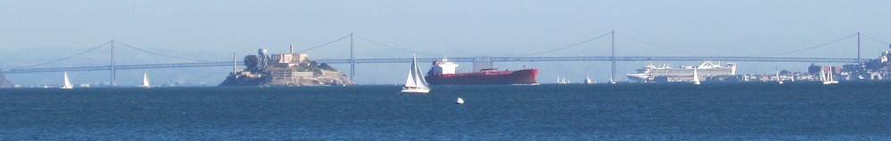
Views from Fort Point on the southeast corner of the Golden Gate Bridge. Yerba Buena Island and the artificially attached Treasure Island separate the bridge halves.
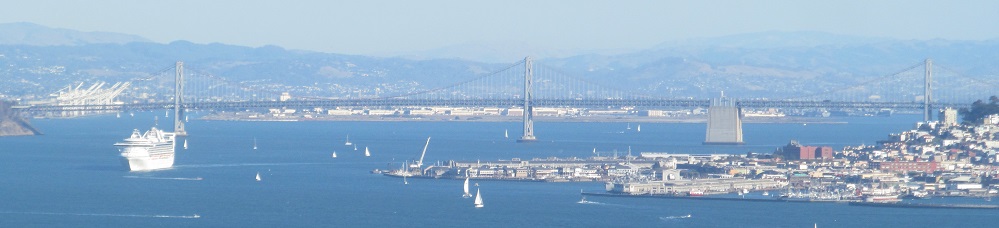
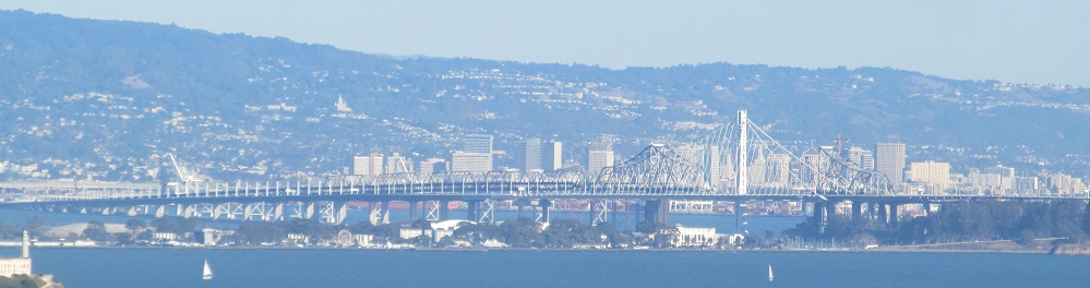
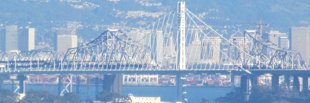
I have even better views from Golden Gate Lookout along Conzelman Rd. southwest of Sausalito. Here you can see the missing truss section that has already been demolished. A section of this bridge collapsed in the 1989 earthquake that took out part of the Embarcadero, but once the new bridge opened, the only danger would be if the old truss somehow collapsed into the new bridge.
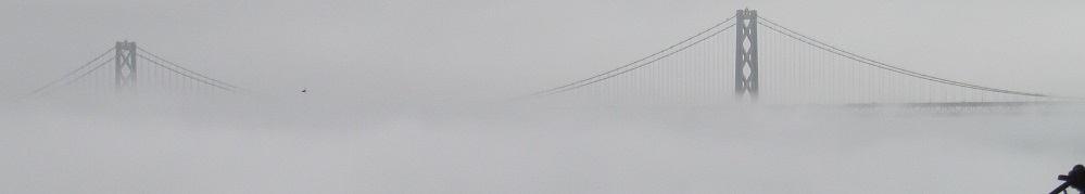
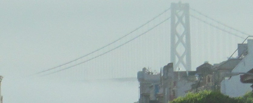
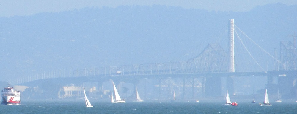
The mystery deepens with morning fog. The second photo looks east along Broadway from Stockton St. in San Francisco.
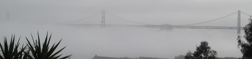
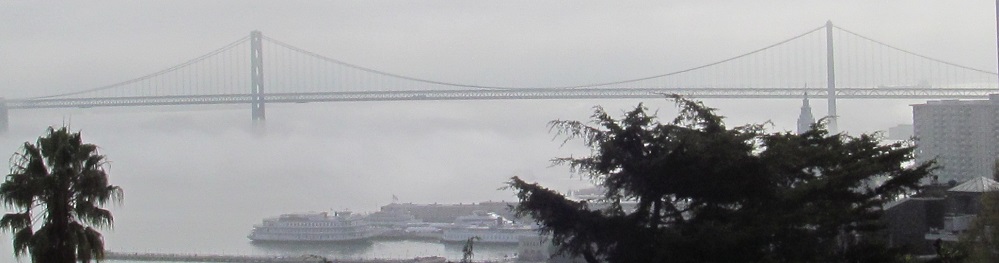
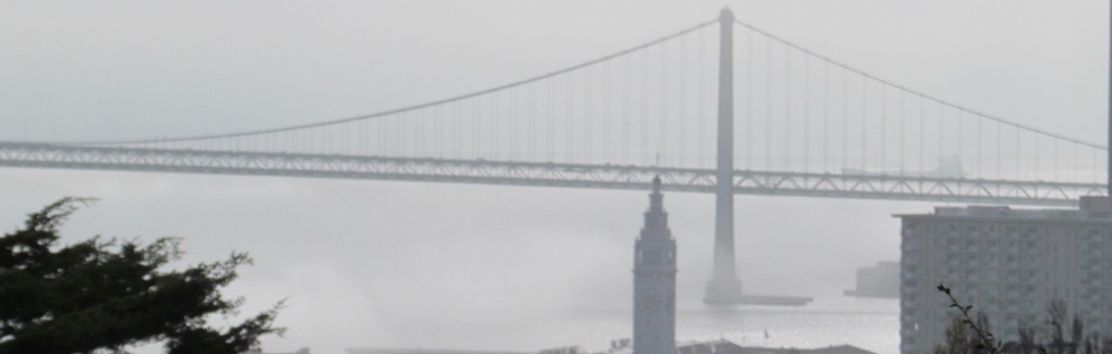
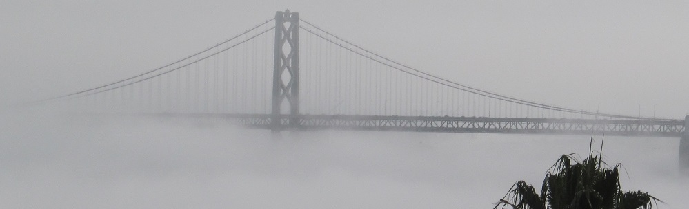
That was also the morning I visited Coit Tower, so have these enshrouded views as well.
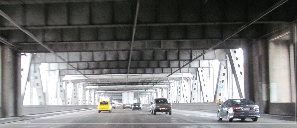
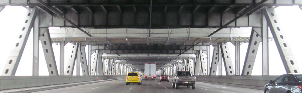
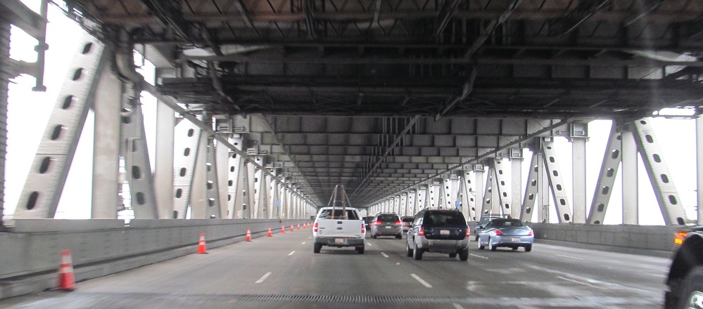
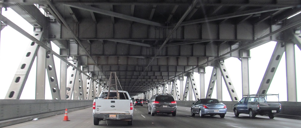
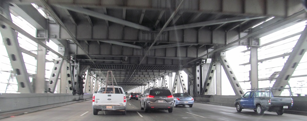
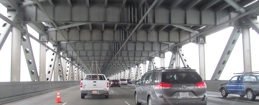
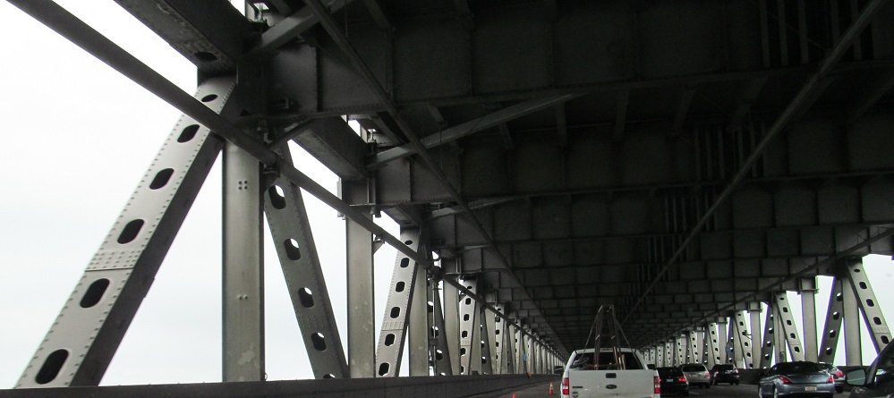
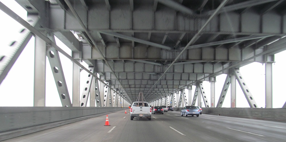
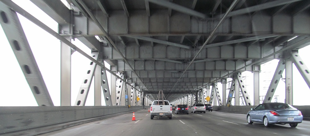
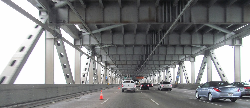
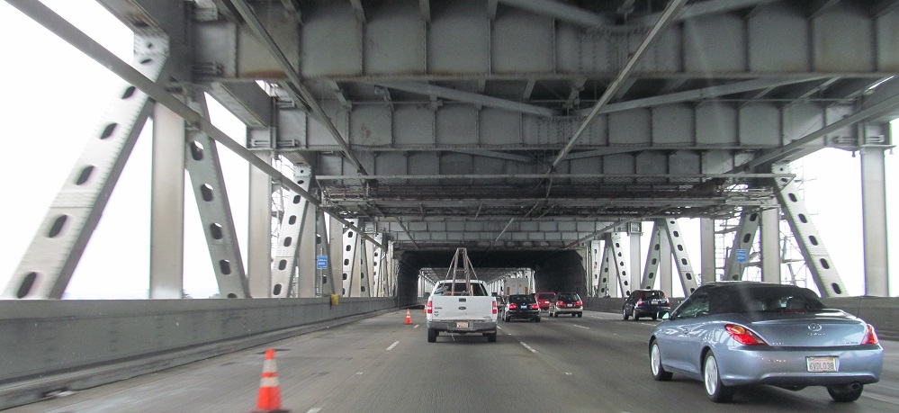
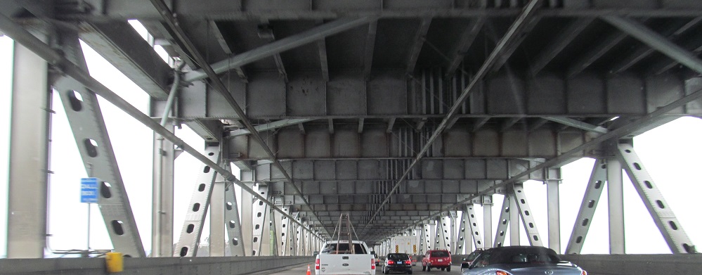
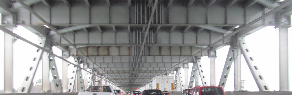
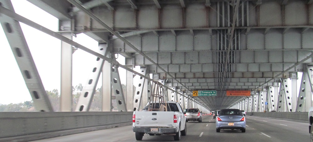
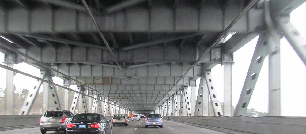
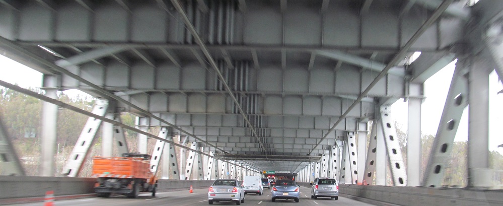
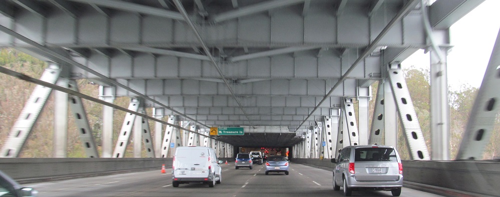
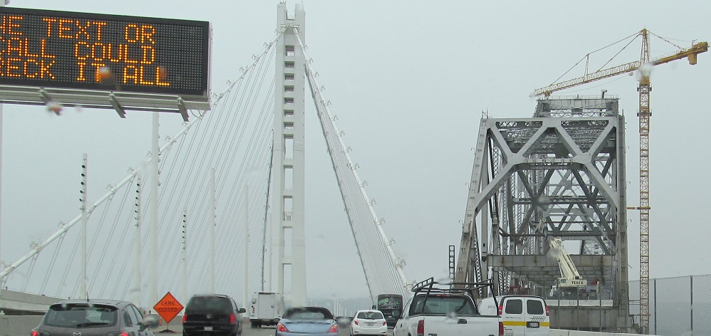
Unfortunately for you, I drove the bridge eastbound, which is the lower level on the suspension bridge, so instead of the towers you get a bunch of deck and truss. (I drove WB at night, no good photos.) This is a great opportunity to show seismic retrofitting in action. Take a look at the modern-looking truss members here, then click below to continue east on I-80 and look at the lacy lattices on the old eastern bridge. These members once looked the same, but lattices do not do well in earthquakes.
Continue east on I-80
Back to I-80 main page
See more of San Francisco
Back to California Roads
Back to Roads