California Roads - I-680 NB - Exit 38 & N
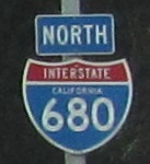
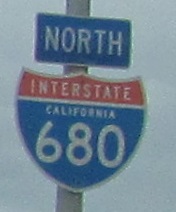 Exit 38 and north
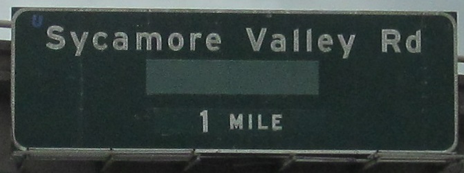
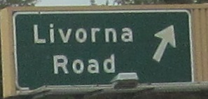
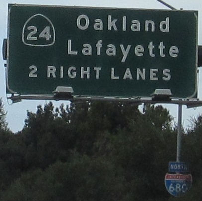
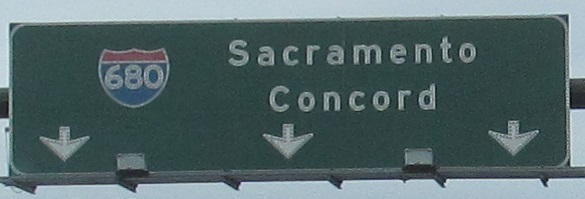
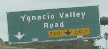
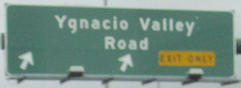
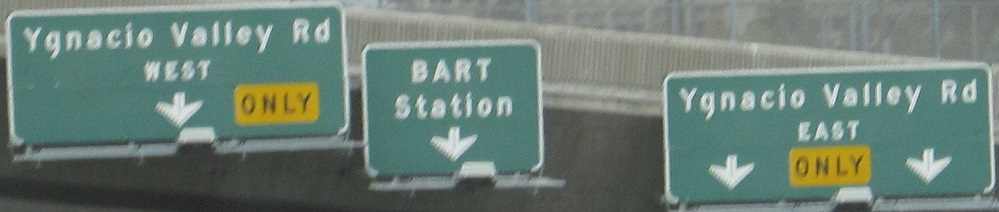
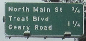
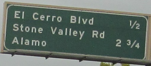
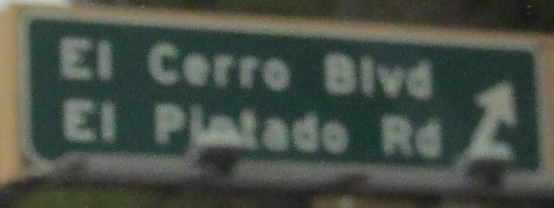


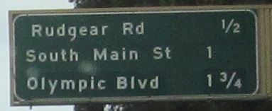
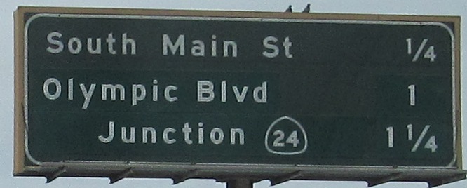
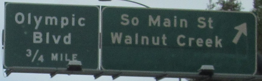
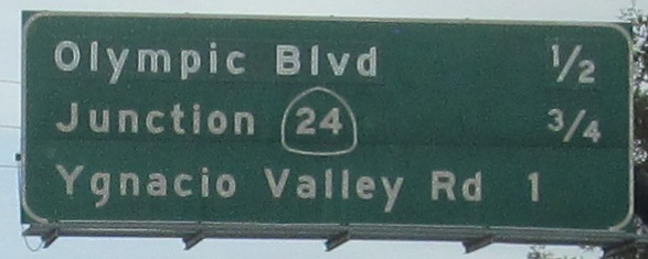
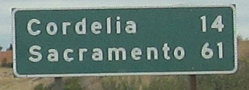
A pair of distance signs with patches are included toward the end of this run. I don't know what Olympic Blvd. was, because Newell Ave. used to take it over to the west but runs separately under I-680. CA 24 was probably WEST once, since it used to multiplex north to what's now CA 242.
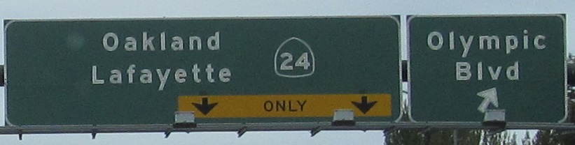
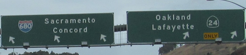
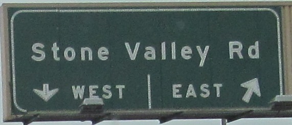
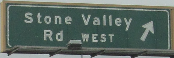
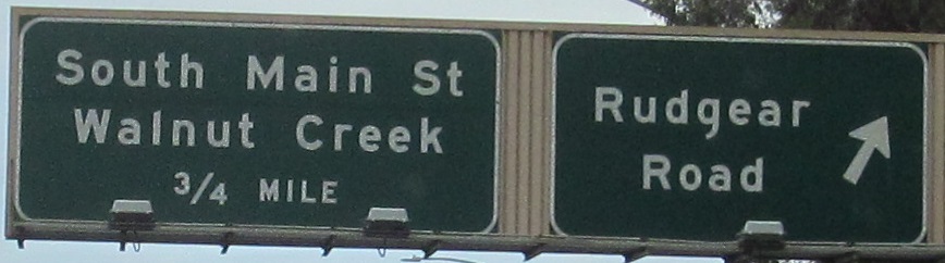
Trickery: the 2nd and 3rd photos are left and right sides of the same gantry, and the last one is delicately squeezed in the middle.
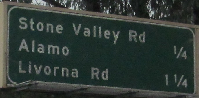
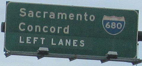
On down the Exit 46 ramp, which merges with one from the end of CA 24.
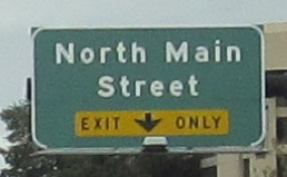
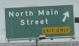
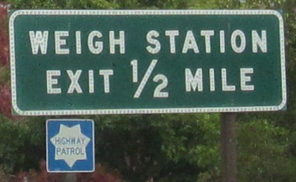
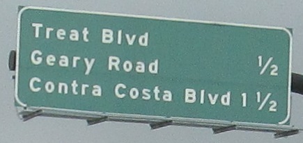
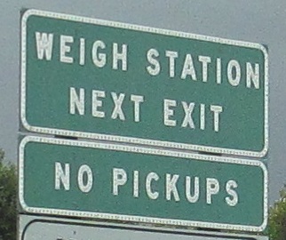
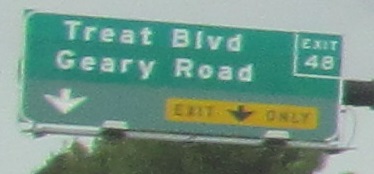
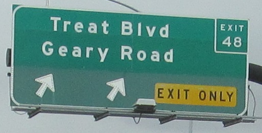
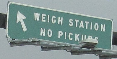
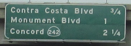
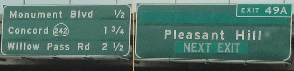
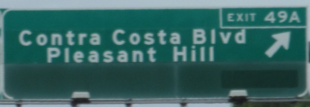
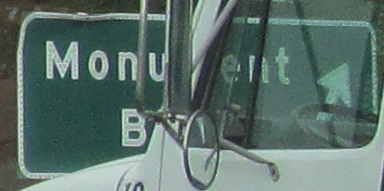
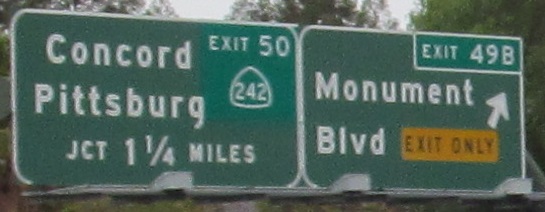
Okay, hold up, what has CA done? Firstly, the last two signs are left and right on the same gantry, and I've excised the boring middle sign. The weigh station (5th from last) is a split from the Exit 48 ramp as it leaves the mainline. Then you get whatever they did to the Exit 49A sign. What warranted this patch job? It's still Contra Costa Blvd. It still goes to Pleasant Hill. Did Caltrans really go to all this effort to put up an exit number tab? If so, that'd be a first statewide compared to what else I've seen and every other sign on this highway where they didn't.
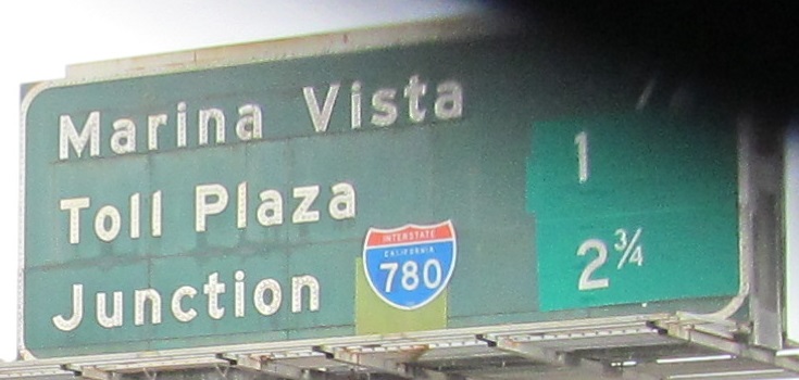
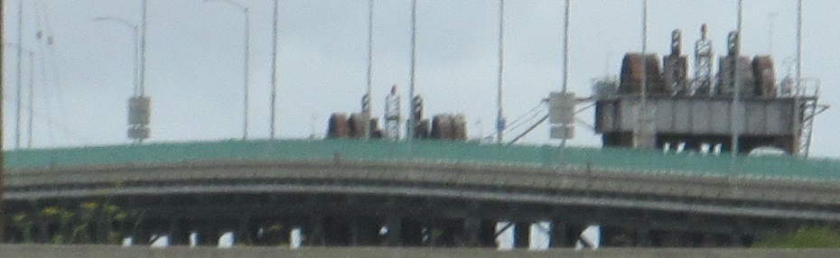
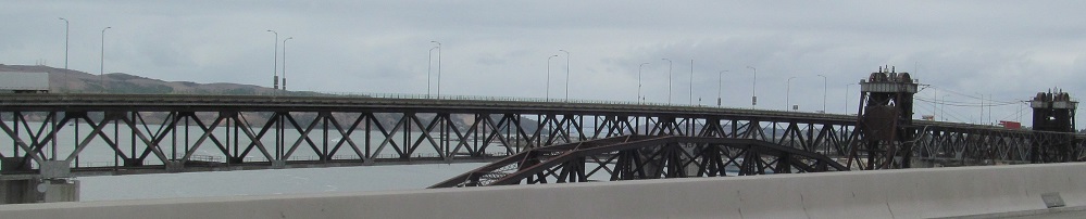
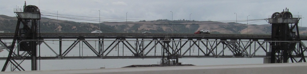
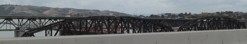
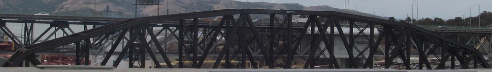
From a sign obscured by a truck to a bridge obscured by the bridge I'm on, which happens to be the 1930 Benicia-Martinez Railroad Drawbridge, the second-longest railroad bridge in North America after Lake Pontchartrain. The Marina Vista advance sign includes a patch by the I-780 shield. That would be CA 21, but not because that's I-780's former number. I-680 used to follow 780 at their split and what's now I-680 north of there was part of CA 21, which has now completely disappeared as all of its surface street segments were gradually converted into freeway and renumbered to 680.
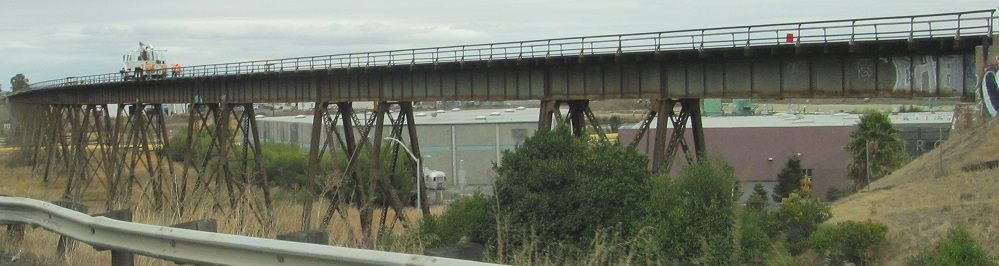
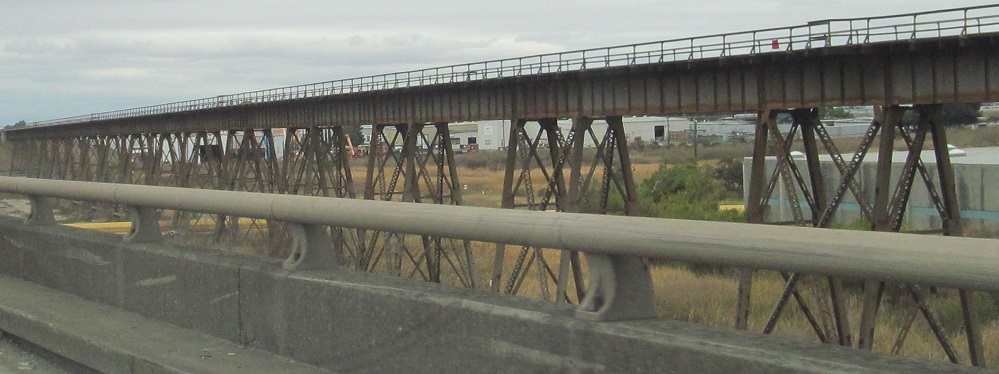
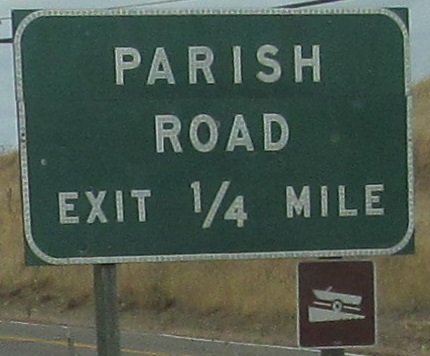
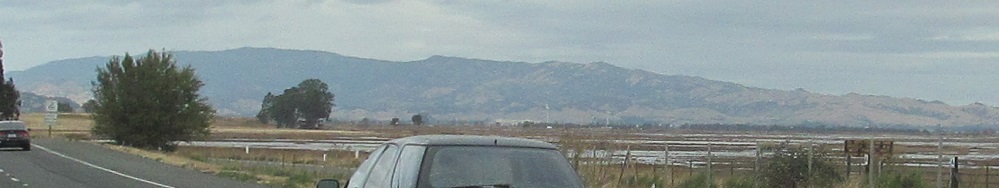
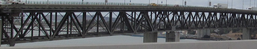
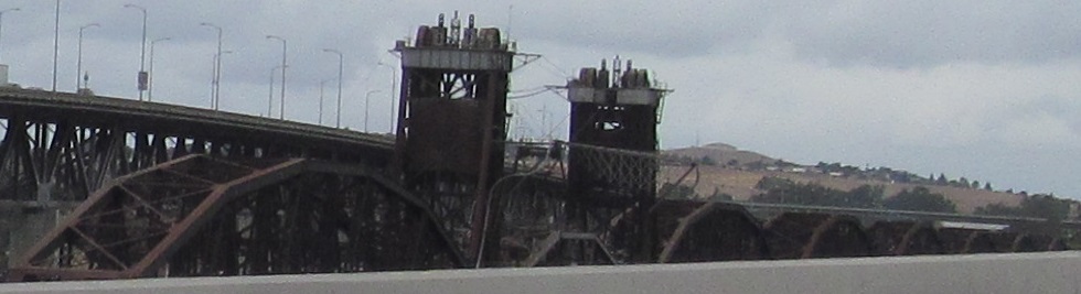
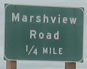
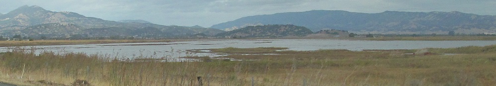
The railroad then crosses Suisun Marsh on a similarly aged trestle (thanks to SPUI for confirming) in a stretch of few exits with no development through marsh and estuary land north of San Francisco Bay, with Mt. George and the Vaca Mountains rising in the distance. The all-caps advance sign for Parish Rd. (Exit 63) is unique in CA, which has been using mixed-case forever.

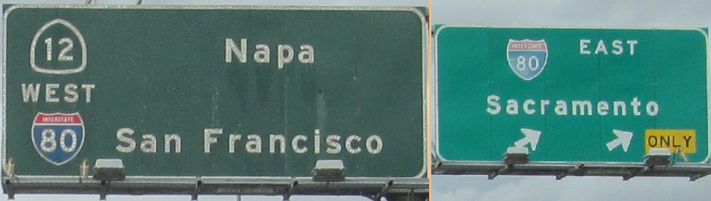
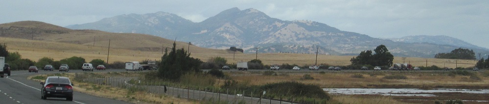
Past a second glimpse of the same scenery across Cordelia Slough to the end of the road. I shrank the non-button copy in the last photo to preserve resolution of the important piece, but I still wanted to show you how ugly the new shield is.
Over to the southbound side
Back south on I-680 NB
Back to I-680 main page
Exit 46A to CA 24
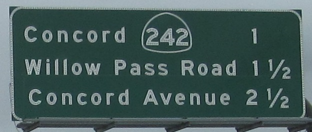
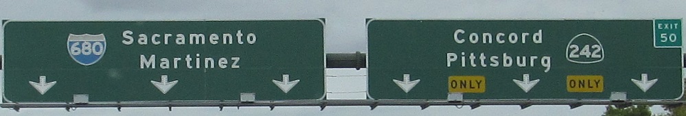
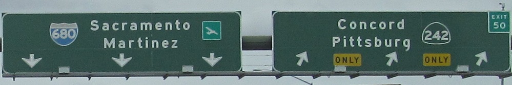
Exit 50 to CA 242
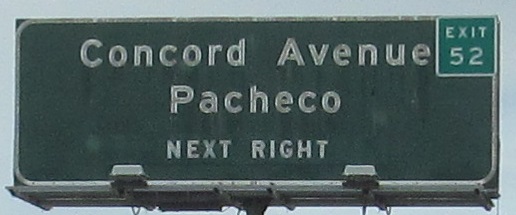
Exit 53 to CA 4
Exit 58A to I-780
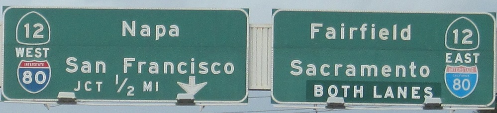
Exit 71 to I-80
Back to California Roads
Back to Roads