California Roads - I-580 EB (Exits 10-21A)/I-80 WB
I-580 EB (Exits 10-21A) and I-80 WB/I-580 EB
This whole stretch of I-580 was the last to be designated as an Interstate, and perhaps the last to be converted to full freeway. It was CA 17 until 1984 along with the entirety of I-880 to the south, which still turns into 17 at its southern end. I-580 still existed east of the I-80 split, replacing the southern half of original I-5W.
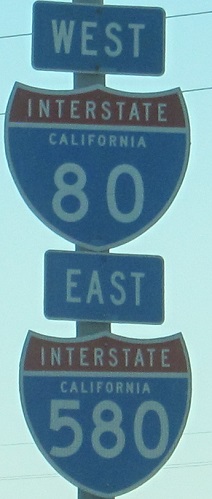
If you travel east on I-580, exits count up to 13, you join I-80, and they conveniently but confusingly start counting back down toward 8 (where I-580 leaves and I-880 is born). It doesn't matter as long as Caltrans avoids posting the numbers. As I've noted on other pages, I-580 west of I-80 was part of CA 17, as was all of I-880 to the south, until 1984.
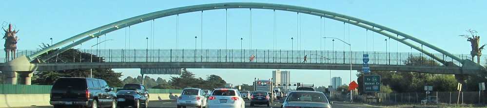
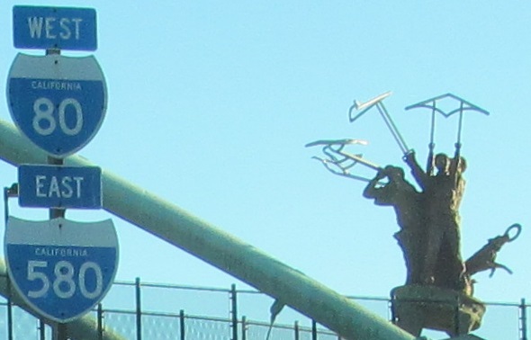
The "I-80 Bike Bridge" (also allows pedestrians) opened in 2002 and gained the Big People statues designed by Scott Donahue. The one I feature on the bayside commemorates shore recreation, while the one on the city side commemorates the history of protest and looks substantially similar. They were locally unpopular and were removed in 2019.
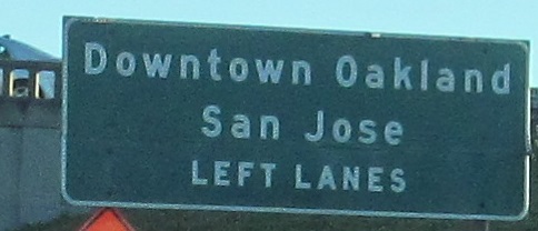
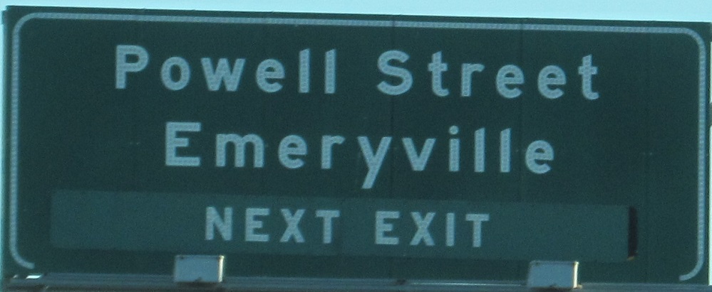
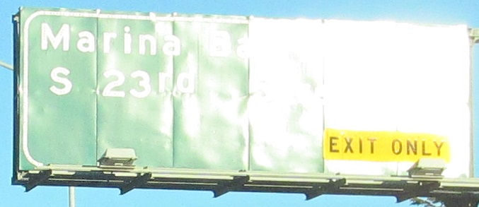
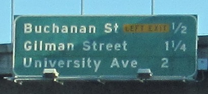
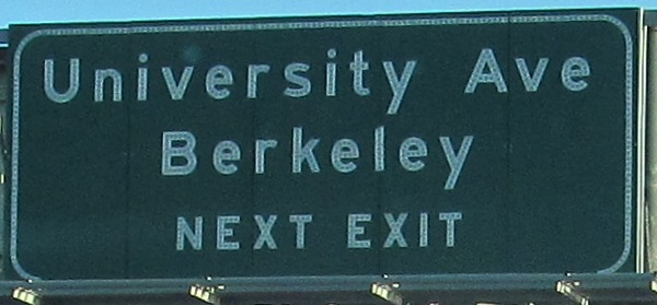
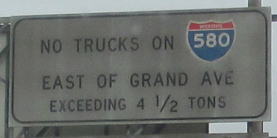
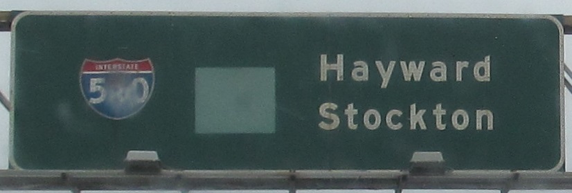
Bubble shields are also unpopular and should be removed. The last two photos are left and right on the same gantry over what is clearly a very wide roadway, and I can vouch very crowded at most hours.
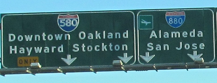
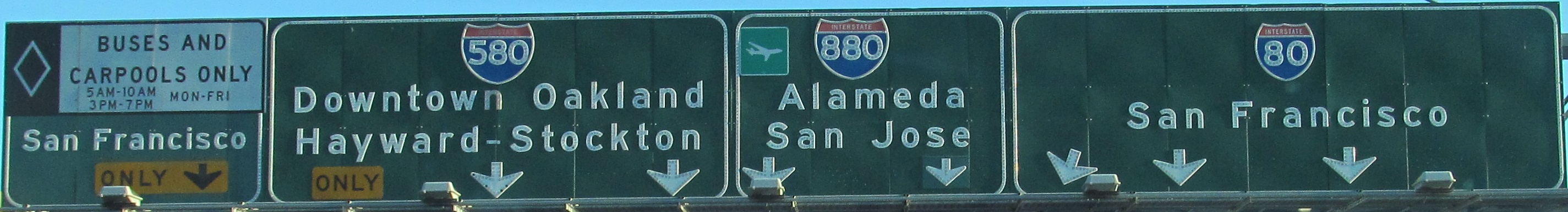
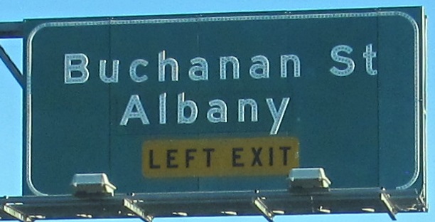
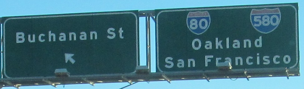
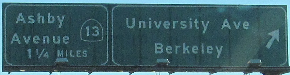
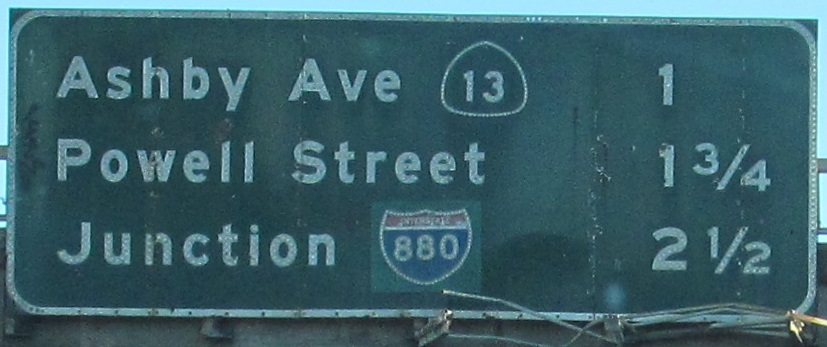
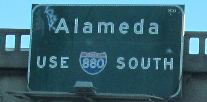
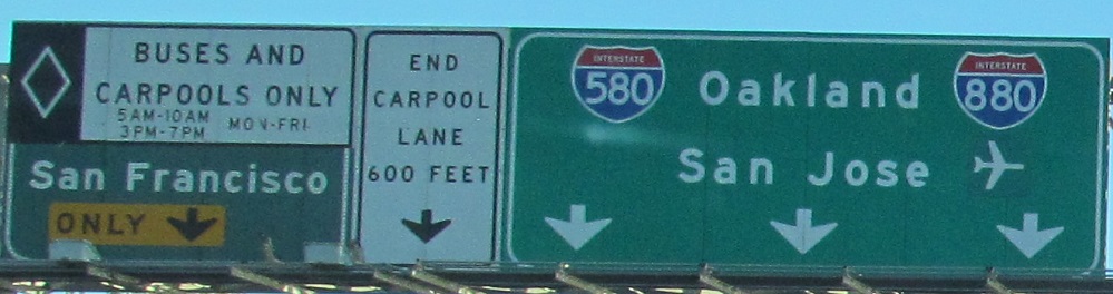
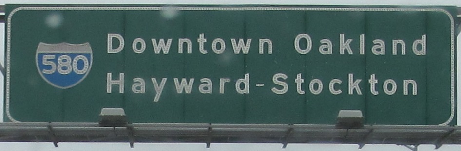
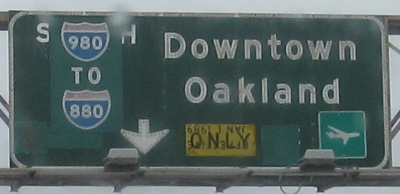
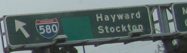
The last two photos are on the left and right sides of the gantry where I-580 splits from I-80 and there's a clear shield replacement for I-880. There were too many signs on the first photo to split into left/right conveniently, so click for closeup.
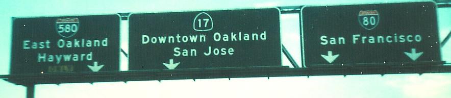
The same split with fewer lanes in 1976, courtesy Michael Summa. There's no doubt about I-880's origin.
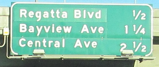
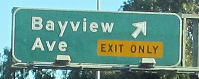
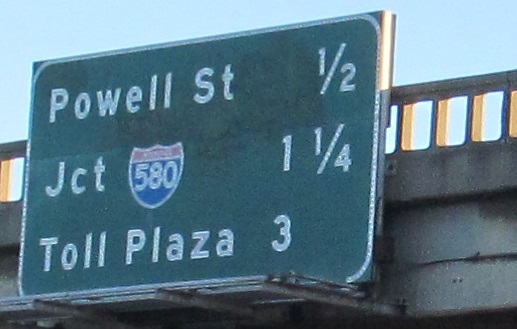
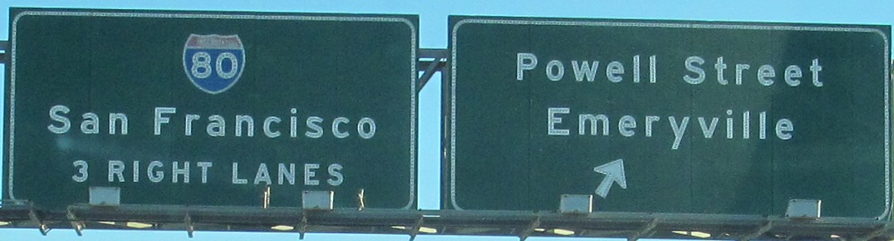
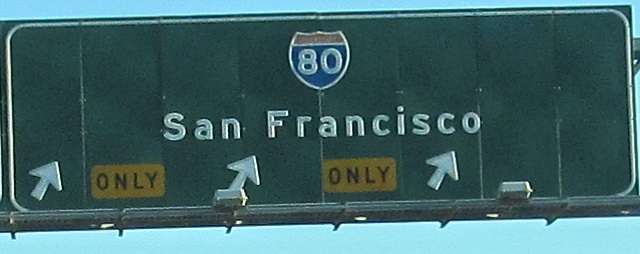
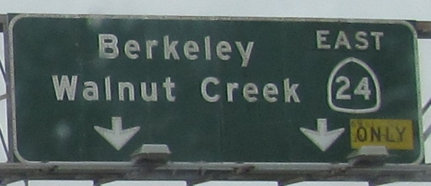
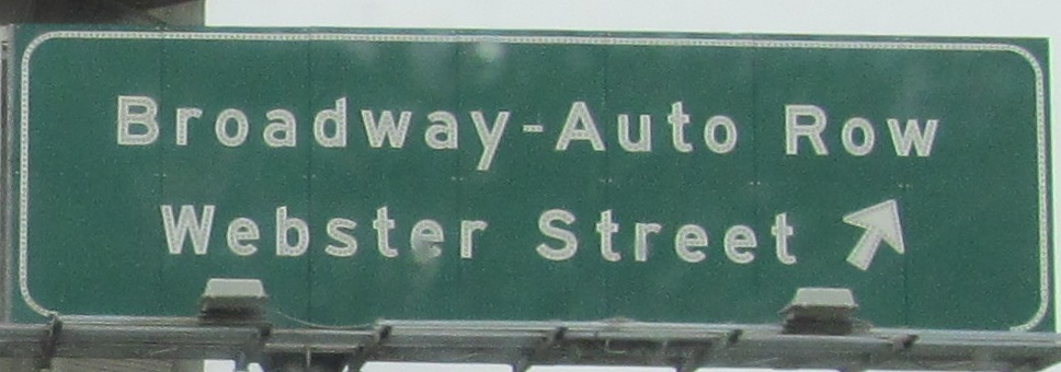
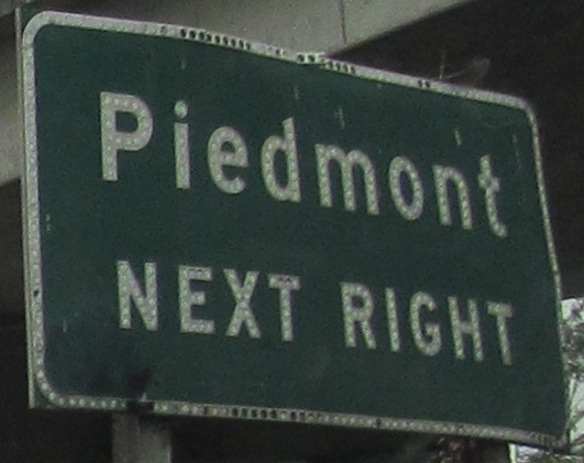
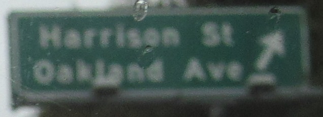
Leaving I-80, the last two signs are left and right on the same gantry, a theme on this page.
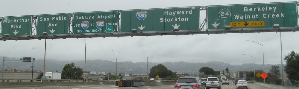
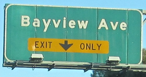
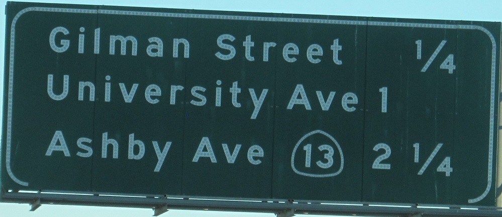
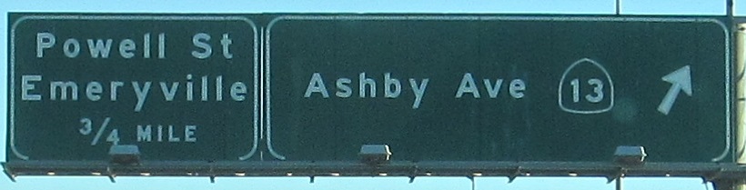
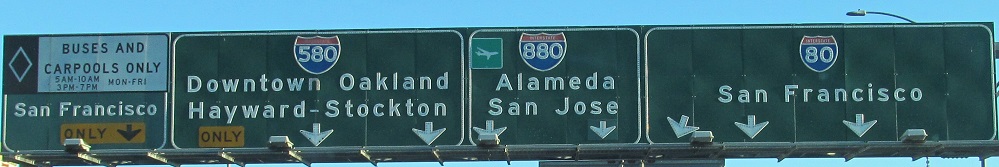
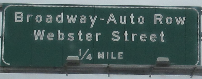
This amount of button copy is just getting silly. In a good way. Button copy is always good. Click on the first photo for a closeup. I would like to note that the I-580 shield on the white sign is also button copy in outline and numerals.
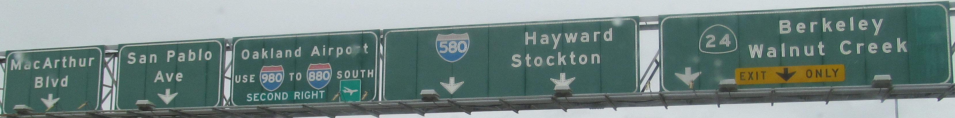
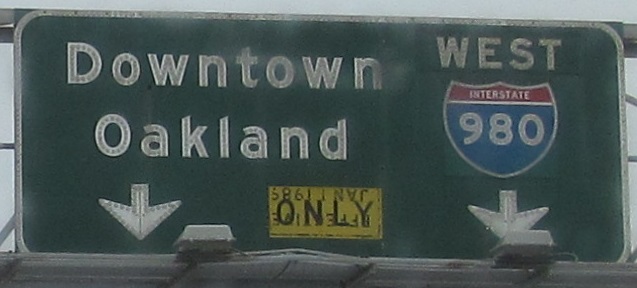
I've descended into peak silly. All three of these signs are on the same gantry, from left to right. I needed to be able to caption them all for you at full resolution. What's patched on the left sign? No idea. The center sign causes me trouble. It could have said SOUTH 17, since I-980 quickly leads into I-880 SB, but the freeway ended in downtown Oakland until 1985. It could have said SOUTH 24, but CA 24 is an east-west road. Or it could have said SOUTH I-980 but been patched over to show the connection to I-880, but again, I-980 is an east-west road. So I'm defaulting to CA 17 until proven otherwise. You can also see from the "ONLY" plaques that something was effective Jan. 1, 1989. I've given up on figuring out that or anything else with these signs.
Again with 1/1/89, again with signs on the left and right of the same gantry. It gets less silly after this.
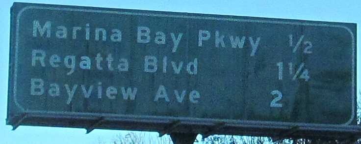
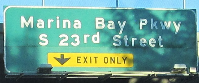
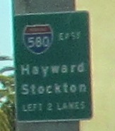
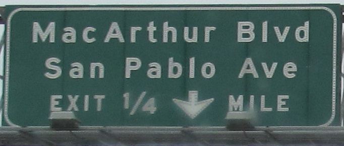
The last photo is the end of MacArthur Blvd. at Exit 21A. I tried to get photos of button copy on the left and right and got mostly neither. Again you see a sign referencing I-580 with a greenout next to it, and I'm again unsure what that's about. My best guess is US 50, which was the original occupant of the MacArthur Freeway until its decommissioning west of Sacramento in 1964 but was apparently signed for several years after that, which is about how old these signs are.
Onto I-80 alone
Continue east on I-580 EB
Over to the westbound side
Back west on I-580 EB
Back to I-580 main page
Onto I-880
To modern CA 17
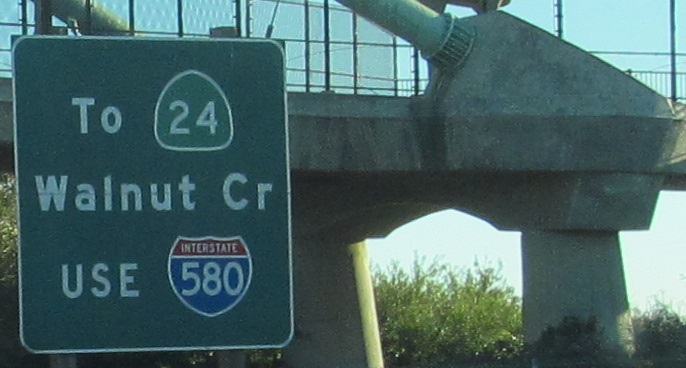
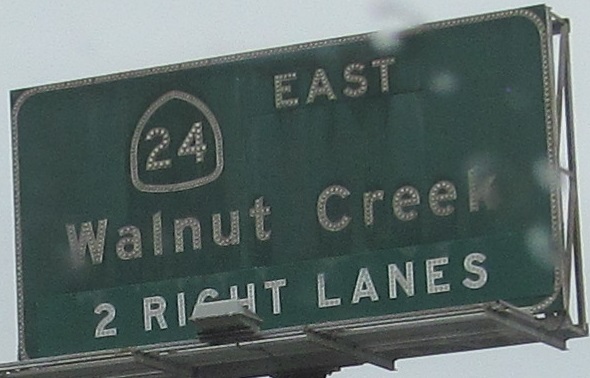
Exit 19B to CA 24
Exit 19C to I-980
Back to California Roads
Back to Roads