California Roads - I-5 SB - San Clemente-San Diego
 , San Clemente to San Diego
Closer to the San Clemente end.
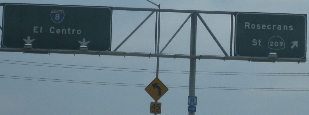
On the Exit 21 and 20 ramps, respectively, courtesy Lou Corsaro. CA 209 is long dead, but Caltrans is in no hurry to update signs.
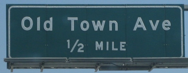
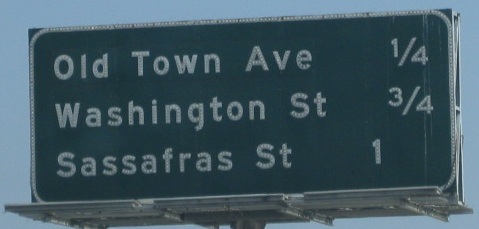

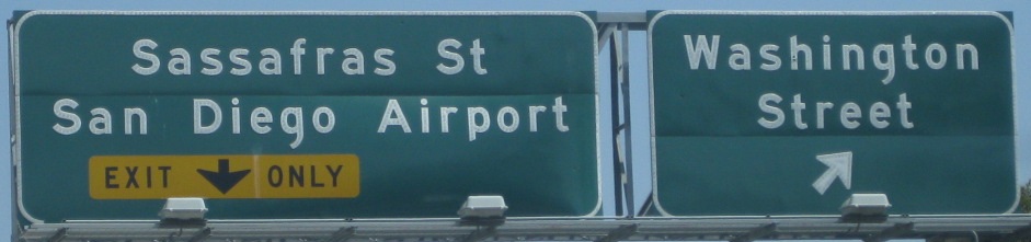
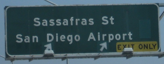
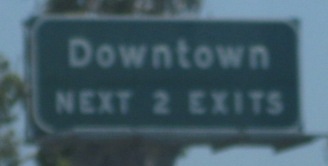
All courtesy Lou Corsaro. Makes you wonder what was under everything in that last sign. Sassafras St. (Exit 18A) was obviously a one-lane exit widened to two.
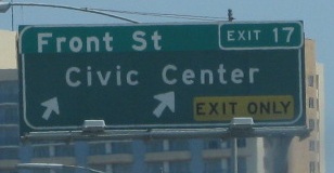
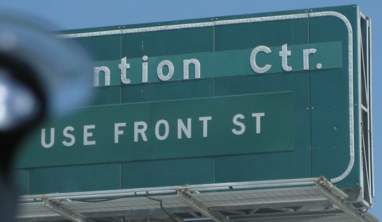
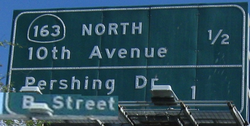
The last two photos are on the Exit 17 ramp, and all of the rest are courtesy Lou Corsaro. Sometimes, in order to fit an exit tab, I guess Caltrans has to patch over the entire first line with the same destination. And yet, as you'll see below, they're very clever about trying to avoid that scenario, sometimes (okay, always) too clever for their own good. The Exit 17 sign also shows the consequence of the last round of button copy installed by Caltrans, which incorrectly inset the white border (should never happen for a dark-background sign). The patch has the correct borders, so they don't line up.
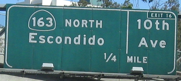
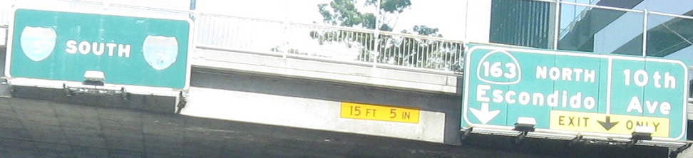
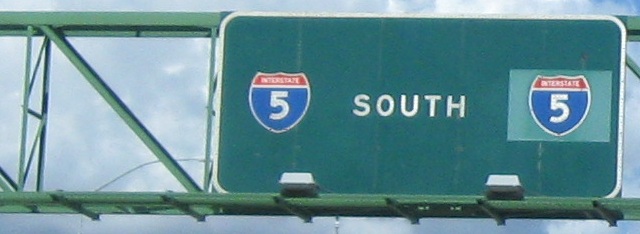
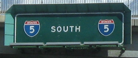
The last two photos are on the left and right of the same gantry. I wonder if the second I-5 is patched over a US 101, which would date the sign to earlier than 1964. Given the button copy numerals, it's plausible. Also, the "Exit 16" on the second photo qualifies as the worst patched exit number anywhere in California - and they're knocking out some doozies. Click on the third photo for a closeup of the I-5 pull-through BGS over the left lanes, courtesy Lou Corsaro, which may hint at another US 101 coverup (check the white bulge to the right of the right shield).
The last two photos are on the left and right of the same gantry, and the first photo is courtesy Lou Corsaro.
The last two photos are on the left and right of the same gantry.
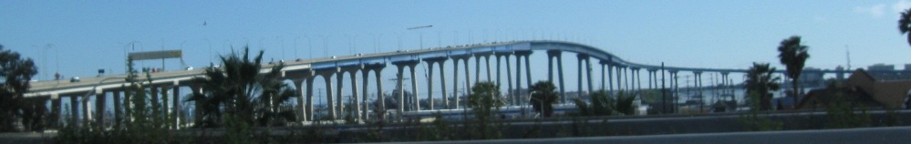
The first photo looks west at the San Diego-Coronado Bridge. The last two photos are again on the left and right of the same gantry.
The last photo is on the Exit 13B ramp.
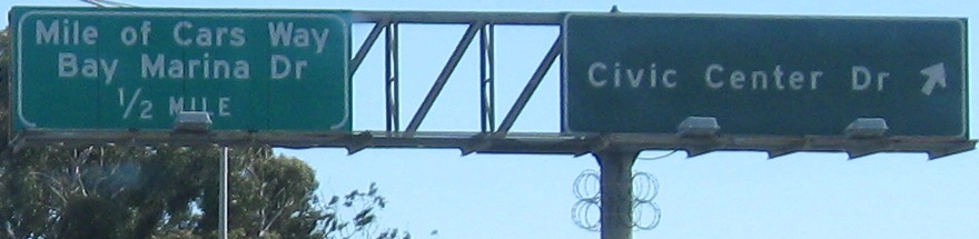
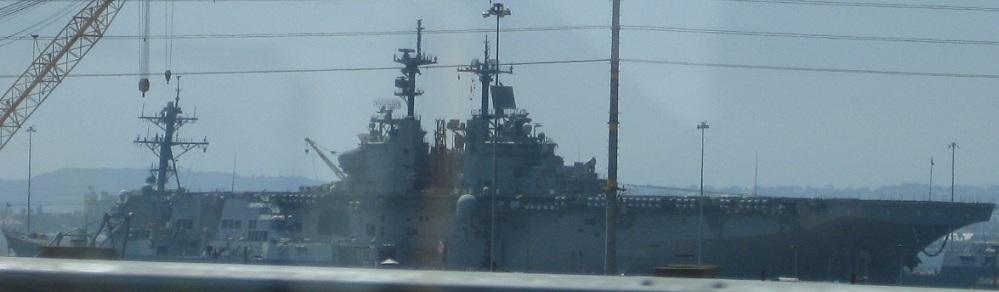
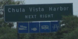
The last three photos are courtesy Lou Corsaro, with the last on the Exit 7B ramp (at Chula Vista Harbor); the view of the battleship actually comes just before the previous photo, but that would have made captioning less convenient.
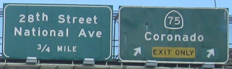
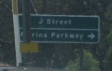
The second photo is on the CA 75 (Exit 5A) ramp. (CA 75 is a beach loop that begins and ends at I-5.) Button copy is gone from the mainline, but survives up and down ramps and cross streets.
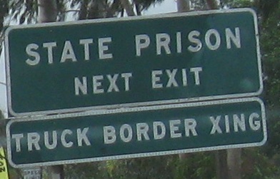
This entire assembly, courtesy Matt Kleiman, has since been removed. The speedometer check posts, also seen in the NB direction at that time, are now gone. They were probably confused with mileposts, especially in the SB direction where they counterintuitively increased as one got closer to the border.
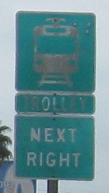
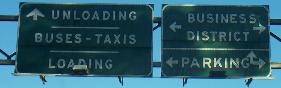
The last photo, courtesy Matt Kleiman, with all of its myriad arrows was on the ramp for Camino de la Plaza (the trolley exit) but is gone now.
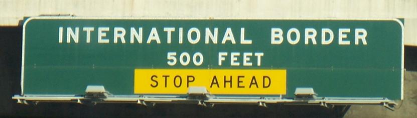
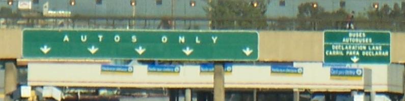
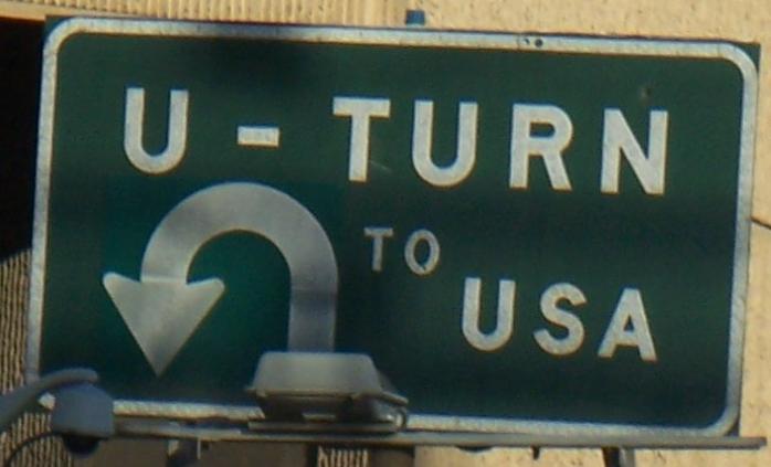
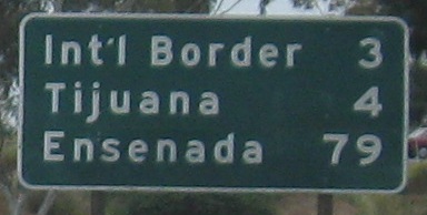
As far south as Matt and his friends were willing to get.
Over to the NB lanes
Back north on I-5 SB
Back to I-5 main page
Onto I-8
Onto former CA 209
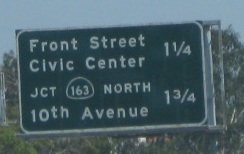
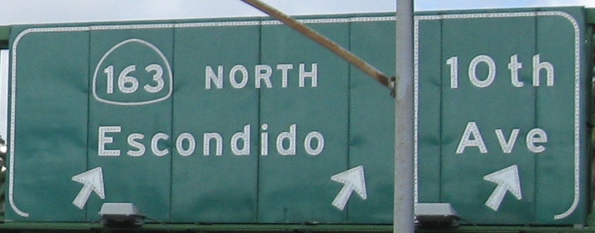
Exit 16 to CA 163
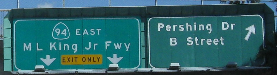
Onto CA 94
Onto CA 75
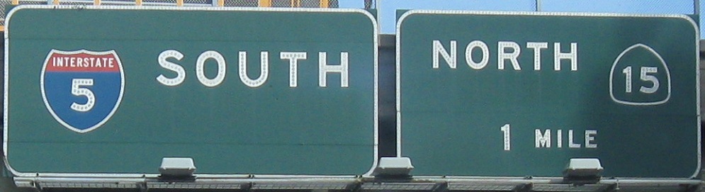
Onto CA 15
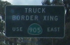
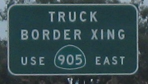
To CA 905
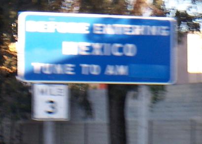
Into México on Federal Highway 1
See more of San Diego
Back to California Roads
Back to Roads