California Roads - I-5 SB - Violin Summit-L.A.
 , Violin Summit-Los Angeles
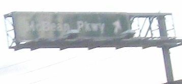
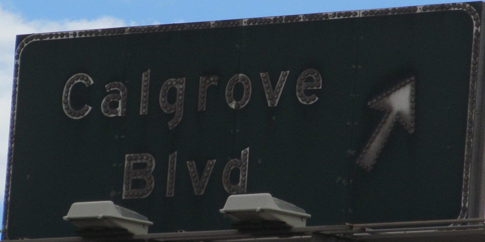
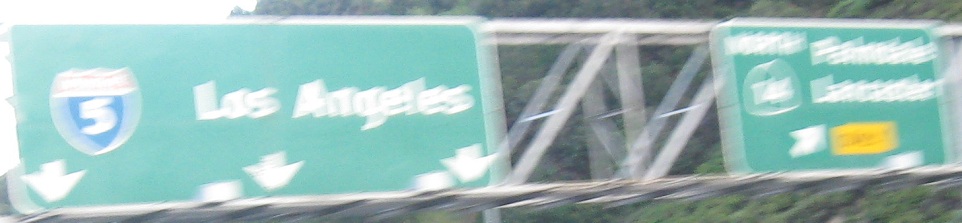
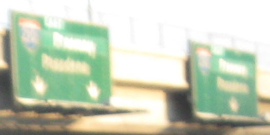
Above: The wrong shape is all too common in California, courtesy Matt Kleiman.
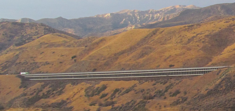
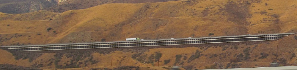
Once I-5 climbs up over Violin Summit, it switches sides. What you see looking west is now the northbound lanes of I-5, climbing the original Five Mile Grade of US 99 (built 1933, widened to 4 lanes 1948) from Castaic. It's sitting on a retaining wall on the side of Marple Canyon. The reason both directions aren't together is that the old road climbs at 6%, which was judged too steep for a downgrade given the number of trucks using I-5. (It's not Interstate standard as an upgrade, either, but it was grandfathered in.) With that, it was further judged that the easiest place to put the SB roadway was on the ridge to the east, and thus the carriageways were crossed in 1970 to create a 4% downgrade.
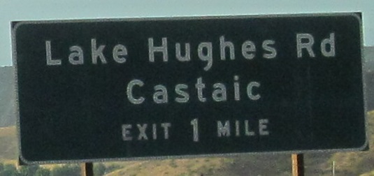
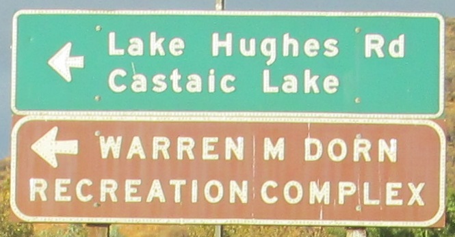
The last photo is on Lake Hughes Rd. WB.
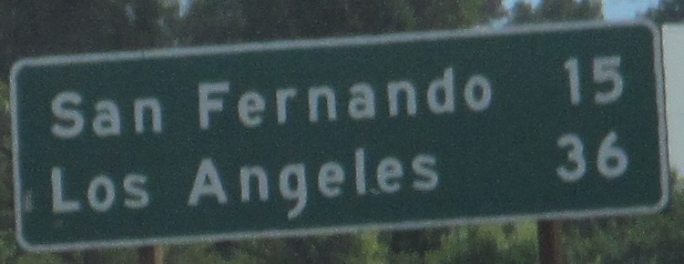
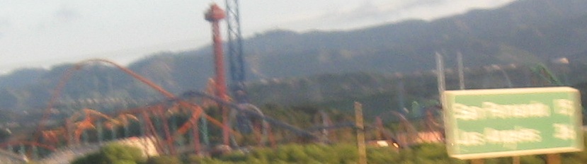
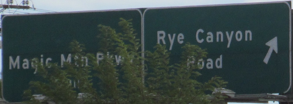
The last photo was supposed to be of the preceding distance sign, but ended up giving a much better shot of Six Flags Magic Mountain.
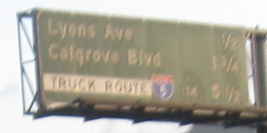
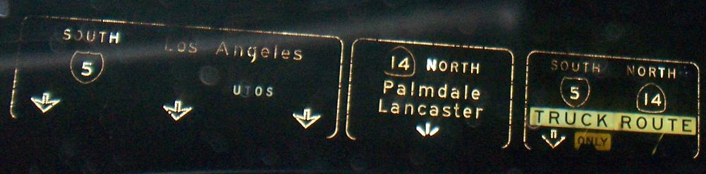
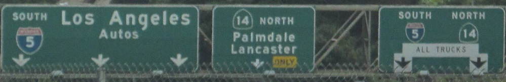
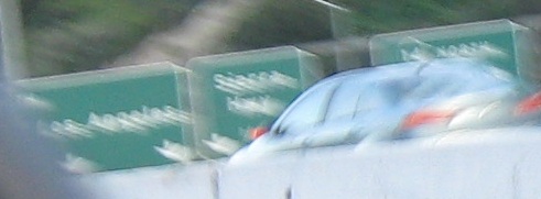
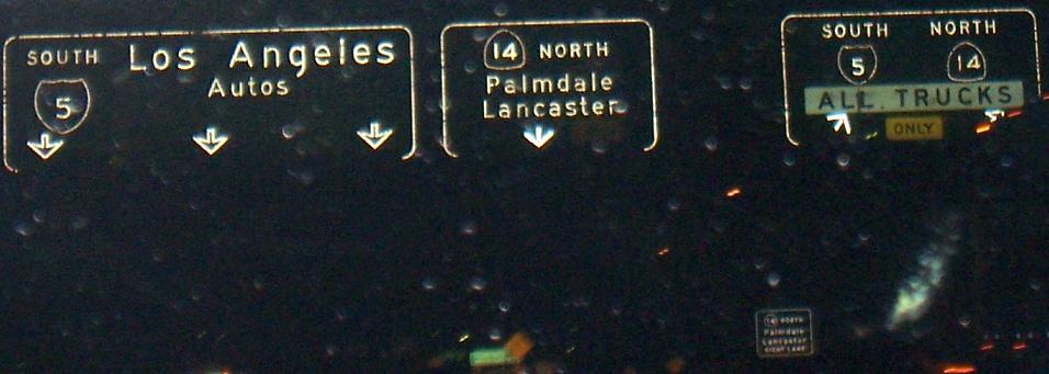
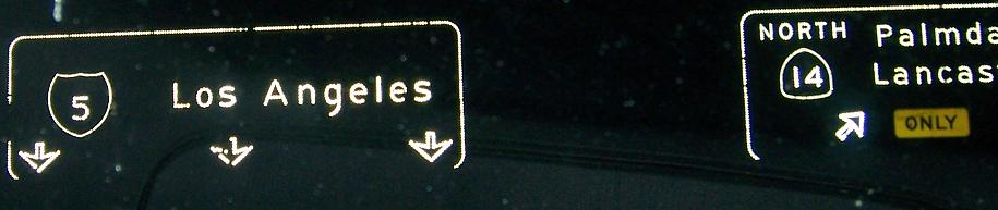
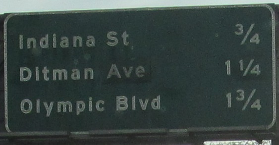
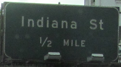
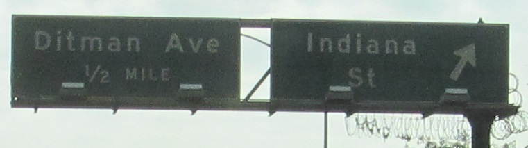
Continuing into the Newhall Pass interchange, the one nighttime photo courtesy Matt Kleiman. Click on the tenth (first after Matt's) and last photos for more Matt Kleiman nighttime versions; the former features an earlier iteration of the rightmost sign on the gantry.
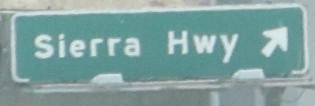
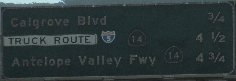
Sierra Highway is an exit exclusive to the "truck" roadway and not signed from the mainline, so you'd have to be a local to find it.
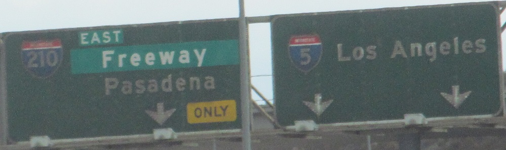
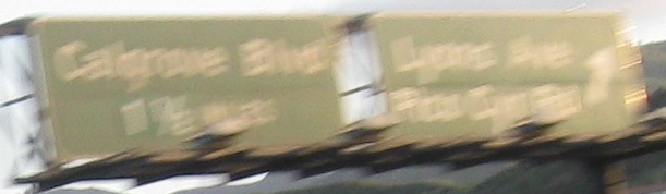
Approaching the beginning of I-210, unfortunately opposite my direction of travel in the 2nd photo. It appears to be the same as the left sign in the first photo but repeated twice because the one on the right is over the truck roadway.
I-405, the slow way through Los Angeles, courtesy Matt Kleiman.
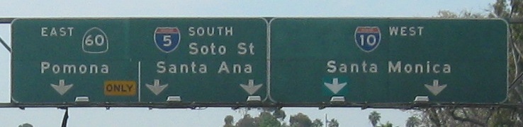
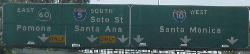
From Burbank to East Los Angeles. Unlike northbound, where I-10 is Exit 135C, there is no exit number for I-10 in this direction. This maddening inconsistency is just par for the Caltrans course.
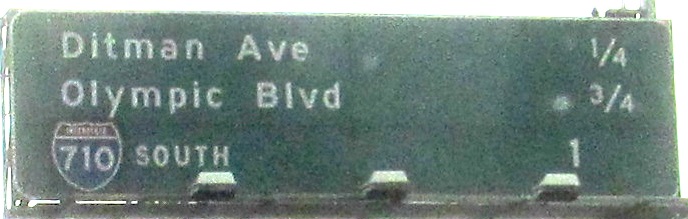
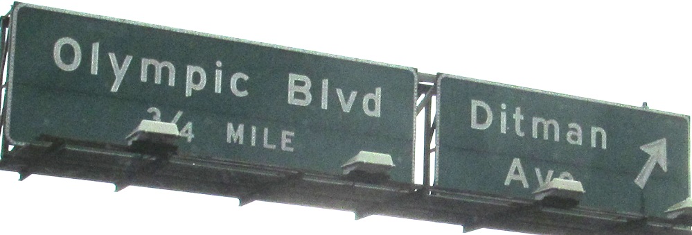
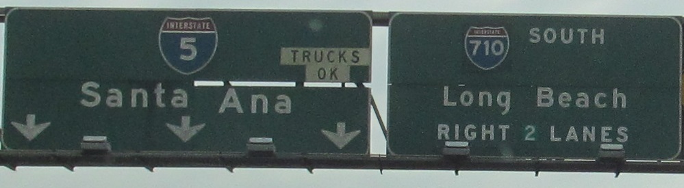
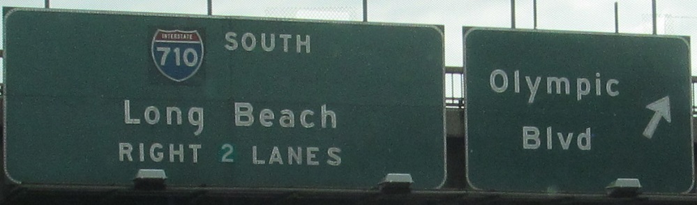
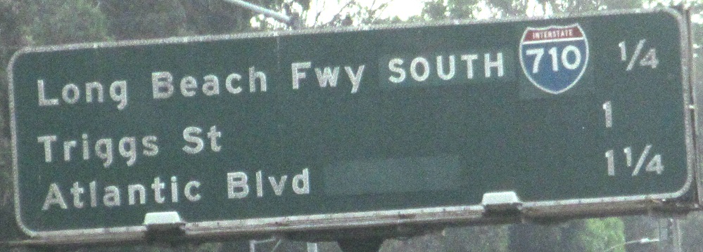
All of the I-710 shields are patched over CA 7 shields; the highway was renumbered in 1983, so the signs are over 30 years old in these photos, and sometimes falling apart a bit. The last photo gives me pause, as I don't know what "SOUTH" would have been patched over. The interchange never had a ramp to CA 7 NB. It's possible that there was just a 7 shield previously, but the sign seems too wide for that. While I gear up the time machine, I can write off the Atlantic Blvd. patch, as that originally had separate SB and NB exits. This distance is to the old, removed SB exit, while the slightly farther old NB exit now serves both directions.
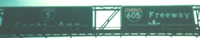
I-5 SB at I-605 in 1976, courtesy Michael Summa.
Continue south on I-5 SB
Back north on I-5 SB
Back to I-5 main page
Onto I-210
Onto I-405
Onto I-10
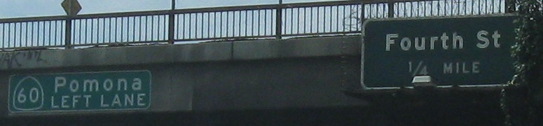
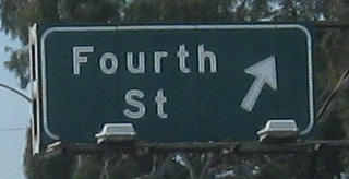
Onto Fourth St.
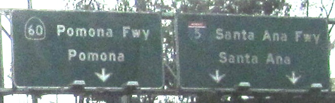
Onto CA 60
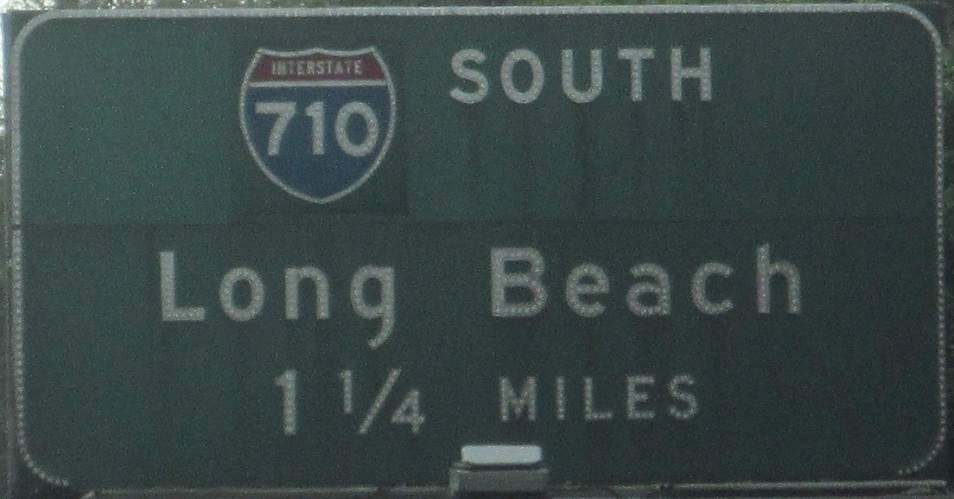
Onto I-710
See more of Los Angeles
Back to California Roads
Back to Roads