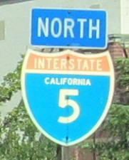
California Roads - I-5 NB - N. of L.A.
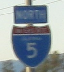
 north of Los Angeles
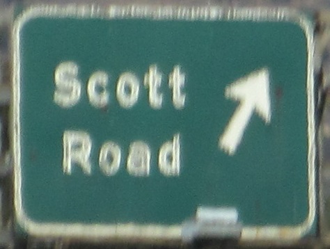
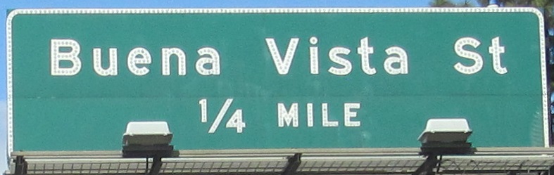
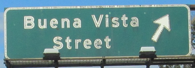
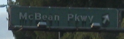
The first photo is on the Exit 146 ramp. The next is for Exit 147A, which no longer exists; Scott Road's ramp was combined into a redone Empire Ave./San Fernando Blvd. exit as part of I-5 widening through Burbank.
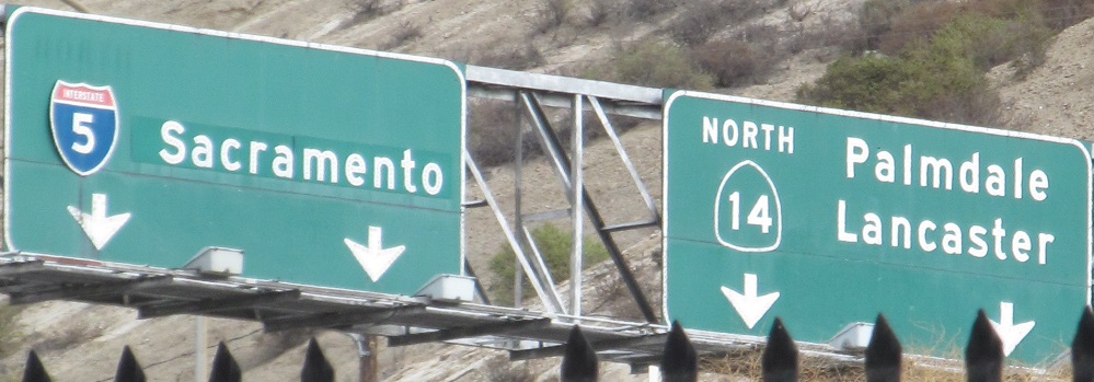
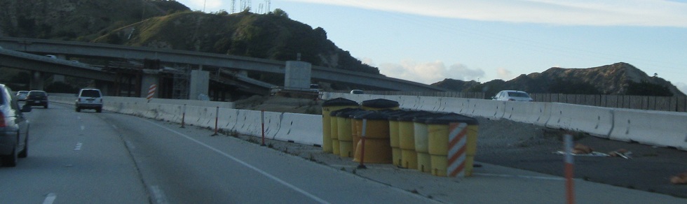
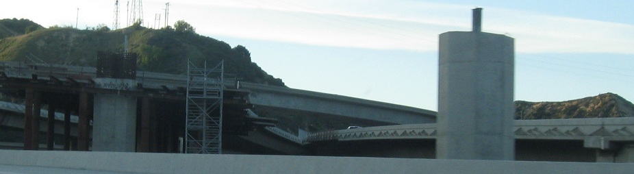
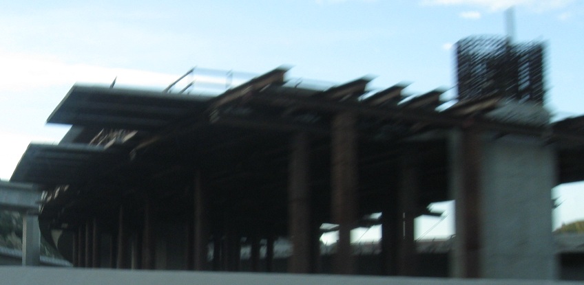
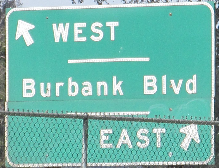
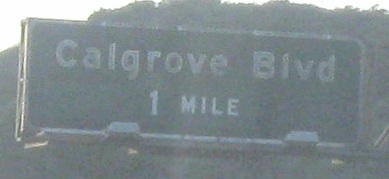
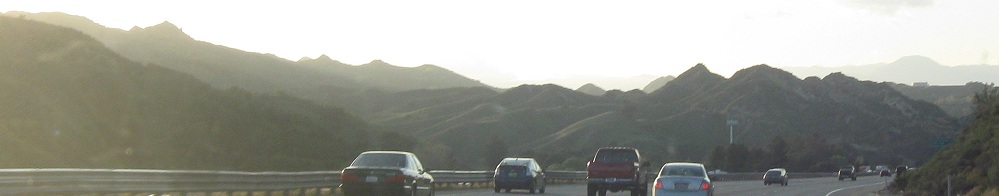
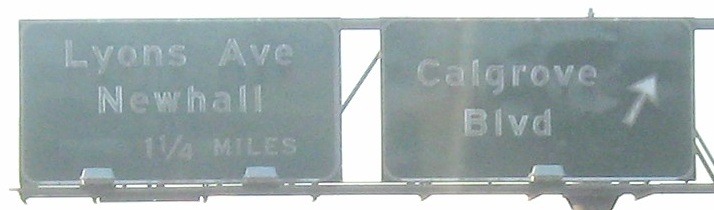
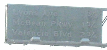
NB into Newhall Pass Interchange reconstruction (now Exit 162), where the newly built median HOV lanes on I-5 are going to be tied into the pre-existing HOV lanes on CA 14. The first two signs are on the same bridge, over the regular (left) and truck (right) lanes, facing into the evening sun. The truck roadway follows the old routing of I-5 (originally US 99), leading to the third photo. Between the railroad on the left and the hills on the right, Caltrans ended up finding it easier to build a new 2-way roadway on the west side than widening the original highway. The car/truck distinction is unusual over such a short stretch, rather than a local/express type setup.
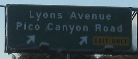
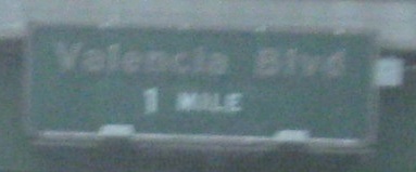
Exit 170 (Magic Mountain Parkway) was renamed from Saugus Road - or possibly Ventura Road, because most accounts I can find say the original name was Saugus Ventura Rd., but that would never have fit on this sign in button copy.
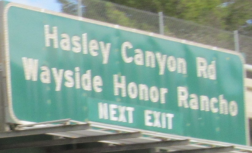
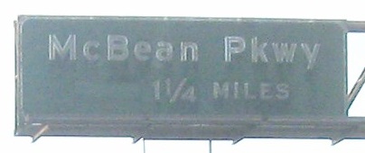
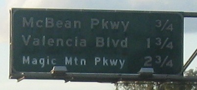
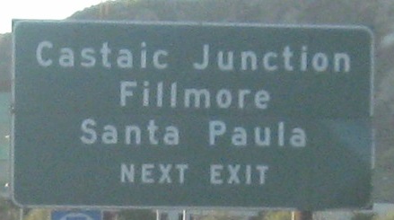
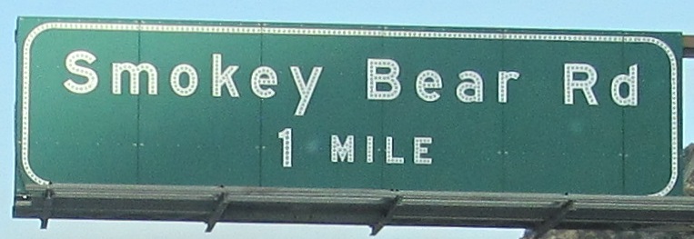
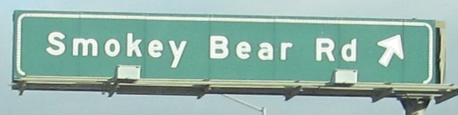
All but the first photo are ascending Five Mile Grade north of Castaic, a steep (for an Interstate) 6% slope built as part of US 99.
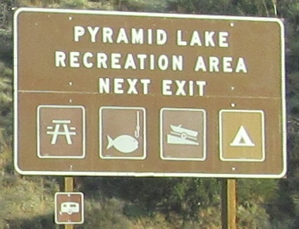
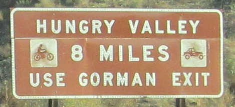
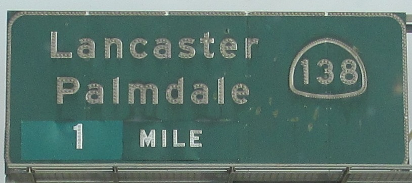
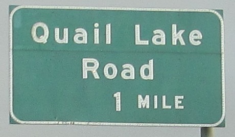
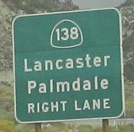
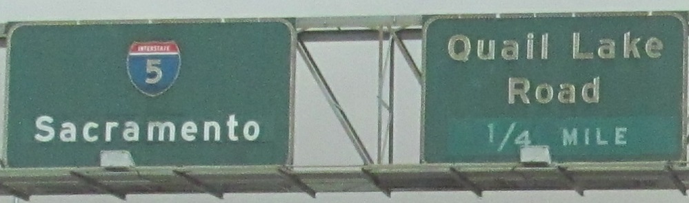
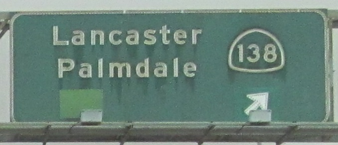
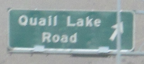
Starting at the end of the old Pyramid Lake US 99 alignment, to a 3-leg interchange at the west end of CA 138 where little Quail Lake Road gets ramps to every direction. The antepenultimate (3rd-to-last) photo is the left side of the same gantry as the penultimate.
Same deal with the last two photos here, left and right on the same gantry.
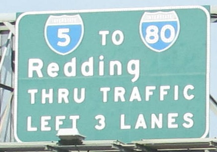
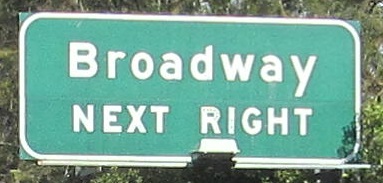
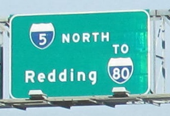
Remaining button copy at the I-5/Business I-80 interchange in Sacramento. No, the last photo isn't button copy, but it's older and poorly arranged. It's on the left side of a gantry that overhangs the beginning of the 3-lane exit ramp.
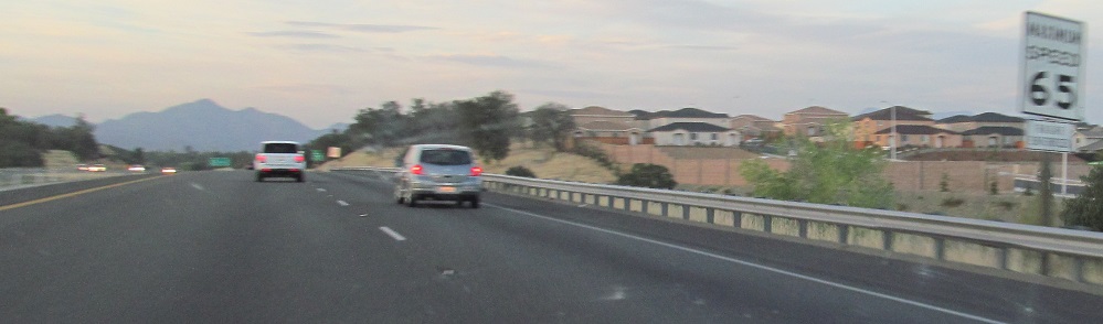
Almost all the "maximum speed" signs have been replaced by regular speed limit signs, so enjoy this relic from the 1990s. It's right where the left lane ends north of CA 44 in Redding.
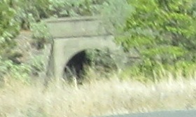
The arch is a railroad tunnel by Turntable Bay along Shasta Lake.
CA 99 NB and I-5/CA 99 NB
Back south on I-5 NB
Back to I-5 main page
Into Oregon on I-5
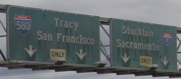
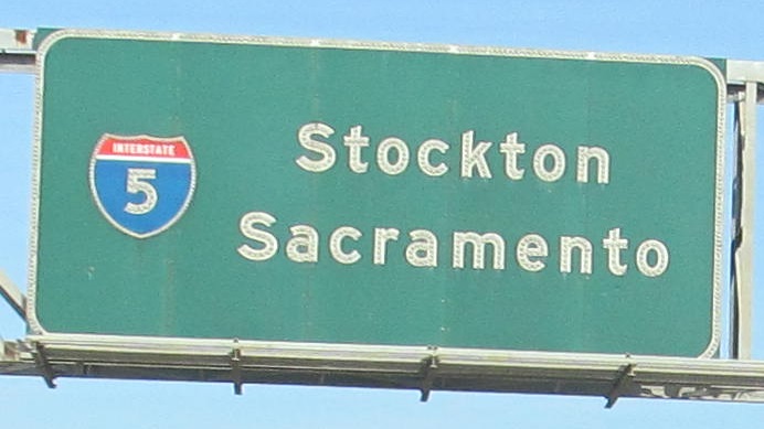
Exit 446 to I-580
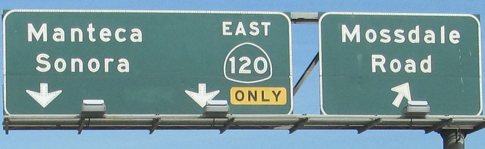
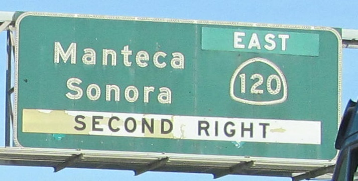
Exit 461 to CA 120
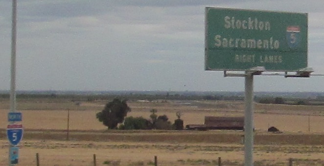
To I-80
Back to California Roads
Back to Roads