California Roads - CA 1 - LAX Apt.-Pt. Mugu
LAX Airport to Point Mugu
Photos are northbound unless otherwise stated.
The first photo atop the page is within LAX. These are leaving the airport grounds, a pair of photos that are left and right on the same respective gantries. The lights appear to have been stolen from the second assembly, because why would the state remove them from one but not the other?
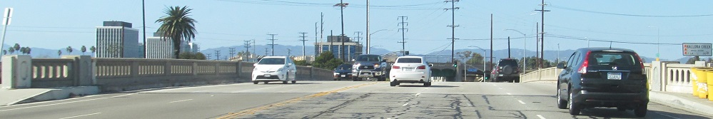
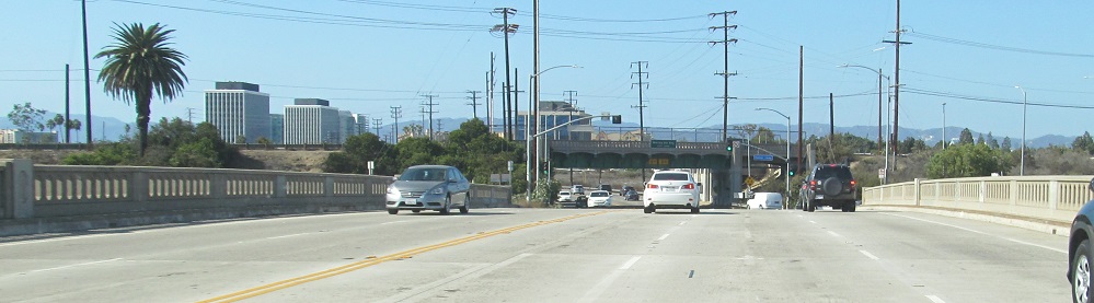
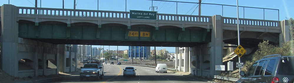
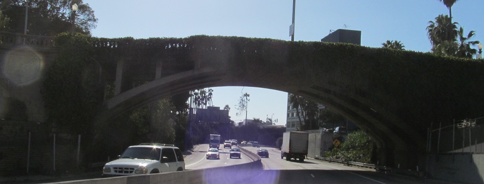
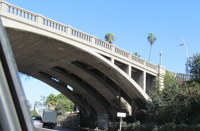
Across Ballona Creek and under Culver Blvd.'s 1933 overpass. Don't worry, the marina sign is not button copy.
Enjoy some SB button copy.
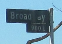
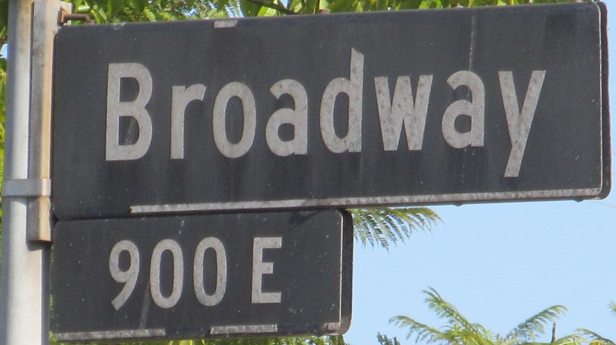
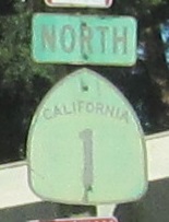
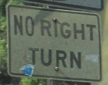
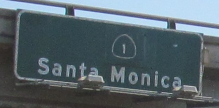
CA 1 in Santa Monica was given back to the city, which may be why this street sign has never been replaced. The clearer photo is the SB face.
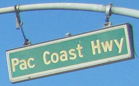
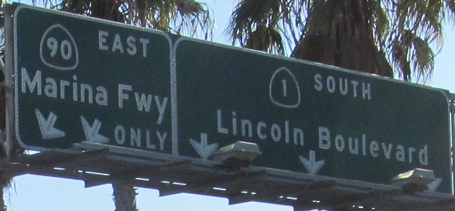
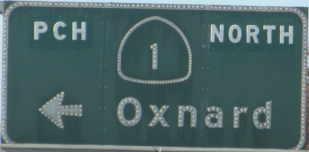
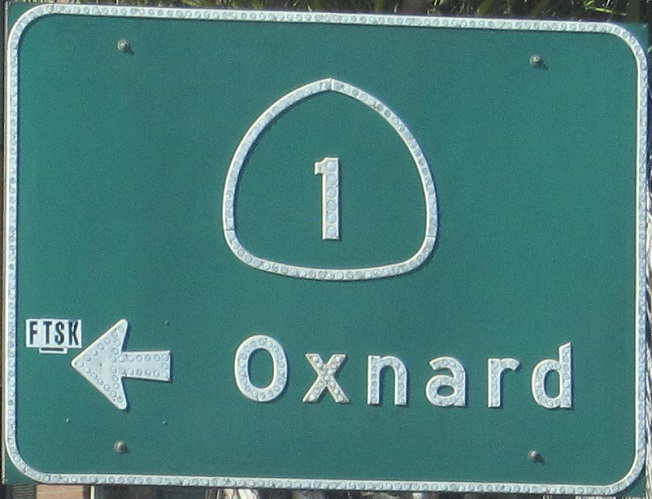
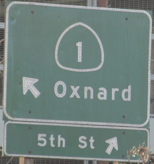
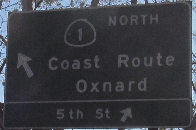
More Santa Monica signs, new (city) and old (former state) for the airport.
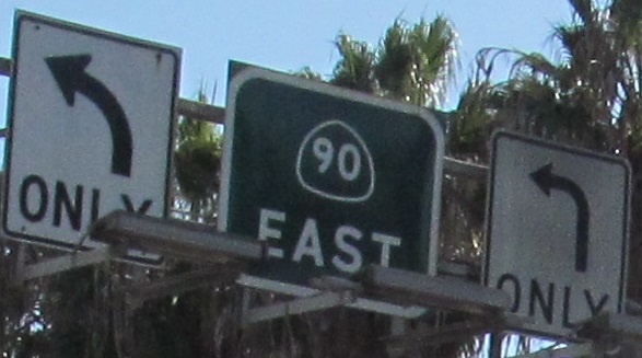
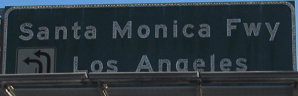
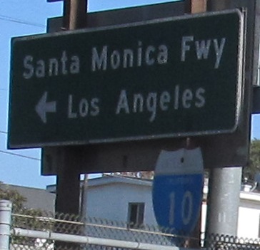
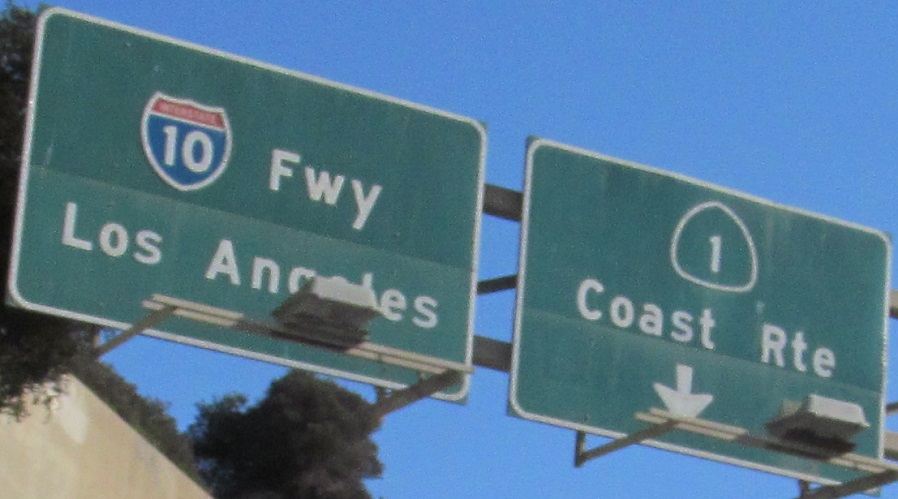
I-10 officially ends at CA 1, although the Santa Monica Freeway continues west for a little bit with CA 1 on it. The second sign, above and to the left of the last one, couldn't possibly have been patched, right?
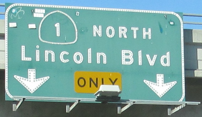
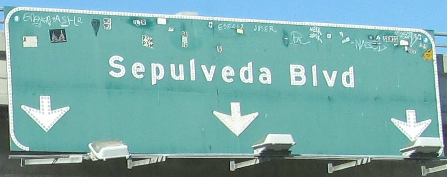
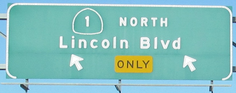
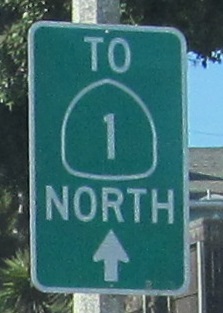
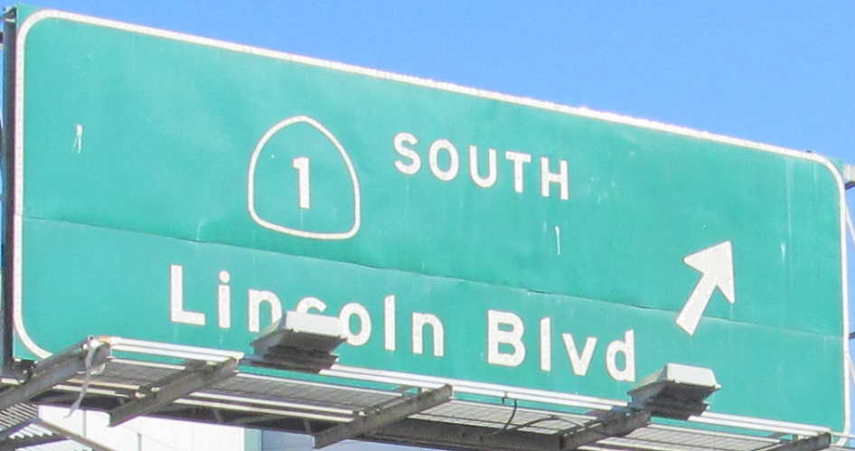
This is really Lincoln Blvd. SB, nothing CA 1 SB traffic would see exiting the freeway, but since CA 1 officially picks up at the freeway centerline, the second photo is technically already on 1.
After CA 1 turns left, it takes an onramp to the freeway.
CA 1 on the Santa Monica Freeway, NB (west) and SB (east) under Main St.
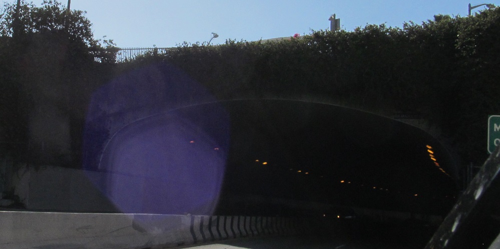
The WB freeway (CA 1 NB) enters the 1939 Robert E. McClure Tunnel just before it ends.
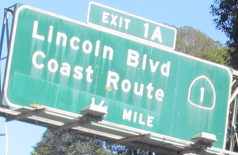
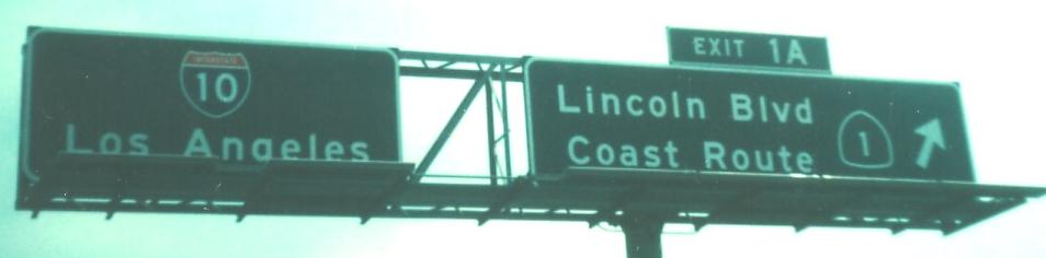
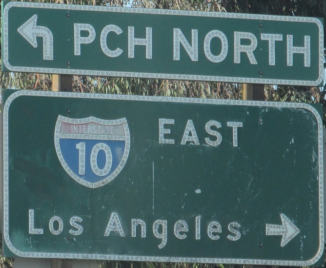
CA 1 SB turns into a freeway, heads through a tunnel, and suddenly becomes I-10 EB. To avoid that, CA 1 exits quickly at Exit 1A. The second photo was at the exit in 1976, courtesy Michael Summa, while the second is modern. If you're not familiar with California highways, they have just taken up exit numbering after 50 years of resistance, but a little-known experiment about 40 years ago actually led to exit number plaques on various signs around L.A., obviously including this one.
The last turn just before the tunnel is a ramp with button copy on both sides.
The first signal west of the freeway is at California Incline, which heads uphill to the sharp right.
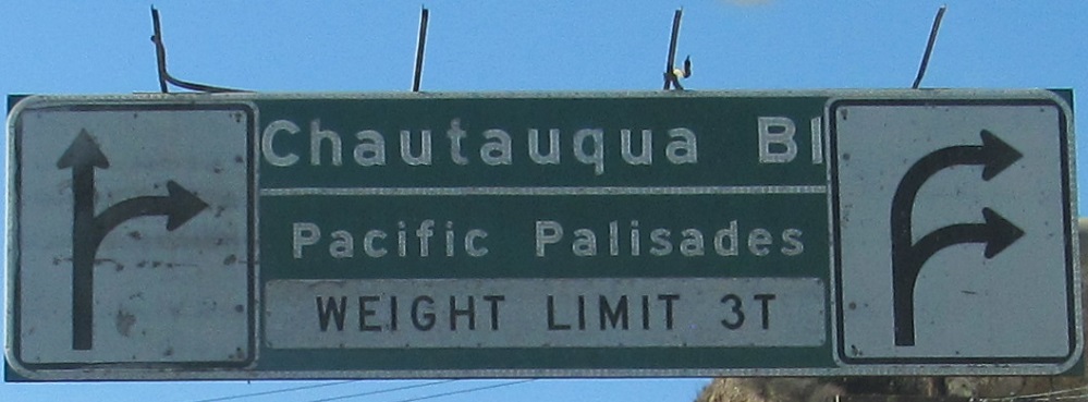
The green sign is for the Santa Monica Central Business District, which is left up California Incline for SB traffic. I feel like it's unsafe on the PCH to try to decipher that sign while driving.
NB and SB in the fake Palisades (which only New Jerseyans get to say).
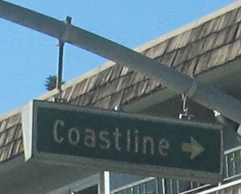
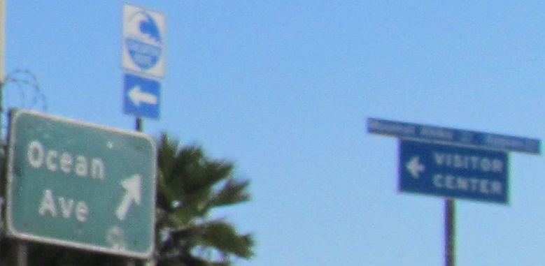
But when I'm heading north, the coastline is to the left? This is Coastline Dr. in Malibu, the same city as the second photo atop the page (at Webb Way).
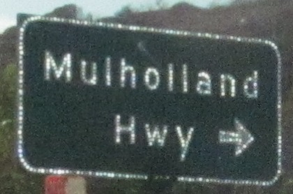
Up to the west end of the scenic Mulholland Highway.
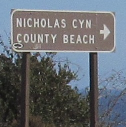
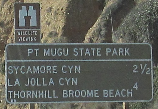
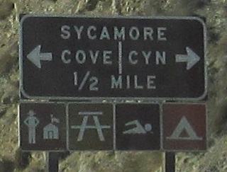
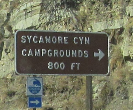
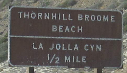

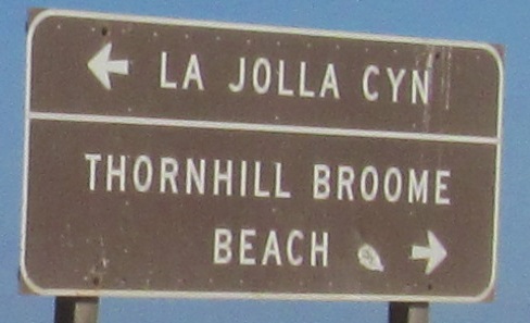
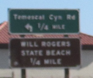
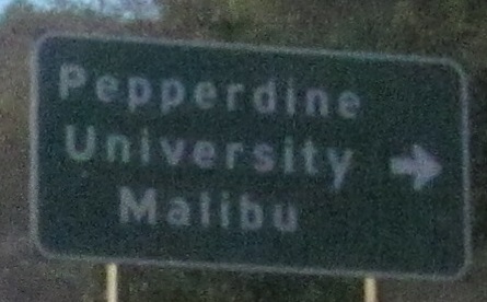
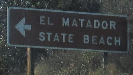
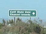
One SB sign and a bunch of NB ones along the scenic coast.
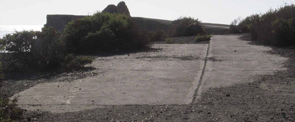
An old alignment shows its face at Pt. Mugu. It's eroded past here, which is why the highway is now a few feet to the east.
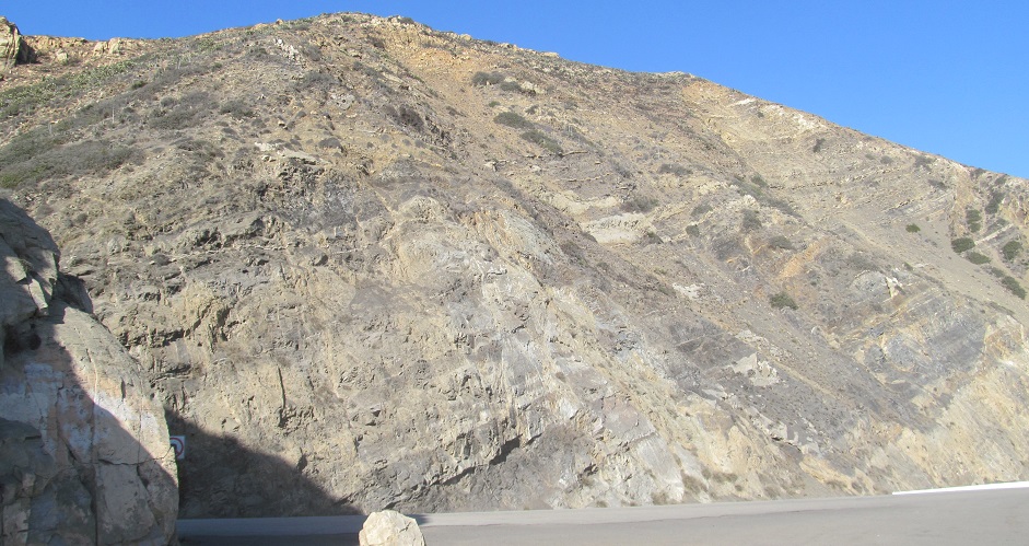
This is the PCH's cut looking east from Pt. Mugu Rock. I said this page ends at Point Mugu but I'm not quite done here yet.
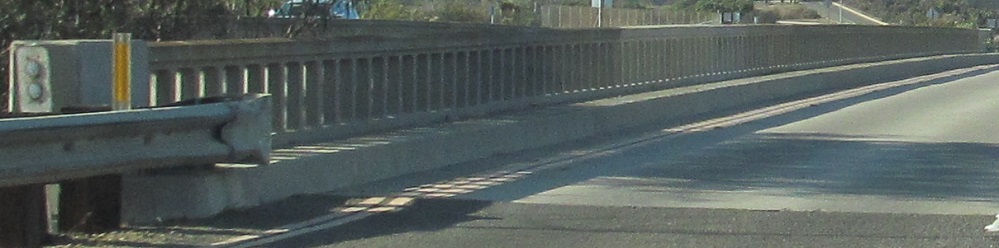
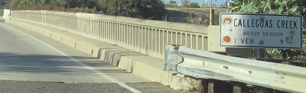
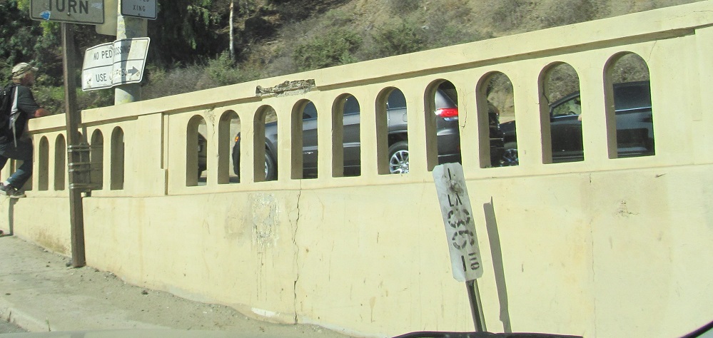
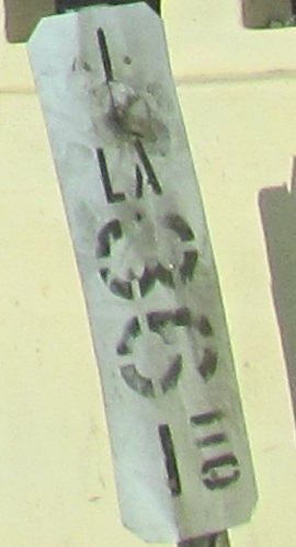
Notice the old reflector on the left parapet over Calleguas Creek.
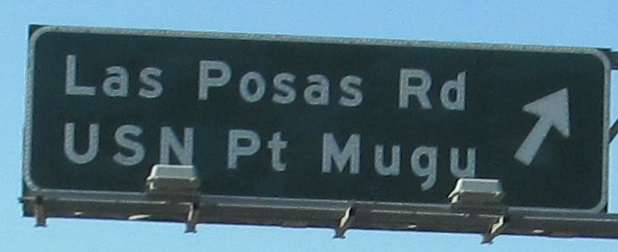
This Pt. Mugu exit is now numbered 107. The tiny sign is button copy on the ramp.
 Las Posas Rd. WB over CA 1.
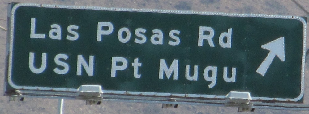
SB signs at the exit and mounted on its bridge. Now I'm done at Point Mugu.
Continue north on CA 1
Back south on CA 1
Back to CA 1 main page
Onto I-10
Back to California Roads
Back to Roads