British Columbia Roads - TCH 1 - Vancouver Island
TCH 1 on Vancouver Island
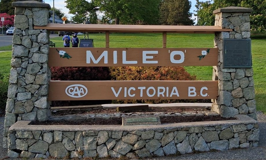
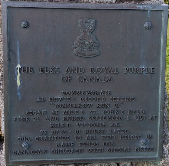
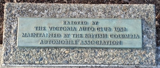
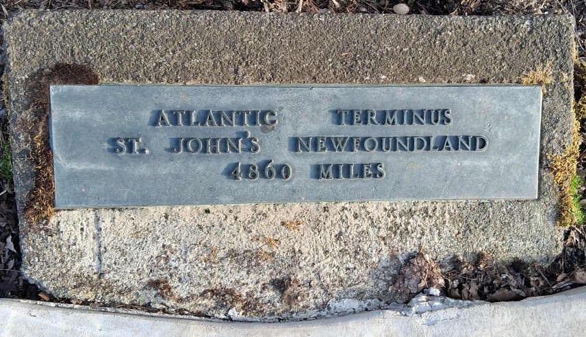
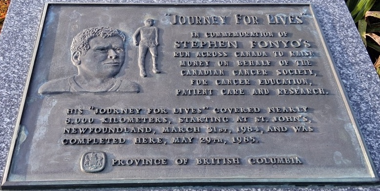
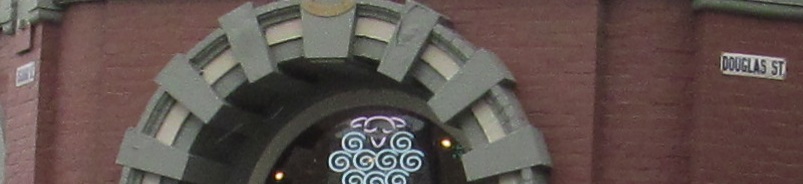
Courtesy André Luboff, this is what everyone theoretically comes to see in Victoria, right? I probably saw it as modern wood and decided not to stop, but I think the details he provided are worth sharing. The 2nd and 3rd photos are closeups of the first, the 4th is on the reverse, and the last photo is on the (modern) statue you see in the back. All are right at the base of Douglas Street at the Salish Sea beach.
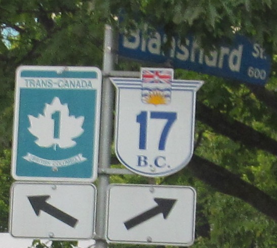
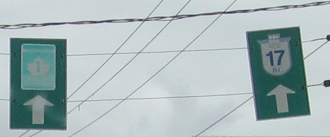
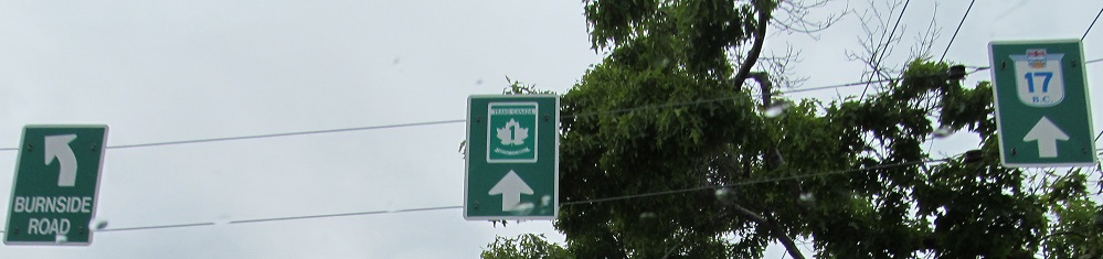
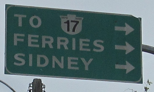
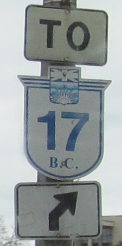
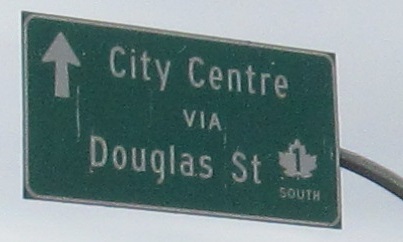
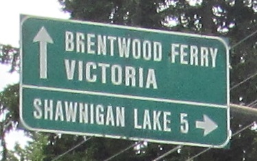
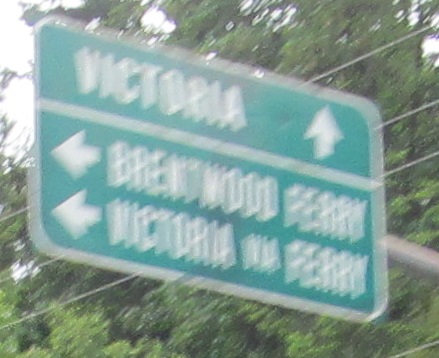
From the moment BC 17 begins in Victoria, there are at least these 5 references to it on TCH 1 NB. If BC 17 is on Blanshard St., why don't you tell people to turn there instead of keeping them on TCH 1? Finally, the ancient sign says to use Cloverdale Ave., but then of course there's still another one for Saanich Rd. These signs are so insistent because BC 17 is the most direct ferry from Victoria to Vancouver (Swartz Bay to Tsawwassen), vs. staying on TCH 1 toward Nanaimo.
These enamel street signs are stuck onto the Beehive Wool Shop at Fisgard St. The one on the left says "Fisguard."
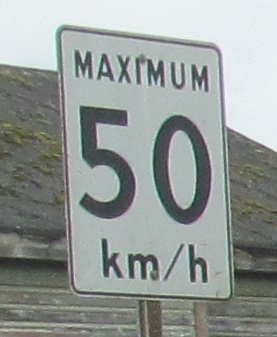
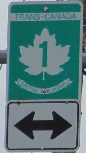
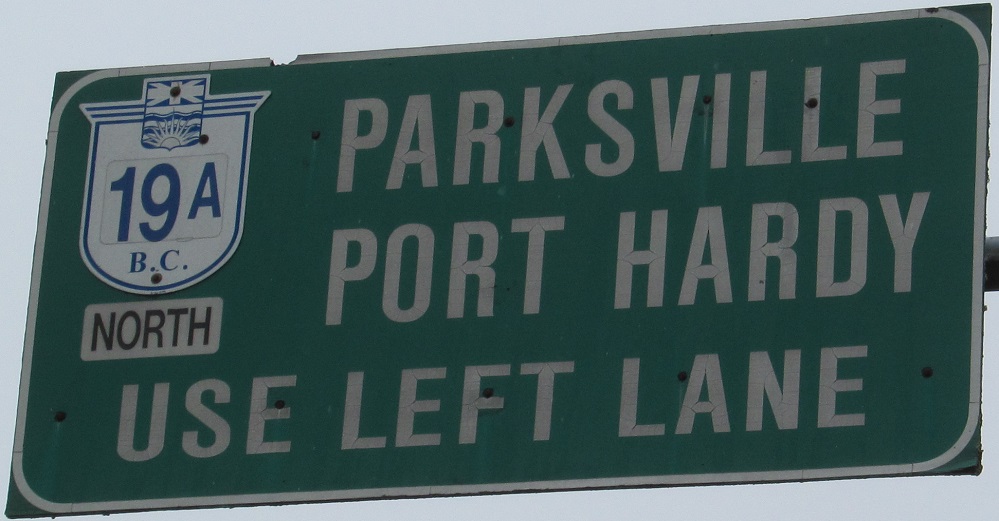
A SB sign entering the city. Through all the provinces, TCH 1 is only signed north-south on Vancouver Island.
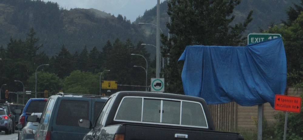
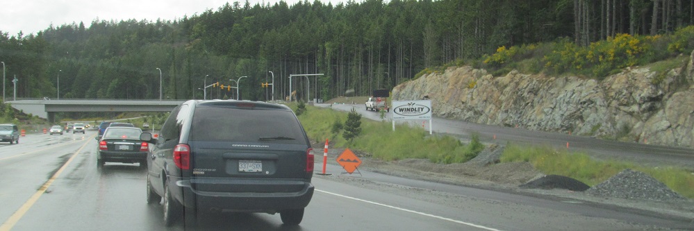
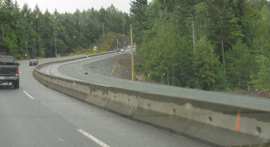
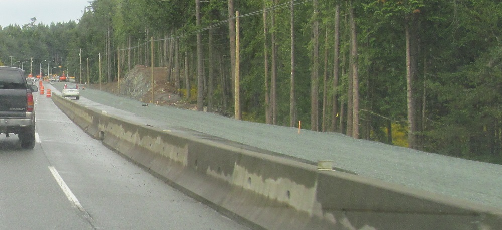
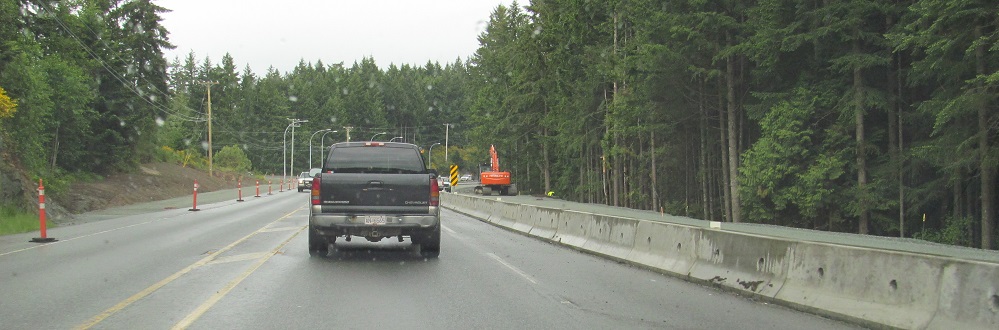
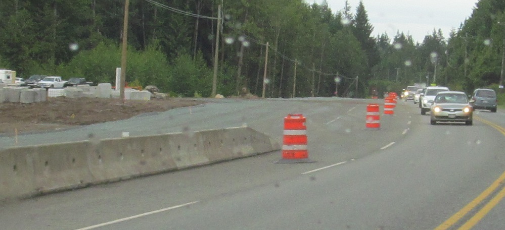
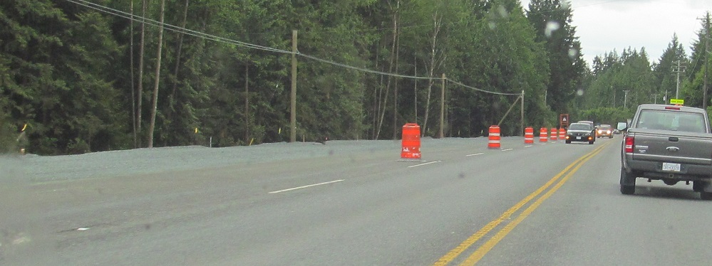
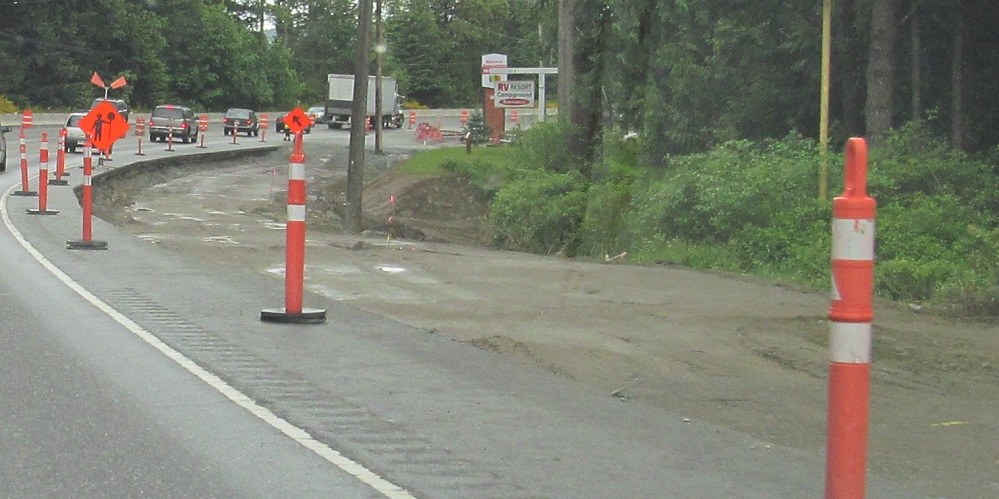
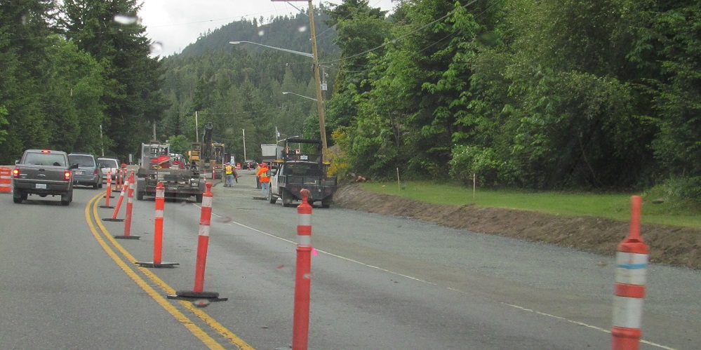
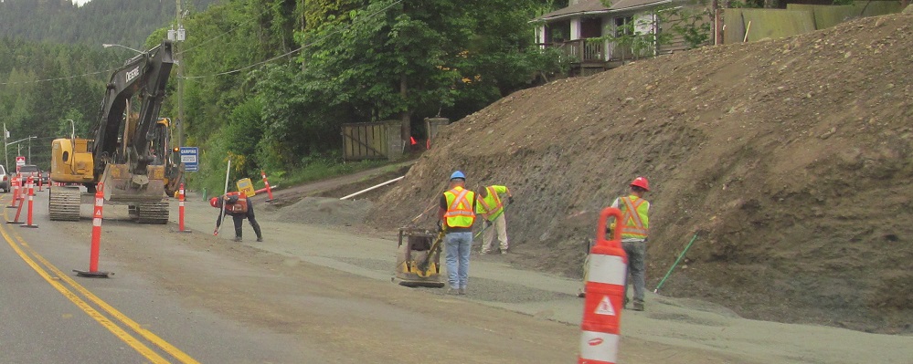
I would say Spencer and McCallum Roads in Langford were being given an interchange in 2013, but that is doing the word "interchange" a disservice. There is now a single NB ramp to McCallum Rd. Spencer Rd. dead-ends with a maintenance-only ramp onto TCH 1 SB. Everyone else has to use Exit 16 at Leigh Rd.
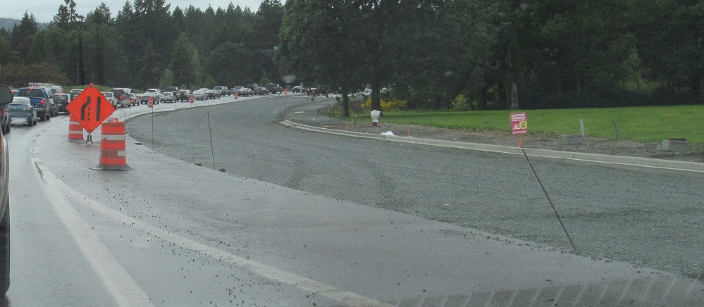
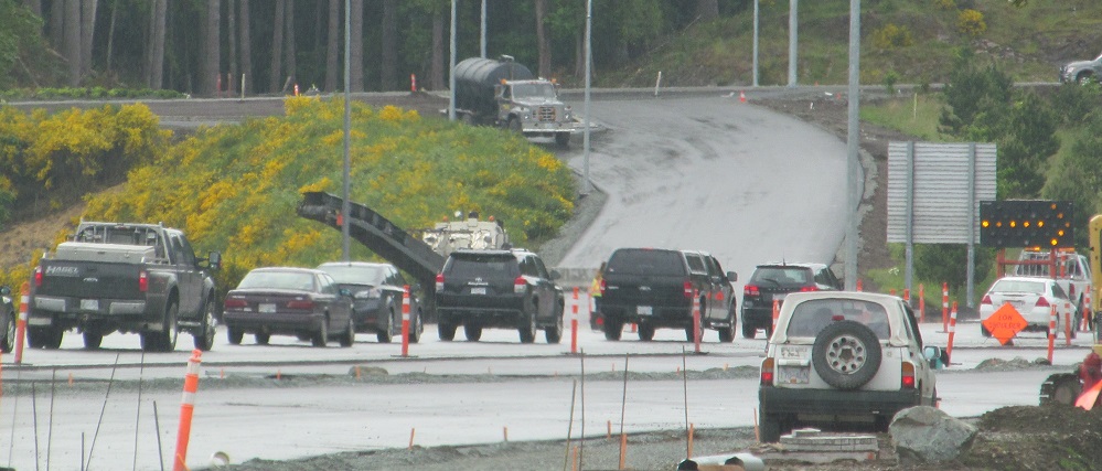
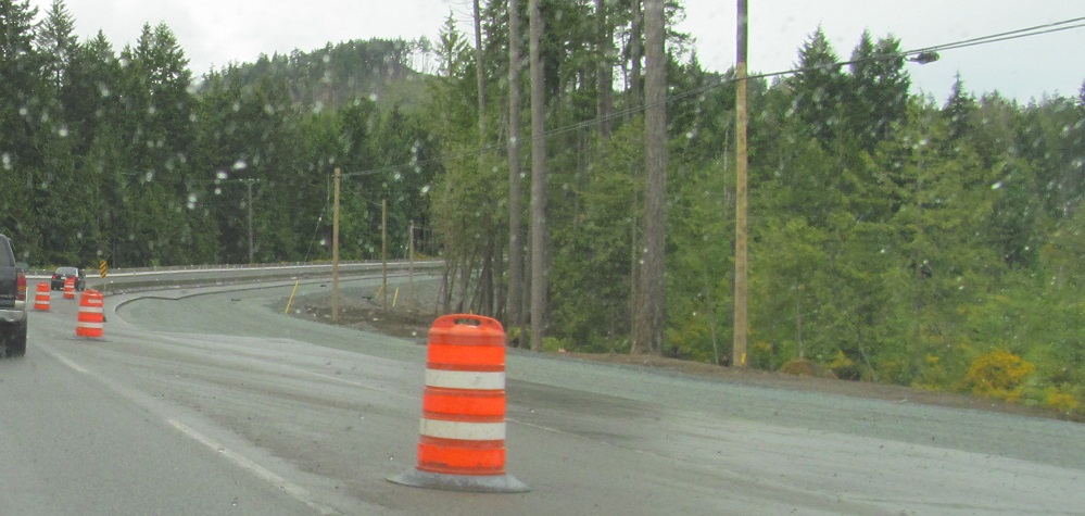
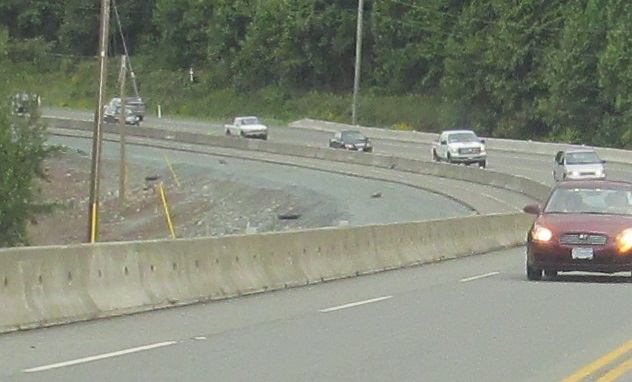
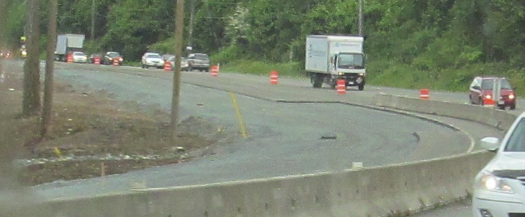
This is PM rush hour traffic by the future Leigh Rd. SB onramp. You can see why these interchanges are needed.
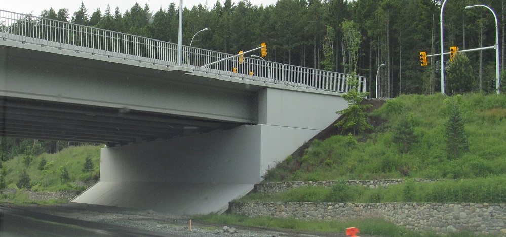
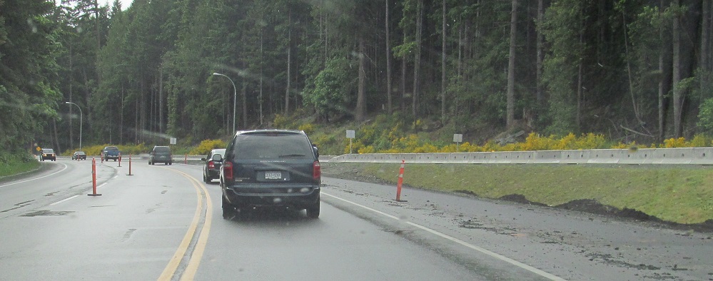
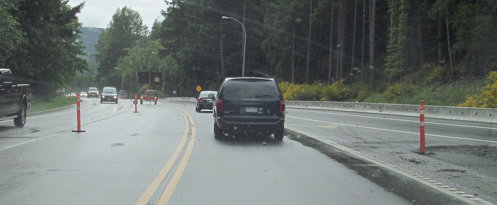
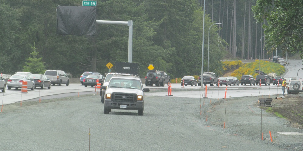
Continuing north through future Exit 16. This is the final roadway configuration; 2 NB lanes merge into one just after the Exit 16 offramp. I'm sure that these queues we see now from a lane drop will magically disappear somehow.
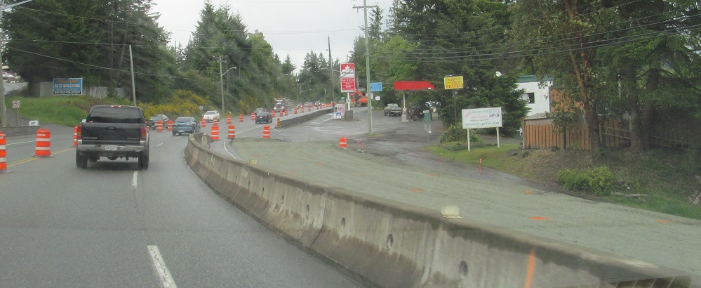
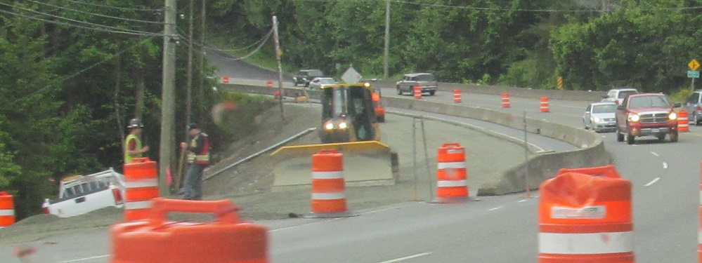
The next widening area is around Malahat, creating another 4-lane divided section. By 2020, that section goes all the way south to Goldstream. Perhaps someday, the missing 4 km of dualized highway can be completed? Please?
Scenes from downtown Nanaimo: slow SB speed and shield on a signal mast arm, both on Terminal Ave.
SB through Malahat from Shawinigan Lake Rd.
SB in Mill Bay at Shawinigan Lake-Mill Bay and Deloume Roads, respectively (consecutive signals).
 NB, same spot.
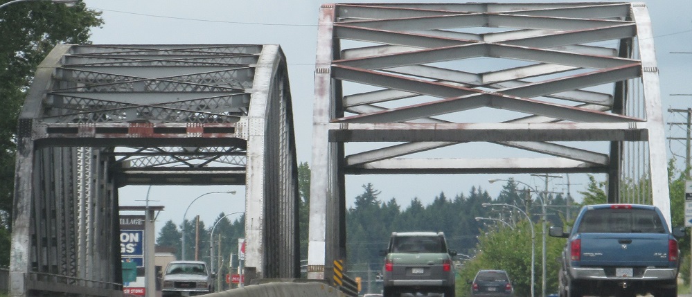
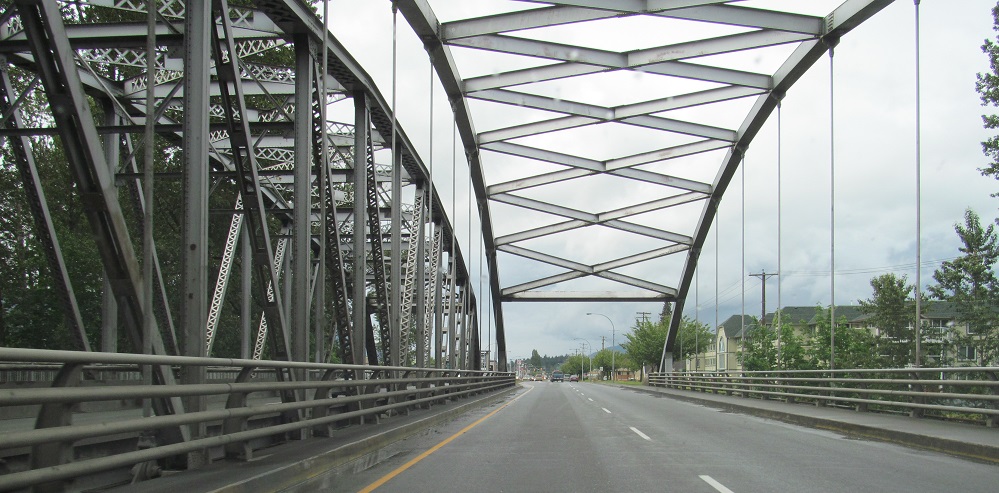
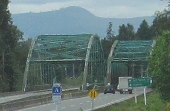
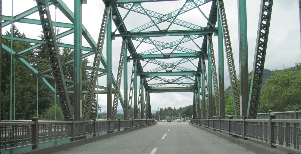
Continuing NB across the Cowichan River into Duncan. The original bridge was clearly SB, with the NB bridge added when this stretch of TCH 1 was dualized in the 1970s.
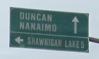
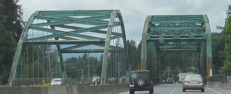
SB sign, NB bridge in Duncan.
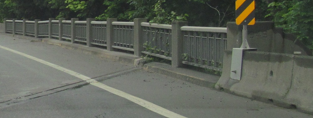
This SB railway bridge south of Westholme is showing every year of its 1949 age.
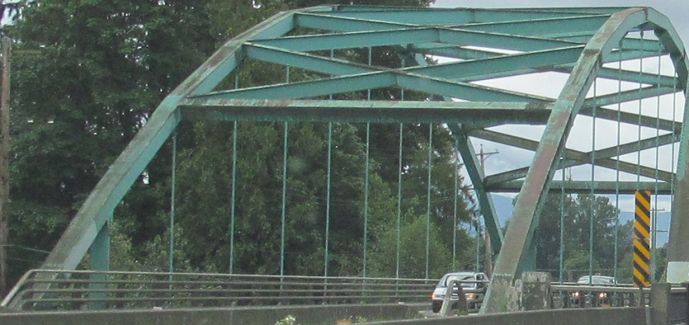
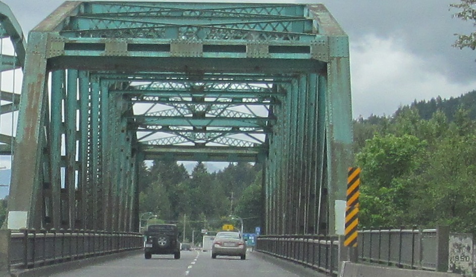
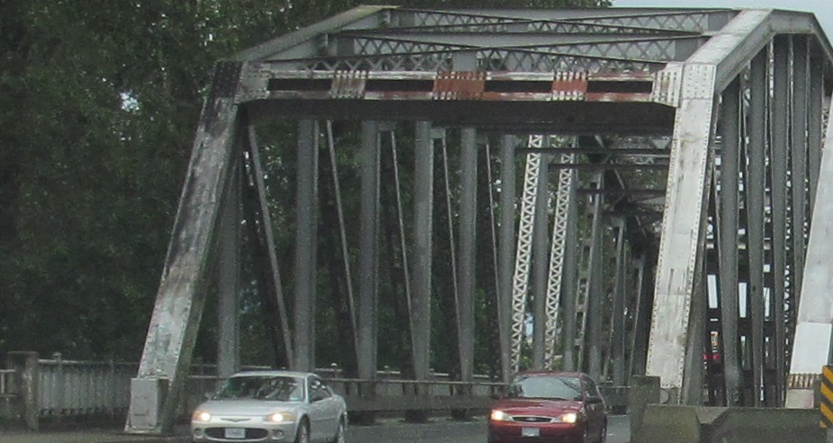
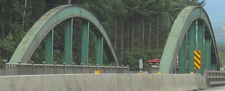
On the other hand, the 1950 SB bridge across the Chemainus River is aging beautifully. Like at the Cowichan River, the newer NB bridge is a 1970s-vintage arch that doesn't quite match the original truss.
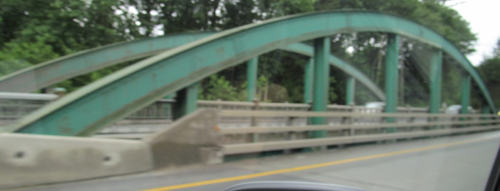
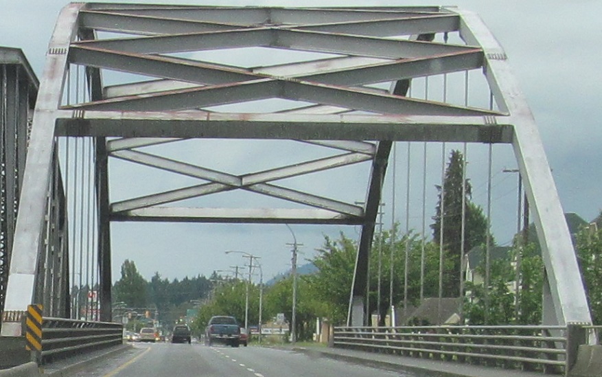
One more original NB bridge, across Haslam Creek, seen from the SB lanes.

The Millstone River bridge just south of the Terminal Ave./Stewart Ave. split, seen looking north, south, east, and west.
Signs (and spruces) get strange on Stewart Ave. as TCH 1 NB heads for the ferry. These can't possibly be erected by the province, but here they are on a provincial highway.
This ancient sign is the last turnoff before the ferry, at Brechin Rd. It predates the Nanaimo Pkwy. divided highway bypass that BC 19 now follows.
Take the ferry to the mainland
BC 1A, former TCH 1
Back to TCH 1 main page
Onto BC 17
See more of Vancouver Island
Back to British Columbia Roads
Back to Roads