British Columbia Roads - BC 97 - Quesnel and S.
BC 97, Quesnel and south
Photos are northbound unless otherwise stated.
BC 97 heads north from TCH 1; see the big link at bottom for photos from that concurrency.
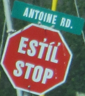
Across the Bonaparte River, and a unique stop sign on Bonaparte First Nation property. The language here is Shuswap or, in their spelling, Secwepemc.
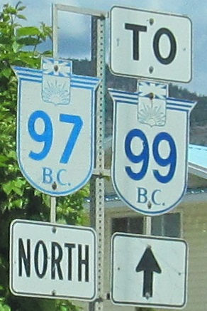
The scenic north beginning of BC 99 and, a half hour later, the north end of a BC 97 old alignment.
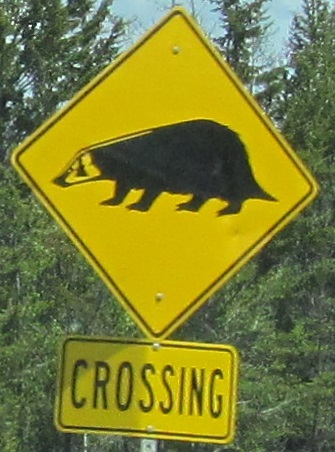 Honey badger don't care. Regular badger might.
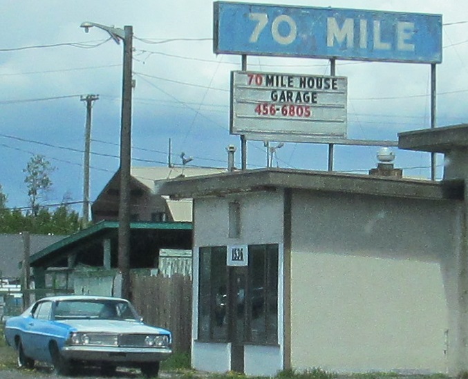
The 70 Mile House has been around since 1952, before Canada went metric. It's 70 miles north of Lillooet, the historic beginning of the Old Cariboo Road, the predecessor of Cariboo Highway that takes BC 97 from Cache Creek to Prince George. Lillooet is now on BC 99 and the old road no longer exists (or follows the path of the railway from Pavilion to Clinton).
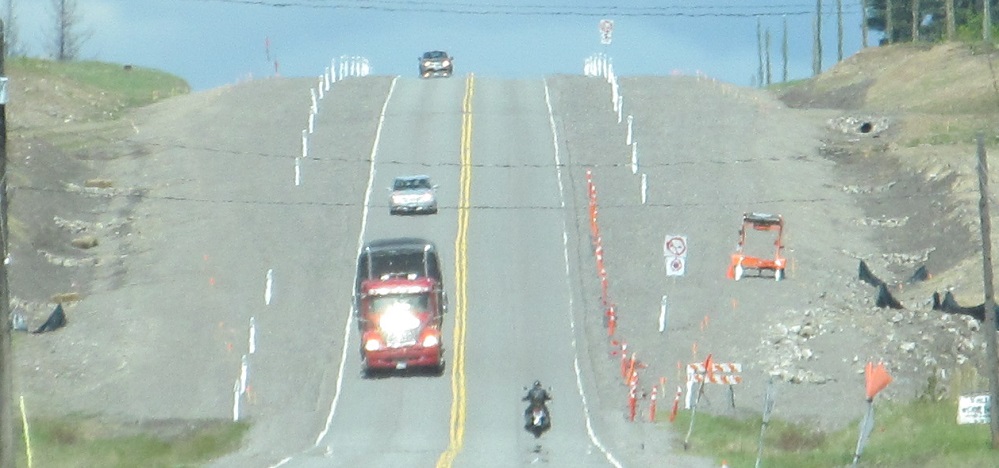
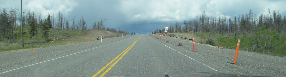
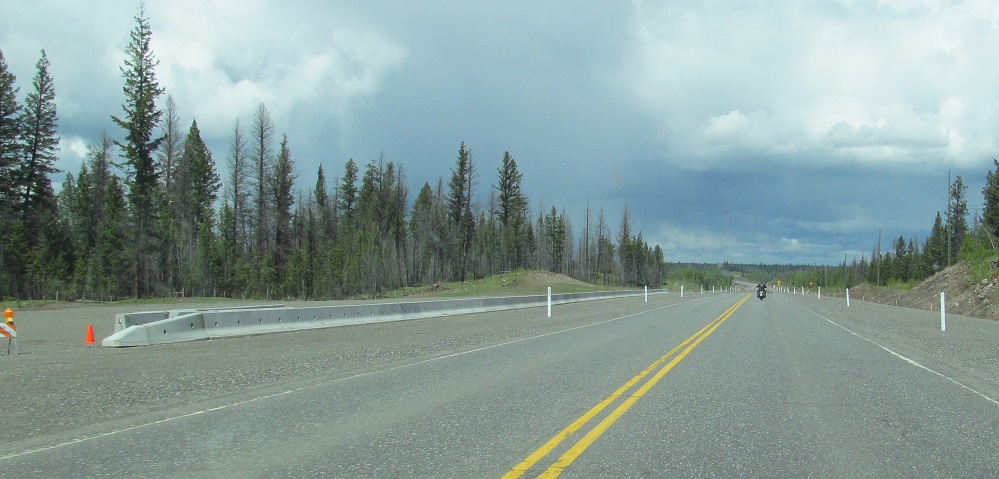
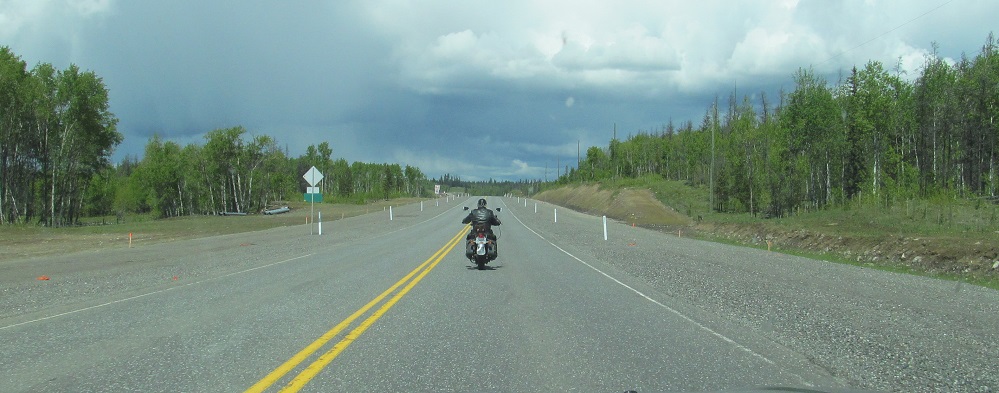
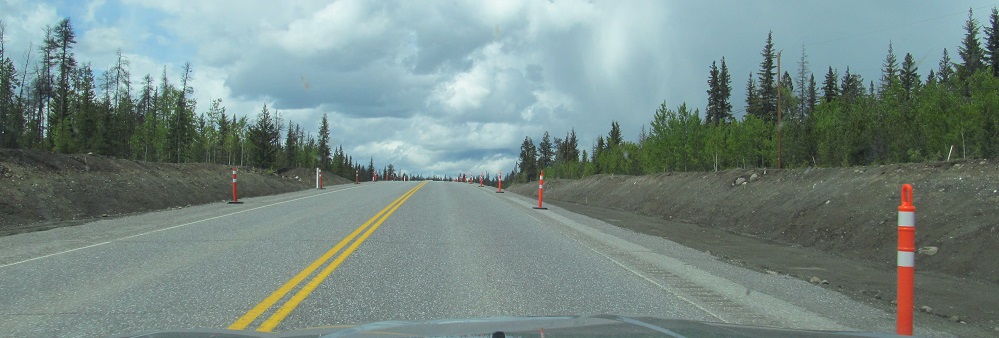
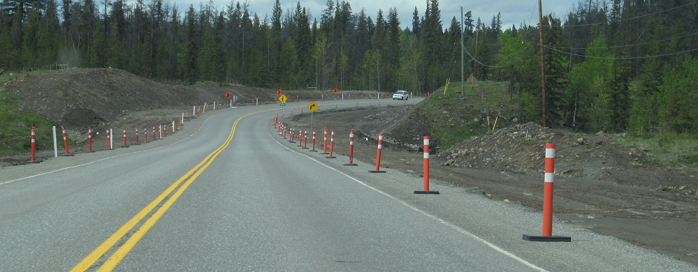
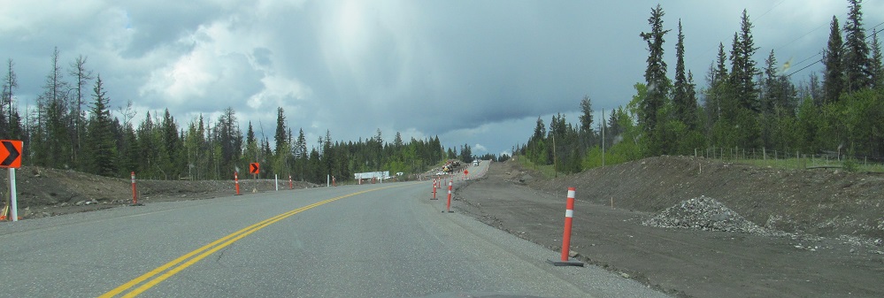
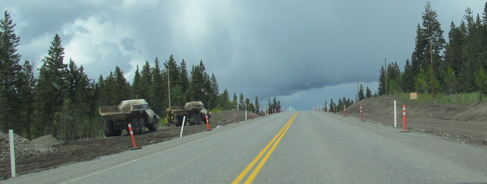
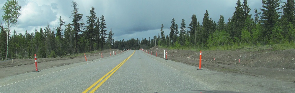
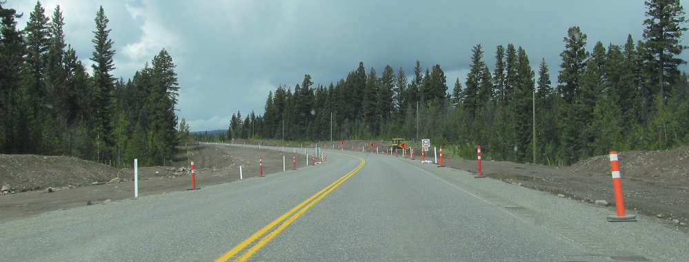
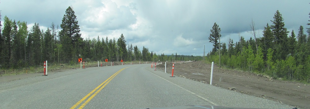
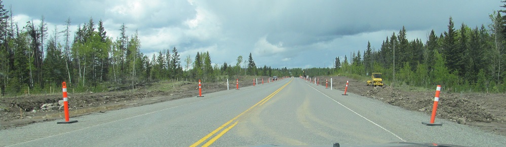
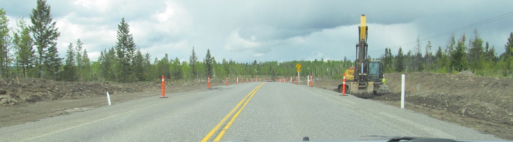
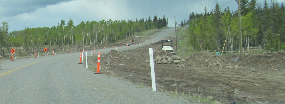
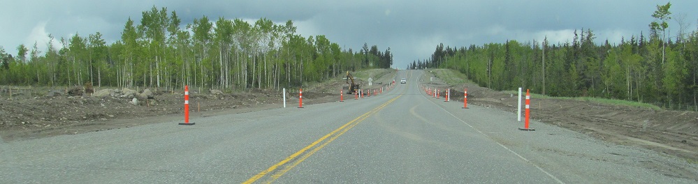
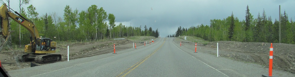
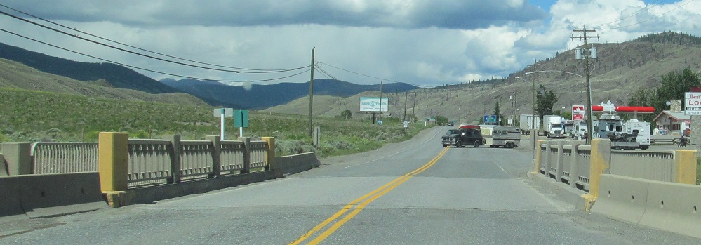
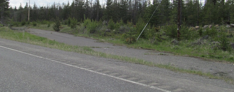
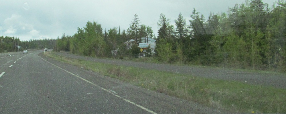
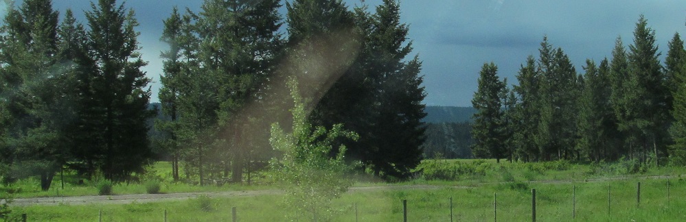
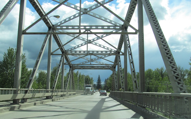
In 2013, BC was in the process of 4-laning BC 97 north of 70 Mile House for about 14 km, tying into another 17 km of 4-lane north of that point. I'm not sure if the intent is to eventually 4-lane the entire Cariboo Highway, but work was underway near Prince George to extend the section south of there as well (which you'll see on the next page north). The barrier on the left in the 6th photo is for the Loch Lomond rest area.
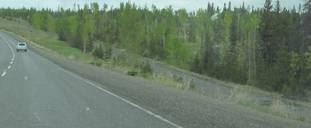
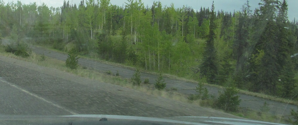
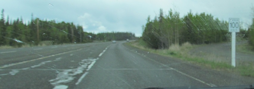
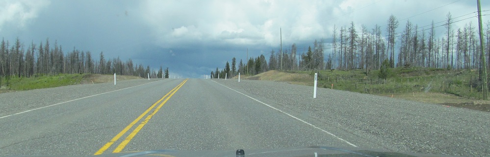
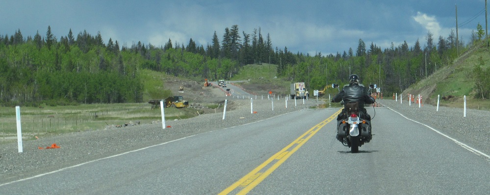
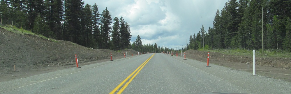
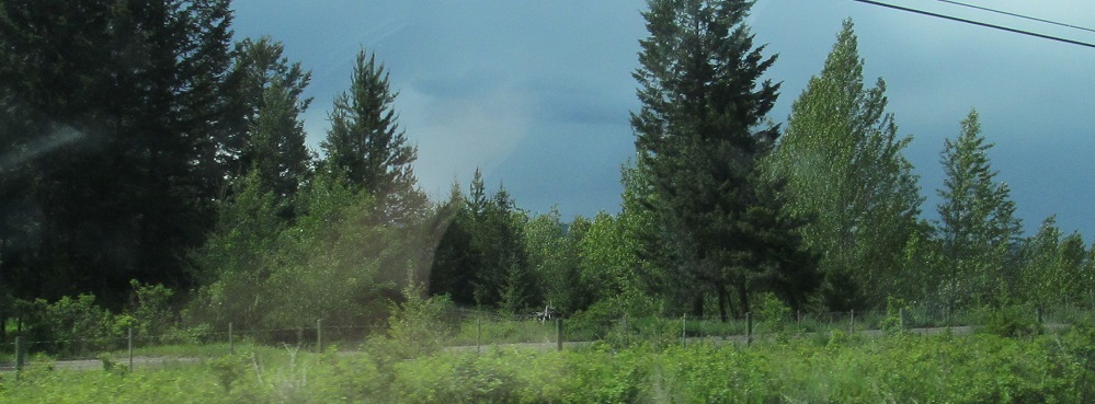
The existing 4-lane stretch follows some new alignment, breaking up the old highway into several old alignments. These photos are about 5 km after the end of the work zone.
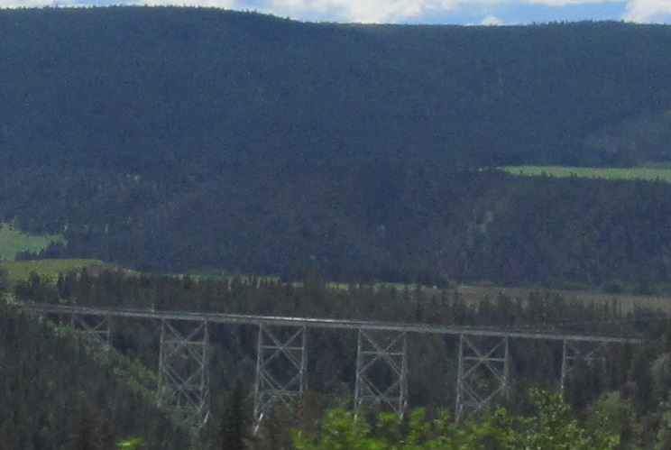
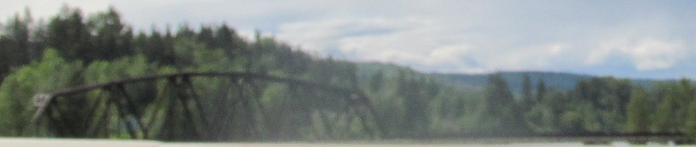
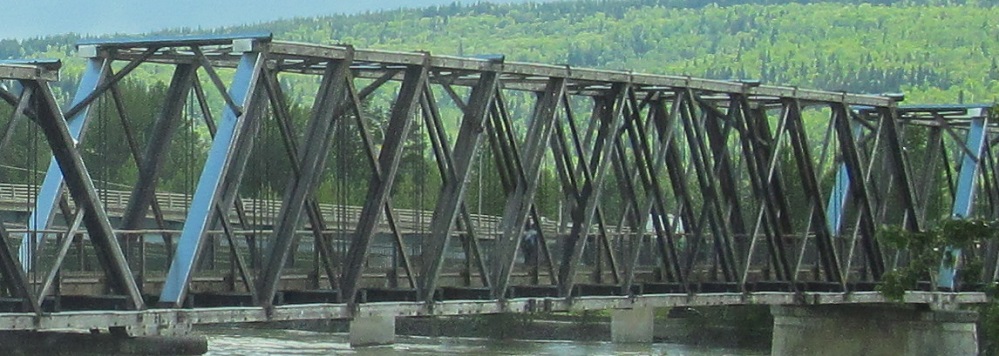
The CN Railway crosses Deep Creek on this truss south of Soda Creek, looking west from BC 97.
An old Cariboo Highway alignment on the left near Alexandria.
Does this reverse colour scheme in Kersley grab your attention? I don't think it makes much difference vs. the standard white on green.
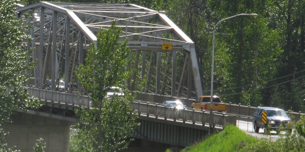
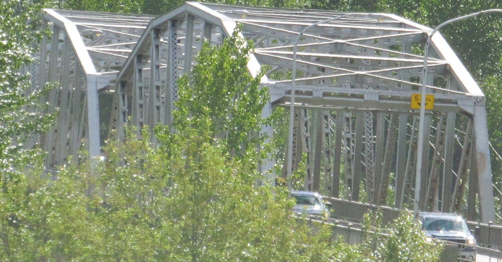
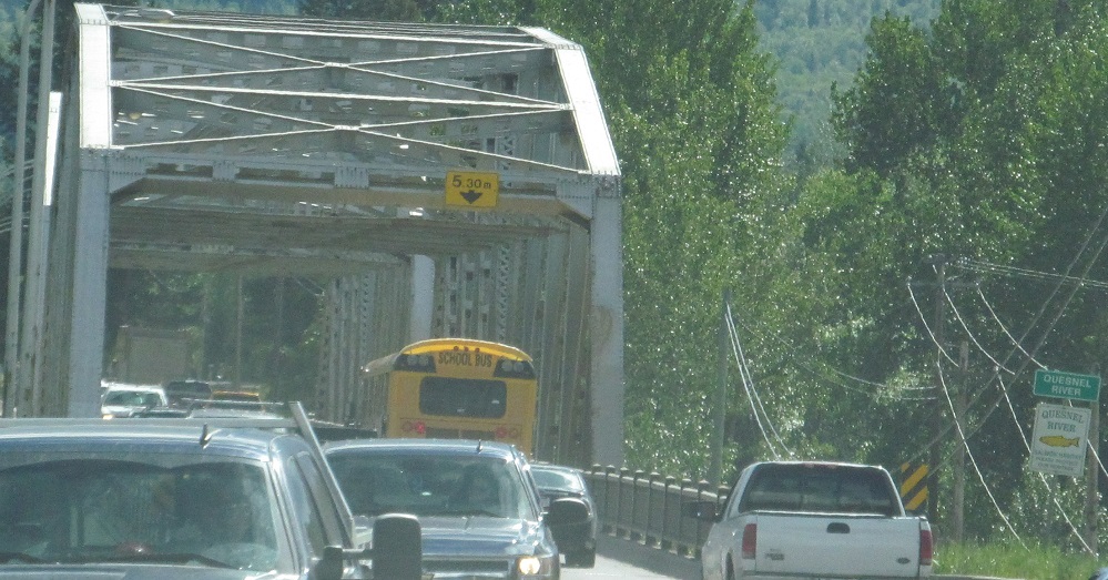
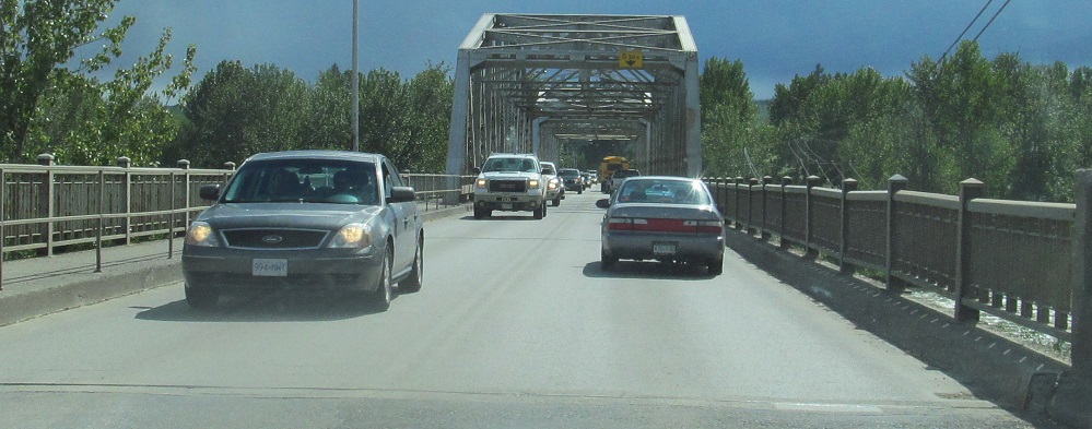
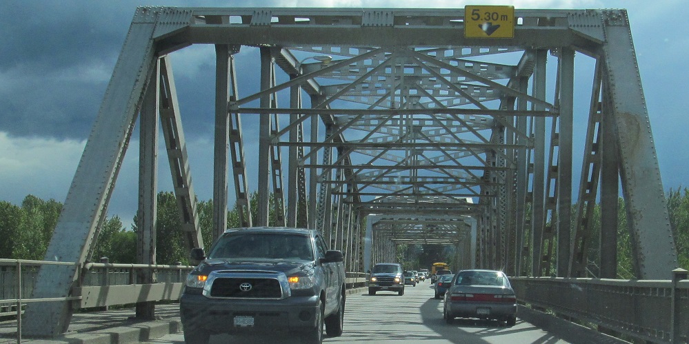
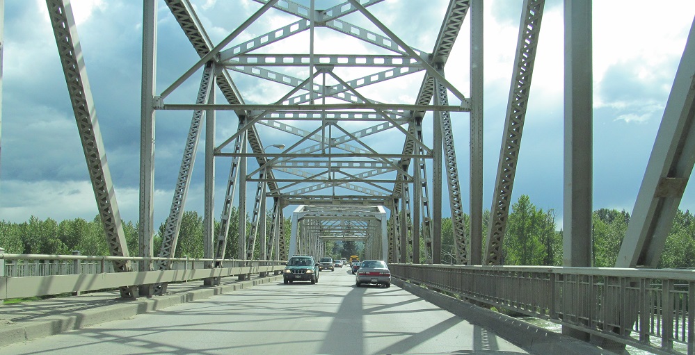
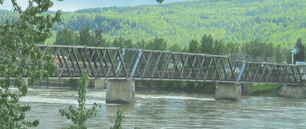
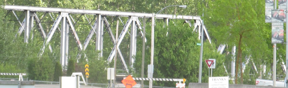
Entering Quesnel across the Quesnel River. The truss to the west is a railway serving a paper plant.
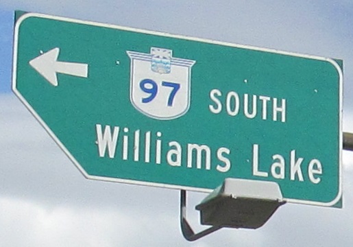
Why was this sign notched?
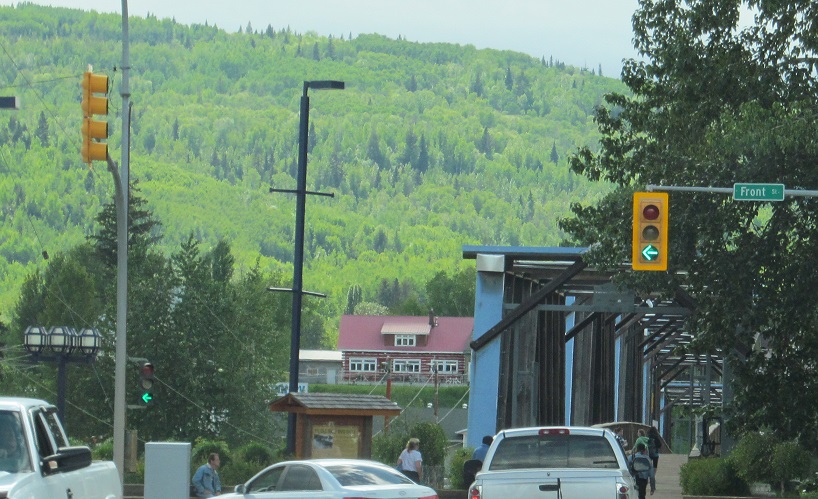
NB through downtown Quesnel to the 1929 Fraser River Footbridge. It's always been a footbridge with just enough room for emergency vehicles, but never used for general traffic. It has its own page linked below.
SB in the same area. The last photo is the main CN line crossing the mouth of the Quesnel River.
Mainland TCH 1 and BC 97/TCH 1
Continue north on BC 97
Back to BC 97 main page
To BC 99
Onto the Fraser River Footbridge
Children routes BC 97C and BC 97D
Back to British Columbia Roads
Back to Roads