British Columbia Roads - BC 97 - N. of Dawson Creek
BC 97 (Alaska Hwy.) north of Dawson Creek
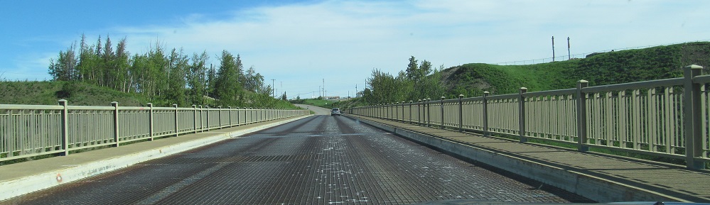
All photos but two were taken northbound.
Aging signs leaving Dawson Creek. If you were expecting to see Mile 0 photos for the Alaska Highway, that's on the Dawson Creek
page since BC 97 doesn't enter the town.
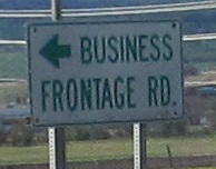 My first SB photo is another reverse-colour frontage road sign.
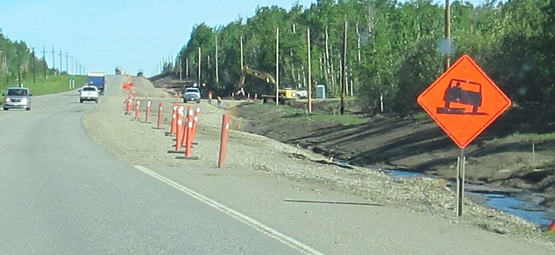
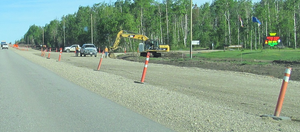
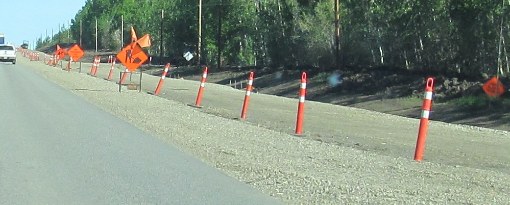
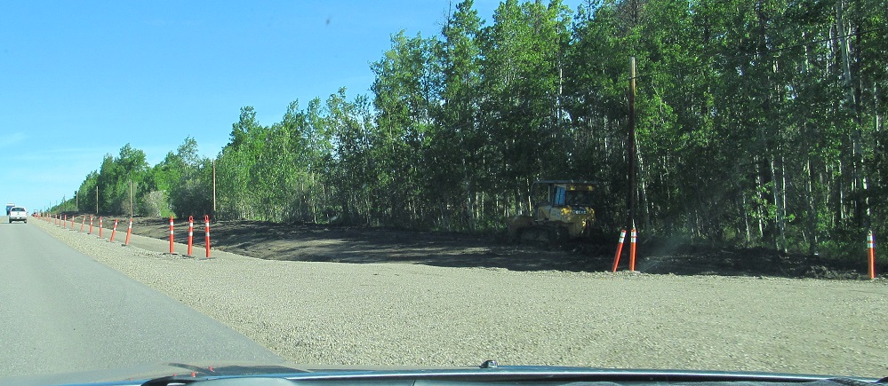
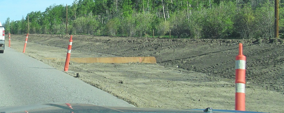
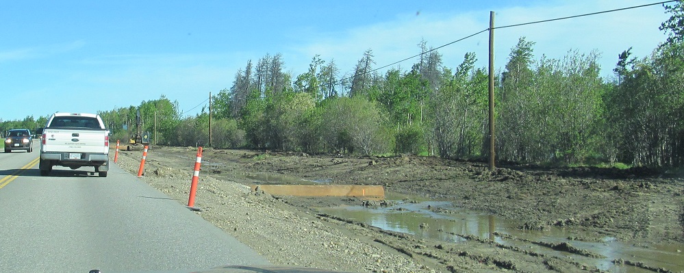
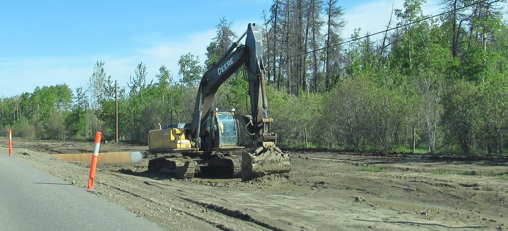
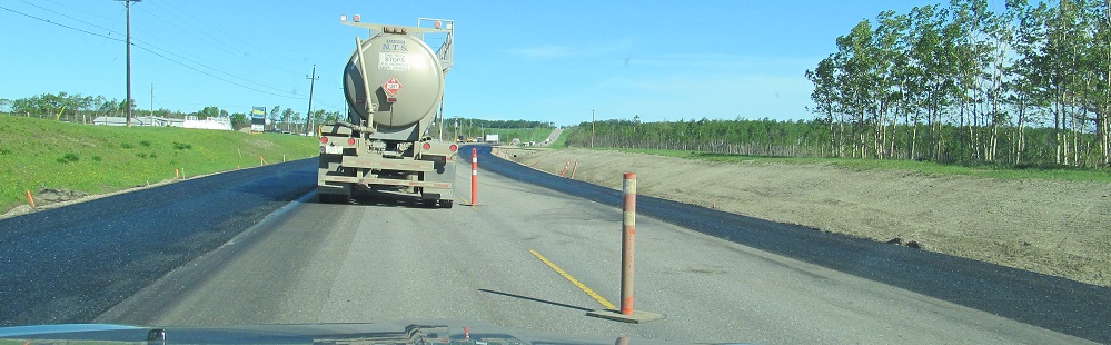
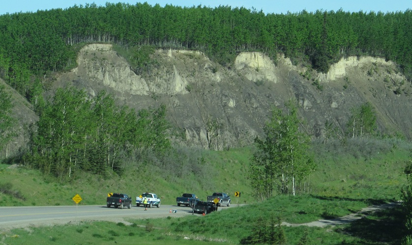
A few minutes north of there, BC was adding a NB passing lane and a SB left turn lane at Farmington Fairways. It's better not to drive outside the pylons when there's an exposed culvert, especially when the shoulder is a lake.
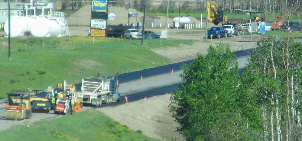
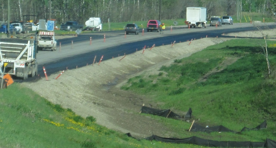
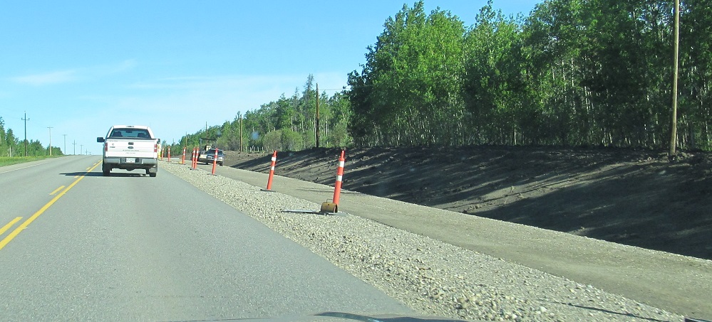
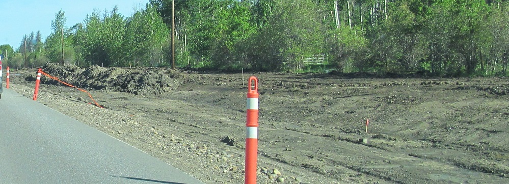
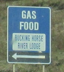
A few more kilometres, and a NB left turn lane goes in for the Farmington Store.
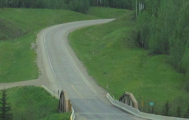
The power lines clue in an old alignment beginning to the right. This isn't just any old alignment. This one heads to the Kiskatinaw River and the famous wooden bridge that crosses it to this day. You'll want to check out the page linked at bottom.
How many old alignments can a highway have? I think this is just river access from the modern Kiskatinaw River bridge.
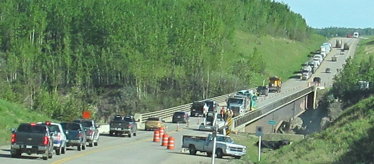
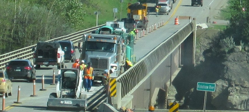
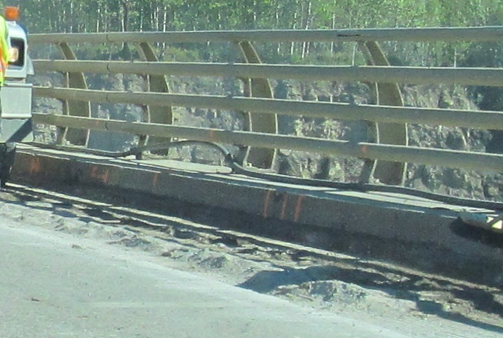
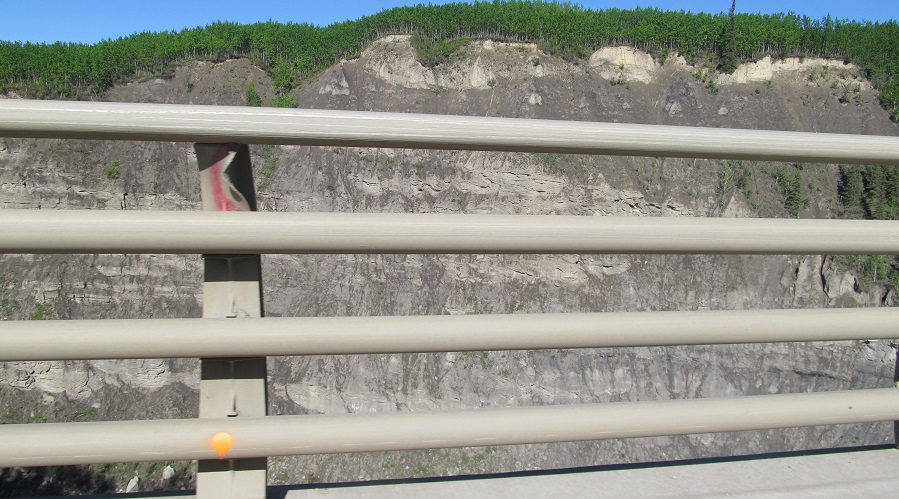
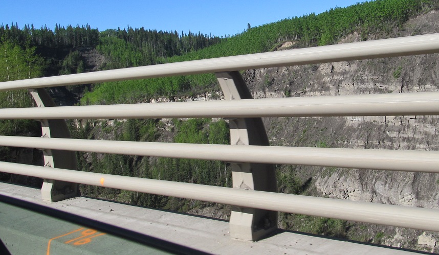
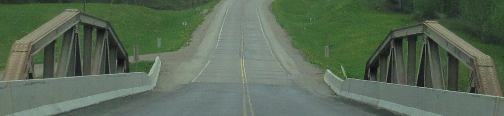
Speaking of which, this was one day crossing the old bridge would have been faster. The single-lane work zone for gutterline repairs gave me plenty of time to photograph the notched beam "arch" of BC 97 over the Kiskatinaw River and the rock formations to the west.
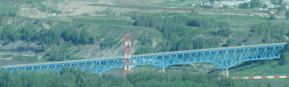
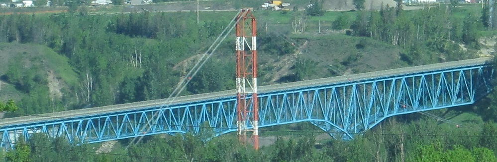
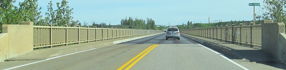
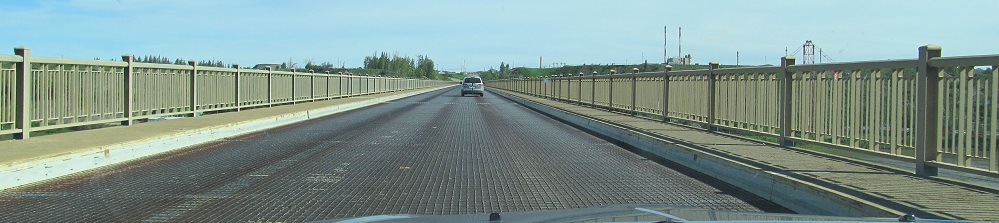
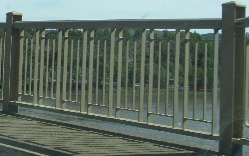
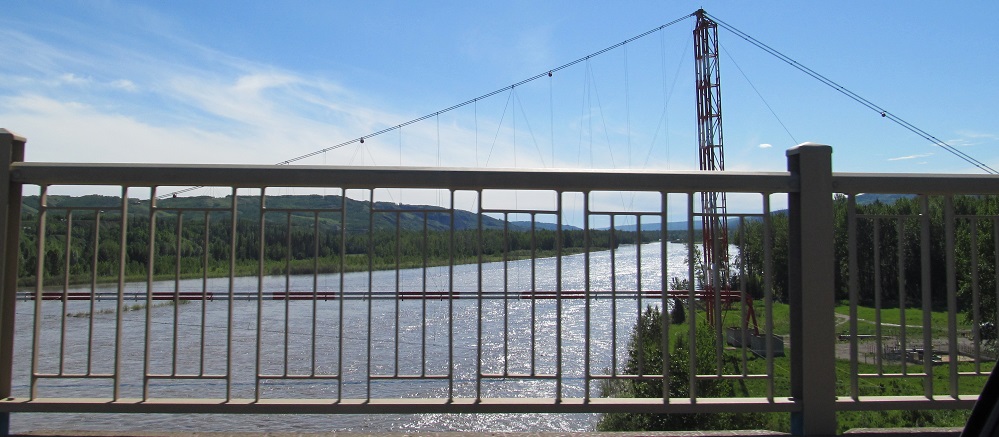
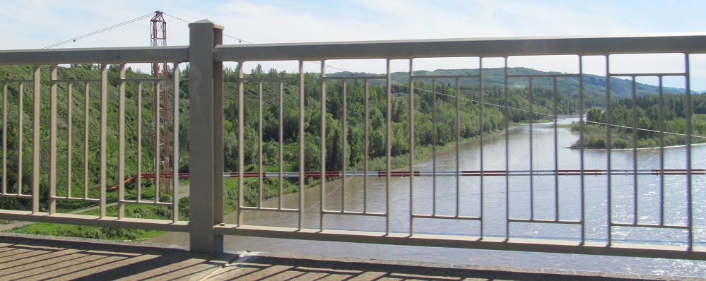
Slow down to enjoy the 1959 Peace River Bridge and the suspension pipeline to its east. It replaced the 1943 Peace River Suspension Bridge, which would unarguably have been more interesting to cross. Unfortunately, a landslide took out one of the bridge anchorages, which caused the cables to snap, and it was decided to build a new bridge not anchored on top of slippy shale - and not of as interesting an appearance. In researching this bridge, I learned that a railway bridge to the west was pressed into service as a road bridge for two years. Once you know that, you can aerially trace the roads through the forest that temporarily carried cross-river traffic to Taylor and Fort St. John.
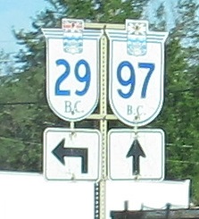
BC's old sign font graces two of these three NB signs.
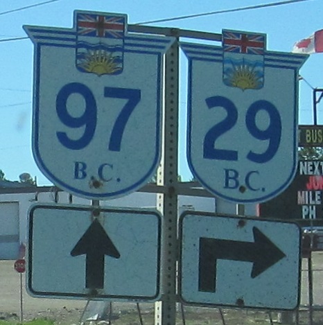
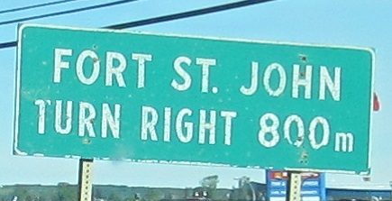
You'll find the same deal SB. If you chose to bypass Dawson Creek, Fort St. John, and all the construction I photographed, you'd be here and probably a lot sooner than I was.
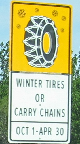
Interesting graphic, sensible rule. Considering it's June 1, the sign should have been folded down.
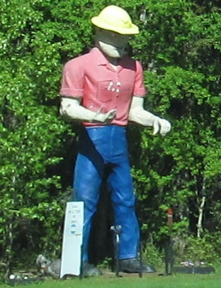
The lumberjack outside the former Clarke Sawmill lasted until October of 2019, when some overzealous teenagers shot fireworks at him.
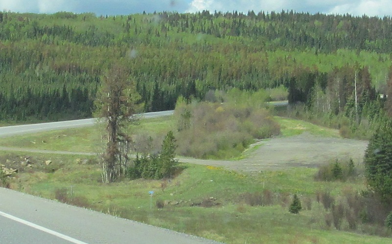
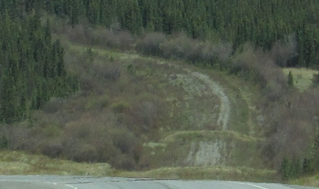
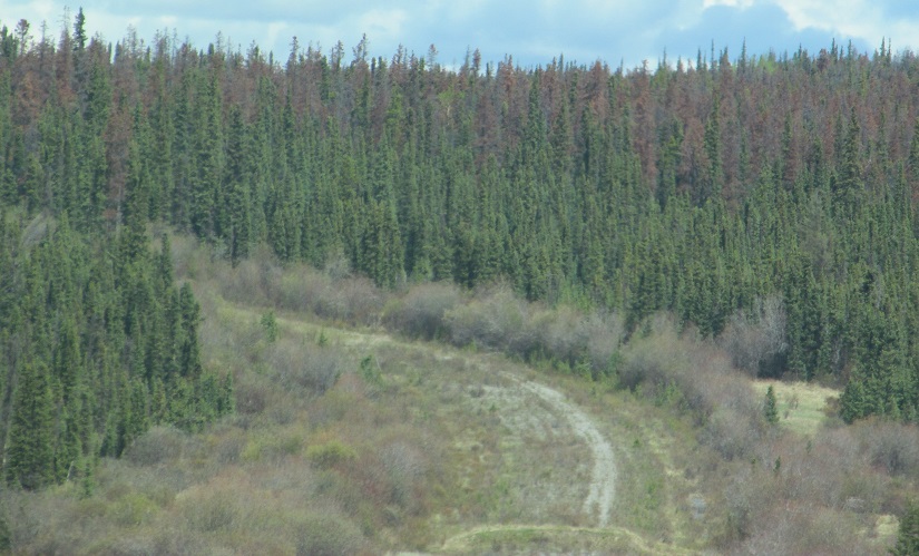
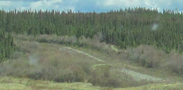
Can you spot the old alignment north of Wonowon (roadgeek aside: named for being Mile 101 on the Alaska Highway)? Hint: I photographed it for you.
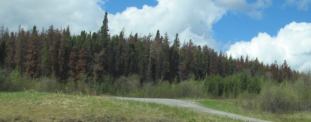
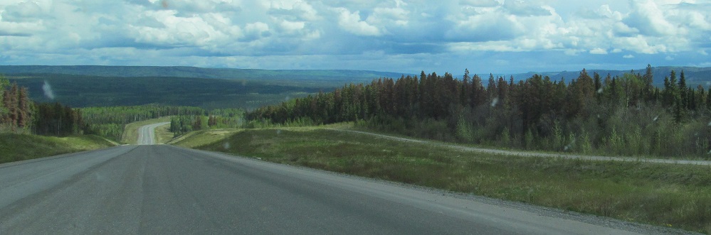
Scenery south of Sikanni Chief, where BC straightened out an S-curve along BC 97. The settlement, named for a Beaver First Nation prophet, comes up after the curve in the last photo.
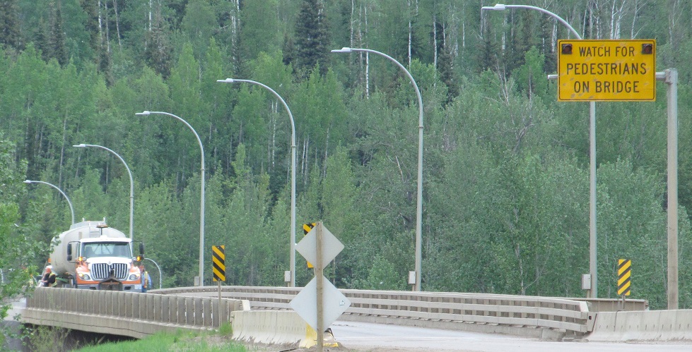
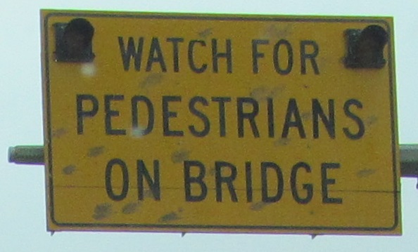
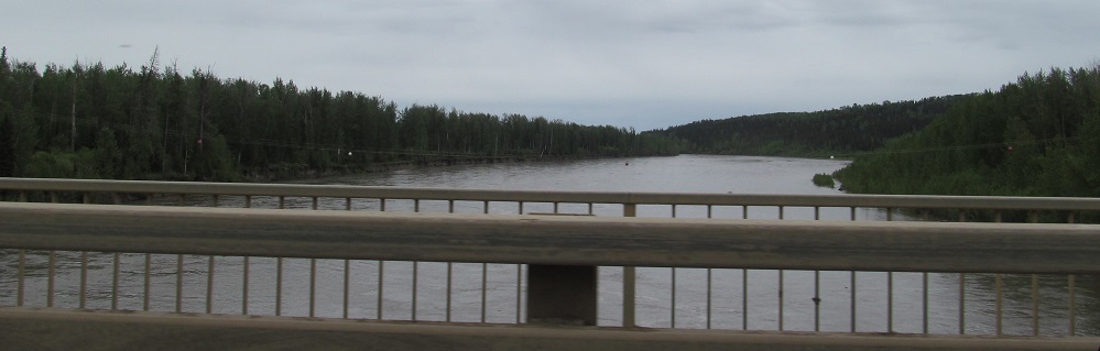
Continuing north past the truss at Jackfish Creek to a mostly ordinary bridge at the Muskwa River. Why are there pedestrians on the bridge? Isn't that a walkway on the east side? And who is walking here?! I'm a little too far outside Fort Nelson to believe there would be pedestrians at all, but if there are, they should stick to the sidewalk. The last photo looks east.
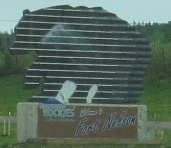
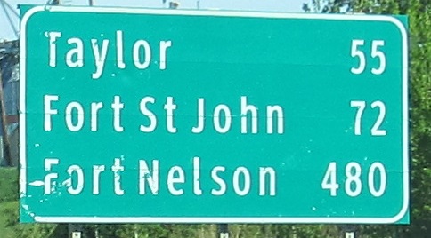
My journey ends at BC 77 after passing through the former town of Fort Nelson. It's now Northern Rockies Regional Municipality, upon dissolving itself and unifying with its surrounding region.
Back south on BC 97
Onto old BC 97, Kiskatinaw Rd.
Back to BC 97 main page
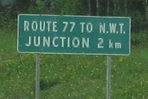
Onto BC 77
Back to British Columbia Roads
Back to Roads