British Columbia Roads - BC 97 - Quesnel-Dawson Creek
 Quesnel to Dawson Creek
All photos but one were taken northbound.
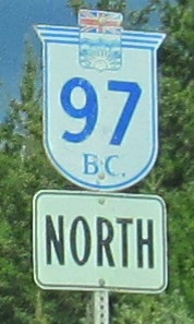
 Dig the old font.
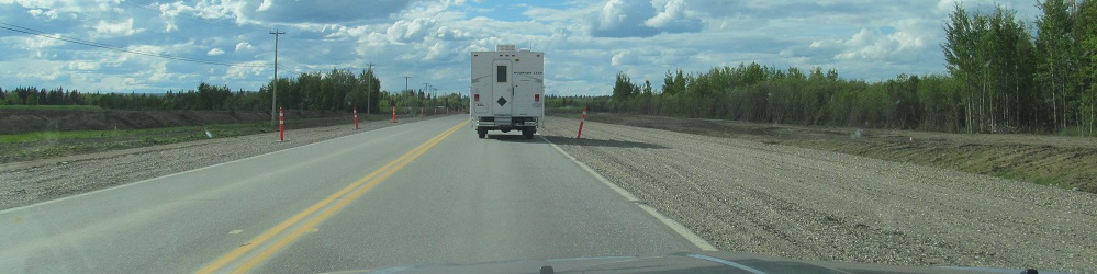
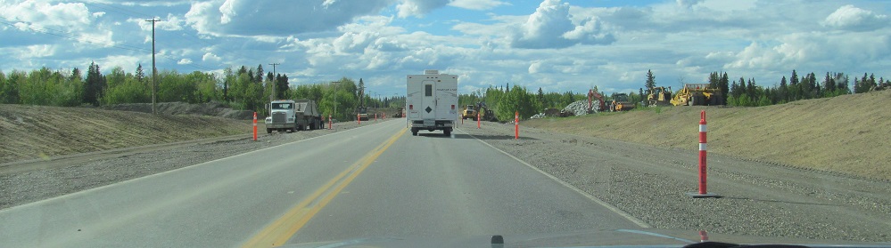
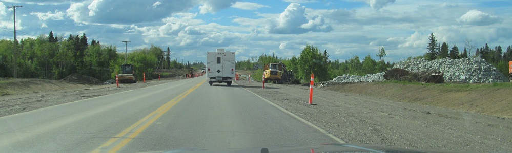
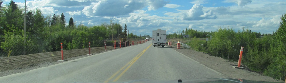
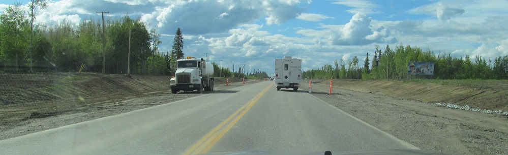
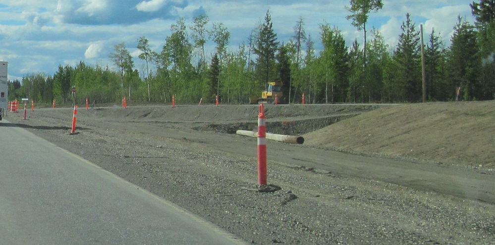
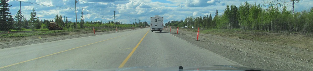
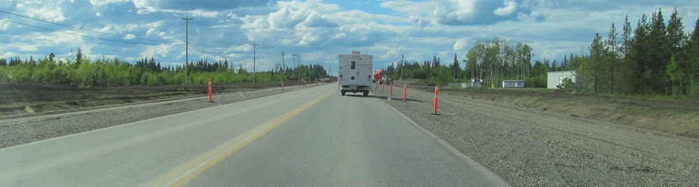
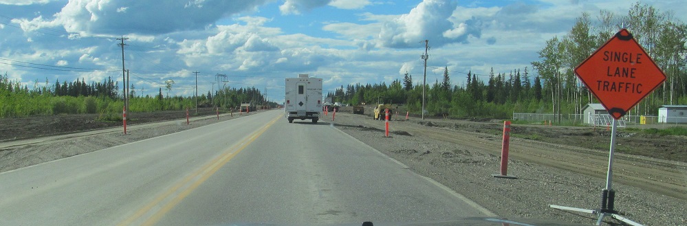
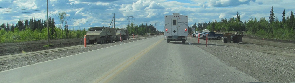
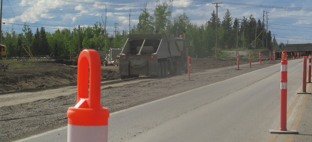
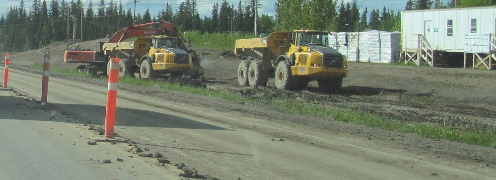
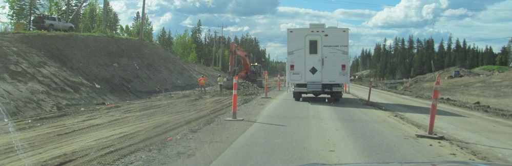
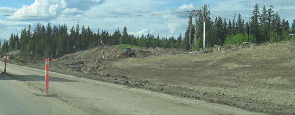
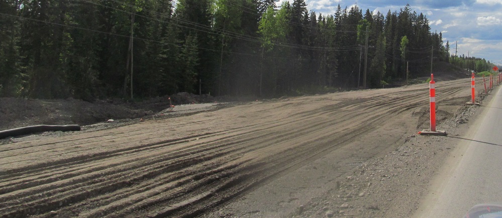
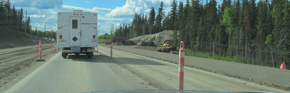
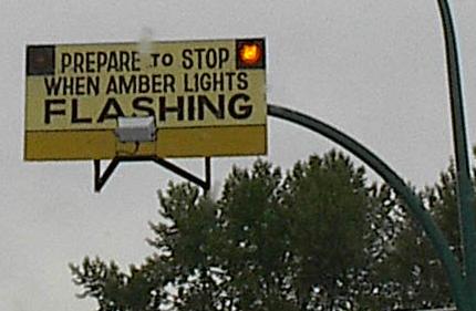
BC is extending the length of 4-lane highway approaching Prince George by several km. These photos go up to the most restrictive part of the work zone (might have been a culvert reconstruction) where everyone had to stop.
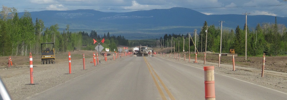
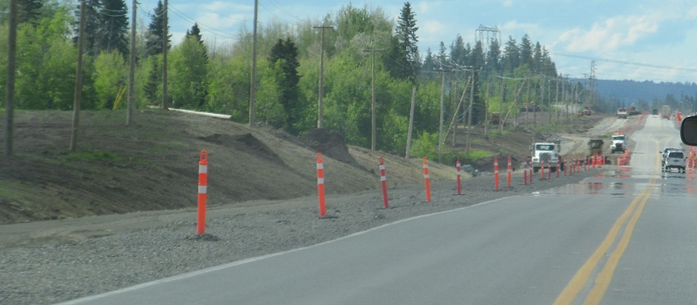
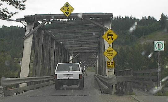
The single-lane stretch gave me enough distance from the truck behind me to set up this south-facing scenery shot.
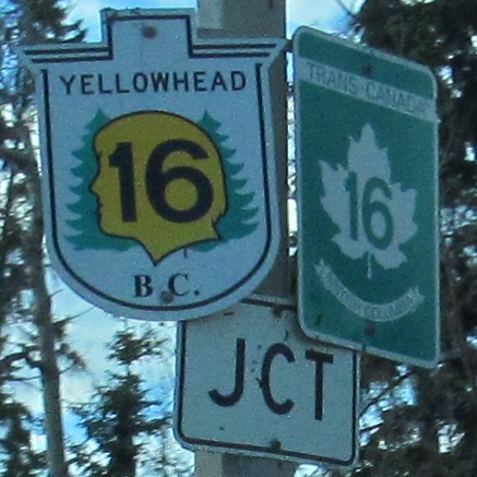
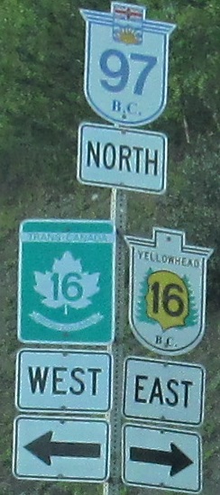
Finishing up the widening photos and entering Prince George. BC 16 is both the TCH and the Yellowhead Highway for its entire length. BC 97 is not a magical dividing line. Also, it should have an up arrow.
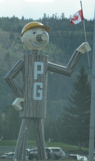
Mr. PG is on the southwest corner of the TCH 16 intersection.
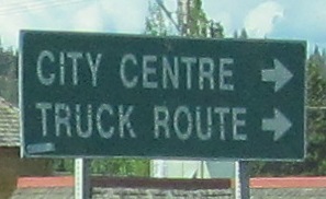
There are ways to get to city centre well before 5th Ave., such as taking TCH 16. These destinations make much more sense for BC 97 SB at this turn.
This very rustic bridge was the former (replaced 2005) Cameron Street bridge, which carried original BC 97 across the Nechako River until the modern John Hart Bridge was built in 1961. The moderately rustic sign was probably on the River Road EB approach to Cameron St. Both photos are courtesy Rich Piehl.
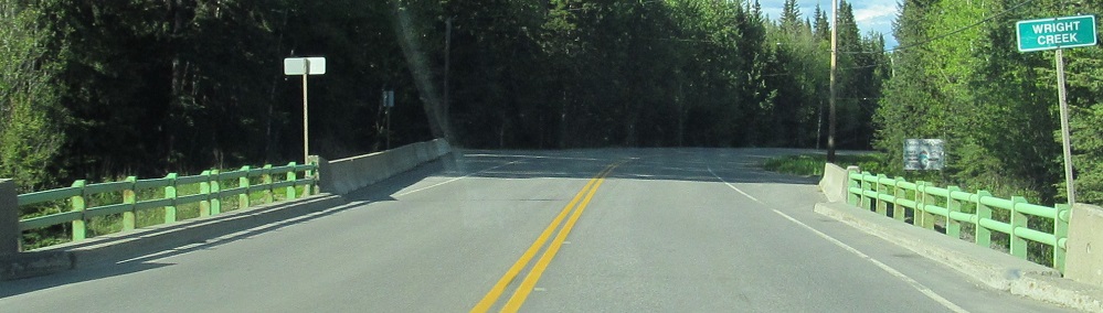


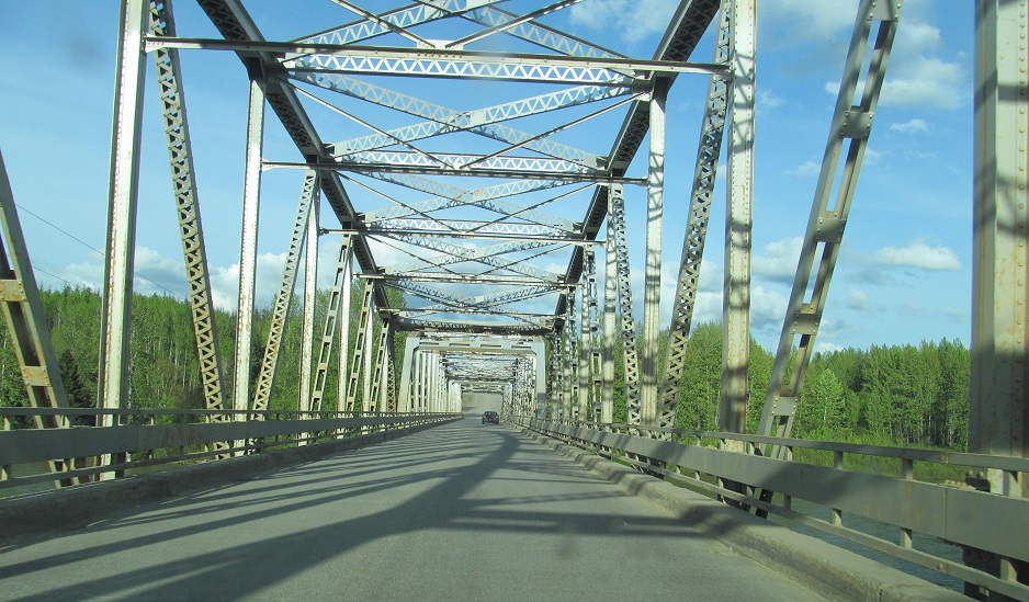
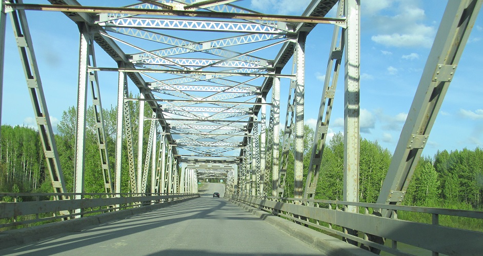
Here's another old bridge that has been replaced, crossing the Salmon River from 1964 until 2017. It wasn't even that old!
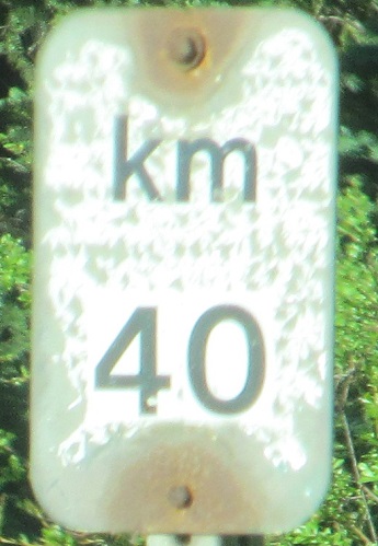
Interestingly, the John Hart Highway was distance posted separately from the rest of BC 97. The Cariboo Highway ended in Prince George, so this is 40 km from TCH 16.
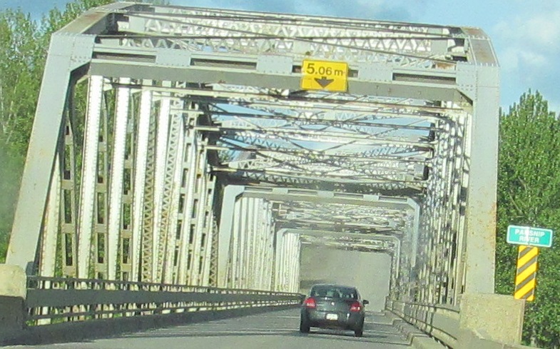
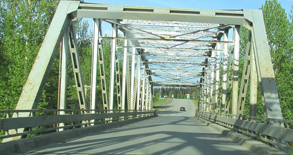
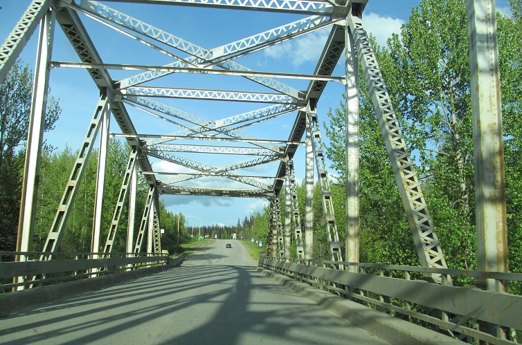
I think the Parsnip River bridge is still around.
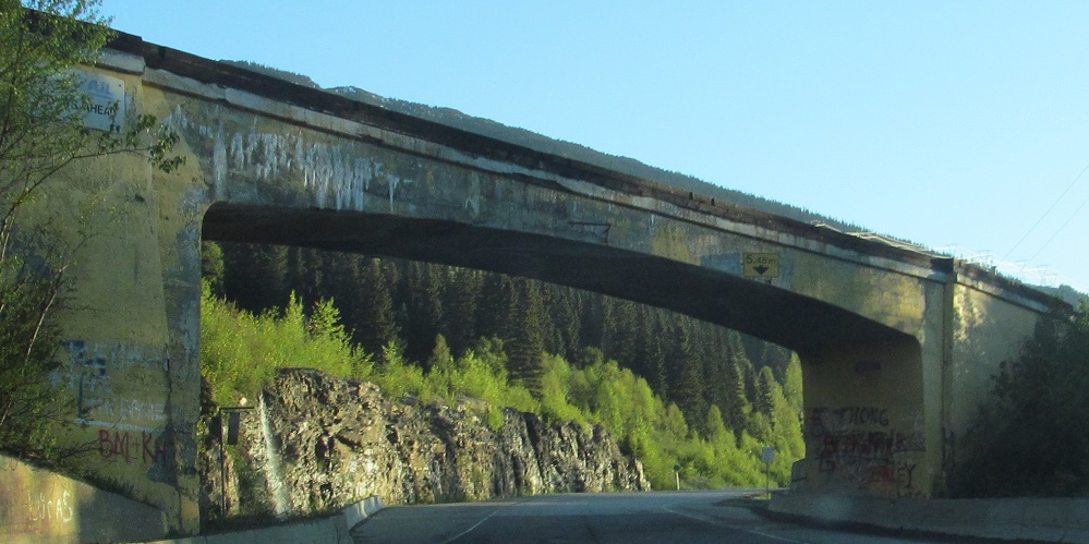
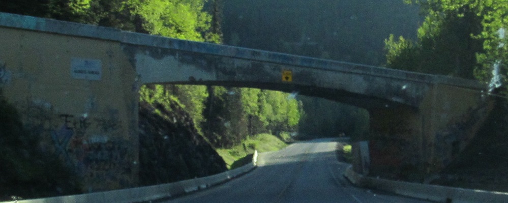
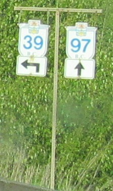
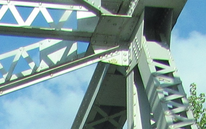
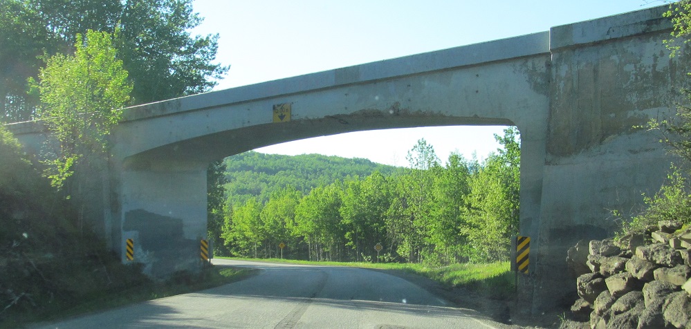
A pair of old railway overpasses frame a pair of old signs.
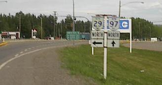
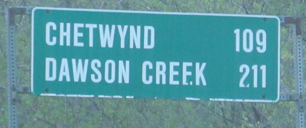
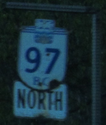
Take a bite out of sign! (I'm overusing that one.) These were in Chetwynd, courtesy Rich Piehl. BC 29 cuts a considerable corner off of BC 97, which heads east to Dawson Creek, meets BC 2, and then turns sharply northwest on the Alaska Highway.
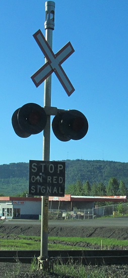 Chetwynd still has a gateless railway grade crossing.
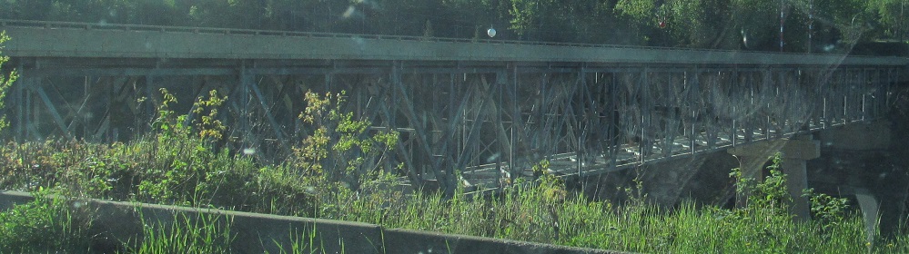
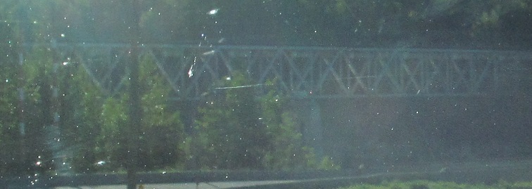
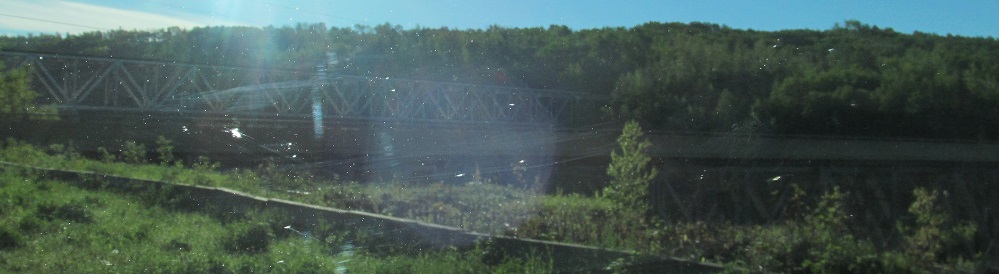
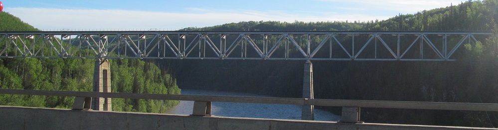
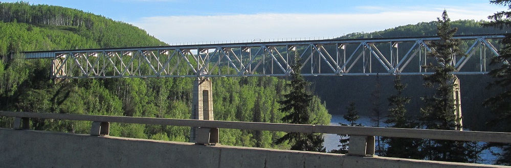
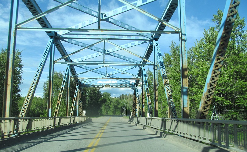
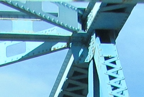
BC 97 (2nd photo) and the adjacent railway have matching underdeck trusses across Pine River.
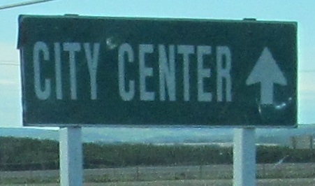
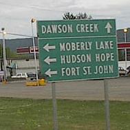
As BC 97 approaches Dawson Creek, it meets the "dangerous goods route" that also functions as a bypass for all non-Dawson Creek traffic. While it's shorter to turn left here to stay on BC 97, traffic could also have used Mason Road 13 km ago for an even better bypass. There is a problem with this sign that my Canadian readers will see quickly: north of the border, it's "Centre."
Continue north on BC 97
Back south on BC 97
Back to BC 97 main page
To Dawson Creek
Back to British Columbia Roads
Back to Roads