Arizona Roads - I-40/AZ 77 - W./E. of US 180
I-40 and I-40/AZ 77 west and east of US 180
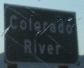
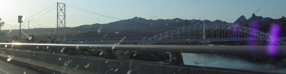
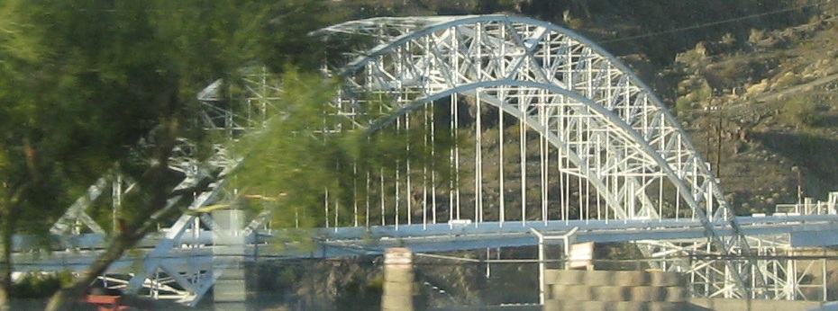
Entering Arizona, US 66 originally crossed the Colorado River on the much older (1916 or 1919, sources vary) arch bridge to the south. The suspension bridge was built later for Pacific Gas & Electric, who took over the US 66 Old Trails Bridge in the 1940s for the same purpose - getting utilities to California. From that point until I-40 came into being, US 66 crossed the Red Rock Bridge (same name as the original pre-66 crossing) just south of where I-40 crosses now. That one must not have been as beautiful, because it was subsequently removed.
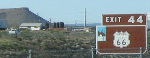
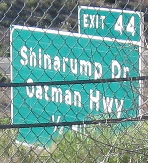
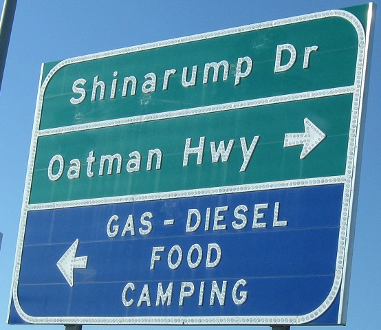
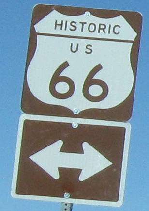
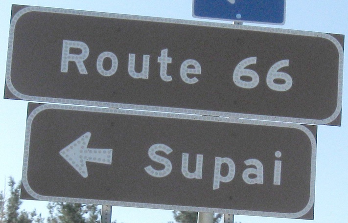
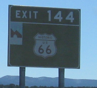
WB for an exit thanks to a long dead-end of former US 66, and signs at the top of the Exit 44 ramp. Although Historic US 66 is signed both ways from the exit, neither direction of Shinarump Drive was ever 66 (temporary construction alignments don't count). It's just the only link between two sections of the route. The first brown sign originally spelled out Historic Route 66 before ADOT invented the shield to contain it all. Which, by the way, I love because it preserves the historic shape as well. If you can notice the "66" in the shield, then this design should continue to be used everywhere with the state name replacing "Historic."
A little more EB button copy, second photo at the end of the Exit 53 ramp. I believe the signs are brown, but they could be green; the sun was straight ahead so the color's gone.
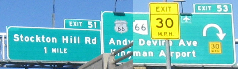
WB button copy cobbled together from ground shots on either side of the underpass. There's quite a lot going on on the Exit 53 sign - it couldn't hurt to bring the airplane symbol down where people might actually notice it, or to leave the 30 MPH signage at ground level where there's clearly already some of it. This is also an unusual instance where Historic US 66 is instead signed Historic Loop 66. It does form a loop through Kingman, but it's almost signed like a business route for the former highway.
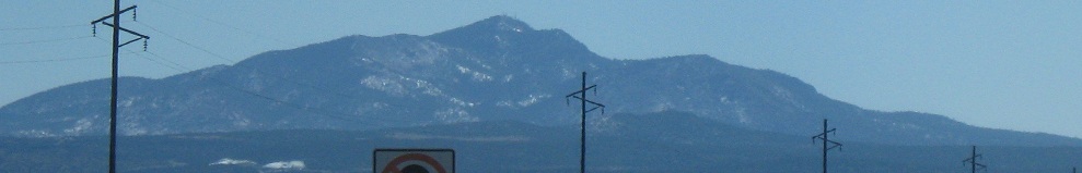
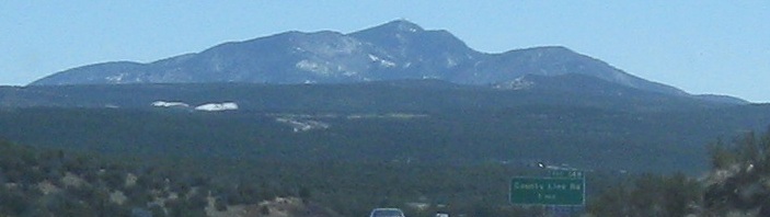
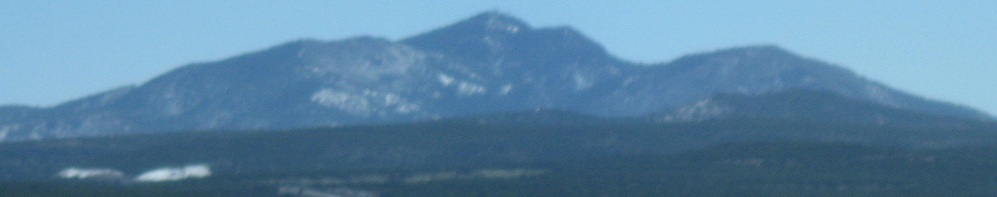
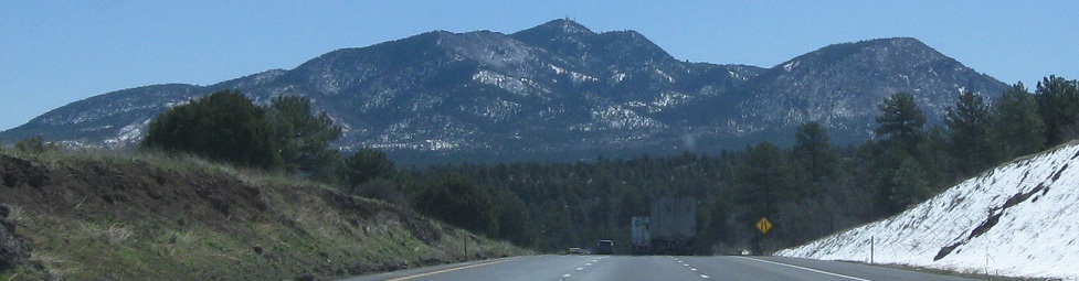

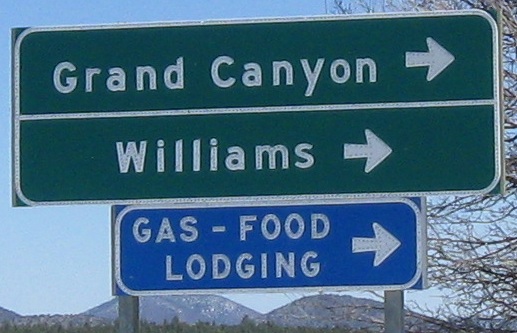
EB from Bill Williams and Bixler Mountains to Bill's namesake town and the Exit 161 ramp (where you see all the right arrows). This is up high enough to have snow in mid-April in the hottest part of the country. Grand Canyon should be signed at Exit 165, not here, because that's where AZ 64 begins and heads north to Grand Canyon Village. (However, Williams does have the beginning of the scenic railroad that also goes there.) I'm sure Williams doesn't mind the extra tourist traffic.
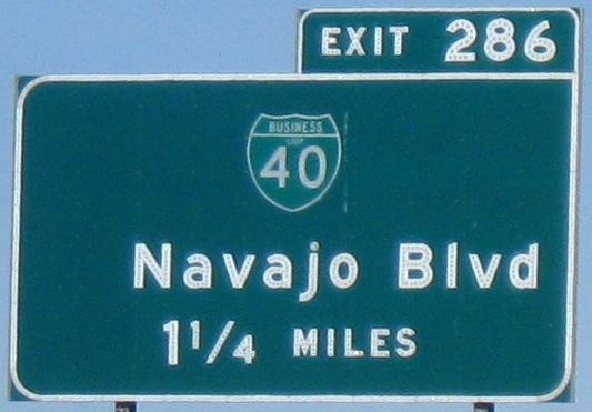
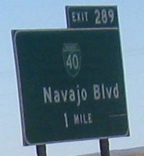
EB leaving the US 180 concurrency in Holbrook and onto the Exit 289 ramp.
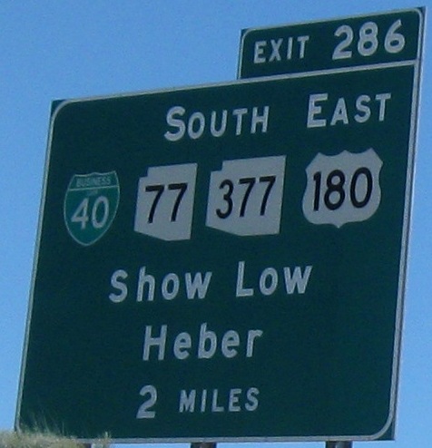
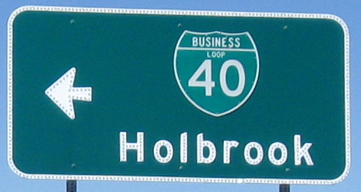
And WB into Holbrook. AZ 377 doesn't begin for some distance south, and isn't even signed EB.
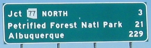
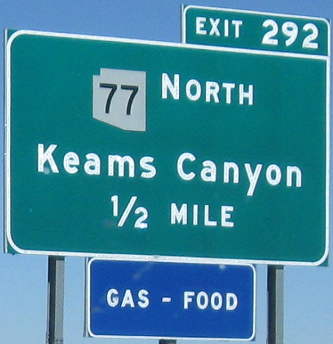
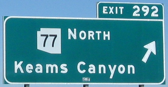
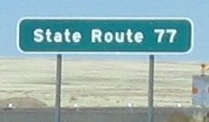
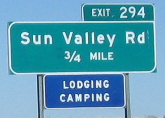
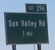
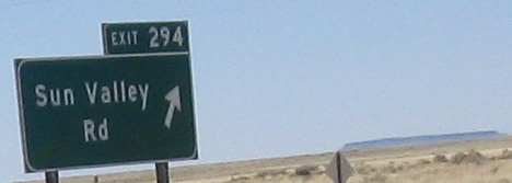
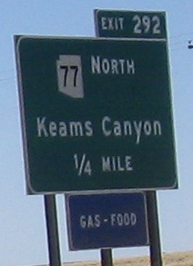
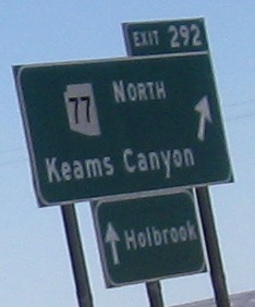
EB on down the Exit 294 ramp, dropping off AZ 77 along the way. Button copy fades after this - it's already gone from the ū-mile advance sign (only on the blue sign below).
WB for a little bit. The separate Holbrook sign in the last photo is the way freeways were signed back before standards were established, so I bet it's been a replacement in kind ever since, a holdover destination from days of yore when US 66 was on this path.
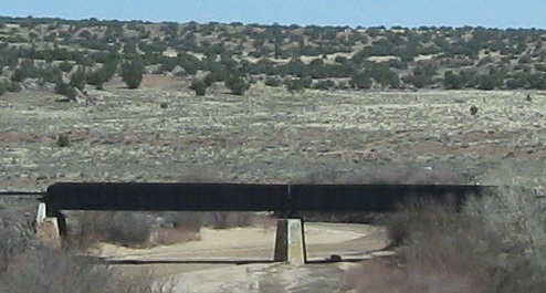
A couple of EB photos where there's button copy, then looking south at a typical old railroad bridge over a wash near Exit 333. This is a common sight from old US 66.
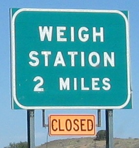
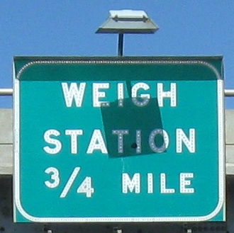
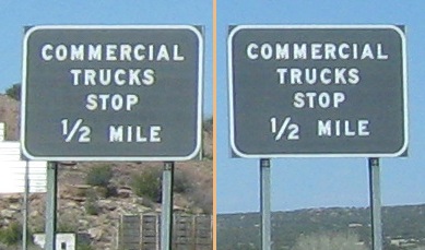
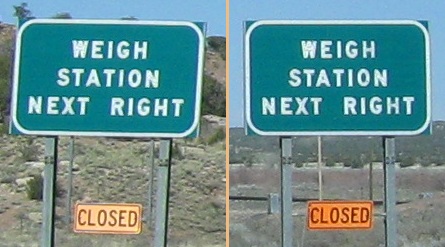
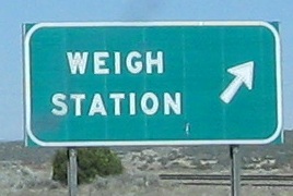
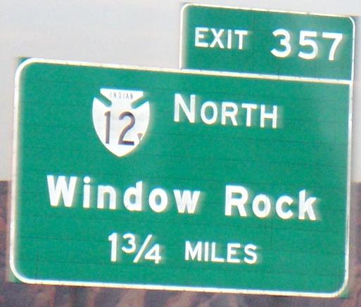
All EB, ending with an Indian Route shield courtesy Matt Kleiman. The truck and weigh station signs that look identical are across from each other on either side of the roadway.
Continue onto I-40/US 180
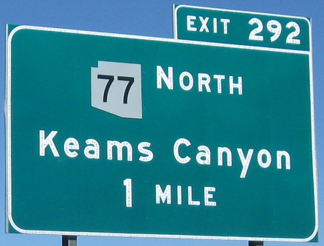
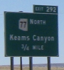
Exit 286 or 292 to AZ 77 alone
Back to I-40 main page
Exit 44, 53, etc. (really any of them) to old US 66 (I-40's predecessor)
Into California on I-40
Into New Mexico on I-40
Exit 44 to Shinarump Drive
Exit 53 to AZ 66
Exit 161 to old US 66 in Williams
Exit 286 to US 180
I-40 scenery photos east of Holbrook
Back to Arizona Roads
Back to Roads