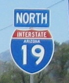
Arizona Roads - I-19 NB 1
 Exits 1-56
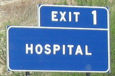
First sign and I'm already getting nitpicky. Either make the letters larger or use a smaller sign (or just an "H" shield). ADOT did this a lot in its button copy years.
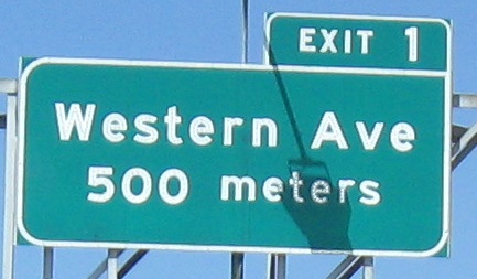
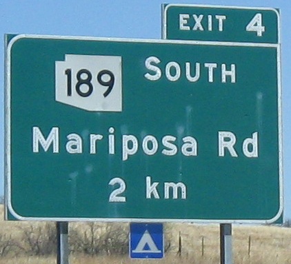
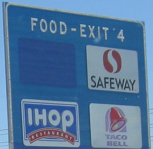
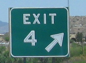
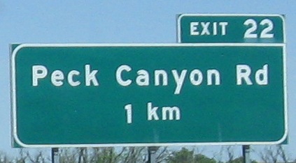
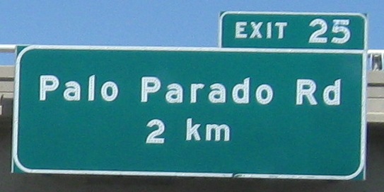
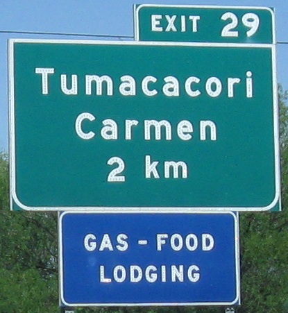
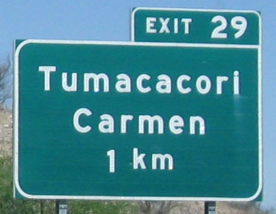
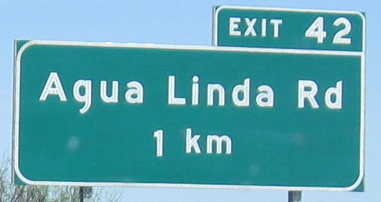
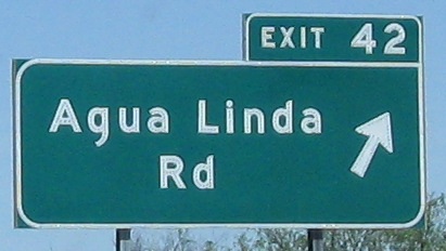
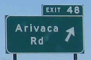
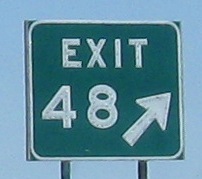
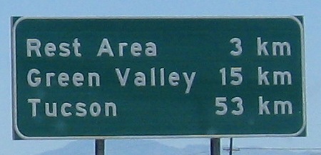
Second nitpick: It seems that for all of the signage, the letter "m" is centered on the larger numeral when it comes to exit distances. It looks comical for "meters" and awful for "km" because the 'k' sticks up above the distance. And why is "meters" lower case when "MILES" is always upper case? Is it to keep "km" company? Just use "m" in that case. Anyway, now that I'm done ranting, the Exit 4 service sign is an example of how Arizona has had to extend button copy as more businesses (and people) come to its Interstate corridors. Everything I cut off isn't button copy, which is why it's cut off.
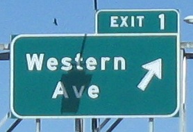
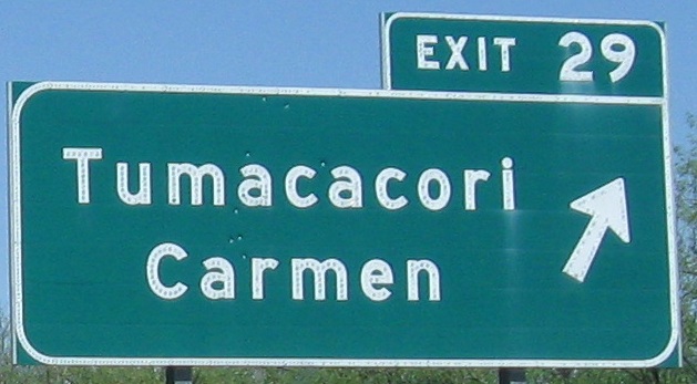
I think the nitpicks are obvious enough here.
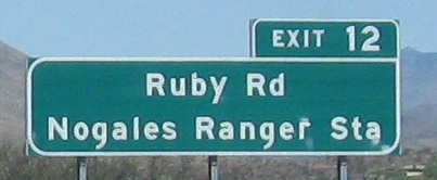
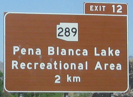
This is Mt. Benedict. Up on Ruby Rd., AZ 289 begins, but ends well before the road gets to Ruby. Its parent is gone now, too, so it really should be 219. Oh, and AZ 189 should be AZ 119. Guess that's not really happening.
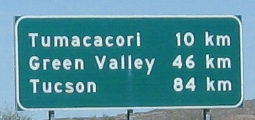
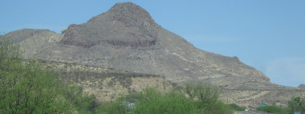
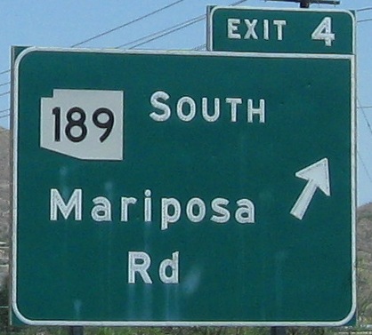
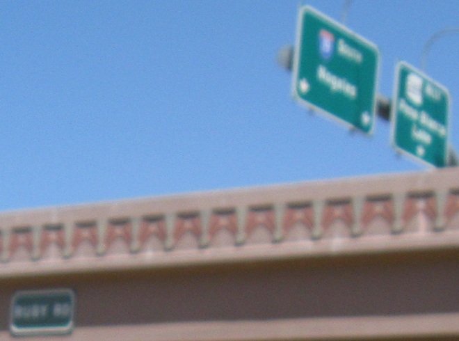
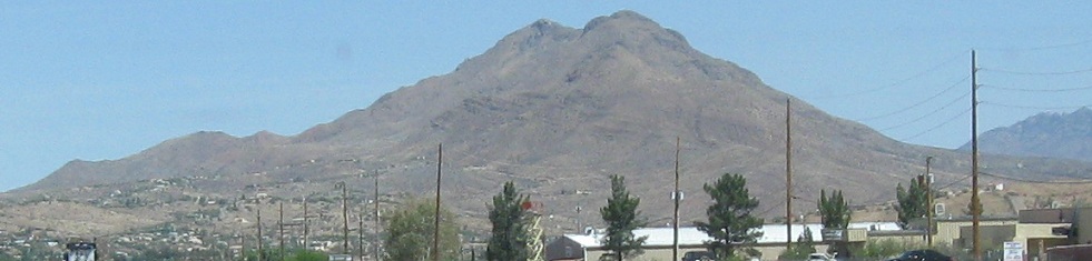
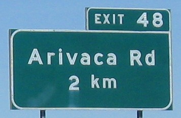
This one is Tumacacori Peak. Notice how the street name signs are non-reflective while the exit signage is all reflective background - obviously the guide signs have been replaced since I-19 was born, while the overhead street names apparently haven't.
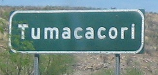
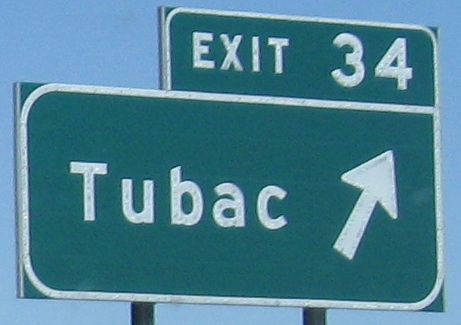
Amazing, the whole town fits under the underpass!
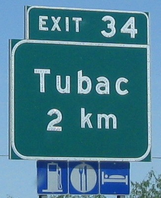

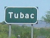
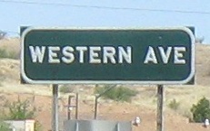
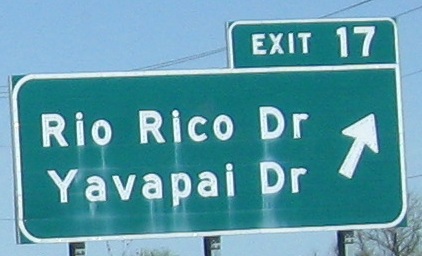
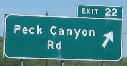
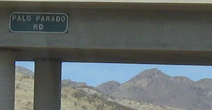
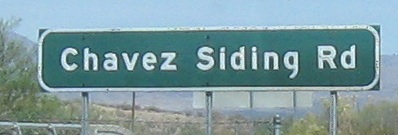
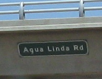
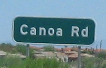
Hey, Arizona, these roads have names, you know! This road here in Tubac? It's... let's see... Barrio de Tubac. Oh, never mind.
Continue north on I-19 NB
Switch to the SB side
Back to I-19 main page
Back to Arizona Roads
Back to Roads