Rhode Island Roads - RI 138 - Jamestown/Stone Bridges
Old RI 138, old Jamestown Bridge and Stone Bridge
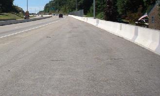
The current Jamestown Bridge is an uninteresting but tall four-lane toll freeway, but the old one still existed alongside it until 2006. RI 138 was made into a freeway across Jamestown (which is an island between the western side of Rhode Island and Newport/the eastern side) somewhere around 1990, but the new bridge was not built for about another 7 years. As you will see on this page, this meant that for awhile, there were ramps to go from the freeway to the old two-lane bridge, and when construction on the current bridge began, a special ramp had to be maintained under the freeway, a ramp that is now abandoned, leaving an overpass over nothing.
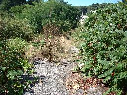
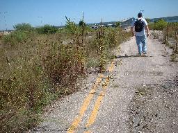
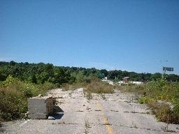
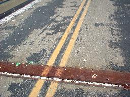
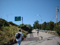
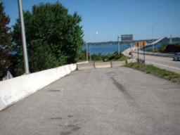
This is the old grade of the two-lane RI 138 on the western bank; it came up the side of the hill from the old bridge and ended at RI 1A (the picture is being taken from the side of 1A), where 138 then turned. Click on the picture to see a closeup of a pavement fragment that quite possibly is from the old roadway.
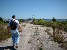
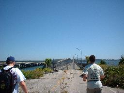
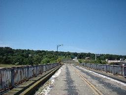
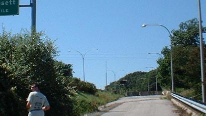
This is what you would have seen if you walked along the old EB ramp from the freeway to the old bridge. The first picture looks back at the freeway, which is the whitish break in the trees. Clearly the pavement was torn up for a fair distance, but the old bridge was still in use recently enough for the remaining asphalt to be in pretty good condition, including the stripes. The picture below looks back from the beginning of the bridge down the EB ramp.
Now onto the bridge.
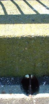 A typical drainspout, allowing rainwater to wash into the bay.
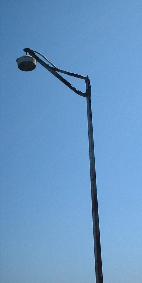 A typical lamppost; there were at least two different styles of lamp along the bridge, but only one style of post.
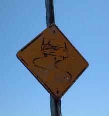
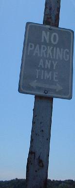 Two roadsigns left on the side of the bridge.
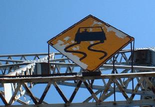
The most noteworthy sight was the giant overhead Slippery When Wet sign, one of which stood on each end of the truss. They were large enough to be discernable from the new bridge.
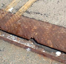
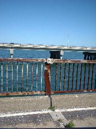
Bridge joints, rusting and starting to crack. You can see how shells have somehow blown (or been carried by birds) onto the bridge in the second photo.
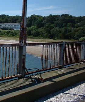
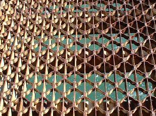
There is a tall, narrow concrete ledge on the EB side of the bridge, barely too narrow for pedestrians. That's probably for the better, given the horrible condition of the railing.
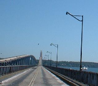
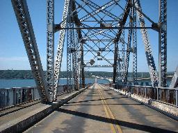
Up to the top of the bridge. Let's look around at the view.
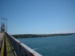 Looking east on the way up.
 Looking south from the same spot.
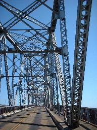
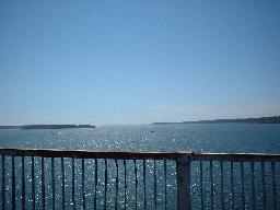
 Looking west from the top.
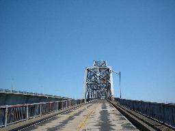
Looking DOWN... not very confidence inspiring, hmm? It is said that you could feel the bridge shake underneath you and hear the grating creak as you rode over it. And yet, I still went up knowing this.
 Heading back off the bridge.
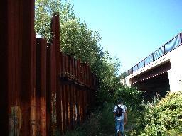
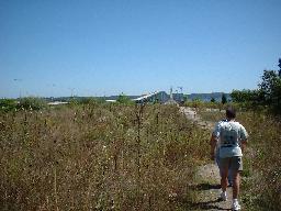
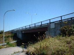
Walking up the WB ramp that was used by traffic between the old bridge and the freeway while the new bridge was being built. As mentioned at top, this was never more than a temporary ramp (as you might guess by the sheeting still left in the first picture), but it has left an abandoned overpass. The next two pictures are looking back down this ramp.
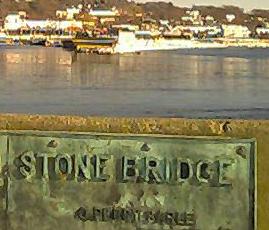
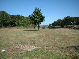
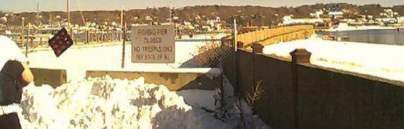
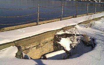
The old Stone Bridge, built in 1907 to carry what would become RI 138, still has stubs on both sides, after the middle was destroyed by Hurricane Carol while being used as a fishing bridge. It was replaced by the Sakonnet River Bridge on RI 24. Potholes are expanding on it, making it unsafe for anyone to use. There is even a plaque on each end of the bridge, but RIDOT doesn't want you to walk onto the stub to see the plaque. Curious. The rest of the pictures are all from the western end just off of RI 138, visible in the background of the above picture. The photo above, and a few more photos of the eastern stub of the bridge, are on the RI 77 page.
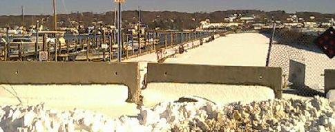
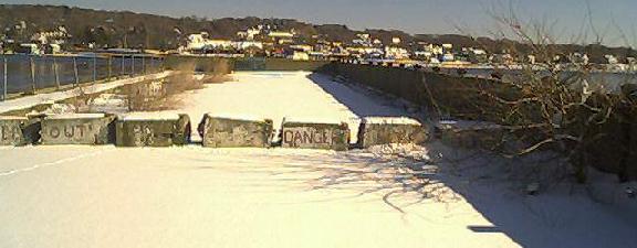
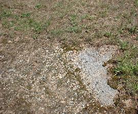
A pothole on the side of the bridge.
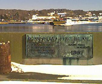
The plaque on the near end of the bridge.

The pier footing that once had more stone above it.
Back to RI 138
More abandoned bridges on RI 103/114
Jamestown Bridge on Steve Anderson's bostonroads.com
Back to RI Roads
Back to Roads