Pennsylvania Roads - US 209 (N. of Stroudsburg)/US 6
US 209 and 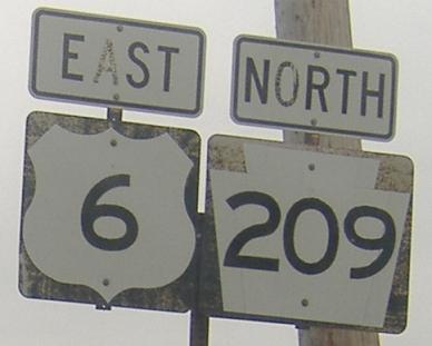 north of Stroudsburg
The photo above clearly involves an error - one that faded a lot in just a few years since I first found it. If you look closely enough, you'll notice the faint outline of a narrower keystone beneath the 209 - so someone took the time to reuse the incorrect shield, not just post an original error!
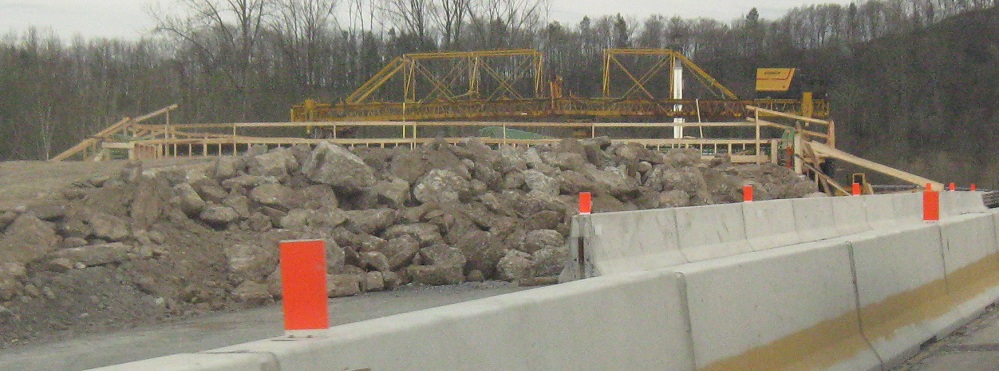
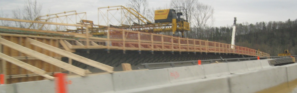
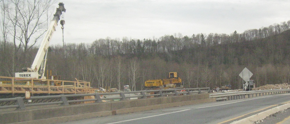
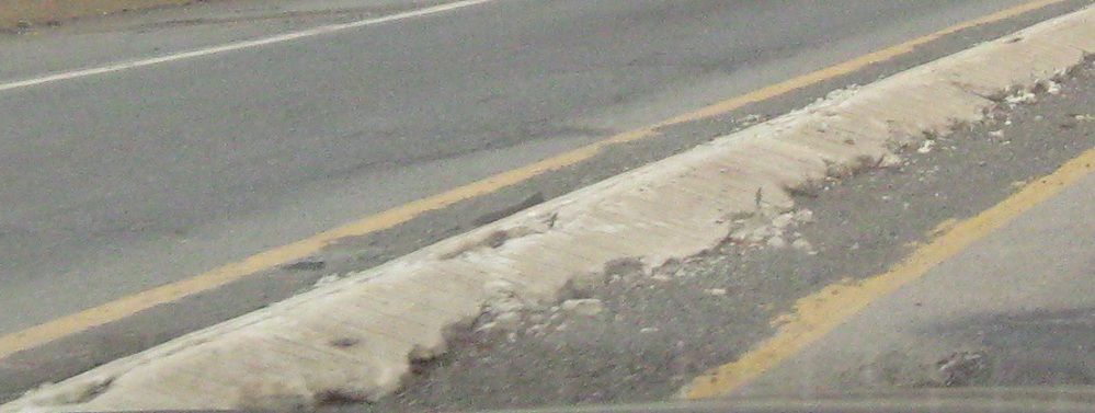
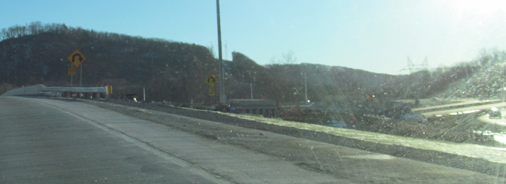
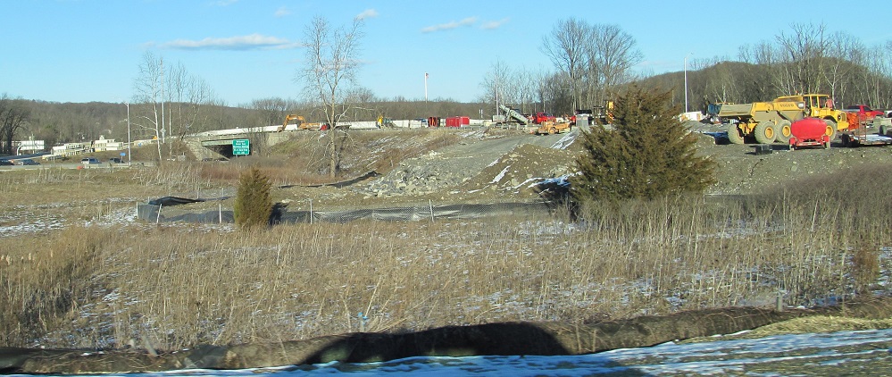
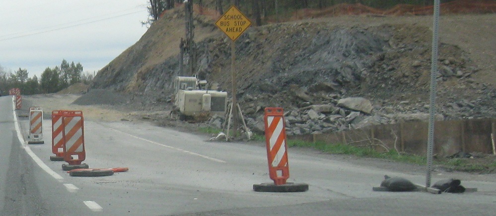
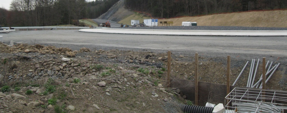
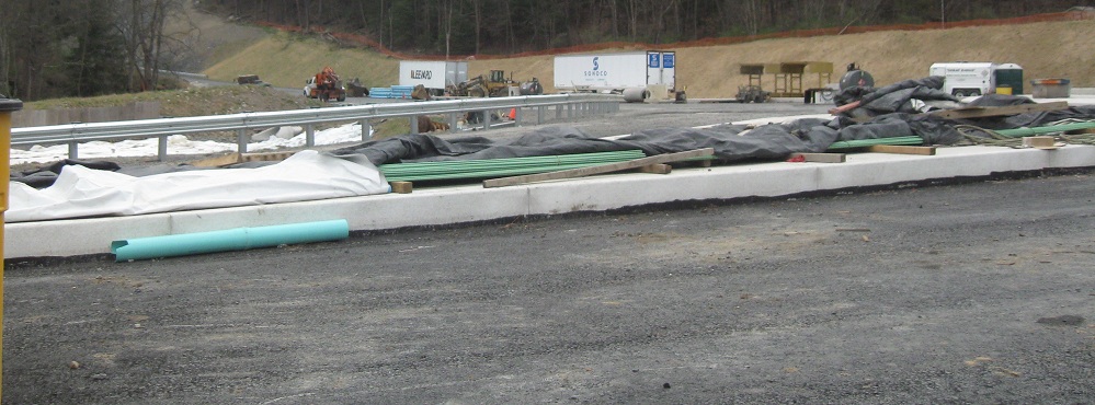
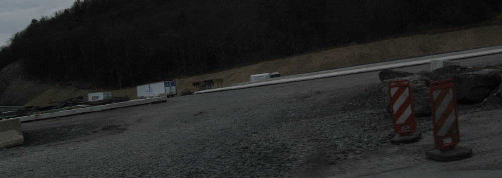
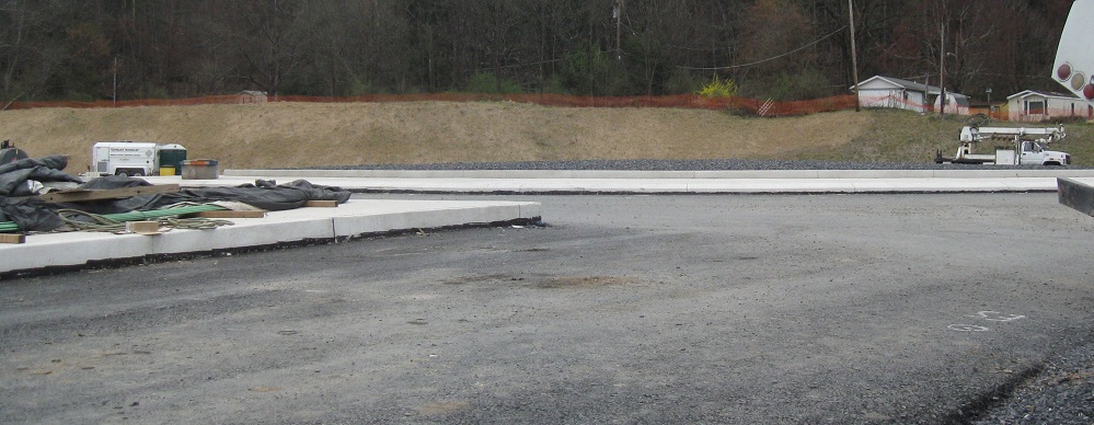
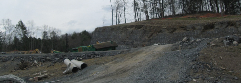
As of March 2012, construction was underway to replace and widen the US 209 trumpet ramp bridge over I-80 and loop to/from I-80 EB. These photos head SB around the loop; the NB side is mainline US 209. The photo of the original sloped-curb median is reflective of the condition of the overpass as a whole - outdated, unsafe, and crumbling.
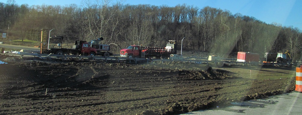
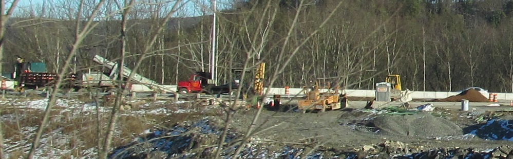
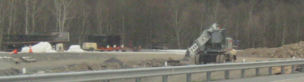
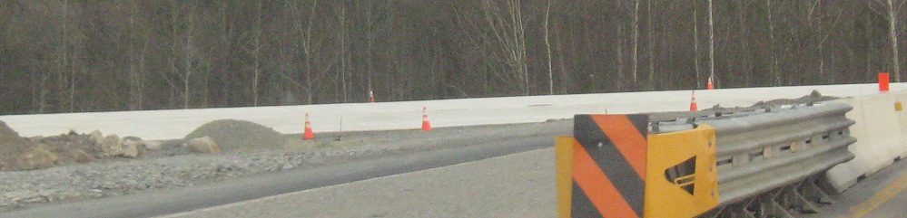
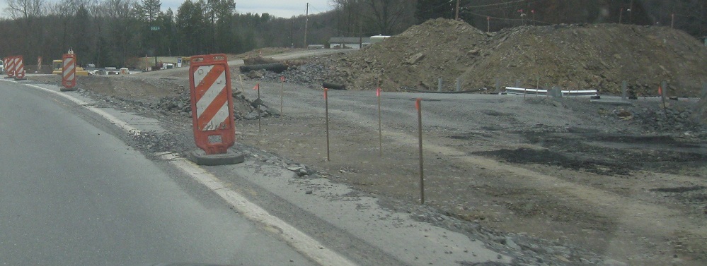
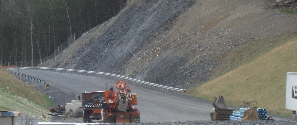
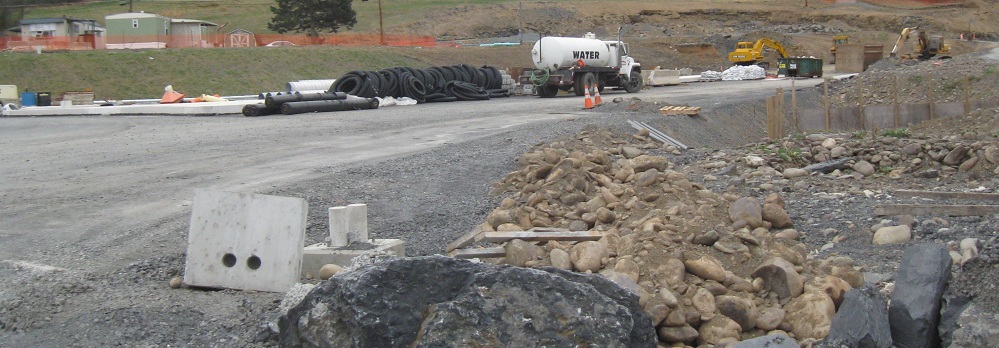
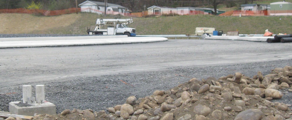
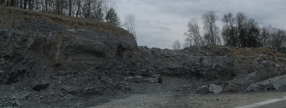
Just 10 months later, traffic is now on the newly built overpass. These photos generally look at the now-former ramps just west of the current ones as I travel around the loop to I-80 EB.
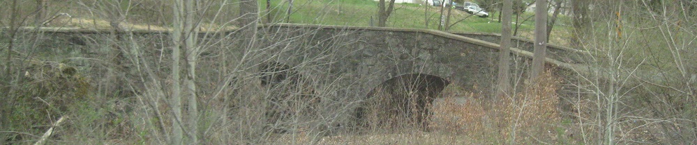
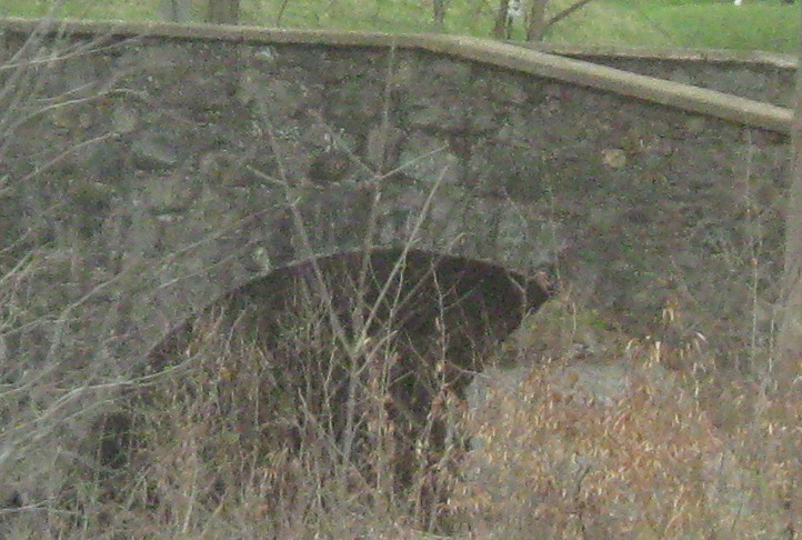
An older bridge in better condition, looking north at Green Mountain Dr. in East Stroudsburg. Wait, though, what is such an old bridge doing on a little dead-end with modern houses? Was it a farm driveway? No. Was it some old road that branched off this way? Getting warmer. Okay, it crosses Marshalls Creek just north of the US 209 bridge - wait a minute - does that make it an old alignment?
Bingo. Well, you're not going to get closer than that without consulting some maps. I traced back into the 1940s, before the Stroudsburg bypass was built along what's now I-80 (originally US 611, with US 209 along for the ride), and this was still PA 402 at that time, with US 209 on the Business route. This was one of the original bridges on Seven Bridges Road, built perpendicular to the river in 1910 to make the crossing as short as possible. It's easier to describe the route heading SB: the route made a fairly sharp curve to the right and narrowed to get over the 1-lane bridge, then arced back around through what's now the back of a hotel parking lot - this, by the way, explains why the parking lot is curved - then another almost as fairly sharp curve back into the current straight alignment. This was part of the highway system for a few years before a straight bridge was built in 1930. Once the new bridge was built, most of the old route was simply abandoned. Green Mountain Dr. came around later, quite possibly just after World War II, and meets the old road just west of the stone arches. The old road then peters out as the back driveway to the hotel.
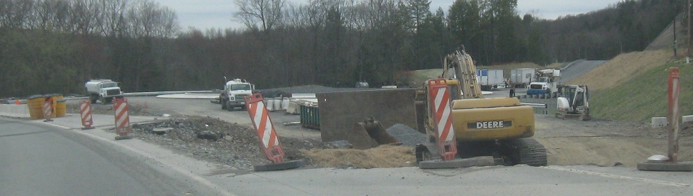
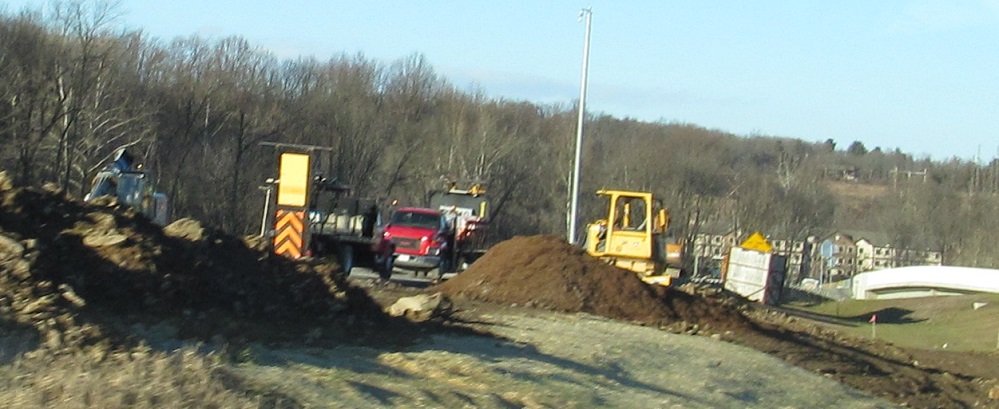
Just to the north, I run into construction of the new Marshalls Creek Bypass, a long-overdue bypass of the congested area between the US 209/Business 209 junction and the beginning of PA 402 (originally, the one-block multiplex of 402 and 209). That one block, thanks to signal timing and the demands of exurban New York City development, became gridlocked during rush hours and weekend middays, and the new bypass has unclogged the drain. However, it's clear that the bypass begins with a roundabout, and that wasn't the original design. It was supposed to be a short freeway, with Seven Bridges Rd. as the NB exit and Business US 209/Milford Rd. as the SB exit.
The future Seven Bridges Rd. SB approach to the bypass roundabout and around to the US 209 SB exit. I'm surprised PA 402 wasn't extended back over its original routing to get to this point.
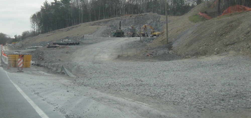
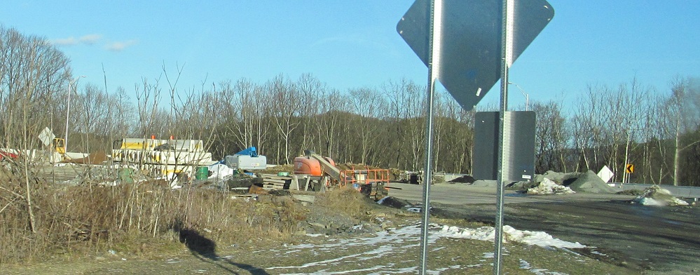
Continuing north on then-current US 209 onto Milford Rd., I hit the other end of construction, where Milford Rd. will curve right to come to a "T" with the new bypass. Not only was this supposed to be an interchange instead of an intersection, but the bypass was intended to continue farther north than this, completely uncorking the bottleneck by keeping traffic bound for PA 402 to the east of Marshalls Creek as well. In fact, bypass construction started with the northern segment first, and got so far that it pretty much just needs to cross Pond Creek to be open to traffic. However, partway through paving the north half of that segment, it was shelved to avoid the most expensive bits at Pond Creek (thanks to a couple of rare fish species - this is what we get for eating their cousins), so aerial photos will forever show a full bypass where only half of one exists. That is, until the economy recovers, more traffic returns to this area, and people who currently sympathize with cold-blooded scaly things will reconsider how long they want to wait at the local traffic light.
A southbound view of the new bypass curving off of the existing alignment at that point.
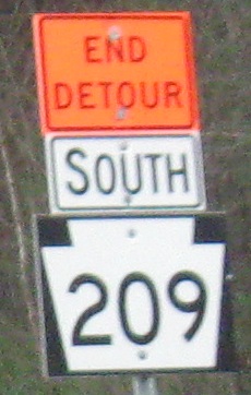
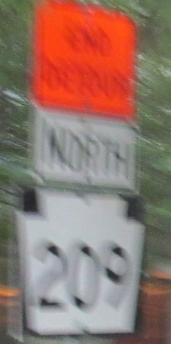
After Hurricane Irene, which came in the middle of a short spell of weather that was unusually wet even otherwise, US 209's foundation was so eroded through Delaware Water Gap National Recreation Area that the road was closed from PA 739 to US 206 near Milford from mid-2011 into late 2012, with the ability to detour either up the hill on Milford Rd. (the scenic route) or into New Jersey via Old Mine Road to 206 (the tolled route). These error shields were on US 209 after passing through the detour.
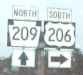
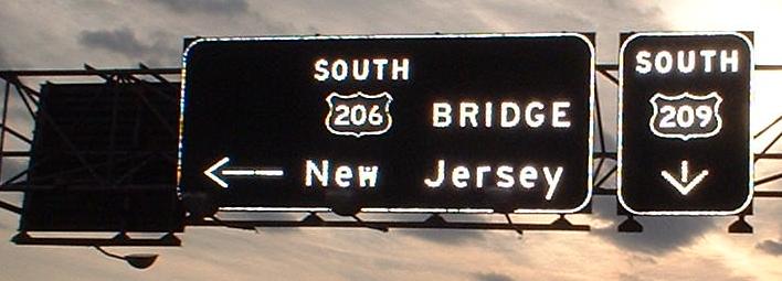
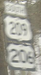
NB on US, not PA, 209 where it meets US 206. As you can see, once upon a time US 206 continued northward in a multiplex, ending at its parent US 6. Now, 206 ends here, and only these old signs still show the old way. At some point in the past, the toll on the Milford (PA)-Montague (NJ) bridge was obviously moved from bidirection to northbound-only.
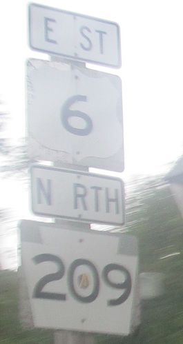
This is on the same gantry as the last NB sign above, with extra-buttony goodness. Click to see a twilight shot with a high degree of camera flash that really brings out the best in the sign.
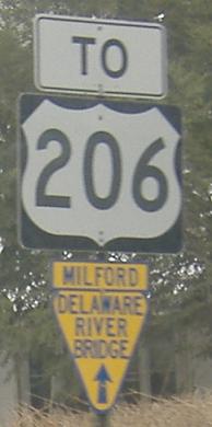
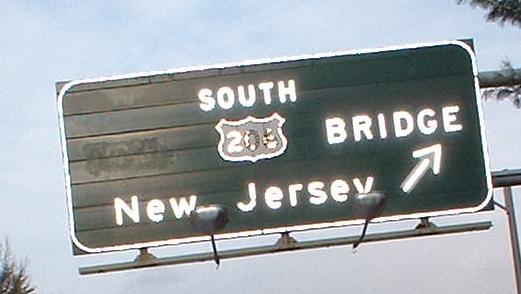
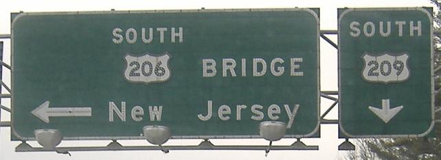
Now, wait a minute, which is it? I do know it's not the narrow digits in that US 209 shield. And if I reread my previous captions on this page, I think I have my answer - "TO". These are southbound heading away from US 6.
Hey, remember the weird-font, fading shields at the top of the page? Go take a look - notice how they're mounted side by side on a metal pole. Notice how the "E" in East and the "O" in North seem to be fading faster than the rest of the banners. Notice how the left of the 6 shield and top of the 209 shield are fading faster than the rest of the background. Then come back here. Sure enough, the same signs, in bad condition and with the keystone error, were remounted on a new wooden pole in their terrible condition. If you can pay to put them back up, you can pay to correct them. The labor to dig the wooden post is probably as much or more than the cost of new signs.
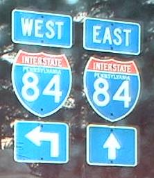
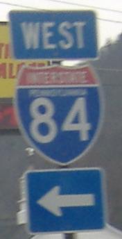
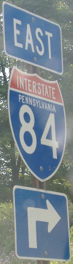
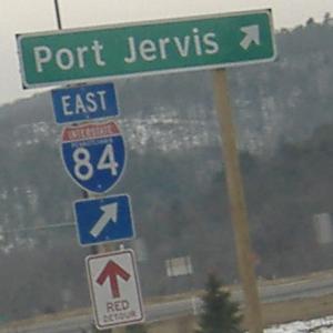
State-name shields on US 6 WB/209 SB at I-84 Exit 53 in Matamoras. There are even more in the other direction.
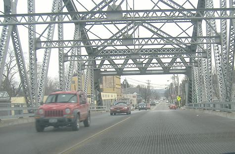
Crossing the Delaware River from New York on US 6/209.
Continue south on US 209
Onto US 6 alone
Onto Business US 209 (former US 209)
Back to US 209 main page
Into New York on US 209
Onto I-80
Onto US 206
Continue on the Upper Middle Delaware Valley Road Meet
Back to Pennsylvania Roads
Back to Roads