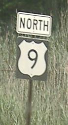
New Jersey Roads - US 9 - South of Mullica River
 south of Mullica River
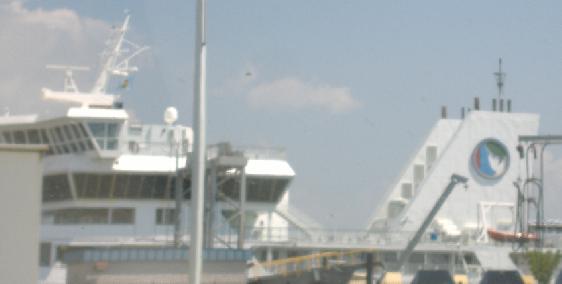
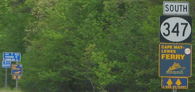
As far south as you can get, the Cape May-Lewes Ferry. Click for closeup of the Delaware Bay logo.
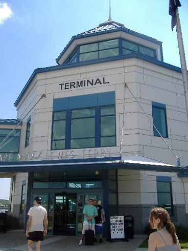
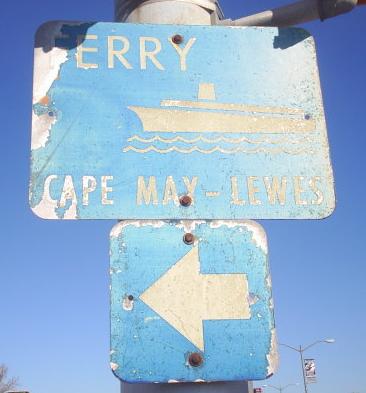
The ferry is technically not US 9. I believe 9 legislatively ends at the ferry terminal entrance, where signs become nonstandard.
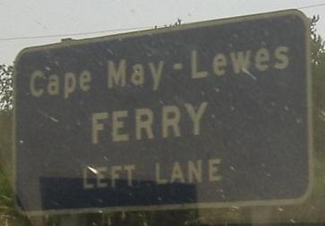
See? Nonstandard signs.
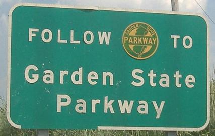
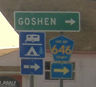
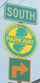
The first NB signs on US 9 after exiting the terminal. Follow Garden State Parkway to the Garden State Parkway? Genius!
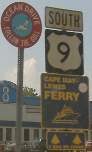
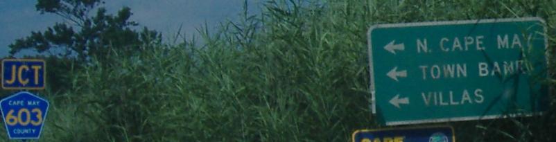
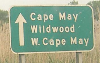
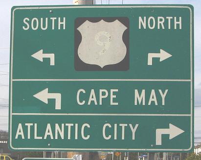
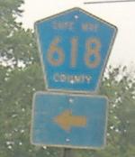
The newer sign is in Cape May approaching NJ's end of US 9, while the old one, courtesy Doug Kerr, is well north of there. And remember to follow well behind the gull. Stay clean, stay safe.
Ugliness SB at the county route that becomes NJ 162, a bridge over the Intracoastal Waterway in its incarnation as the Cape May Canal.
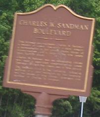
All those songs about the Sandman? Yep, you sing it, this guy gets a nickel.
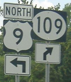
US 9 is ashamed that the old through movement goes straight from North to South, so it omits the direction. The former Y intersection that converged in the EB direction was realigned so that US 9 SB traffic heads straight into NJ 109 SB. Visit the NJ 109 page (link at bottom) for more.
If the ferry isn't fast enough, try an airplane! Courtesy Scott Colbert.
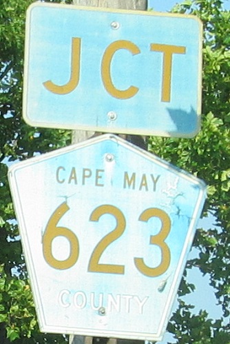
Also from Scott, on Cape May CR 625 WB.
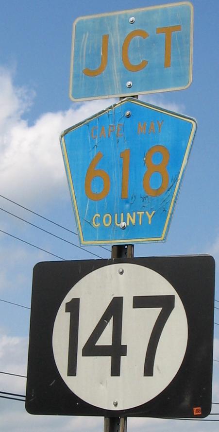
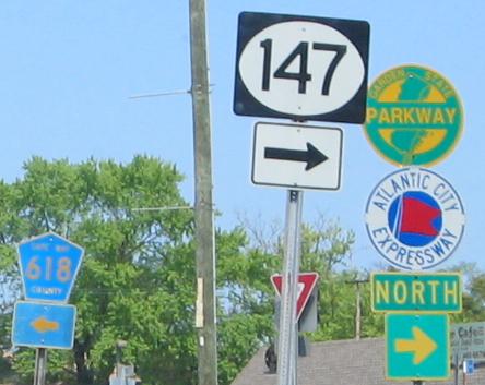
Wow. Three-digit width shield, but two-digit circle... and... it's old! (Well, 1988.) Click on the first photo for exxxtreme closeup, and second photo to include all the shields at the intersection - both closeups courtesy Scott Colbert.
SB in Cape May Court House.
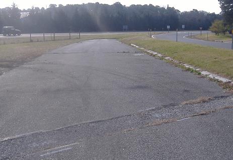
Looking southward down a former NB offramp from the Garden State Parkway next to the still-used as a southbound onramp. Below here, the Parkway has three traffic lights and a few side streets and driveways; then where those end, it moves away from US 9 again. There had been many more at-grade crossings without traffic lights and other driveway connections; the NB Exit 12 was a median left turn that crossed the SB side at-grade (no signal) and came out here.
Looking north and south from the unused former NB ramp. Notice the 1940's-era curb in the median.
 SB.
SB.
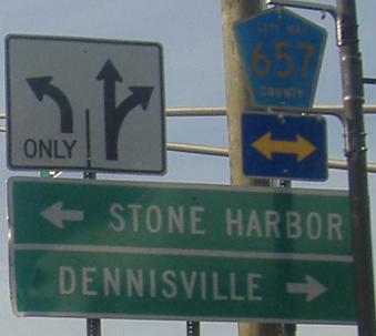
NB at NJ 50, courtesy Scott Colbert. Three different signs, three different greens, three different yellows (one's white).
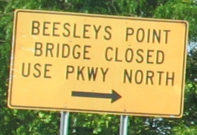
SB first, courtesy Scott Colbert, and then NB a block or two further north at the last chance to get over to the Parkway. The NB county shield is obviously old, but so is the ostensibly "temporary" orange sign. By the time it fades to yellow, it becomes a warning sign and is correct again! There's another mile and a half of state highway that leads to a dead-end where the Beesley's Point Bridge is closed, so to keep going follow that link below.
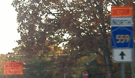
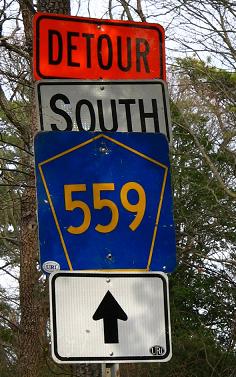
SB looking for CR 559 (first photo), and then NB at and after it. CR 559 is being detoured east of US 9 (signed N-S to confuse you) via NJ 52.
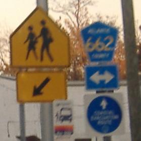
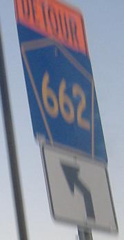
NB at CR 662, then NB at CR 615, then the other side from CR 615 SB. I have since seen a lot more of these, newer ones, suggesting that these mark a bus stop that takes people from the west (Philadelphia and/or its suburbs) to the Jersey Shore. These are still the only old ones I've seen, though.
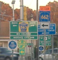
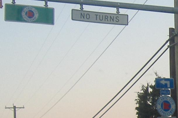
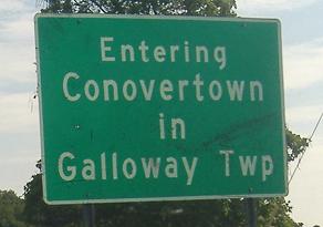
More northbound signs, showing just how many detours there are in the area that use blue-background shields, as well as how often the ACE puts the arrow in the wrong place. In South Jersey, some town entry signs tell you both town and encompassing township name.
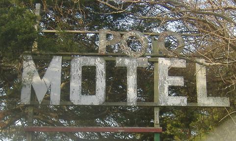
I wouldn't stay there even if it were still open.
See the (closed) Beesley's Point Bridge
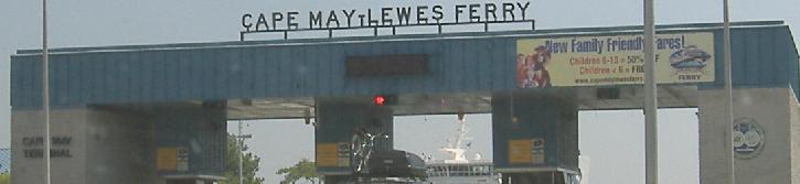
Onto the Cape May-Lewes Ferry
Continue north of the Mullica River on US 9
Onto old US 9 across the Mullica, NJ 167
Back to US 9 main page
Into Delaware on US 9 (via ferry)
To the Garden State Parkway with brief US 9 multiplexes
Onto NJ 109
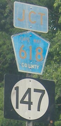
Onto NJ 147
Onto CR 559
Onto NJ 50
Onto CR 563
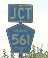
Onto CR 561
The possible US 9 Delaware Bay crossing on Steve Anderson's phillyroads.com
Back to New Jersey Roads
Back to Roads