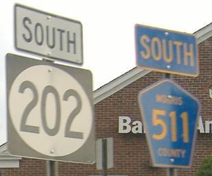
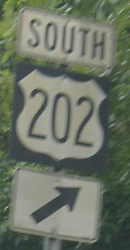
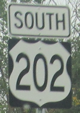
New Jersey Roads - US 202/CR 511 - N. of Morris Plains
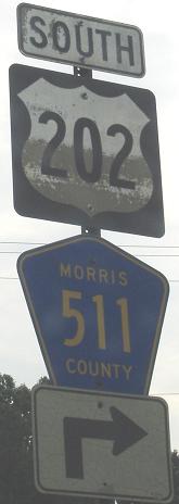
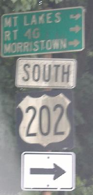
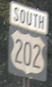
 and US 202/CR 511 north of Morris Plains
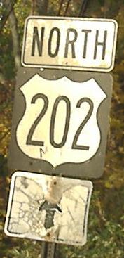
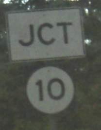
Again SB, with sign overkill at NJ 10.
More little signs at Halsey Rd. The first is SB and the second is supposed to be for Halsey Rd. (WB), but over time it has rotated 180 degrees to face no one.
 Embossed goodness entering Brentwood Dr. May be as old as the street.
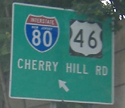
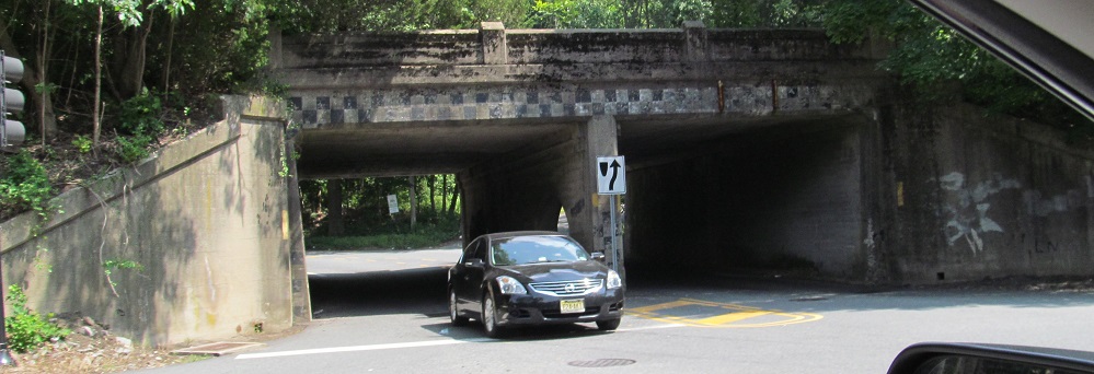
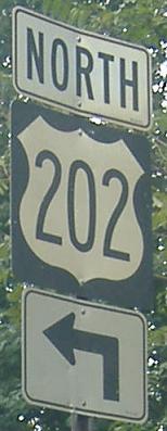
On Littleton Road, which runs E-W between CR 511 and I-80 and carries US 202 (here SB) through the unique half-circle I-80 interchange.
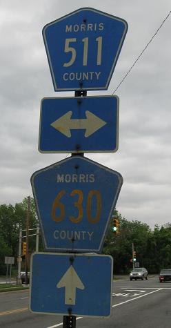
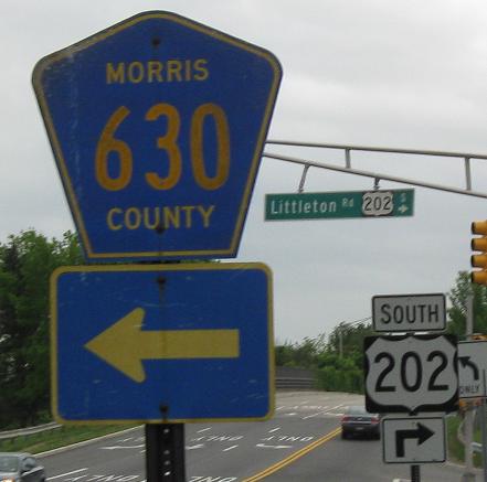
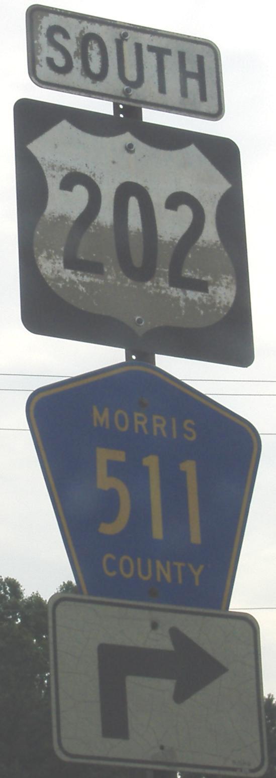
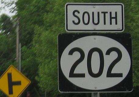
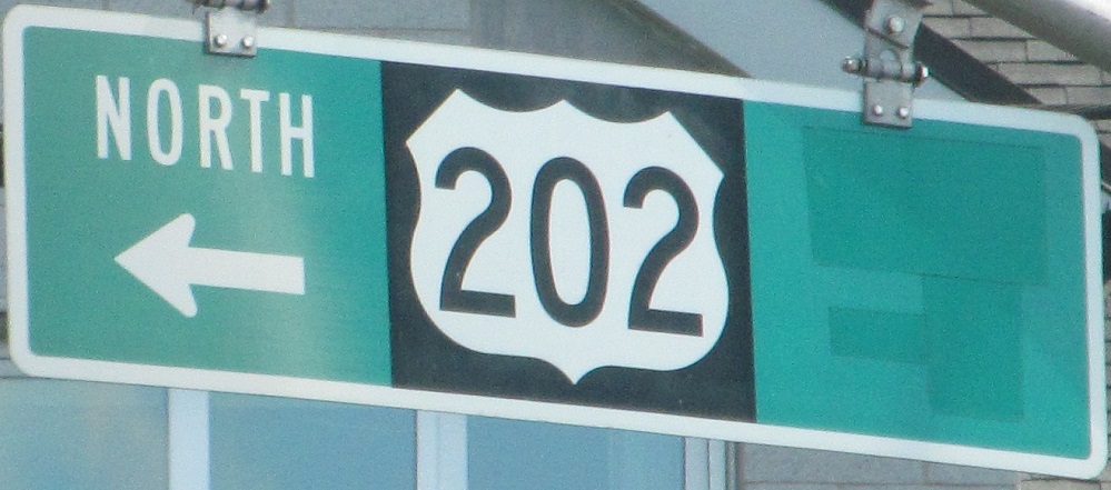
NB and SB at the southern end of the 202/511 multiplex and beginning of CR 630.
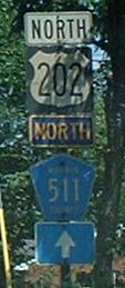
That 2dus shield faced north at the intersection of Littleton and 511, but has since been replaced by a regular shield. The next photo is what you get if you face westward, along US 202 SB:
I guess the same contractor did a lot of NJ 202 shields in the same general US 46/US 202/NJ 10 area. Anyway, Littleton Road goes east to US 46/I-80/I-287, which isn't quite as confusing an interchange as it seems from ground level - NJDOT always provides local access, and often fails at making it convenient. There's a lot more signage required than is present to make things work smoothly, basically.
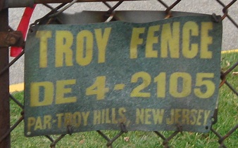
You know it's old when the telephone number begins with a two-letter exchange (presumably for DEnville).
Signs that need to be replaced for different reasons, SB just past US 46.

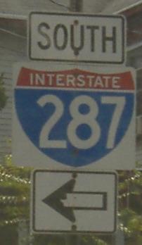
SB at the Exit 43 onramp. I-80 doesn't go south or multiplex with I-287. Try "TO."
Wife-beatingly old signs, Parsippany Blvd. SB south of Boonton at Intervale Road, where US 202 leapfrogs over I-287, only to become Parsippany Blvd. once again just to the south. On the lake (east) side of I-287, Parsippany Boulevard, of course old US 202, is a dead-end, narrow, 2-lane, curvy street. Click on the first sign for a cat-kickingly great closeup. Sorry, after all these pages, I've used up my adjectives for this site.

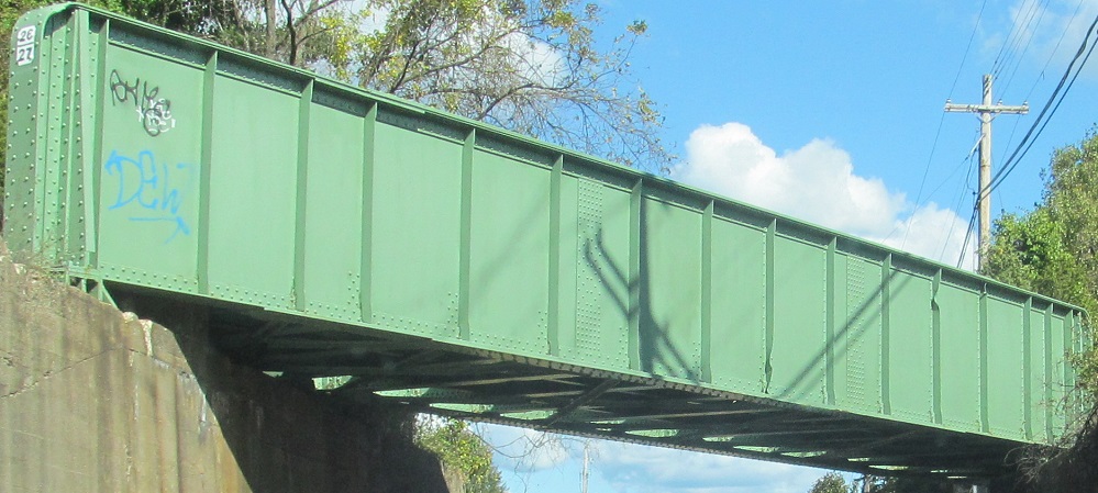
As US 202/CR 511 enter Boonton, they cross the Rockaway River where it enters Boonton Reservoir. That's the closer, higher bridge as I fly over them to the west. The lower bridge behind it to the east is now a pedestrian bridge but was the former Washington St. mainline, and is really only notable for the below-deck truss. In addition to traffic having a much narrower crossing, it had a pair of sharp curves at the north end (left) to get up to where Washington St. is now. That is now a dead end where the residents can rest much easier.
Lathrop Ave. SB at Main St. just outside downtown Boonton. It's also US 202, by the way.
 NB in Boonton.
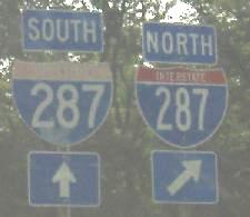
SB in Boonton, and RIDOT invades again. I-287 SB has direct entrances, but I-287 NB requires using Vreeland Ave.
Unfortunately, all the old signs are gone in Boonton, although at least the RIDOT shield disappeared with them. The first photo is as seen from Wootton St. WB and the second photo is once again at Vreeland Ave.
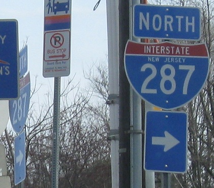
SB at I-287 Exit 47, just north of Boonton.
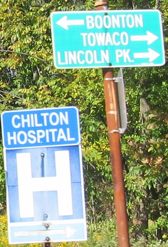

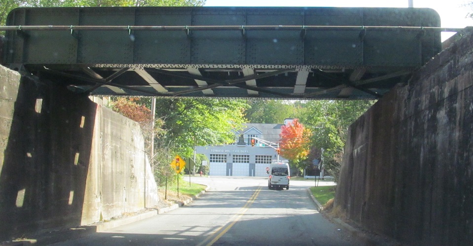
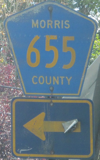
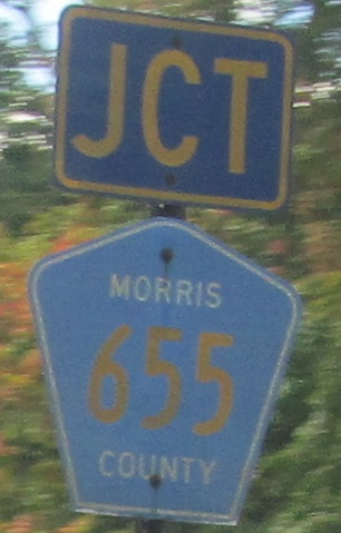
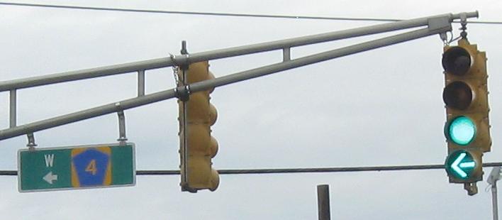
Starting on Changebridge Rd., CR 621, and then heading north (cardinal east) on US 202 toward Lincoln Park. It sends CR 655 under the Montclair-Boonton Line railroad first before taking the plunge, but when it comes to the other end of CR 655, the arrow is clearly pointing the wrong way, because US 202 clearly turns left. See how the "south" and right arrow are greened out on the signal overhead? That's because US 202 doesn't go right. CR 655 goes right. US 202 goes left.
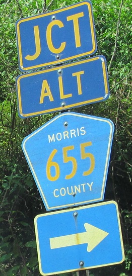
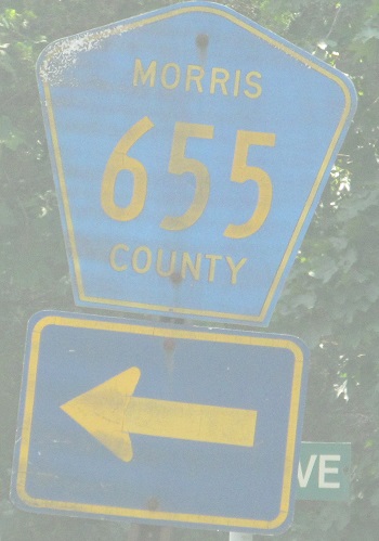
US 202 SB, actually facing cardinal north, starting at the same railroad underpass and going back to the overpass at the west end of CR 655. US 202 turns left on Main Rd. to get to the 3rd photo. What are those arrows? What are any of those arrows?
Another error, Alt. CR 655 (Main Rd., former US 202) WB at US 202. Not at CR 655, at US 202. US 202 used to have a rickety wooden bridge over the railroad before it was rerouted to the underpass - there's a lot of grade changing going on here.
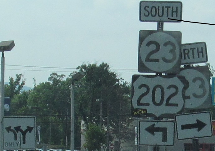
 US 202 turns in Lincoln Park to head toward NJ 23, courtesy Scott Colbert.
NB and SB at Chapel Hill Rd., a one-block route connecting to its two-block parent route.
US 202 left CR 511 several miles ago, and so when it gets to Alt. CR 511, you would expect the alternate route would want to connect back to its parent. That's what an alternate is for. Nope, it continues east here, on a wrong-way concurrency no less, to end at NJ 23. Why not have a right-way concurrency and do something expected?
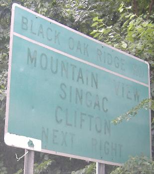
Starting on Terhune Drive, continuing SB along the Paterson-Hamburg Turnpike, and turning onto Black Oak Ridge Road, which leads to the NJ 23 multiplex. You will not see the LGS (second photo) unless you stop, thanks to foliage.
Black Oak Ridge SB, from the new shield that contrasts the old narrow ones before it to faded shields at the beginning of a concurrency.
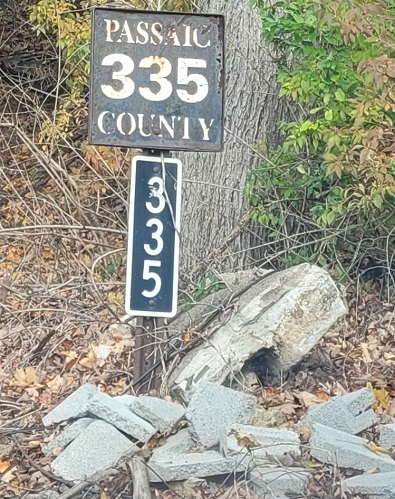
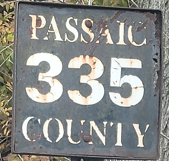
Passaic County ends here, with a sign normally reserved for a bridge parapet. What is it labeling here? This isn't #335, so perhaps there's an underground culvert, but it's cool to see a standalone old bridge sign at the Oakland border.
Just north of there, US 202 NB uses a jughandle to turn left in front of a giant, multi-story Shop Rite that you must experience to believe. If you take the supermarket driveway and exit out the other side, you'll miss these new and narrow County shields at the jughandle gore.
In Oakland south of I-287 Exit 58; the ugly sign is repeated on US 206 in Sussex County north of I-80. It's so ugly, I photograph it every time I pass it just to note how ugly it is.
Bergen County has two systems of county routes. This is the only modern sign legitimizing either of them, NB at Oakland Ave. A number of low-digit county routes supposedly criss-cross the county, but none are recognized by the NJ Straight Line Diagram. The rest are all above 25. The low-numbered routes are basically touring routes, an overlay on the actual county route system, if they're official. This Bergen County assembly suggests that they do still exist. We're fortunate that US 202 is county-maintained but still a state highway so that this assembly could even be made possible.
NB under NJ 17.
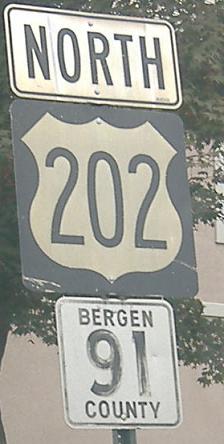
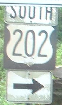
Toward the top of Bergen County, US 202 shields get quite old, at 2dus width. They also get the nifty old square Bergen County shields; only Monmouth County joins Bergen in maintaining 1- and 2- digit county routes. This part of US 202 is county-maintained; in fact, from NJ 53 on northward, minus the NJ 23 multiplex, it's entirely a county road, which is very interesting because there are almost no other state routes for which this is the case. NJ 41 and 347 are about it - and NJ 29 ends under town maintenance. Skyline Drive is thus numbered CR S-91 as a spur from US 202.
 A little south of the CR 91 shields above.
Right before the highway ends in New Jersey, proof that the state isn't involved with this part of US 202; Bergen County actually built this bridge to carry 202 back when it was first laid out.
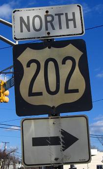
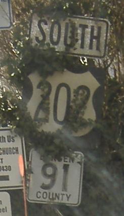
The first shield is on US 202 SB at the New York/New Jersey border (definitely an NJDOT shield, though), and the second is northbound at that same intersection, where CR 507 also begins to the right from the northeastern side of a low railroad bridge. US 202 NB traffic is fighting a very short sight distance, brought on by a curve and the RR underpass, and is helped by a traffic signal (as well as a no turn on red policy). Here, NB traffic turns left, only to be going EB in New York; US 202 is one of those routes that changes directions every other state. If you think about it, though, NB usually turns left to WB, and indeed US 202 EB goes west for a short time before swinging to the right and turning in Suffern.
Onto NJ 23 and US 202/NJ 23
CR 510 and US 202/CR 510 in Morristown
Continue south on US 202
Onto CR 511 alone
Back to US 202 main page
Into New York on US 202
Onto NJ 10
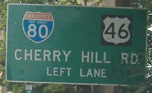
Onto I-80
Onto US 46
Onto Morris CR 630
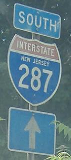
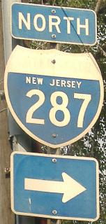
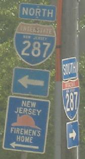
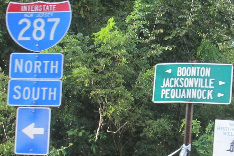
Onto I-287
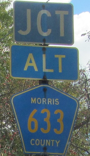
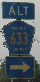
Follow Alt. CR 633 to regular CR 633
Onto Alt. CR 511
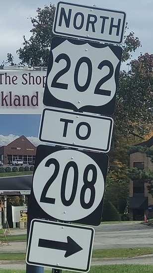
To NJ 208
Into Morris County
Into Bergen County
Back to New Jersey Roads
Back to Roads