New Jersey Roads - CR 538


Some WB shields, starting just beyond NJ 55 at Monroeville Rd., then to Willow Grove Rd. in Harding, ending at Hardingville Rd.


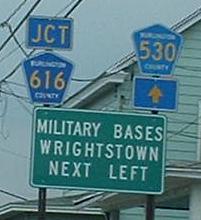
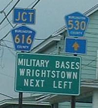
CR 616 splits off from CR 538 WB at a shallow angle. To capture these photos, I came south on CR 641, Ellis Mill Rd. (photo atop this page), then turned east on CR 538 for a block and made such an acute right turn that I had to make a K-turn out of it before snapping the last photo. It looks like the last digit of the last photo is a patch, possibly over a "5."


WB once more, you can see from the patches that Mullica Hill was signed to the left and Woodstown to the right. Pull out the map, clearly NJDOT got the arrows wrong. Okay, so the obvious course of action would be to patch over them with correct arrows. Or, to be less confusing, patch over the entire line so that the arrows are on the correct sides. Or, even better, make the contractor redo the sign (this only works if it's not the state's fault for drawing up or approving the wrong sign). Worst thing they could do is just leave the destinations with no hope of figuring out which is which way.


WB at CR 694 and then CR 694 EB at the same intersection. CR 694 and CR 538 bump off of each other here, but a very important shield assembly is missing to help motorists with this fact - or at least have the left arrow replaced with a left/straight to give a hint that 538 goes to the right. Luckily, both routes end a short distance apart in Swedesboro, both at CR 551, but driving should not be luck-based.

CR 694 EB gets it right with a second shield assembly. The entirety of 538 had to be patched - over what? What route didn't need its shield?


Facing west at the current end of CR 538. It used to multiplex north a short distance to what is now CR 653, then ended at US 322. Click each side for a closeup of something cool.
Onto CR 667
To NJ 55
Onto CR 609
Onto NJ 45
Onto CR 551
See more of Gloucester County
Back to New Jersey Roads
Back to Roads


