Colorado Roads - C-36
State Highway C-36
All photos on this page courtesy Michael Summa on what used to be US 36. In fact, US 36 is right next to C-36 on I-70 the whole way. That's not confusing.


C-36 WB nearing its end, and EB right around where C-36 begins on the north frontage road of I-70, mid 1980's.


C-79 NB and SB, mid 1980's. In the first photo, C-79 is leaving its multiplex with C-36 EB, and is joining it in the second photo.


Leaving Bennett and C-79, 1987, and then on "the county road from Kiowa" in that same year. It's NB, and Google Maps labels it CR 137. The white arrows above the shield appear to date back to when this was still a US Highway. Click for closeup, just because I can.

Leaving the I-70 WB service area by Exit 306, visible to the right of the giant red arrow, in 1983. The road that heads northwest from there, and east along I-70, happens to be C-36, which is why this sign landed on this page. It's unusual for combining three colors on a single green sign, and, well, it's unique. Ever seen this before?

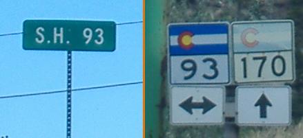
Right by the same service area, mid 1980's and then 1987. The C-36 shield appears to be the first generation after COLORADO squares.


EB in 1985 and WB in Byers in 1987. The EAST and WEST are the small size used by many states long ago and now by almost no one. This junction was where US 36 joined US 40.
Onto I-70
Onto C-40
Back to Colorado Roads
Back to Roads